Indiana State Route 28 spans the entire width of Indiana, at a latitude roughly 30 miles north of Indianapolis's position. It enters the state crossing from Illinois, as Illinois Route 119 becomes Indiana State Route 28. It heads east from there through towns like Attica, Frankfort, and Tipton, passing around the north side of Muncie. In its final ten miles, it diverts southeasterly to Union City, straddling the Ohio border, where the road continues as Ohio State Route 571.
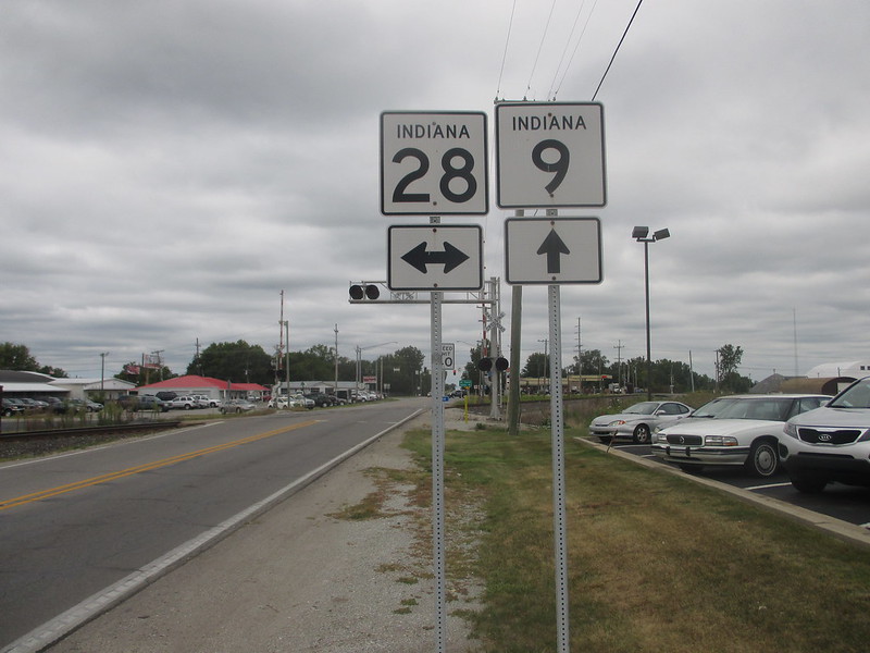
My photo is at Alexandria, Indiana, where Indiana State Route 9 crosses Indiana State Route 28. This assembly is for northbound traffic on Route 9 approaching the four-way intersection, which sits north of Anderson and northwest of Muncie.
Back to the Indiana main page.
Back to the home page.
Back to the Indiana main page.
Back to the home page.
