Michigan Highway 138 is a fairly short east-west route just east of the Saginaw-Bay City area. It is used to access the small towns of Fairgrove and Akron, several miles inland of Saginaw Bay. Twenty miles in length, Michigan Highway 138 runs east from Michigan Highway 15 to Fairgrove. At Fairgrove, Michigan Highway 138 turns to the north for three miles. The remainder beyond those three miles is in a purely eastward direction through Akron to the eastern end, at Michigan Highway 24. The southwestern end of Michigan's Thumb is in the area of Michigan Highway 138's eastern terminus.
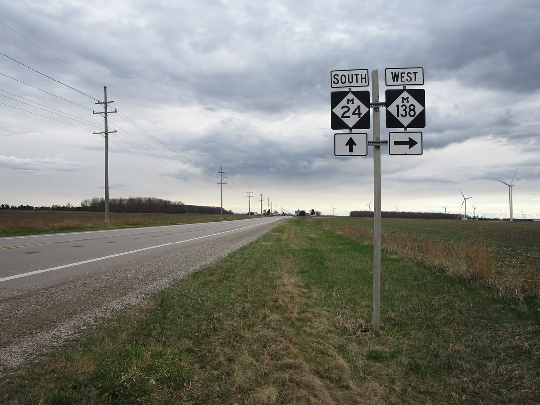
My photo of Michigan Highway 138 comes from the eastern end at Michigan Highway 24, just east of Akron, Michigan. The guide assembly shown faces north, for the purpose of pointing out the turn onto Michigan Highway 138 to southbound traffic on Michigan Highway 24. Usually I stray away from photographing signage that faces north for southbound traffic, because the photographs turn out backlit by the sun (the sun lies to the south to some extent in the northern hemisphere). The overcast sky was the great equalizer in this case, though, as I photographed this scene on this cloudy day in April 2021. This was toward the tail end of a trip around Metro Detroit and the Michigan Thumb.
Back to the Michigan main page.
Back to the home page.
Back to the Michigan main page.
Back to the home page.
