Ohio State Route 243 is an east-west chord cutting across the southernmost lobe of Ohio. It is found across the Ohio River from Ashland, Kentucky, and Huntington, West Virginia. Unlike US Route 52 and Ohio Route 7, which follow the Ohio River closely, Ohio Route 243 ventures up into the hills to serve upland areas. The western end is at US Route 52 at Coal Grove, across the river from Ashland, Kentucky. Ohio Route 243 reaches eastward to the southern end of Ohio Route 378, and it dives southeasterly from there. The southeastern end of the route is at Ohio Route 7 between Chesapeake and Proctorville. The east side of Huntington, West Virginia, is just across the river from this terminus.
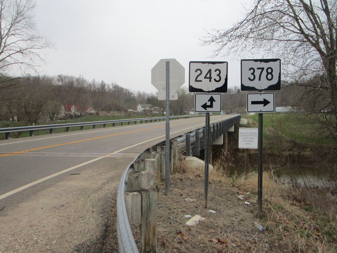
My photo for Ohio State Route 243 signage comes from the southern end of Ohio Route 378. Ohio Route 243 comes in from the background to turn toward the left; in other words, it comes from the west to turn south. At this southerly turn, Ohio Route 378 gets started on its journey toward the north. This pair of guide markers faces the only approach to the intersection that doesn't carry a state highway designation (the eastern one). This photo was taken in March 2021, during the tour of southeastern Ohio.
Back to Ohio Routes 200-299.
Back to the Ohio main page.
Back to the home page.
Back to Ohio Routes 200-299.
Back to the Ohio main page.
Back to the home page.

