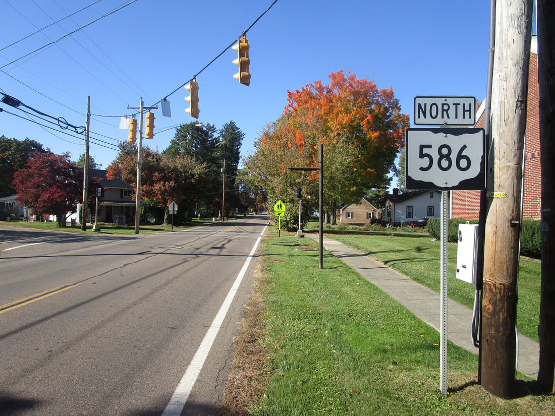
Ohio State Route 586 runs southeast from Mount Vernon into Muskingum County, in central Ohio. Ohio Route 586 is about 30 miles long, beginning at Ohio Route 13 on the south side of Mount Vernon, Ohio. From this northern terminus, Ohio Route 586 runs southeasterly through the foothills in the region east of Columbus. This includes portions of Knox County and Licking County. The state highway passes through Martinsburg, and it meets an interchange with Ohio Route 16. The southeastern end lies at Ohio Route 146, which gives travelers a way to continue southeasterly to Zanesville.
My photo for Ohio Route 586 shows a northbound trailblazer as the highway is approaching its northern end in Mount Vernon. More specifically, this trailblazer sits at Division Street in Mount Vernon. Ohio Route 586 only continues for another quarter of a mile into the background, to end at Ohio Route 13. This photo was taken on the way from Columbus to points all over northeastern Ohio in October 2022.
Back to Ohio Routes 500-599.
Back to the Ohio main page.
Back to the home page.
Back to Ohio Routes 500-599.
Back to the Ohio main page.
Back to the home page.

