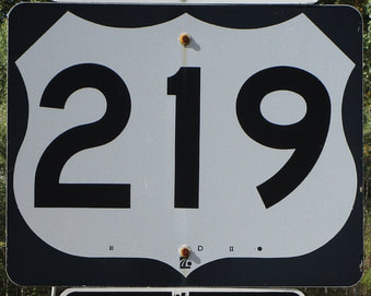
US Route 219States traversed: New York, Pennsylvania, Maryland, and West Virginia, with a slight foray into Virginia
|
|
US Route 219 runs north-south from the suburbs of Buffalo, New York, to a point in Appalachia along the border between Virginia and West Virginia. The northern end is at Interstate 90 in West Seneca, New York, just barely south of the Buffalo city limits. From there, US Route 219 heads south, dividing the western third of Pennsylvania from the rest of the state. Beyond Pennsylvania, US Route 219 cleaves through the western tip of Maryland and runs along the eastern side of West Virginia's main body (i.e. the whole excluding the eastern panhandle). The southern end of US Route 219 barely pokes into Virginia, ending at US Route 460 in a town called Rich Creek.
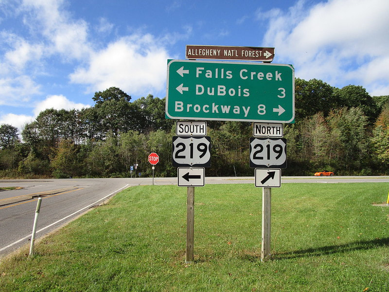
My photo for US Route 219 comes from the westbound offramp at its interchange with Interstate 80 in Pennsylvania. The location of this photo is about one-third of the way across Pennsylvania from north to south, and one-third of the way across Pennsylvania from west to east. This is just outside of DuBois, Pennsylvania. This photo was taken on the way home from my trip to the Maritime Provinces and Maine in October 2019.
Back to the nationwide main page.
Back to the home page.
Back to the nationwide main page.
Back to the home page.
