Michigan Highway 1 follows Woodward Avenue, radiating north-northwesterly out of downtown Detroit to Pontiac. The southern end is at Adams Street in downtown Detroit. From there, Michigan Highway 1 follows Woodward Avenue, which serves as the division between east side address and west side addresses, up until Highland Park. (North of here, Detroit's streets align to a classic grid based on the cardinal directions, and a different street called John R Road serves as the dividing line.) Even as the predominant street grid becomes oriented along the cardinal directions beyond Highland Park, Michigan Highway 1 stays on its straight, north-northwesterly course. After passing through Royal Oak, Ferndale, Birmingham, and Bloomfield Hills, Michigan Highway 1 approaches Pontiac. Still on Woodward Avenue, Highway 1 ends at an east-west road called Square Lake Road. That Square Lake Road brings Business US24 in from the west, and it brings Business Loop I-75 in from the west; both of these business alignments take Woodward Avenue over from Michigan Highway 1, which ends at this junction.
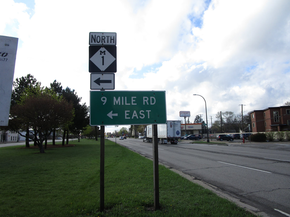
My photo for Michigan Highway 1 comes from the median of Woodward Avenue in Ferndale. Just south of 9 Mile Road, the sign assembly in this photograph points northward for southbound travelers. The intersection of Woodward and 9 Mile features a classic Michigan left; the sign assembly shows the U-turn to the northbound side of Woodward Avenue. This photo was taken in April 2021 as part of the trip around Metro Detroit and the Thumb of Michigan.
Here are some more photos of Michigan Highway 1:
Here are some more photos of Michigan Highway 1:

Southbound Michigan Highway 1 approaching its southern terminus in Detroit.

The southern end of Michigan Highway 1 at Adams Street in Detroit.

Northbound Michigan Highway 1 near Michigan Highway 102.
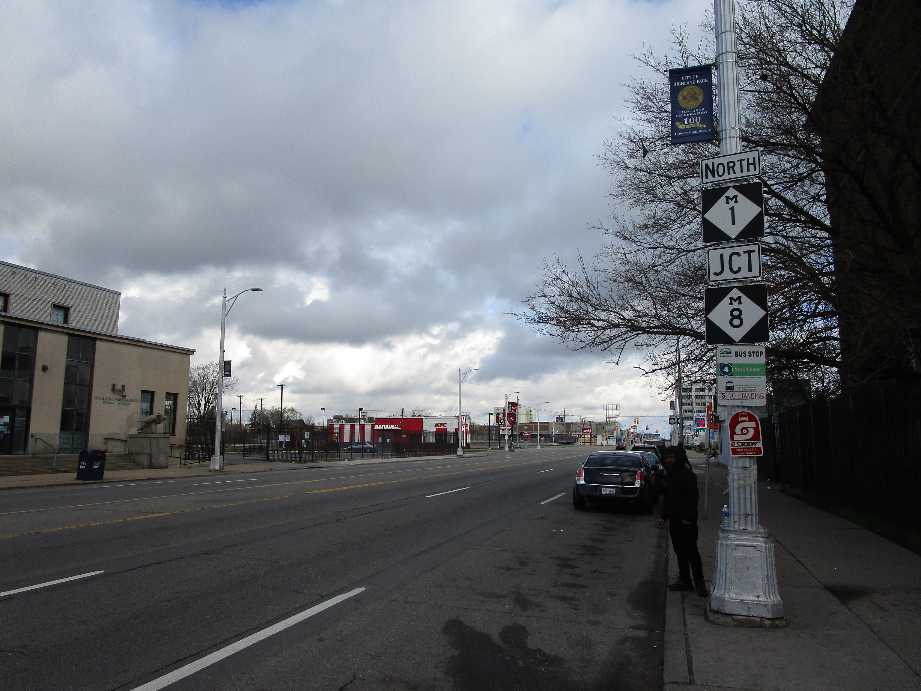
Northbound Michigan Highway 1 approaching Michigan Highway 8.

Northbound Michigan Highway 1 heading away from Interstate 75.
