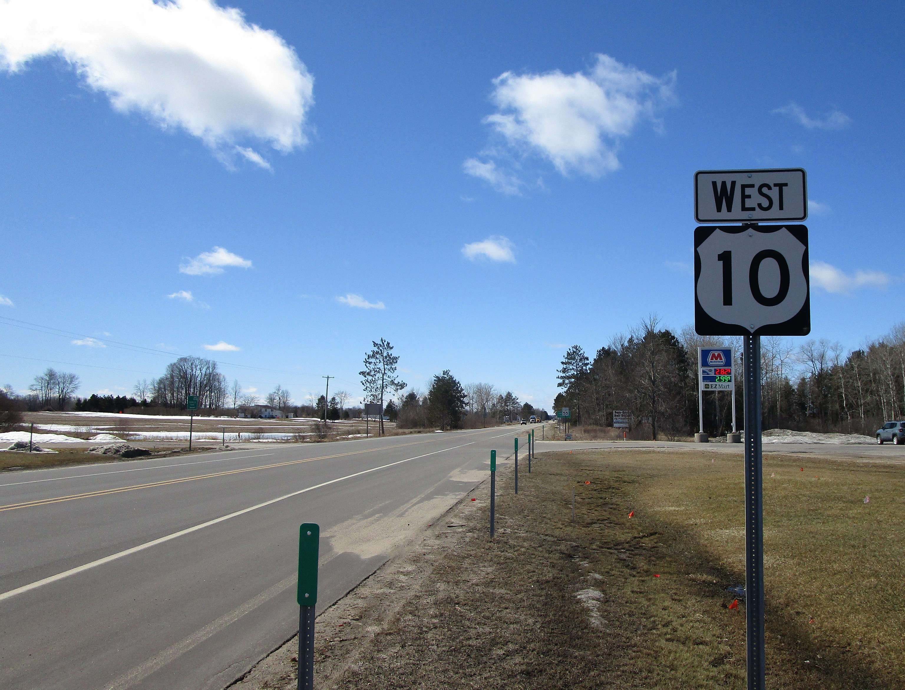
US Route 10 in Michigan runs east-west across the Lower Peninsula, at a latitude even with Saginaw, arriving by ferry across Lake Michigan from the state of Wisconsin. The western ingress of US Route 10 is the ferry between Manitowoc, Wisconsin, and Ludington, Michigan. From Ludington, US Route 10 sets out toward the east as a two-lane rural highway, a little more than halfway up the height (north-south distance) of the Lower Peninsula. Near Farwell and Clare, at the central backbone of Michigan, US Route 10 becomes a freeway and angles east-southeastward. US Route 10 remains a freeway as it becomes the main highway serving Midland. Then, as US Route 10's last order of business, it connects Midland to Bay City, where US Route 10 ends at Interstate 75. The highway continues east beyond Interstate 75 as the northwestern end of Michigan Highway 25.
My photo of US Route 10 in Michigan shows the westbound reassurance marker for travelers turning off of Michigan Highway 66. This signage is located at the junction of Michigan Highway 66 and US Route 10, just east of Evart, Michigan. Westbound travelers see this sign affirming their course along US Route 10 toward the west. This photo was taken in March 2019 as I was driving around middle portions of the Lower Peninsula.
Back to the Michigan main page.
Back to the home page.
Back to the Michigan main page.
Back to the home page.

