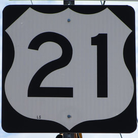
US Route 21 is a fragment of a highway that once stretched from Cleveland, Ohio, to the South Carolina coast; the northern part was truncated to Wytheville, Virginia. This truncation took place because Interstate 77 supplanted the northern half of the highway. The northern end of the highway now sits at an interchange with Interstate 81 on the north side of Wytheville; US Route 52 is concurrent with US Route 21 at this interchange, and it continues off to the north. US Route 21 continues south nearby the portion of Interstate 77 from Wytheville south to Columbia, South Carolina. This leads US Route 21 to pass through Statesville and Charlotte in North Carolina. Unlike Interstate 77, US Route 21 continues south beyond Columbia, South Carolina, through Orangeburg and Beaufort. US Route 21's final stretch continues beyond Beaufort, which is already near the coast, to end on Hunting Island at South Carolina's Hunting Island State Park.
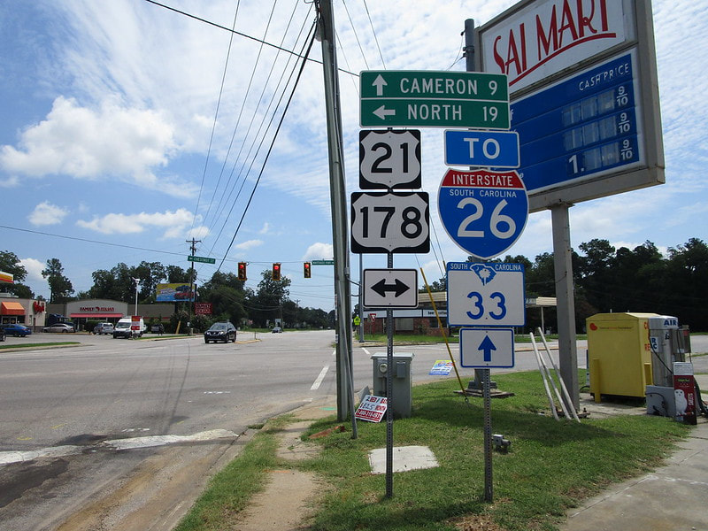
My photo of US Route 21 comes from Orangeburg, South Carolina. South Carolina Route 33 is heading east into the photograph, through an intersection with US Route 21 and US Route 178 which run together, flanking the exact city center to the northeast. Orangeburg was the main focus of my detour around South Carolina in July 2019, because I wanted photos of US Route 21, US Route 178, US Route 601, and Interstate 26--all of which converge in Orangeburg. Orangeburg is located southeast of Columbia.
Back to the nationwide main page.
Back to the home page.
Back to the nationwide main page.
Back to the home page.


