Ohio State Route 163 is an east-west route from the southeastern outskirts of Toledo to the Marblehead Peninsula. This is an area south of Lake Erie's westernmost portion. The western end is at the tiny town of Stony Ridge, at US Routes 20 and 23. Those two US highways run southeast out of Perrysburg as a twosome. Ohio Route 163 starts off by heading straight eastward into the farmland of Ottawa County, passing through Genoa and Oak Harbor. From Oak Harbor eastward, it follows along the north side of the Portage River. Then, Ohio Route 163 serves as the main route through Port Clinton; Ohio Route 2 serves as the express route, bypassing Port Clinton to the south. Here, Ohio Route 163 enters the Marblehead Peninsula. It follows the northern shore of the peninsula east of Catawba Island. Ohio Route 163 passes through Lakeside Marblehead and the Kelley's Island Ferry Dock, but it's not done yet. Ohio Route 163 wraps around the eastern extent of the peninsula, and begins heading west along the south shore for a bit. The end of the route occurs at the junction with Hartshorn Road near the southern shore of the peninsula.
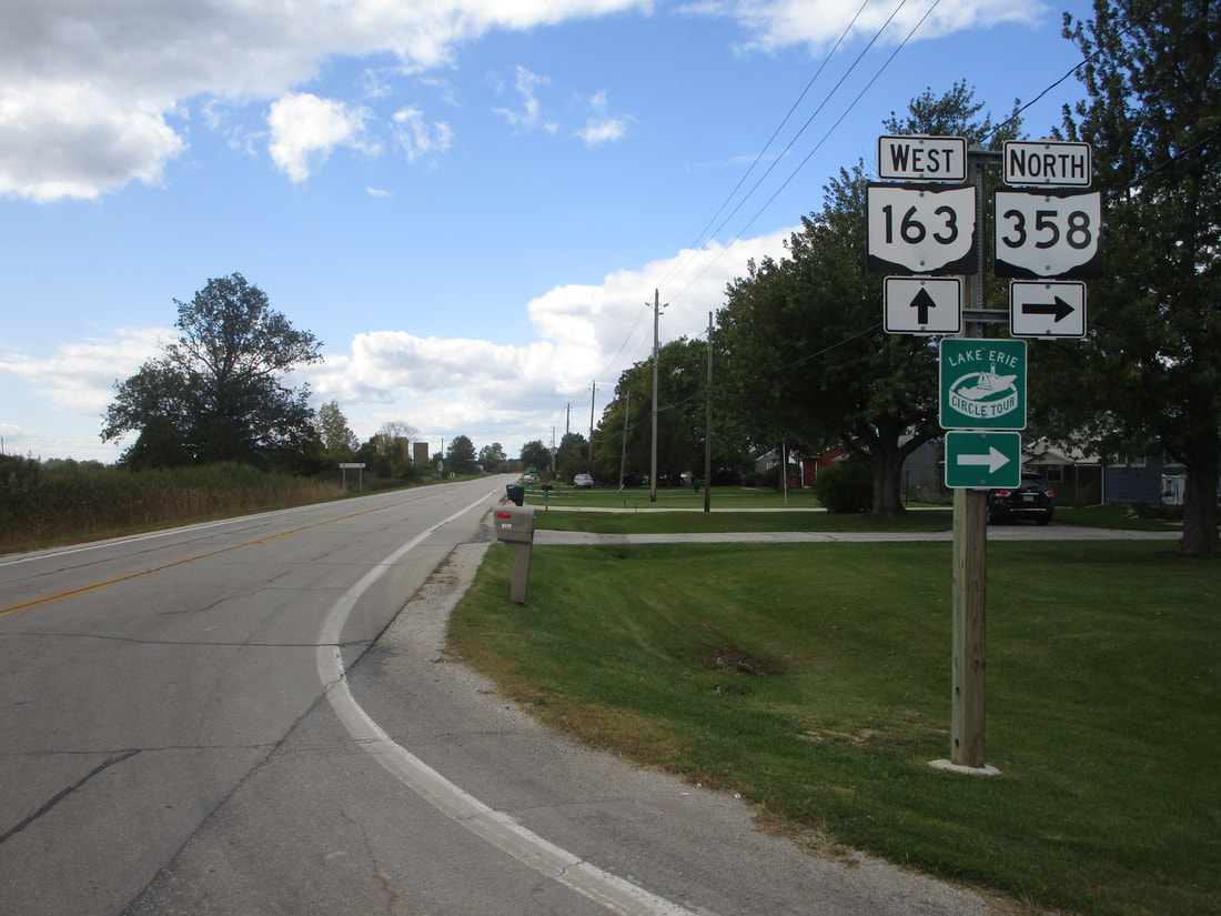
My photo of Ohio State Route 163 comes from its junction with Ohio Route 358 just west of Port Clinton. Westbound travelers on Ohio Route 163 will use the guide assembly depicted to pick out the turn onto Ohio Route 358's southern beginning. This photo was taken in October 2023, as part of the trip to the Lake Erie Islands and northwestern Ohio.
Back to Ohio Routes 100-199.
Back to the Ohio main page.
Back to the home page.
Back to Ohio Routes 100-199.
Back to the Ohio main page.
Back to the home page.

