Michigan Highway 33 is a north-south highway in the northern part of the Lower Peninsula. It lies east of Interstate 75, and just a bit east of a hypothetical central meridian through the upper part of the mitten. The northern end is at Michigan Highway 27, a few miles south US Route 23, Cheboygan, and the western reaches of Lake Huron. From there, Michigan Highway 33 heads south and joins Michigan Highway 68 east into Onaway. At Onaway, Michigan Highway 33 splits ahead to continue south through Atlanta and Mio. The southern end of Michigan Highway 33 is at Interstate 75's southeasterly pathing at exit 202. This is alongside the tiny town of Alger.
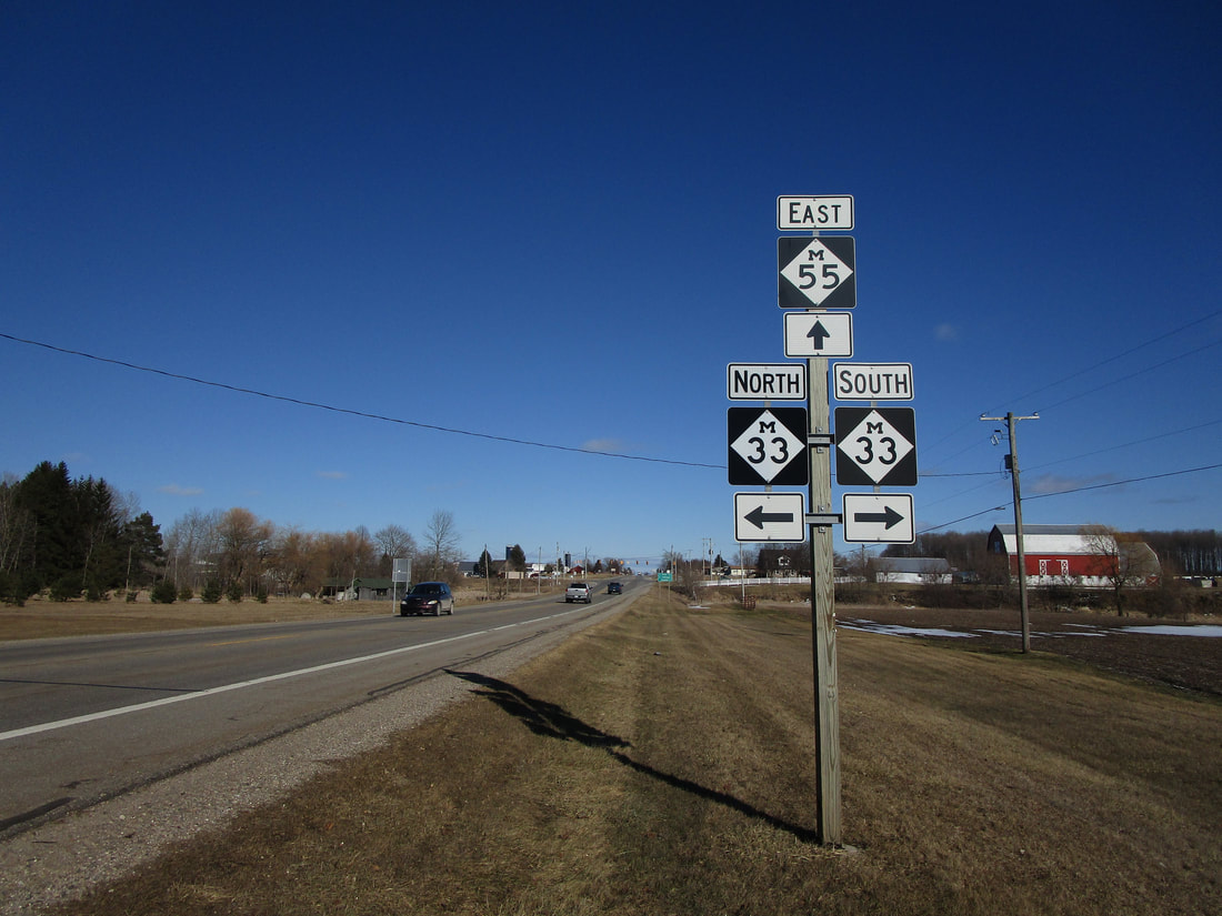
My photo of a route marker for Michigan Highway 33 comes from that highway's junction with Michigan Highway 55. This is the first intermediate junction encountered by Michigan Highway 33, north of its southern endpoint. The signage depicted is an eastbound guide assembly on Michigan Highway 55. The signage faces westbound so eastbound travelers know where to turn onto Michigan Highway 33. This photo was taken in March 2019 along a trip around central and south-central portions of the Lower Peninsula.
Here are some more photos from Michigan Highway 33:
Here are some more photos from Michigan Highway 33:

The northern end of Michigan 33 at Michigan 27 on the south side of Cheboygan.
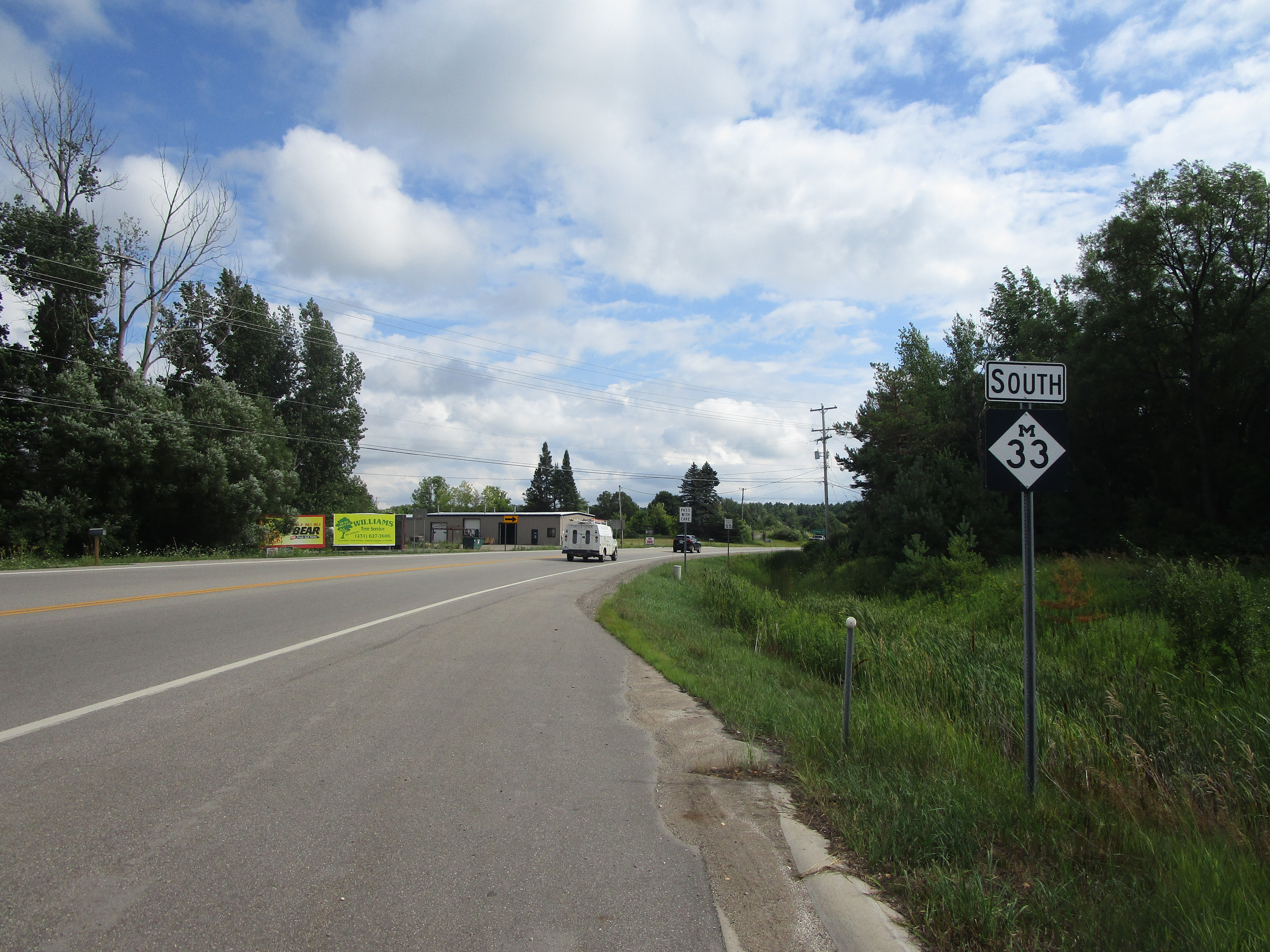
The first southbound reassurance marker coming off of Michigan 27.

Michigan Highway 33 at Michigan 212 near Aloha.
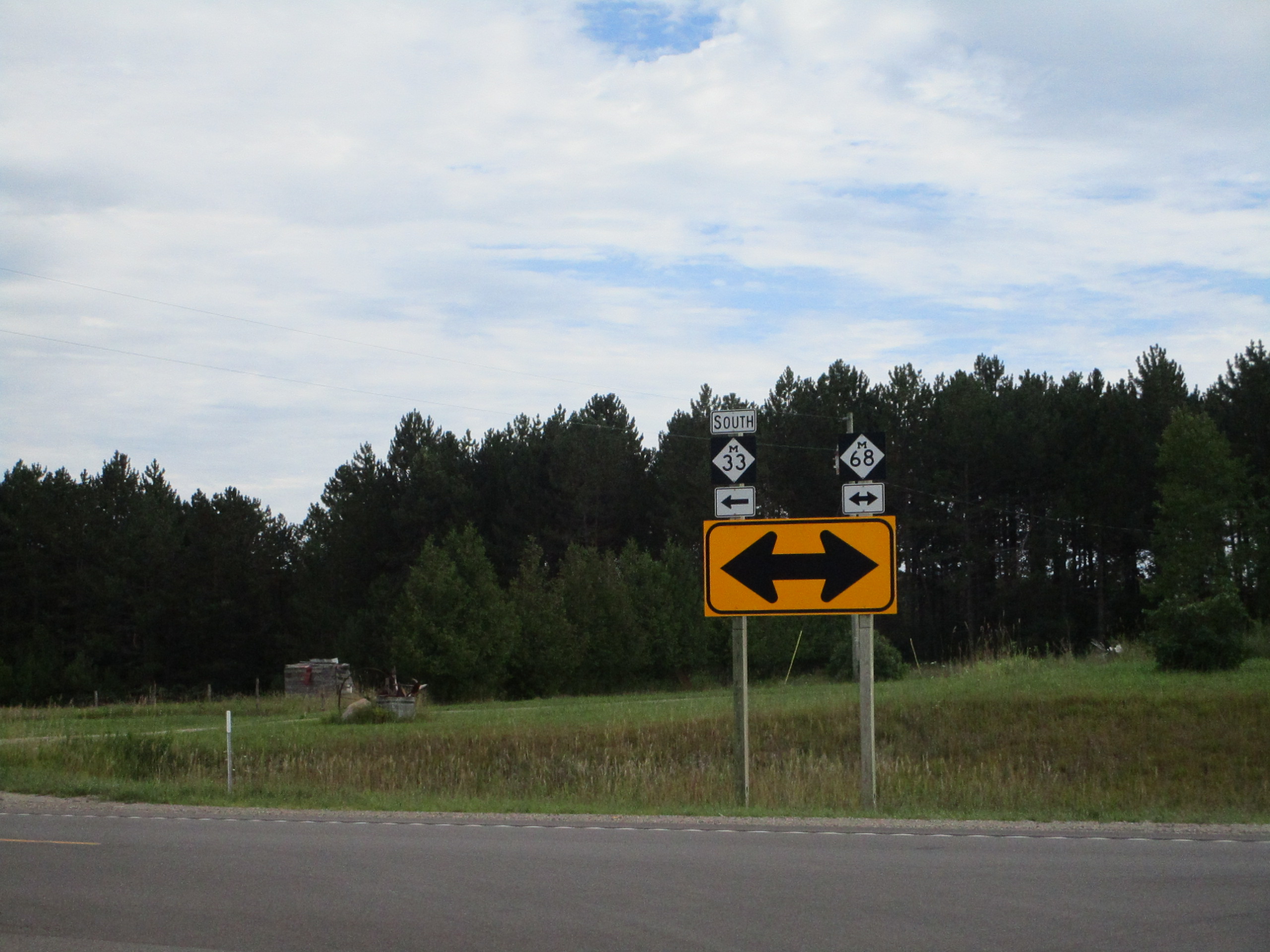
Michigan Highway 33 southbound as it joins Michigan Highway 68 east. This is west of Onaway.
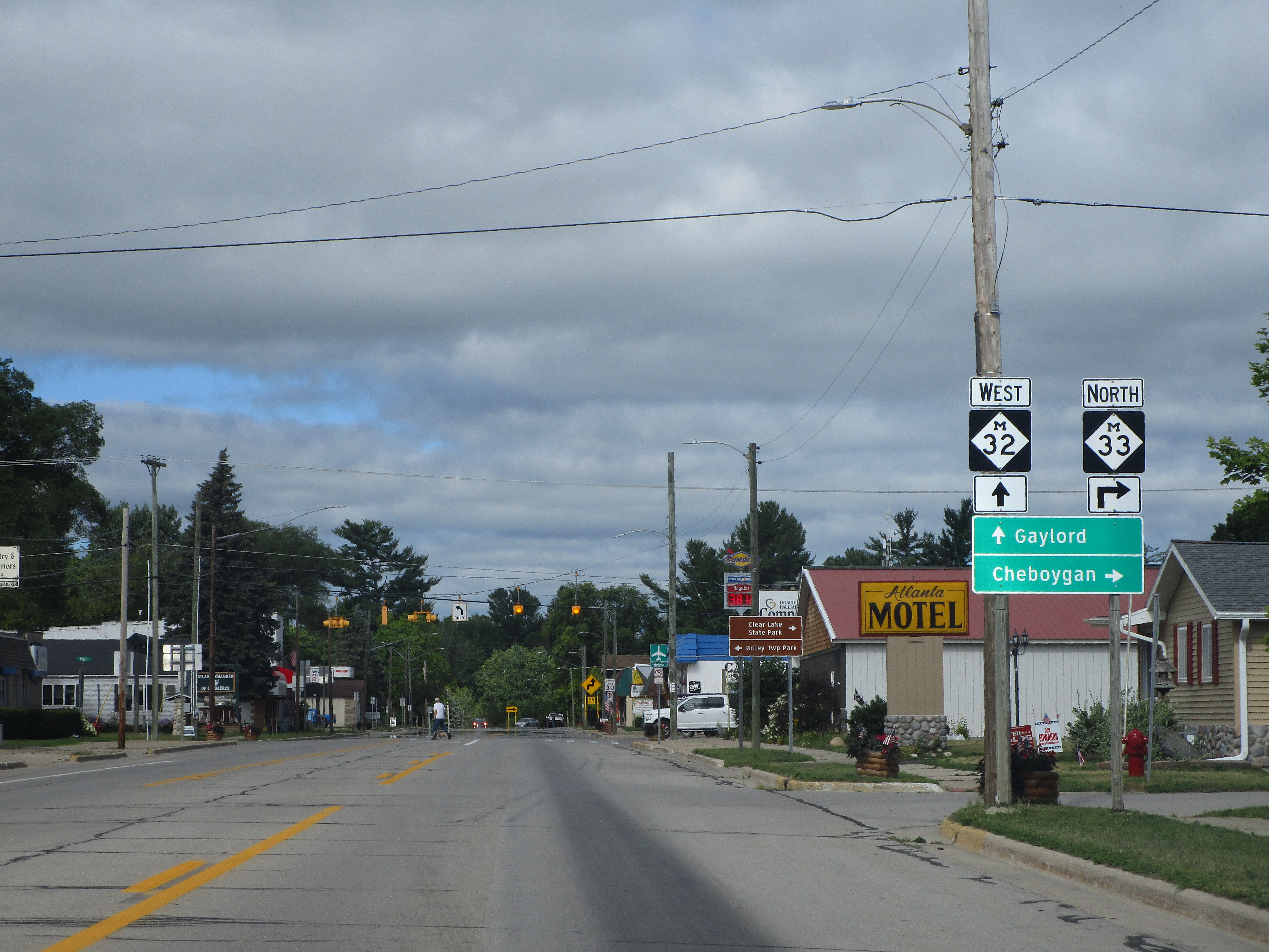
Michigan 33 at its western split from Michigan 32 in Atlanta, Michigan.
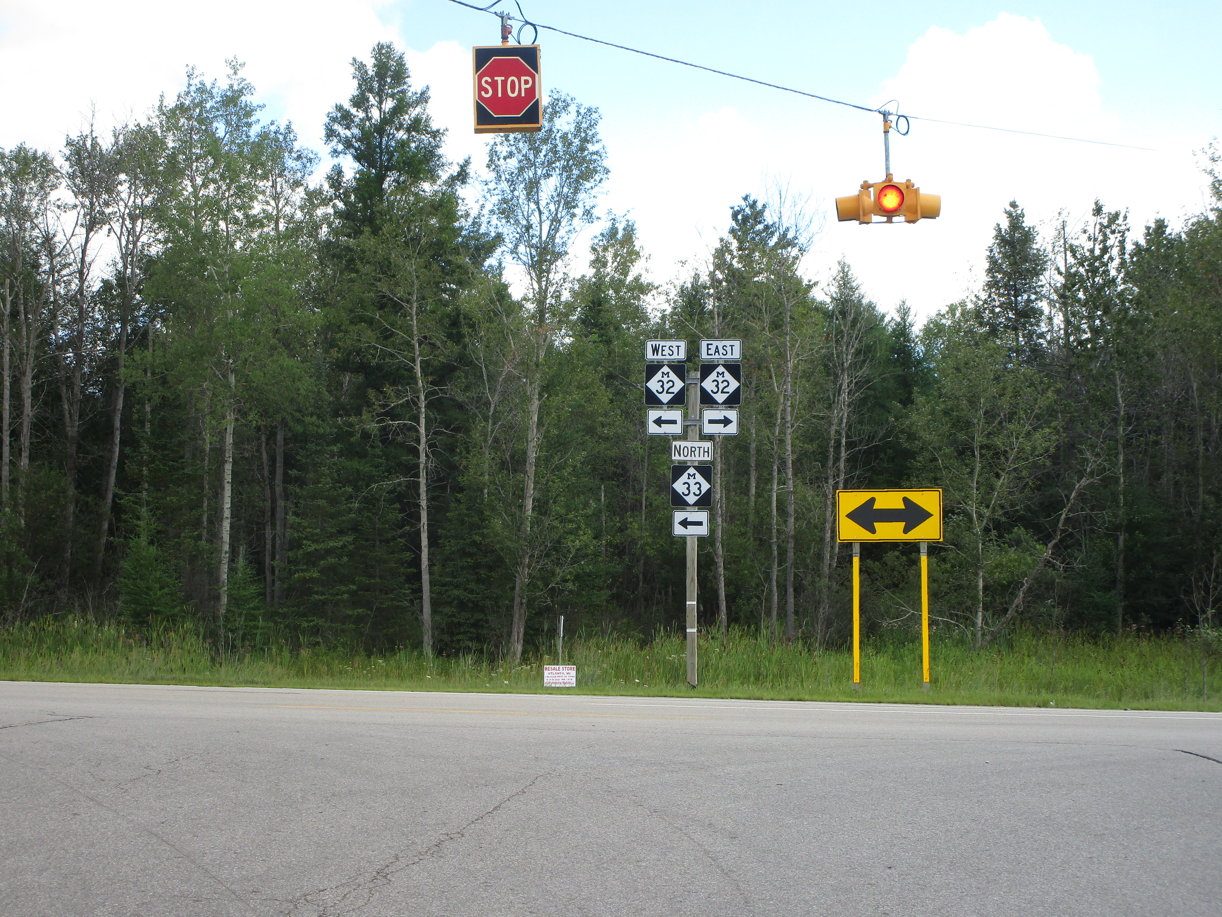
Michigan 33 looking north at the other end of its concurrency with Michigan 32, east of Atlanta.
