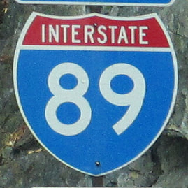
Interstate 89 runs in Vermont and New Hampshire, with an overall pathing that's angled to be northwest-southeast. The southeastern end of Interstate 89 is in Concord, New Hampshire, at Interstate 93. From there, Interstate 89 runs northwest to Lebanon, New Hampshire, where the freeway crosses the Connecticut River into Vermont. Upon entering Vermont, Interstate 89 is immediately greeted by an interchange with Interstate 91. Interstate 89 continues northwesterly and northerly to Montpelier, Vermont, where the highway turns northwesterly again. It turns northwesterly so it can connect to Burlington, the largest city in Vermont. At Burlington, Interstate 89 turns northerly onto its final segment, paralleling US Route 7, and bound for the Canadian border in northwestern Vermont. The northern endpoint of Interstate 89 is a Canadian border crossing on the eastern bank of Lake Champlain, next to the northern end of US Route 7. The highway continuing north beyond the border crossing is Quebec Route 133, which leads to a freeway bound for Montreal, Canada, labeled as Autoroute 35.
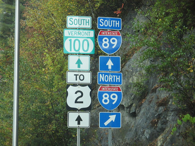
The sign assembly home to my photo of an Interstate 89 marker sits at the interchange connecting Interstate 89 to Vermont Route 100 in Waterbury, Vermont. The sign assembly in the picture faces north on the north side of the interchange, and it points out the location of the westbound onramp to Interstate 89 (signed as Interstate 89 north). This photo was taken just after a bout of rainfall, on a day in October 2015. I was on the big Northeast trip when this photo was taken.
Back to the nationwide main page.
Back to the home page.
Back to the nationwide main page.
Back to the home page.


