Ohio State Route 41 runs north-south in west-central and southwestern Ohio. It's roughly shaped like the top right third of a circle, as if tracing the outside of a clock from the 12 to the 4. The northern end is in Covington, at US Route 36. Ohio Route 41's first piece runs east-southeastward through Troy to Springfield. The highway turns southeasterly out of Springfield, and it bends even more southerly by the time it reaches Washington Court House. At Bainbridge, as it reaches US Route 50, the southerly Ohio Route 41 becomes a bit south-southwesterly. As Ohio Route 41 reaches Ohio Route 32 at Peebles, Ohio Route 41 fully commits to becoming a southwesterly route. It cuts southwesterly across West Union, and then it ends in Aberdeen at US Routes 52 and 62 (concurrent with each other). The bridge that carries US Route 62 over the Ohio River begins just a few blocks to the east of this southern terminus.
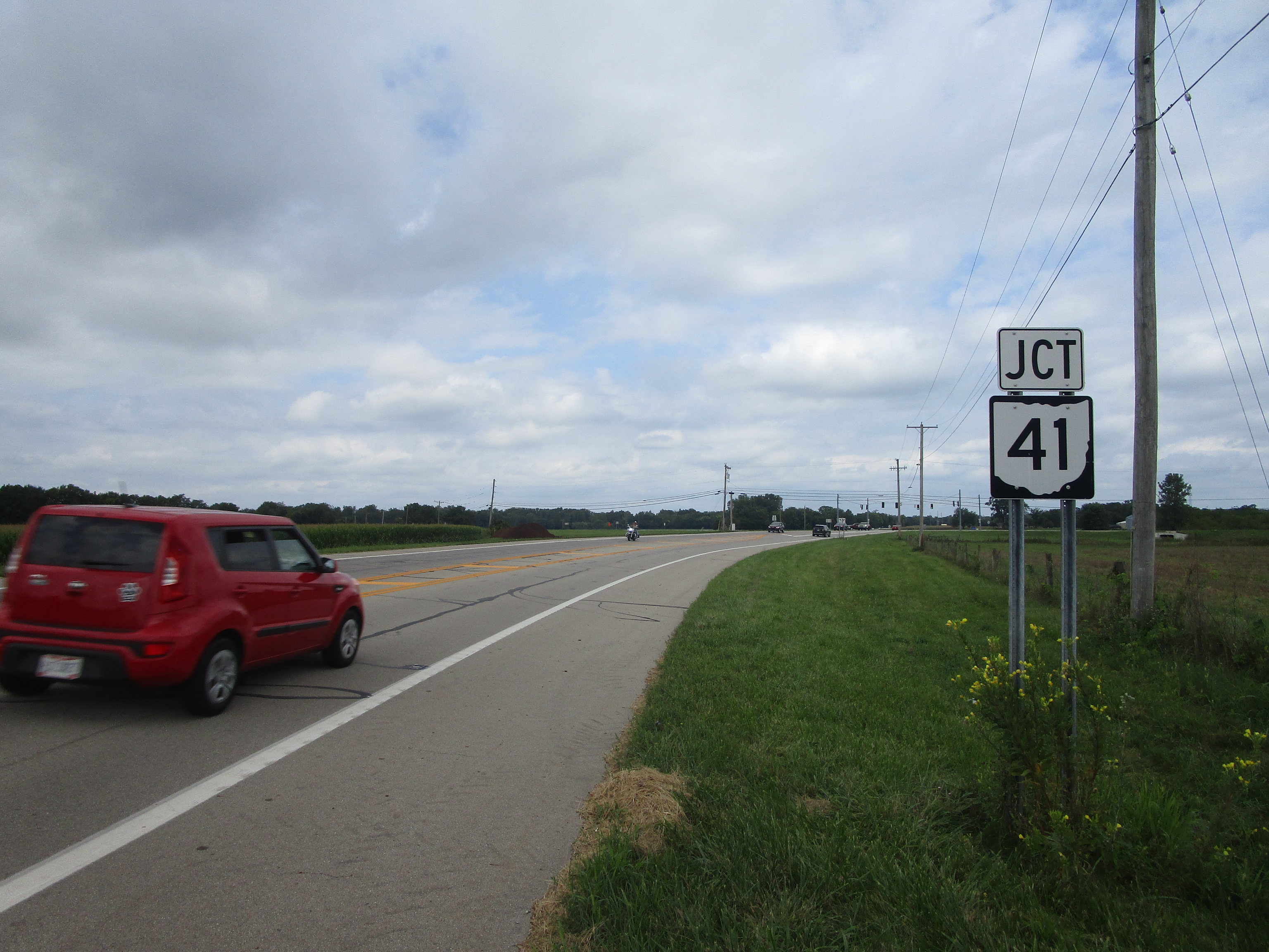
My photo of Ohio State Route 41 signage comes from Ohio Route 202 near Troy. Right after Ohio Route 41 passes southeasterly through downtown Troy, the route bends easterly through a 4-way intersection with Ohio Route 202. This photo looks north on Ohio Route 202 at a junction marker for Ohio Route 41, alerting northbound travelers of the upcoming intersection. This photo was taken in August, 2023 as I was visiting a friend from western Ohio!
Back to Ohio Routes 1 through 99.
Back to the Ohio main page.
Back to the home page.
Back to Ohio Routes 1 through 99.
Back to the Ohio main page.
Back to the home page.

