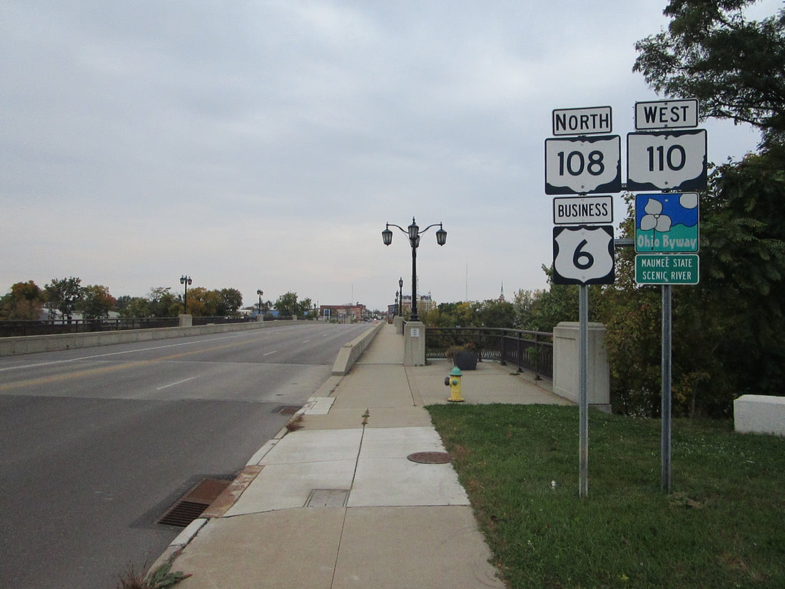
Ohio State Route 110 is a fairly short east-west route in northwestern Ohio that follows the southern bank of the Maumee River. It begins in the center of Napoleon and joins Ohio Route 108 southeast across the Maumee River. As soon as it crosses the bridge, Ohio Route 110 splits from Ohio Route 108 to head east. This highway proceeds about ten miles farther, to end a few miles north of McClure, as another route usurps it as the state route hugging the south side of the Maumee River; that route is Ohio Route 65, which comes from the south and turns east toward Grand Rapids, Ohio.
My photo of Ohio State Route 110 looks northwest at the bridge where it joins Ohio Route 108 over the Maumee River in the town of Napoleon. The set of reassurance markers serves those who just left the junction where Ohio Route 110 joins Ohio Route 108; or, if people are leaving Napoleon, Ohio Route 110 splits from Ohio Route 108. I stood at the junction where Ohio Routes 110 and 108 converge or diverge, looking northwest, when I took this photo. I was on the way home from Ashland and northeast Ohio when I took this photo along the back roads.
Back to Ohio Routes 100-199.
Back to the Ohio main page.
Back to the home page.
Back to Ohio Routes 100-199.
Back to the Ohio main page.
Back to the home page.

