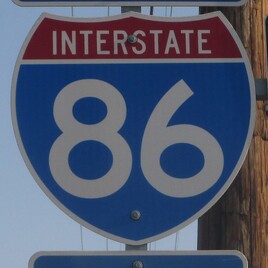
Interstate 86 refers to two different freeway designations in different parts of the United States; the western Interstate 86 is very short for a mainline Interstate, running strictly in eastern Idaho. For the eastern Interstate 86, running across southern New York State, click here. The western Interstate 86 splits from Interstate 84 in a rural spot east of Heyburn and Burley, a twin pair of small towns in south-central Idaho. Interstate 84, having moved easterly through much of the Snake River Valley in Idaho, diverts southeasterly at this spot, leaving Interstate 86 to take over in its place as the freeway continuing through the Snake River Valley. The Snake River, and Interstate 86 by proxy, have a northeastern bend east of here, while Interstate 84 wants to help connect Boise and Portland to points southeast like Salt Lake City. So Interstate 86 is born, heading easterly, northeasterly, and then easterly again to end at Interstate 15 in Pocatello. This iteration of Interstate 86 in Idaho is about 62 miles long. Nearly the entire Interstate designation is concurrent with US Route 30, save for the eastern four miles.
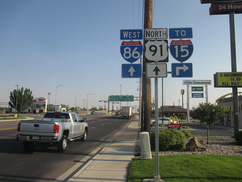
My photo for a route marker identifying the western Interstate 86 comes from Pocatello. The image here shows signs facing south along US Route 91, which meets Interstate 86 at its first interchange west of its eastern end. The aperture, and the traffic reading these signs, are facing north. The signage is posted just south of the southern junction of this diverging diamond interchange. The "To Interstate 15" marker is included here, because the only reason someone would use the eastbound onramp here is because they would want to reach Interstate 15. I took this photo in August 2018, during the return trip of the great trek to the Pacific Ocean.
Back to the nationwide main page.
Back to the home page.
Back to the nationwide main page.
Back to the home page.


