Michigan Highway 149, located in the vicinity of Manistique in the Upper Peninsula, is a spur north from US Route 2 to Palms Book State Park. The north-south highway brings travelers right to the entrance of Palms Book State Park, and the northern end marker sits right where the entrance begins. Palms Book State Park is home to Kitch-iti-Kipi, one of Michigan's most beautiful natural wonders. Kitch-iti-Kipi is one of the largest natural springs in North America, spanning 200 feet in width. Its strikingly blue, clear waters provide a breathtaking view straight down to the floor, forty feet below--not to mention the fallen timbers and the clearly visible trout swimming below. The southern end at US Route 2 is just west of Manistique, in a tiny town called Thompson, Michigan. This whole situation is along the southern edge of the Upper Peninsula, east of Escanaba and the Peninsula's exact middle.
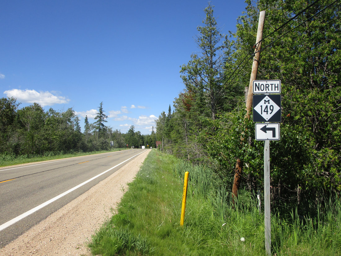
My photo of Michigan Highway 149 comes from the point where the state route joins County Route 442 westward. The southern beginning of Michigan Highway 149 leads north to a T-intersection where the state highway designation joins County Route 442 west for a short concurrency. Soon after, Michigan Highway 149 will turn back to a northerly direction, but this scene in the photo shows the signage indicating the first turn toward the west. The photo here was taken in late July, 2022, as part of the trip to the Keweenaw, Drummond Island, and Alpena.
I have some more photos of Michigan Highway 149 to show you, as I drove the route from end to end at one point:
I have some more photos of Michigan Highway 149 to show you, as I drove the route from end to end at one point:

Michigan 149 heads north away from its junction with US Route 2.

Looking back at the south end of M-149 at US Route 2.

The northern end of Michigan Highway 149 at the entrance to Palms Book State Park.

Looking back at the south end of M-149 at US Route 2.

Looking east at the point where M-149 turns southerly on its final segment toward US Route 2.

