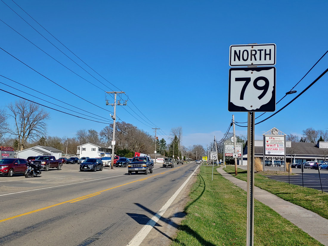
Ohio State Route 79 is a northeast-southwest route in Licking and Coshocton Counties. The northeastern end is at US Route 36 in the small town of Nellie. From there, Ohio Route 79 winds through the wooden hills of Coshocton County until it emerges into Licking County. The route soon finds it way into Newark, where it joins the Ohio Route 16 freeway west for a short spell. Ohio Route 79 soon splits from Ohio Route 16 and heads through the west side of Newark. Next, Ohio Route 79 reaches Hebron, where it has a full interchange with Interstate 70. The last stretch of Ohio Route 79 bends westward just after the interchange, serving the tourist area on the north shore of Buckeye Lake. The final westward piece of the route only lasts three and a half miles before the route ends at Ohio Route 37.
My photo of Ohio State Route 79 looks east at a scene visible to those turning off of Ohio Route 360 near Buckeye Lake. The trailblazer shown says "north", but the drivers reading this sign are heading east on the southernmost piece of Ohio Route 79. Soon, however, Ohio Route 79 will turn north past Interstate 70 and beyond. Ohio Route 360 is a U-shaped route which has both of its ends along the east-west jog taken by Ohio Route 79; this photo looks east from the eastern end of Ohio Route 360. This photo was taken in March 2021 as I was returning home from southeastern Ohio.
Back to Ohio Routes 1 through 99.
Back to the Ohio main page.
Back to the home page.
Back to Ohio Routes 1 through 99.
Back to the Ohio main page.
Back to the home page.

