Ohio State Route 134 is a north-south highway in Clinton and Highland Counties, barely poking south into Brown County. Like Ohio Routes 132 and 133, Ohio Route 134 is a north-south route in southwestern Ohio. It's just east of US Route 68, passing through Wilmington and Lynchburg. The northern end of Ohio Route 134 is at Port William, where it meets no other numbered state highways! The highway runs south out of Port William, crossing Interstate 71 and Ohio Route 73 with no access to either of those routes. In Wilmington, it finally meets its first numbered route, US Route 68, which it joins. On the south side of Wilmington, Ohio Route 134 splits from US Route 68, which it roughly parallels to the east, for the rest of its length. Ohio Route 134 passes through the rural countryside in western Highland County, and it finally ends in Sardinia, at Ohio Route 32.
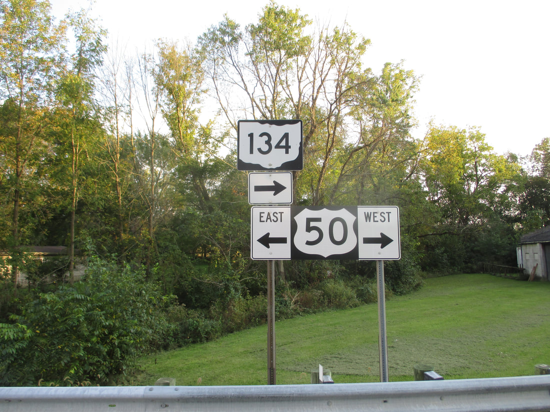
My photo of Ohio State Route 134 comes from a junction east of Fayetteville that involves US Route 50. As Ohio Route 134 heads south, it joins US Route 50 west for a block before turning southerly again. This photo was taken looking south at signage where Ohio Route 134 joins US Route 50 west for that tiny distance. This photo was taken in October 2018, during a drive around southwestern Ohio.
Back to Ohio Routes 100-199.
Back to the Ohio main page.
Back to the home page.
Back to Ohio Routes 100-199.
Back to the Ohio main page.
Back to the home page.
