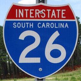
Interstate 26 runs from Charleston, South Carolina, northwest through Columbia, the Upstate, and western North Carolina, to the northeast corner of Tennessee. The route is northwest-southeast in South Carolina, bending into a north-south alignment overall in Tennessee and North Carolina. The southeast end is a fully-directional interchange with US Route 17 in Charleston, South Carolina. From there, Interstate 26 goes northwest to flank the southwest side of Columbia. Interstate 126 provides a spur from Interstate 26 into downtown Columbia. As Interstate 26 enters the Upstate, a fork in the road gives drivers a choice between Interstate 385's path to Greenville, or Interstate 26's more northerly path toward Spartanburg and beyond. From here, Interstate 26's path is more northerly, passing Hendersonville and Asheville in North Carolina. Interstate 26 reaches the Tri-Cities of northeast Tennessee during its final stretch, passing through Johnson City and an interchange with Interstate 81 before ending in Kingsport. The exact northern end is at the interchange with US Route 11W in Kingsport, where the highway continues north as US Route 23. (For context, US Route 23 has been concurrent with Interstate 26 since Asheville.) The endpoints of Interstate 26 have a greater difference in latitude than their difference in longitude, leading some to think it should be considered a north-south route deserving of an odd number (I am not one of those people).
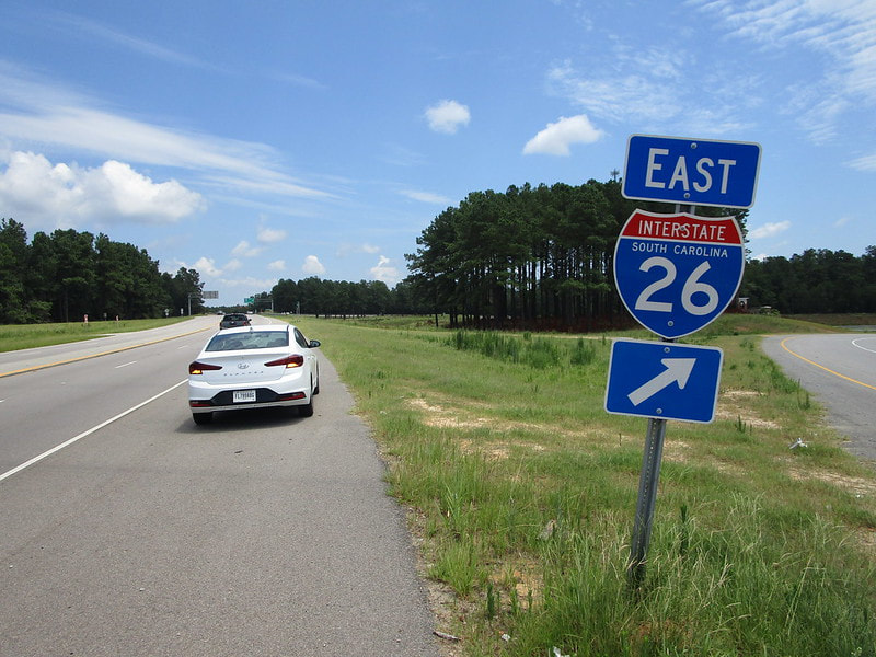
My photo showing an Interstate 26 marker comes from an interchange on the northside of Orangeburg, South Carolina, connecting to US Route 601. The route marker depicted shows travelers on US Route 601's northbound side where to find the ramp to Interstate 26 eastbound. This photo came from the day-long detour around South Carolina in July 2019.
Back to the nationwide main page.
Back to the home page.
Back to the nationwide main page.
Back to the home page.


