Ohio State Route 72 is a north-south highway that somehow suspended itself between central, west-central, southwestern, and south-central Ohio (I can't decide which of these descriptors best describes the vicinity of this route!). The northern end of Ohio Route 72 is at Ohio Route 334 on the north side of Springfield, Ohio; US Route 68 is on the other side of a railroad overpass to the west. Ohio Route 72 then skewers right through downtown Springfield and continues south. The southern end of Ohio Route 72 is at US Route 62, where traffic merges with southbound traffic on US Route 62 bound for Hillsboro, which isn't much farther down the road.
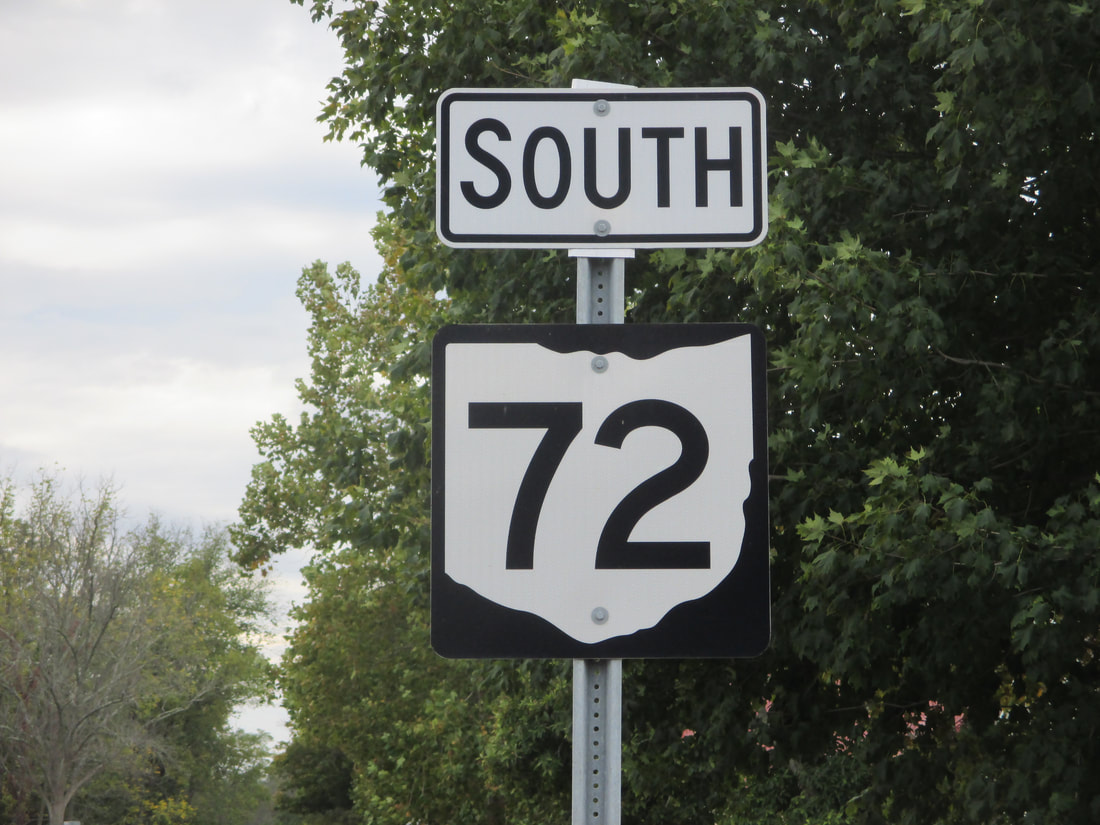
My photo of Ohio State Route 72 shows a closeup of a southbound trailblazer, in the small town of Clifton. This sign reassures drivers leaving the intersection with Ohio Route 343, which is several miles south of Interstate 70 and the town of Springfield. This photo was taken in October 2015, during the first leg of a trip to New England of all places (via Columbus).
Back to Ohio Routes 1 through 99.
Back to the Ohio main page.
Back to the home page.
Back to Ohio Routes 1 through 99.
Back to the Ohio main page.
Back to the home page.
