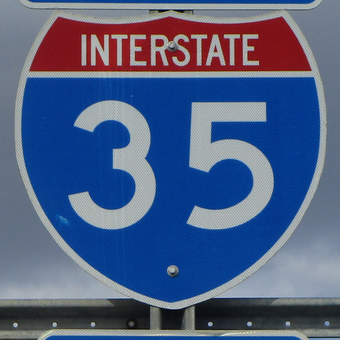
Interstate 35 is the premier north-south highway corridor through the central states of the Great Plains. Its northern end is in Duluth, Minnesota, where the highway continues north as a non-freeway labeled "Minnesota Highway 61". Once Interstate 35 gets its start in Duluth, it runs south through the Twin Cities area, where the highway forks into Interstate 35W and Interstate 35E. Interstate 35W runs through Minneapolis, and Interstate 35E runs through Saint Paul. Interstate 35 heads onward into Iowa, where it forms a central backbone for the state and serves the capital city of Des Moines. The next state entered by Interstate 35 is Missouri; the Interstate 35 corridor in Missouri divides the northwestern corner from the rest of the state. Interstate 35 passes through the heart of Kansas City as it enters Kansas, where the highway bends southwesterly to Wichita. At Wichita, Kansas, Interstate 35 turns to proceed due south again, into Oklahoma. Interstate 35 forms a central north-south backbone for Oklahoma, skewering right through the state capital, just like it did for Iowa. In Texas, Interstate 35 splits again into two separate freeways: Interstate 35E, serving Dallas, and Interstate 35W for Fort Worth. The freeways converge into a unified Interstate 35 once again, but the highway bends a bit southwesterly through Waco and Austin to San Antonio. The last stretch of Interstate 35 continues southwesterly from San Antonio to Laredo, Texas. The southern end of Interstate 35 spills out into downtown Laredo, near the Mexican border crossing there.
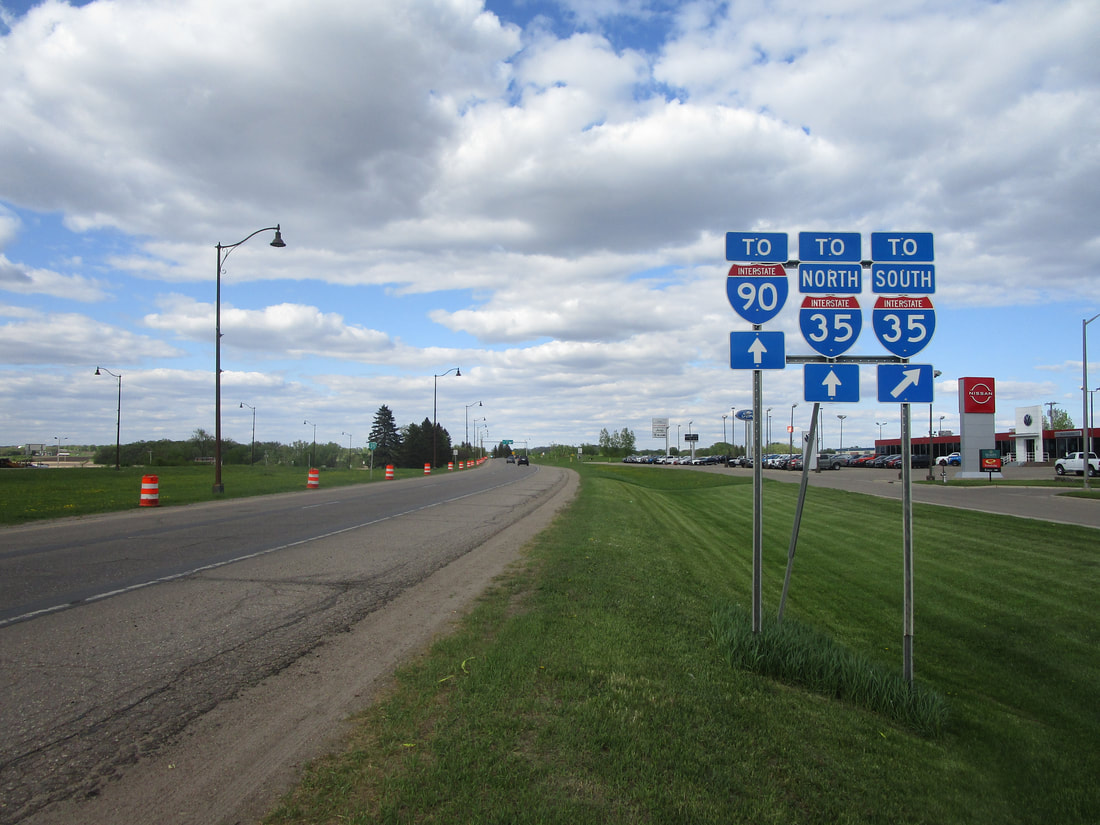
My photo of Interstate 35 signage comes from the northern end of US Route 65 in Albert Lea, Minnesota. As the true northeastern end of the US Route 65 designation continues ahead onto a partial split interchange with Interstate 35, the signage here indicates to travelers that access to Interstate 35's southern leg is granted via a turn to the right. This photo was taken in May 2022, during a trip focused on northern Iowa with slight forays into extreme southern Minnesota.
Back to the nationwide main page.
Back to the home page.
Back to the nationwide main page.
Back to the home page.


