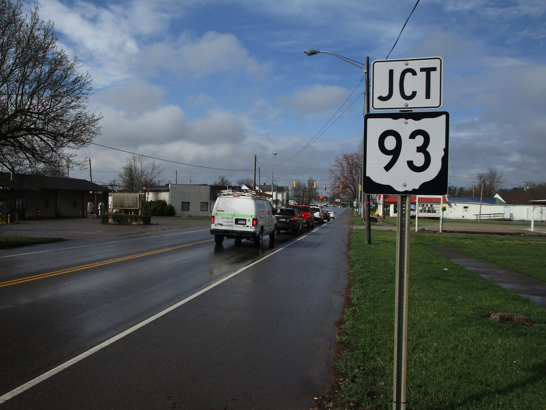
Ohio State Route 93 is one of the longest state highways in Ohio, stretching from Akron to Ironton, in the southernmost lobe of the state. The northern end is on the west side of Akron, at Ohio Route 261. From there, Ohio Route 93 heads south through suburban areas and rural areas on the western edge of the Canton area. As Ohio Route 93 enters Tuscarawas County, it gains a south-southwesterly angle. It passes through Coshocton County, where it crosses US Route 36 near West Lafayette, Ohio. As it enters Muskingum County, Ohio Route 93 cuts southwesterly through Zanesville. Then, it enters Perry County, where it passes through Roseville and Crooksville. It cuts westerly to New Lexington, then it cuts westerly again to Logan. Here, Ohio Route 93's southerly continuation is central to Hocking and Vinton Counties. It serves McArthur and Wellston, where it juts westerly once again. It turns southerly through Jackson and into Lawrence County. At Ironton, a town on the Ohio River, Ohio Route 93 ends at US Route 52.
My photo of Ohio State Route 93 comes from Wellston, where Ohio Route 327 meets its northern end. This is in northeastern Jackson County. The junction marker shown faces the northbound travelers on Ohio Route 327, to help them anticipate the upcoming junction with Ohio Route 93. Of course, those people on Ohio Route 327 will have no choice but to leave the intersection on Ohio Route 93, whether they turn left or go straight. This photo was taken during the March, 2021, tour around southeastern Ohio.
Back to Ohio Routes 1-99.
Back to the Ohio main page.
Back to the home page.
Back to Ohio Routes 1-99.
Back to the Ohio main page.
Back to the home page.

