US Route 2 in Michigan is the southerly of the two east-west highways traversing nearly the whole width of the Upper Peninsula. This US Route enters the western tip of the Upper Peninsula, crossing from Hurley, Wisconsin, into Ironwood, Michigan. Soon, it passes through Bessemer and Wakefield, where Michigan Highway 28 splits off to take the northerly path across the width of the Upper Peninsula. From here onward, US Route 2 hugs the southern edge of the land of the Yoopers, except for the sharp panhandle down to Menomonie. US Route 2 passes through Iron River, and then turns south at Crystal Falls. South of Crystal Falls, US Route 2 dips into Wisconsin for a short distance before crossing back into Michigan near Iron Mountain. US Route 2 passes through Powers and Escanaba, where it begins following the southern edge of the Upper Peninsula comprised by Lake Michigan's northern shore. US Route 2 stays largely rural during this long, but final stretch along the northern edge of Lake Michigan. The eastern end of US Route 2 occurs at Interstate 75 in St. Ignace, very near the northern approach to the Mackinac Bridge.
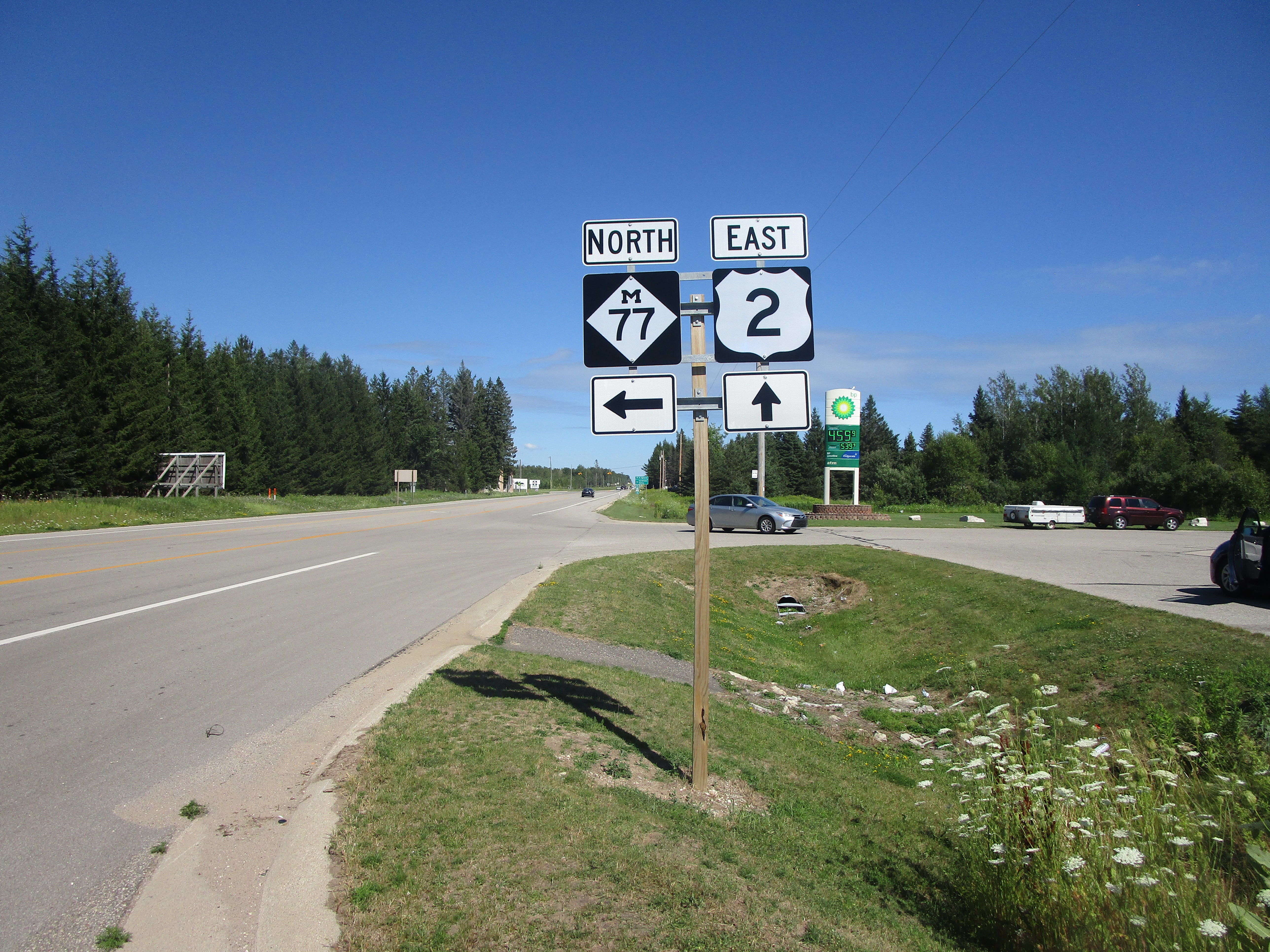
My photo of US Route 2 in Michigan comes from US Route 2's junction with the southern end of Michigan Highway 77. This junction is about twenty miles east of Manistique, in Mueller Township. Generally speaking, the location of this junction is midway across the eastern half of the Upper Peninsula, very near the southern edge of the landmass. The guide assembly from that junction that's shown in this photo was established for eastbound travelers on US Route 2 looking for the turn onto Michigan Highway 77. This photo was taken at the end of July 2022, during a trip to the Keweenaw, Drummond Island, and Alpena.
Back to the Michigan main page.
Back to the home page.
Back to the Michigan main page.
Back to the home page.

