Ohio State Route 29 logs just over 100 miles as it treks from the Indiana border through Celina to West Jefferson, a town about 13 miles west of Columbus. Though its first (westernmost) section runs due east-west, Ohio Route 29's overall pathing is northwest-southeast. The beginning of this route occurs as Indiana State Route 67 reaches the Ohio border. Ohio Route 29 goes straight eastward through Celina, diverting toward the southeast at St. Marys, Ohio. Sidney, Urbana, and Mechanicsburg are graced by Ohio Route 29's presence, before the route ends at US Route 40 in West Jefferson.
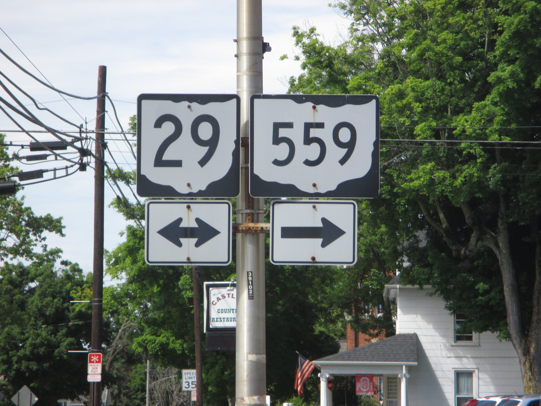
My photo of Ohio State Route 29 signage comes from its 4-way intersection with Ohio Route 4 in Mechanicsburg. As Ohio Route 4 heads southwest, Ohio Route 29 southeast. The diagonal 4-way intersection has the signage depicted facing northeast at southwesterly traffic on Ohio Route 4. Note that Ohio Route 559 also begins at this intersection, and it starts out by heading northwesterly on Ohio Route 29 for a short distance. This photo was taken on the way home from Columbus in June, 2016.
Back to Ohio Routes 1 through 99.
Back to the Ohio main page.
Back to the home page.
Back to Ohio Routes 1 through 99.
Back to the Ohio main page.
Back to the home page.
