^Looking east near the Meyers Road Toll Plaza, near Lombard and Oak Brook, December 2021.
Interstate 88 is an east-west Interstate across northern Illinois, running in areas west of Chicago but north of Interstate 80. The eastern end is short of Chicago, on the western edge of Cook County, and the western end is just shy of the Quad Cities; this means Interstate 88 never leaves the state of Illinois (though there is another, separate Interstate numbered "88" in New York). Interstate 88 is mostly a tollway, charging tolls from Rock Falls east to its eastern end near Hillside, Illinois. It connects the Quad Cities to Chicago via Rock Falls, Rochelle, DeKalb, and Aurora. It's used as a commuter route in the western suburbs, widening to a 6-lane highway, then an 8-lane highway before meeting its end at Interstates 290 and 294, at a notorious interchange called the "Hillside Strangler".
Exits on this page will be listed in increasing order from west to east, in accordance with the national standard for numbering miles and exits.
The western end of Interstate 88 is at a north-south section of Interstate 80 flanking the east side of the Quad Cities. The first exit at the cloverleaf marking this terminus is exit 1A, leading to Interstate 80 south toward Interstate 74, which links to Peoria. Note that Illinois 5 begins as Interstate 88, continuing west on the same alignment as Interstate 88, and Illinois 92 additionally occupies the alignment on the east and west sides of Interstate 80...
Exit 1B, the second ramp at this cloverleaf, takes drivers to Interstate 80 north and west toward Des Moines...
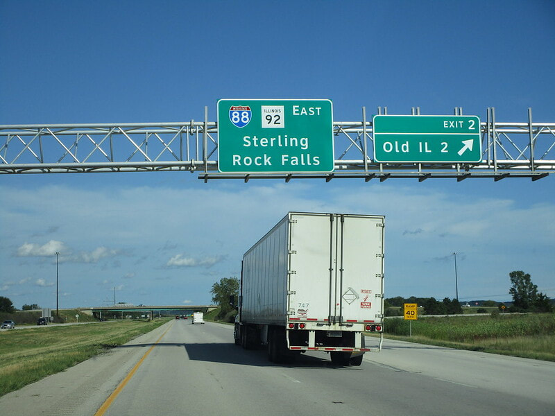
Exit 2, along Interstate 88's eastward beginning concurrent with Illinois 92, is for an old alignment of Illinois 2:
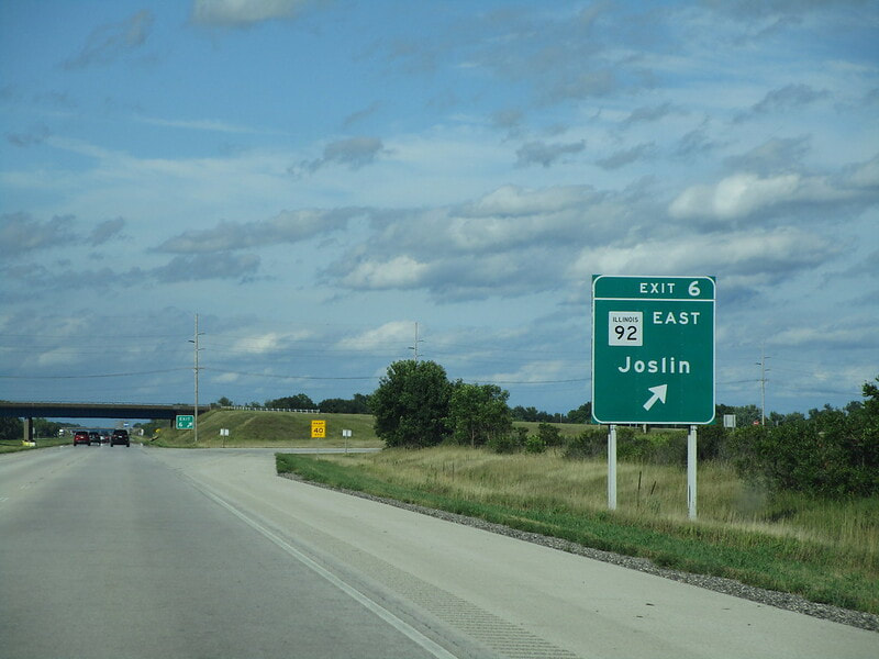
Exit 6 is the site of split of Illinois 92 away from Interstate 88, linking to Illinois 92's eastern continuation, and the town of Joslin:
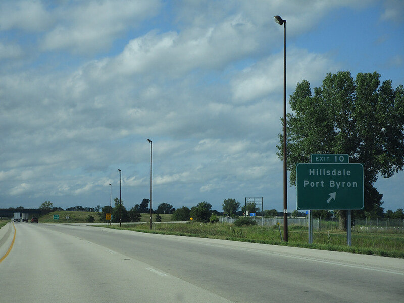
Exit 10 is for a local road (also a former portion of Illinois 2) leading to Hillsdale and Port Byron:
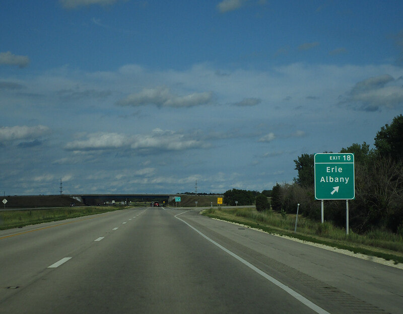
Exit 18 is to a local road reaching Erie and Albany:
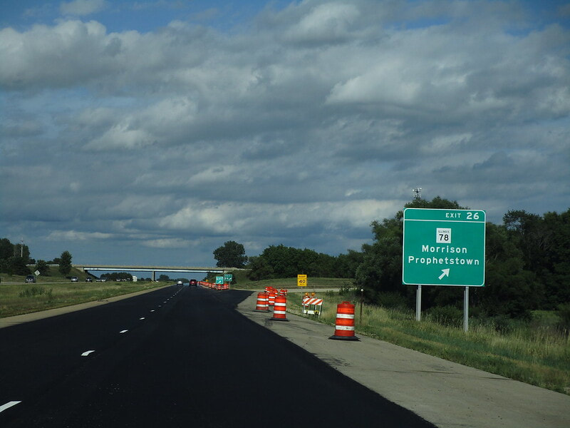
Exit 26 is for Illinois 78, which provides access to Morrison and Prophetstown:
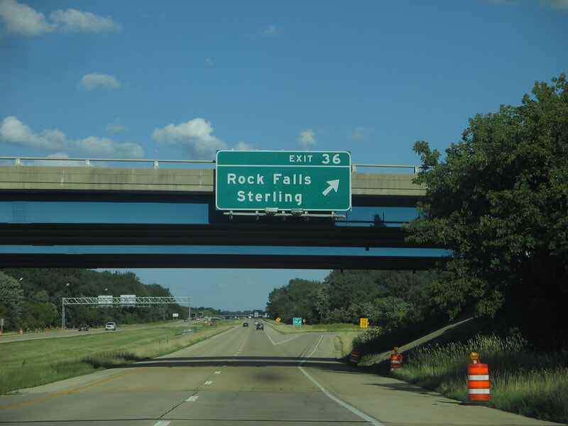
Exit 36 is a trumpet spur to a piece of US Route 30 west of Sterling-Rock Falls:
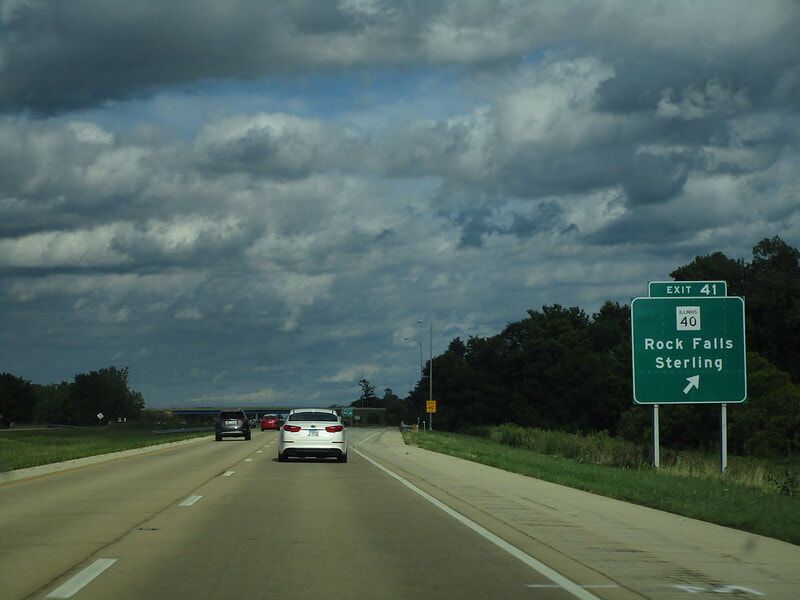
Exit 41 is for Illinois 40, which connects with Rock Falls and Sterling:
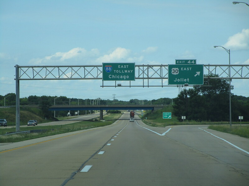
Exit 44 is for US Route 30, inexplicably signed as a way to Joliet, which is clear on the other side of the state. This is the interchange where Interstate 88 becomes a tollway for the rest of its length. East of here, it's a tollway, west of here, it's a freeway:
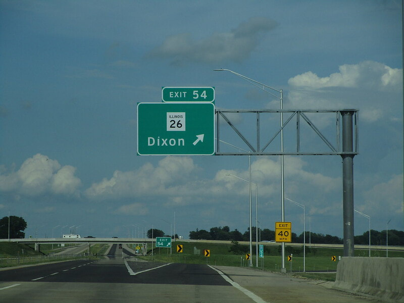
Exit 54 is a trumpet spur to Illinois 26 in Dixon:
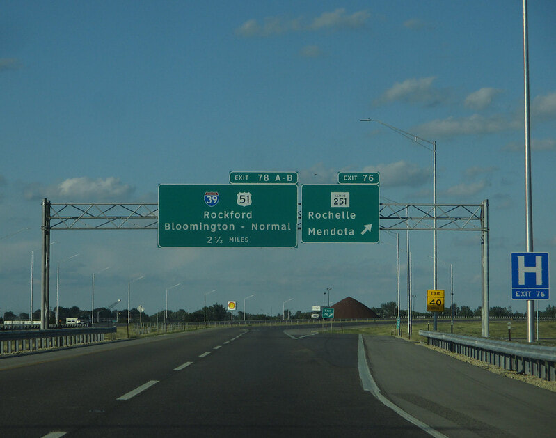
Exit 76, 22 miles past the previous exit, is next, leading to Illinois 251, signed as the way to Rochelle or Mendota:
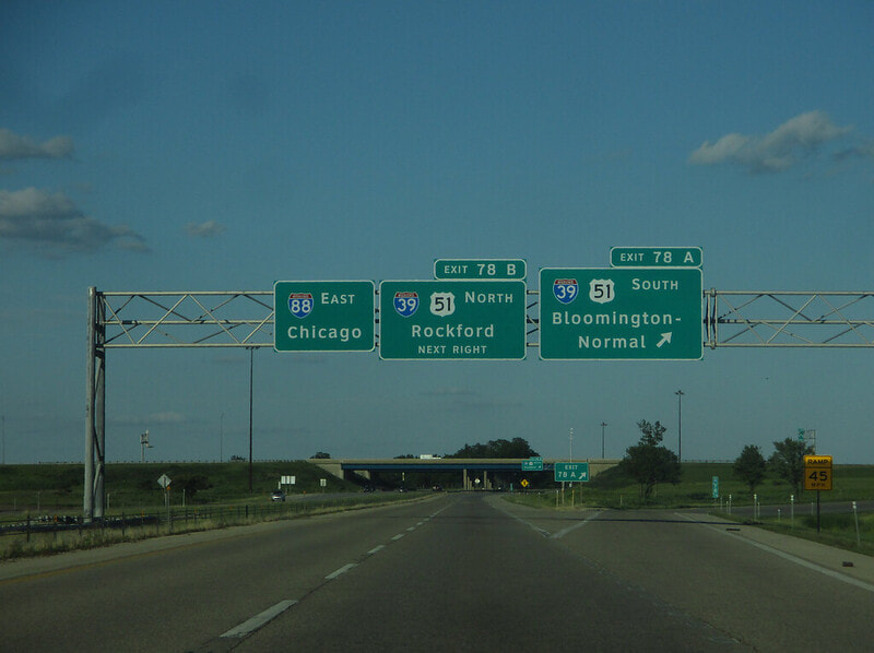
Exit 78A is for Interstate 39 and US Route 51 south, toward Bloomington-Normal; this is the first of two ramps at a cloverleaf:
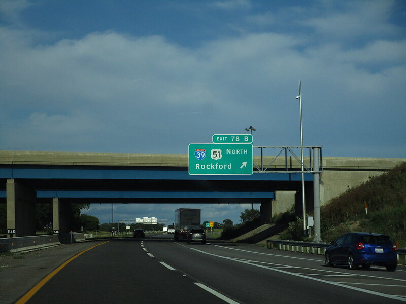
Exit 78B is for Interstate 39 and US Route 51 north, toward Rockford:
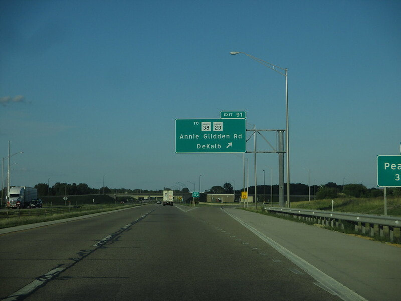
Exit 91 is the first of two DeKalb exits, leading to Annie Glidden Road:
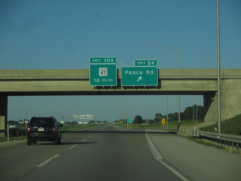
Exit 94 is a fountain interchange for Peace Road in DeKalb:
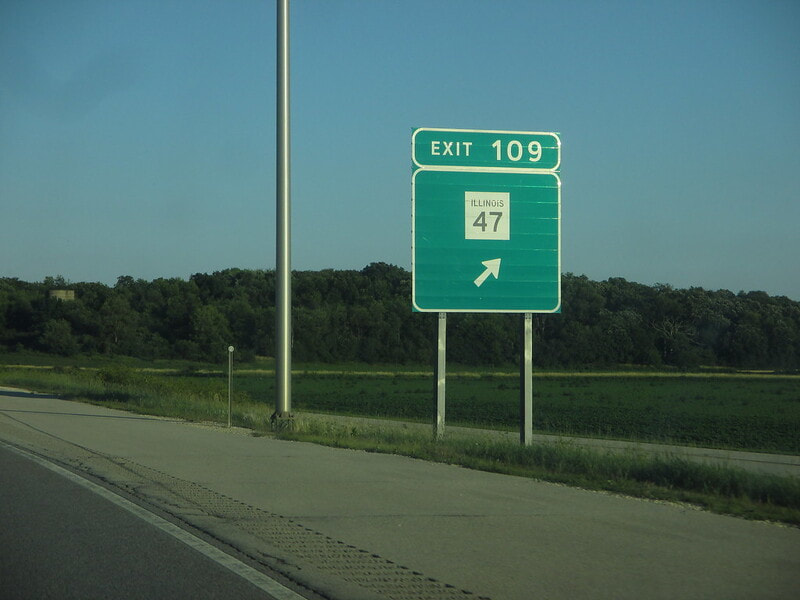
Exit 109 is a full interchange to Illinois 47, at a location that was once only a partial interchange:
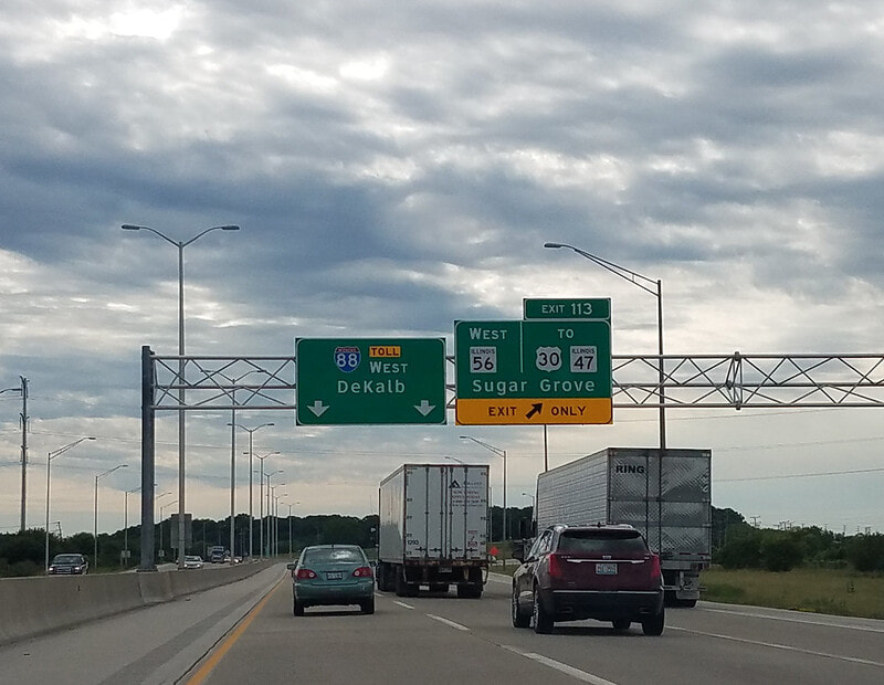
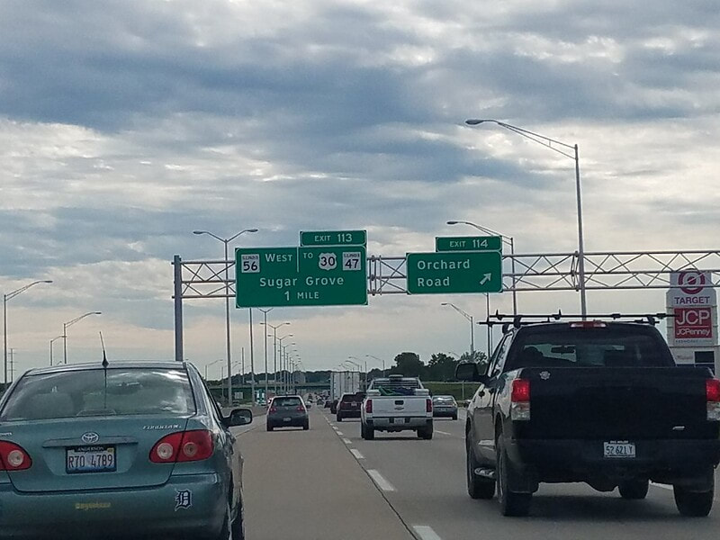
Exit 113 is a partial interchange, where Illinois 56 comes from the southwest to join Interstate 88 east; westbound Interstate 88 splits with Illinois 56, sending that route toward US Route 30 and Sugar Grove:
Exit 114 is a fountain interchange to Orchard Road, a county highway in Aurora:
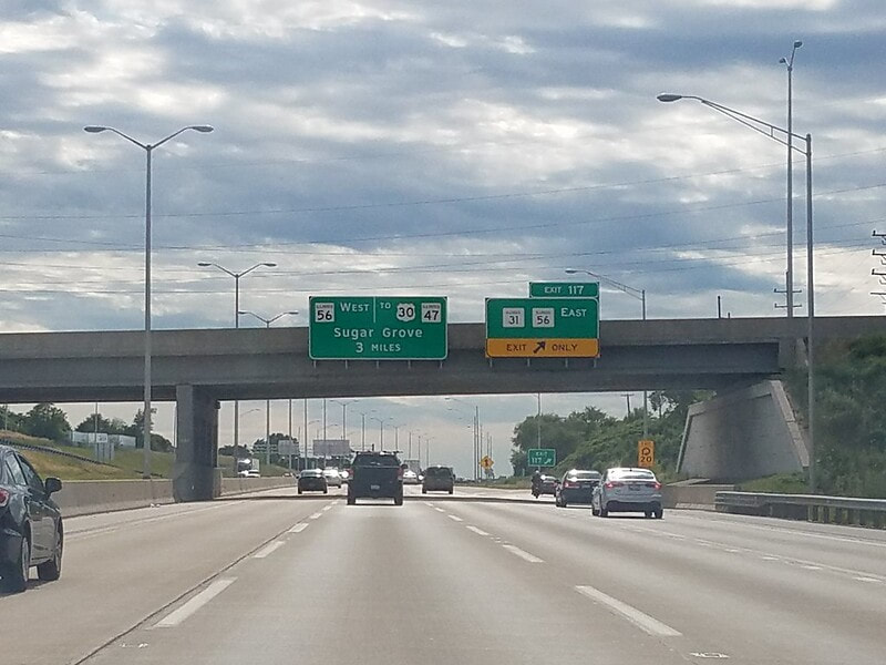
Exit 117, is a trumpet spur to Illinois 31, which also carries Illinois 56 away to a separate alignment that continues east, ending the concurrency. This is the exit used for accessing downtown Aurora:
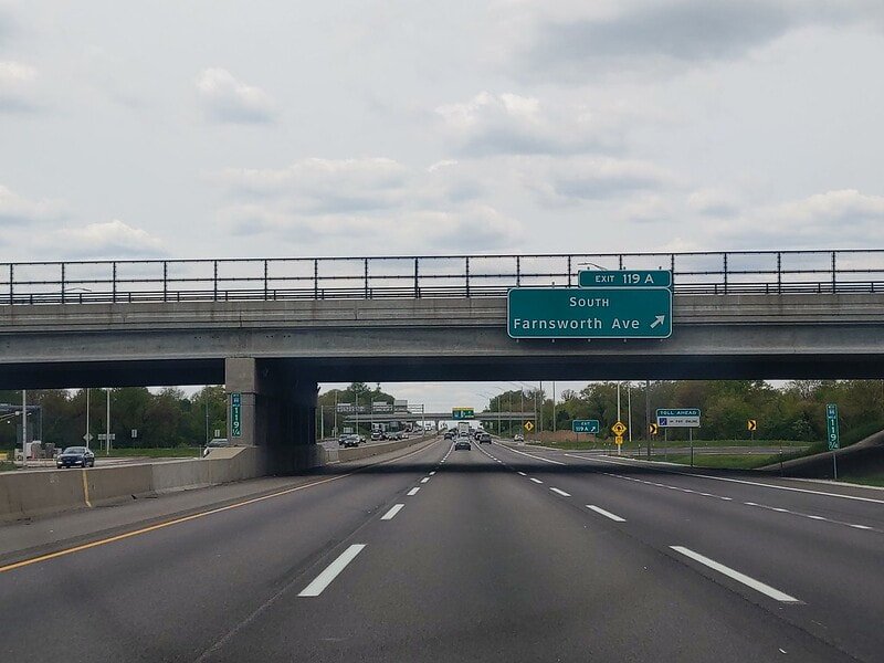
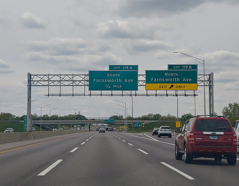
Exit 119 for Farnsworth Avenue is split into two directional ramps labeled A and B from westbound, but there's a single exit 119 for eastbound Interstate 88. That's because this partial-cloverleaf interchange has directional ramps to/from the east on Interstate 88, but only ramps that meet at intersections going to/from the west. Exit 119A is to southbound Farnsworth Avenue:
Exit 119B is to northbound Farnsworth Avenue, which soon turns into Kirk Road:
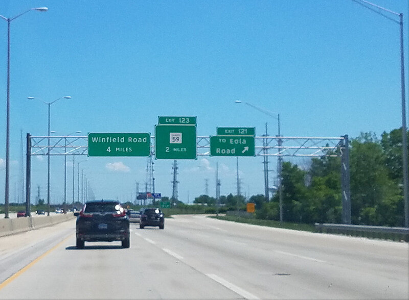
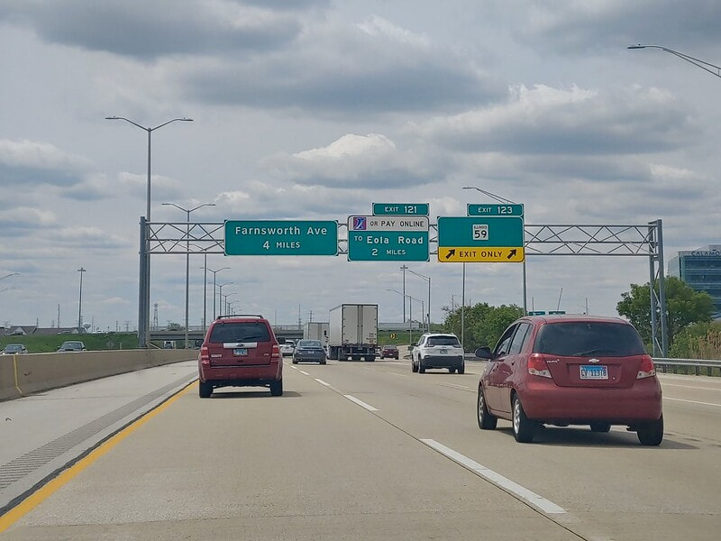
Exit 121 leads to Eola Road:
Exit 123 is for Illinois 59, where Aurora becomes Naperville:
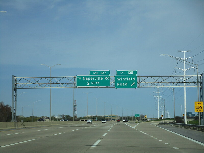
Exit 125 is for Winfield Road, a county highway that ends just to the south (so go north):
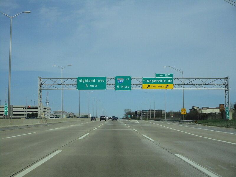
Exit 127 leads to an access road connecting to Naperville Road:
Exit 130 is for Illinois 53, but only gives access to/from the east on Interstate 88...
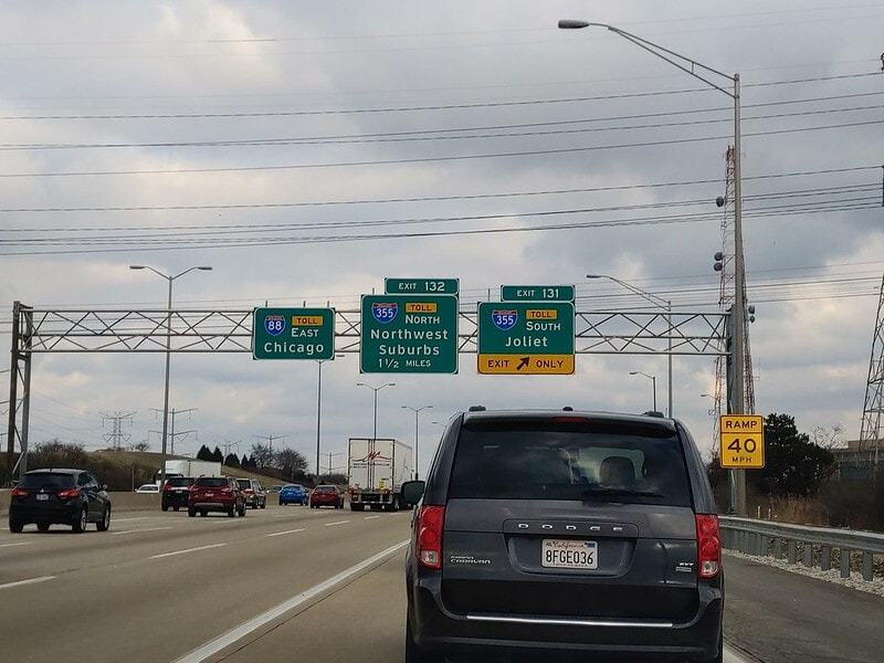
Exit 131 is the first of two exits to Interstate 355; this ramp leads to Interstate 355 south toward Joliet, with a split to another ramp for US Route 34/Ogden Avenue:
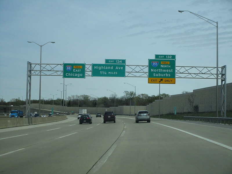
Exit 132 leads to Interstate 355 north, toward the "Northwest Suburbs":
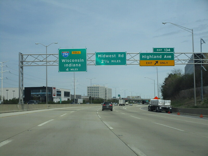
Exit 134 is for Highland Avenue, where Downers Grove meets Lombard:
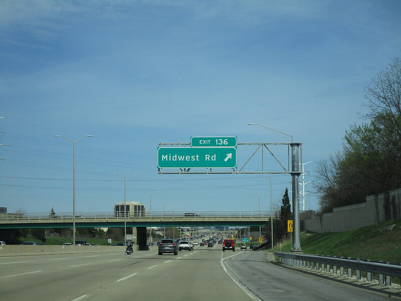
Exit 136 only has an eastbound offramp and an eastbound onramp, and it leads to Midwest Road:
Exit 137 only links to/from the east, but it leads to Illinois 83 southbound...
Exit 138 only has a westbound onramp and a westbound offramp, linking to 22nd Street and Illinois 83 northbound...
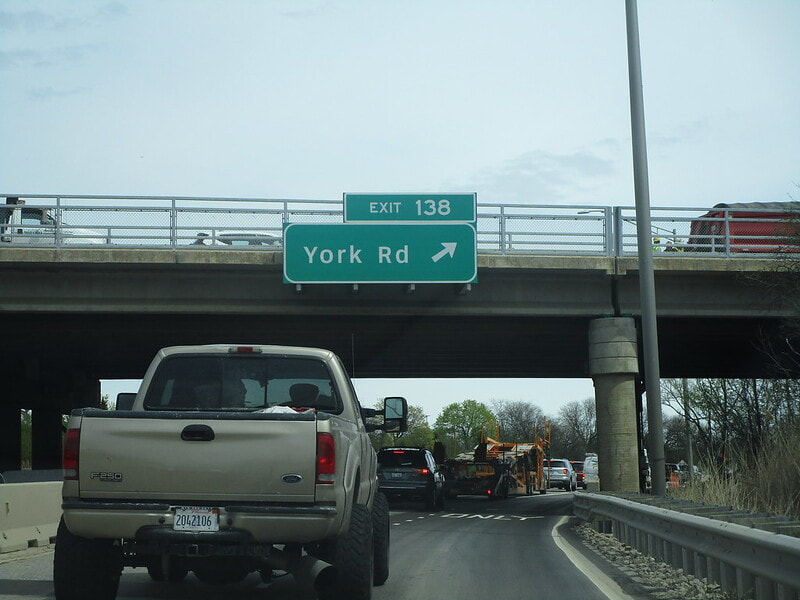
Interstate 88 somehow has another exit 138, linking to/from the west, to York Road; the ramps link to the access road between Interstate 88 and the southern leg of Interstate 294:
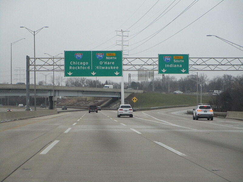
An unnumbered exit ramp leads to Interstate 294 south, toward Indiana:
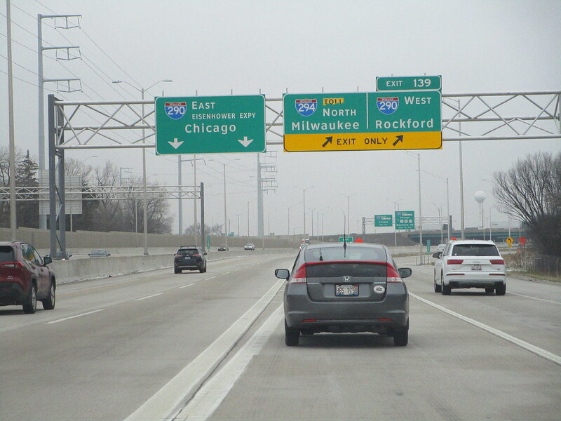
A ramp splits to the left to Interstate 290 toward Chicago, as the ramps to Interstate 294 north and Interstate 290 west divert to the right. This interchange is known as the notorious "Hillside Strangler," as four eastbound lanes of traffic on Interstate 88 heading into the city are eventually reduced to one. The primary movement for traffic on Interstate 88 as it ends is to continue along the same azimuth east onto Interstate 290 into downtown Chicago, but the ramp between the two expressways is two lanes, then only one as it passes under Mannheim Road. This creates a disastrous bottleneck notorious for spawning traffic jams.
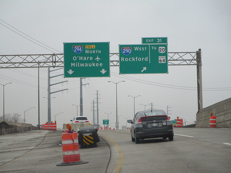
The last ramp generated by Interstate 88 eastbound as it ends is the split between the ramp to Interstate 294 north toward Wisconsin, and the ramp to Interstate 290 west toward Rockford. Interstate 88 ends here at the Hillside Strangler.
