Michigan Highway 52 is a north-south highway in central and southern Michigan, running a bit east of the central axis of lower Michigan. The northern end is at Michigan Highway 46 near Shields, west of Saginaw. Michigan Highway 52 serves a litany of small towns heading south to the Ohio border, like St. Charles, Oakley, Owosso, Perry, Webberville, Stockbridge, Chelsea, Manchester, and Adrian. It stays east of Lansing, but west of Flint; it stays east of Jackson, but west of Ann Arbor. The southern end of Michigan Highway 52 is the Ohio border near Lyons, Ohio, where the roadway becomes Ohio Route 109.
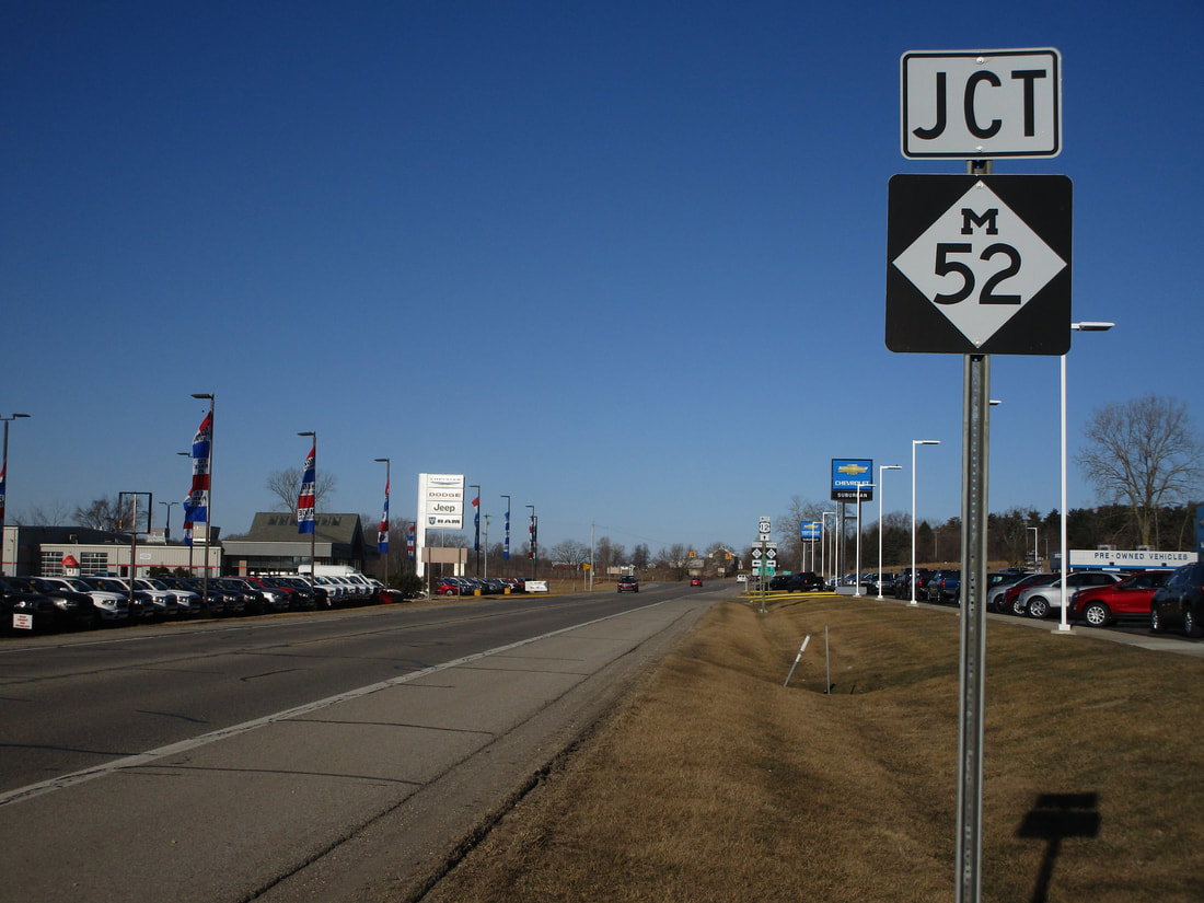
My photo for Michigan Highway 52's signage comes from the state highway's 4-way intersection with US Route 12. Just west of Clinton, Michigan, the intersection is announced by this junction marker for westbound travelers on US Route 12. If you look down the road into the background of this photo, you can see the junction between the two routes, as viewed from the east. This photo was taken in March 2019, as I was driving around central and southern Michigan.
Here are a few more photos along Michigan Highway 52:
Here are a few more photos along Michigan Highway 52:

The intersection where Michigan Highway 52 crosses Michigan Highway 52. Southbound travelers will see this sign assembly after passing through the village of St. Charles.

Michigan Highway 52 crosses Michigan Highway 21 in Owosso. This photo looks south toward the intersection.

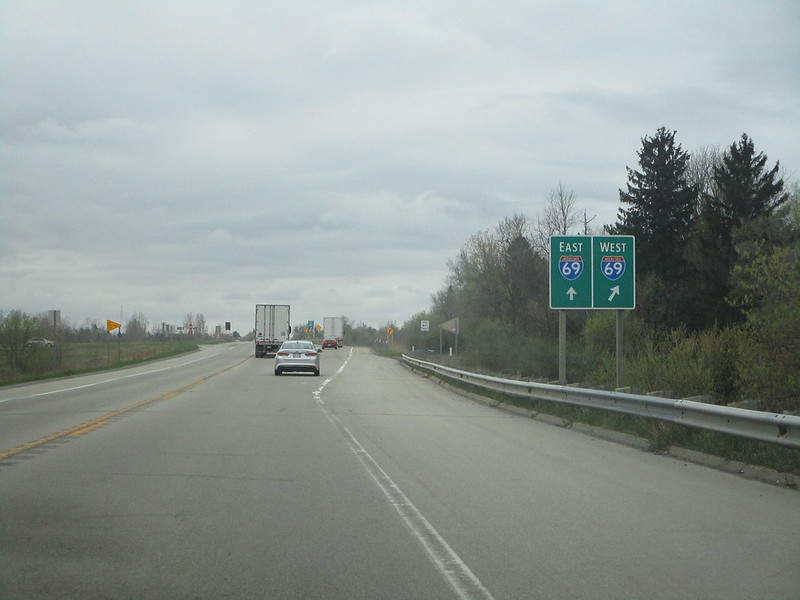
Michigan Highway 52 approaching itsinterchange with Interstate 69, near Perry.

Michigan Highway 52 continues south, splitting with Michigan Highway 34 in Adrian.

