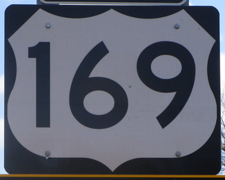
US Route 169 runs from the Minneapolis area to the Tulsa area, staying just a little bit west of its parent route, US Route 69. It starts as a freeway and ends as a freeway, but very little of it is freeway in the broad scheme of things. US Route 169 starts as a freeway born from an interchange with the US Route 10 freeway. US Route 169 runs south from Anoka, Minnesota, through western portions of the Twin Cities area as a freeway. As it leaves the Twin Cities area, it gets a slight downgrade to a four-lane high-speed highway to Mankato. Beyond Mankato, US Route 169 reduces to a simple rural highway, as it doesn't serve any large cities beyond this point other than Kansas City and Tulsa. In Iowa, it parallels US Route 69 and Interstate 35 to the west, passing through Fort Dodge and Winterset rather than, say, Ames or Des Moines. In Missouri, US Route 169 drastically bows out to the west to serve St. Joseph before bowing back east. (Missouri 31 seems like a more direct bypass alternative, somehow.) Next, US Route 169 passes through Kansas City, where it finally links up with its parent route, US Route 69. But US Route 169 isn't done yet! It crosses west into Kansas and cuts south-southwesterly through various towns in southeastern Kansas, like Chanute and Coffeyville. South of Coffeyville, US Route 169 crosses into its final state of Oklahoma. It enters the Tulsa area becoming a full freeway, serving Owosso and eastern neighborhoods of Tulsa. The southern end is an interchange with another US Route using a freeway to get across Tulsa: US Route 64.
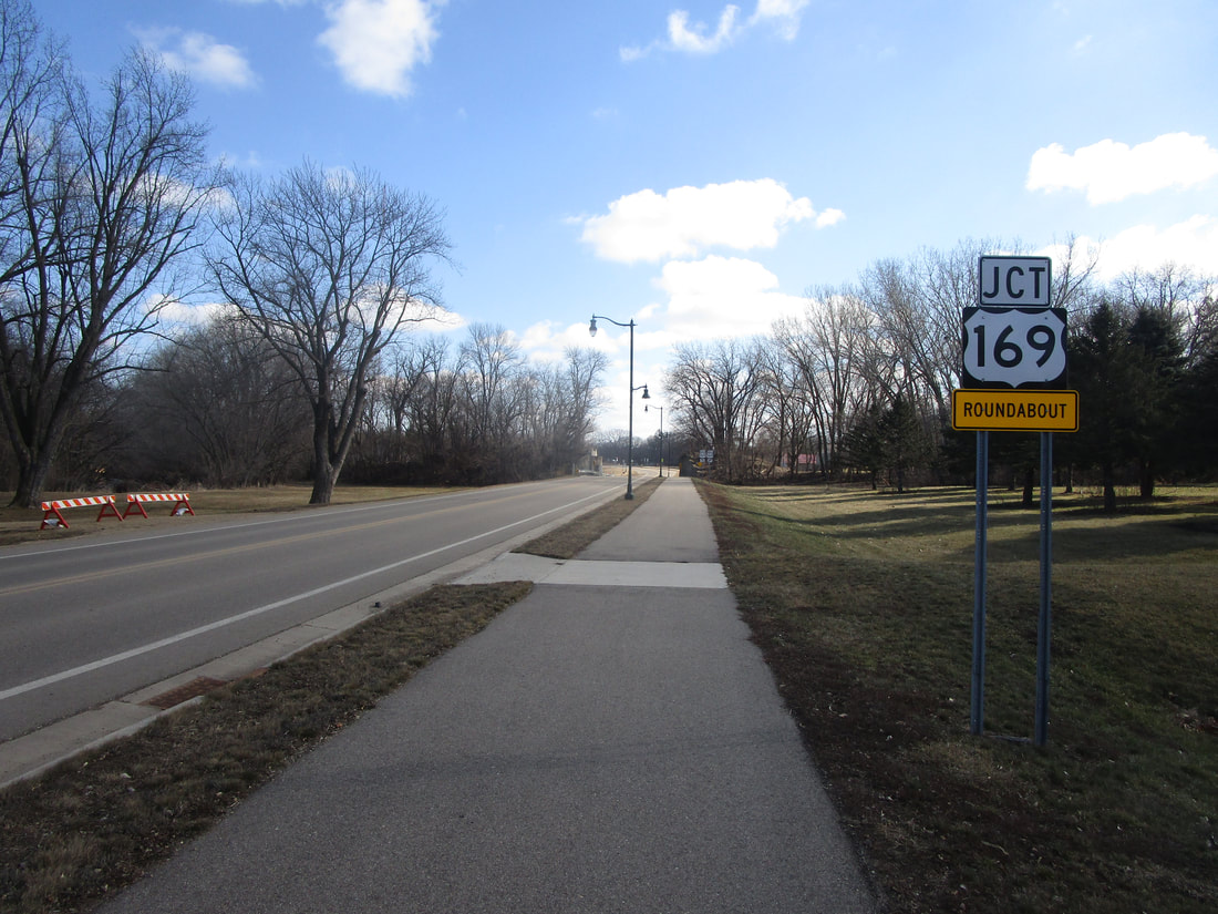
My photo for US Route 169 comes from a county road in Blue Earth, Minnesota. This county road runs parallel to, and just south of, Interstate 90. I'm not sure if the yellow "roundabout" tab is proper, but it helps this junction marker in making people aware that the junction with US Route 169 up ahead is a roundabout! The aperture, and those driving down the roadway making use of this signage, is facing east. This photo was taken in February 2024 as I was circling around the state of Iowa to clinch its Interstates.
Back to the nationwide main page.
Back to the home page.
Back to the nationwide main page.
Back to the home page.


