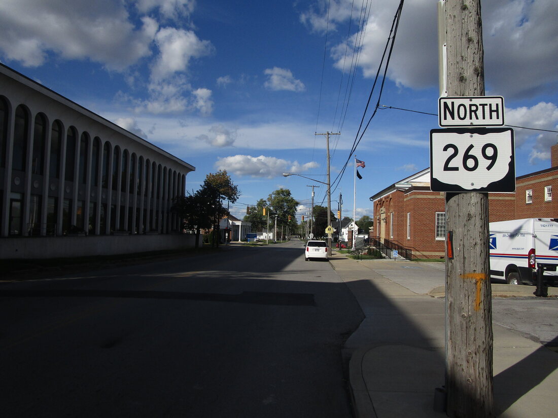
Ohio State Route 269 runs north-south in north-central Ohio. It even crosses onto the Marblehead Peninsula, crossing Sandusky Bay. The northern tip of the route dead ends into East Harbor State Park, on the north shore of the Marblehead Peninsula. From this Lake Erie destination, Ohio Route 269 runs south to join Ohio Route 2 on a highway bridge across Sandusky Bay. As the bridge deposits traffic back onto land, Ohio Route 269 splits from the eastward Ohio Route 2, so it can continue south. It passes through Castalia and Bellevue. From Bellevue onward, Ohio Route 269 straddles the Seneca-Huron County line. After following the county line for about five miles, Ohio Route 269 ends at Ohio Route 4. Ohio Route 4 continues south-southwesterly, carrying travelers further, to Attica, Bucyrus, and beyond.
My photo for Ohio State Route 269 shows a northbound trailblazer in Bellevue, seen by those leaving the intersection with Ohio Route 18 and US Route 20. This intersection, featuring the concurrency of Ohio Route 18 and US Route 20, is central to the town of Bellevue. Those turning away from the intersection toward the north will see the scene shown above. This photo was taken in October 2023, as I was finishing my routesnapping coverage of Ohio in the north-central parts of the state.
Back to Ohio Routes 200-299.
Back to the Ohio main page.
Back to the home page.
Back to Ohio Routes 200-299.
Back to the Ohio main page.
Back to the home page.

