Ohio State Route 775 is a north-south route, winding through the hills on the southernmost lobe of Ohio. The highway is found in eastern Lawrence County and southern Gallia County. The northern end is at Ohio Route 141 about six miles west of Gallipolis. From there, Ohio Route 775 heads southerly, with a bit of a westerly component. It bounces off of Ohio Route 141, the highway where it originated, at a ricochet junction later on. After about thirty miles, Ohio Route 775 meets Ohio Route 7 near the Ohio River near Proctorville. But Ohio Route 775 isn't done yet. It jogs west on Ohio Route 7 for a short distance before departing Ohio Route 7 for a bridge over the Ohio River. Ohio Route 775 ends as it becomes West Virginia Highway 106, crossing the Ohio River into Huntington, West Virginia.
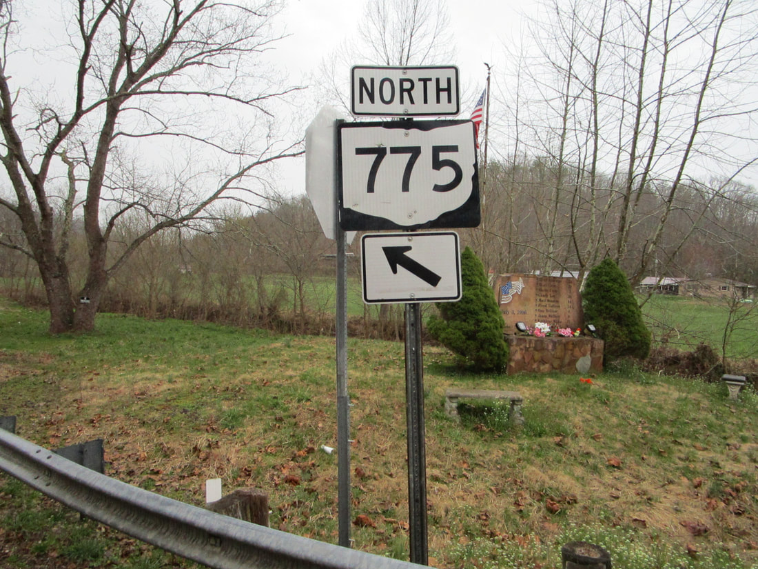
My photo for Ohio Route 775 comes from a junction with Ohio Route 217 in the hamlet of Scottown. Ohio Route 775's northward journey is interrupted by a short eastward jog on Ohio Route 217 for a fraction of a mile. When that interruption ends, Ohio Route 775 splits to the left as Ohio Route 217 curves to the right. The guide marker shown sits at the gore point, indicating this angling to the left. A sign for Ohio Route 217 with a right arrow also faces southwest, just out of frame to this photo to the right. This photo was taken during my exhaustive tour of southeastern Ohio in March 2021.
Back to Ohio Routes 700 and up.
Back to the Ohio main page.
Back to the home page.
Back to Ohio Routes 700 and up.
Back to the Ohio main page.
Back to the home page.
