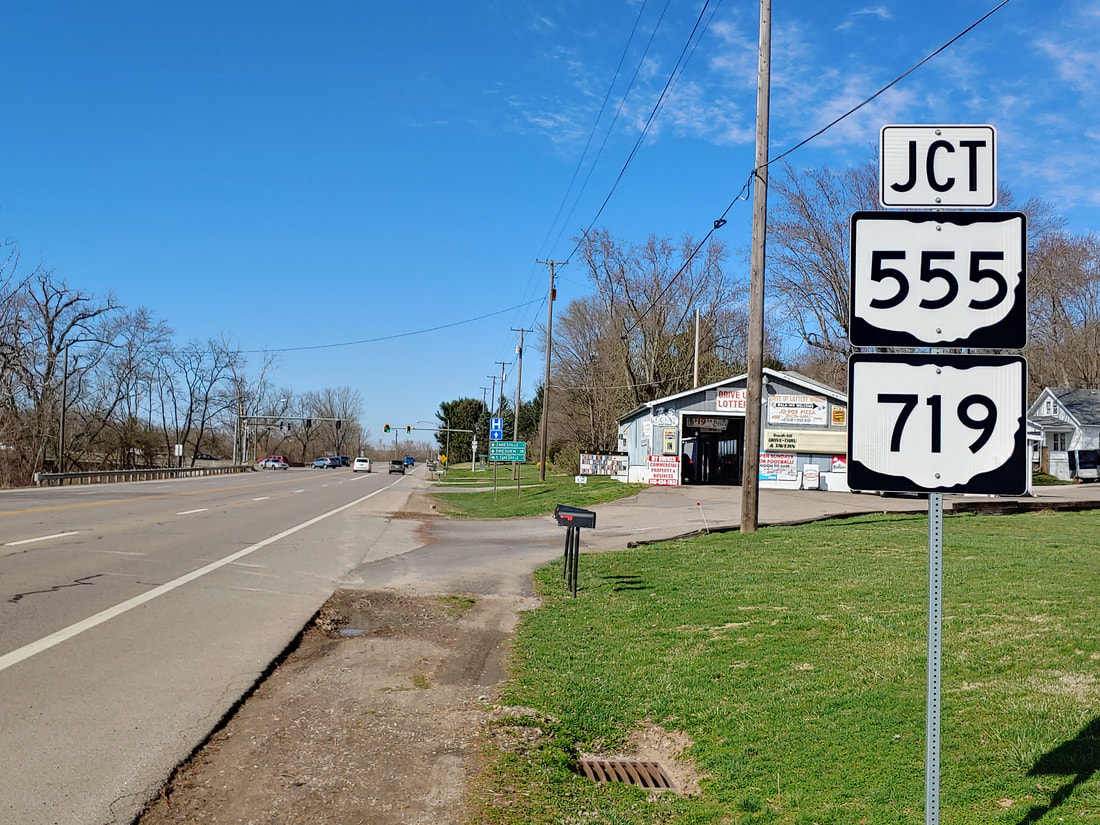
Ohio State Route 719 is a minuscule east-west route on the south side of Zanesville, Ohio. The entire route is a fraction of a mile long, connecting north-south routes running on either side of the Muskingum River. The western end of Ohio Route 719 is at Ohio Route 93, which leaves Zanesville toward the southwest carrying US Route 22. From this endpoint, Ohio Route 719 runs easterly. After a half mile, Ohio Route 719 picks up Ohio Route 555, which joins easterly onto a bridge. The eastern end of Ohio Route 719 is at the eastern approach to its bridge over the Muskingum River, at Ohio Routes 60 and 146.
My photo for Ohio Route 719 shows a junction marker on Ohio Route 60, which also carries Ohio Route 146. The aperture looks north at a junction marker for Ohio Route 719 and Ohio Route 555. Routes 719 and 555 end together at the eastern extent of the bridge over the Muskingum River at the intersection just ahead into the photo. This picture was snapped in March 2021, during the grand tour around the southeastern quarter of Ohio.
Back to Ohio Routes 700 and up.
Back to the Ohio main page.
Back to the home page.
Back to Ohio Routes 700 and up.
Back to the Ohio main page.
Back to the home page.

