Interstate 380 is the longest Interstate in Iowa with a three-digit number, running from Iowa City through Cedar Rapids to Waterloo. At 72 miles in length, it serves an important corridor in near-eastern Iowa. On a larger scale, it serves part of the corridor from St. Paul, Minnesota to St. Louis, Missouri, known as the Avenue of the Saints and marked by Iowa Route 27. The southern end is near Coralville and Iowa City, at Interstate 80, though the freeway continues south of Interstate 80 as US Route 218 and Iowa Route 27. North of there, Interstate 380 meets an interchange with US Route 30, which occupies a freeway along the south side of Cedar Rapids; it is at this interchange that US Route 218 departs to the west. Then, Interstate 380 winds through the city center of Cedar Rapids, coming out the north side at a volleyball interchange with Iowa Route 100. Interstate 380 bends northwesterly toward Waterloo, joining US Route 20's freeway for a bit. The concurrency with US Route 20 is short, and Interstate 380, now paired with US Route 218 again, spurs northerly into downtown Waterloo. Interstate 380 only lasts for about another mile, and at the interchange with San Marnan Drive (exit 72), the highway begins encountering signalized at-grade intersections. That's where the Interstate 380 designation ends, but US Route 218 carries on through downtown Waterloo.
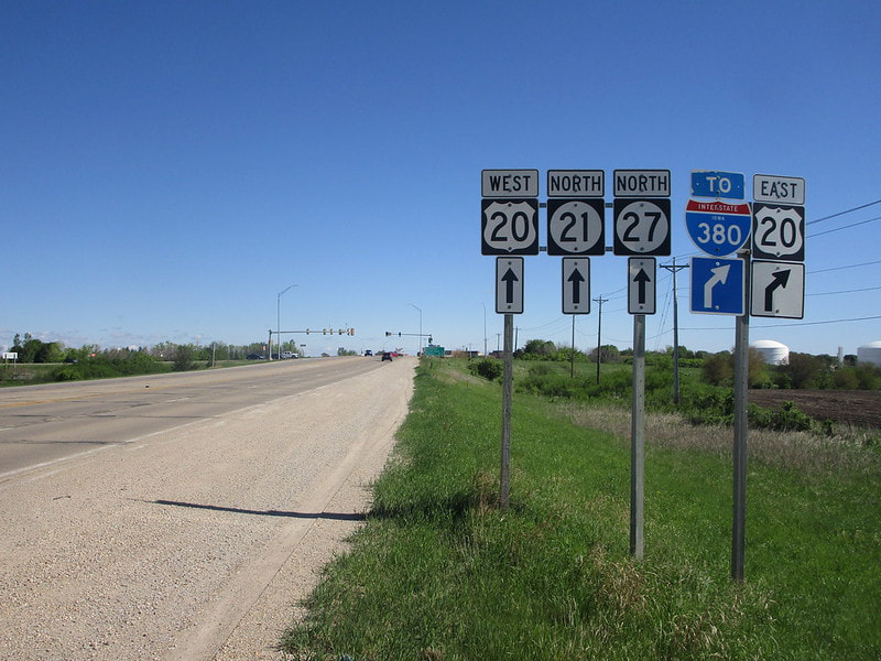
See below for a full exit list, including as many exit sign photographs as I can include. First of all, though, here is the photo showing where I got my shield image for Interstate 380. The photo's location isn't along Interstate 380 at all; rather, it's along US Route 20 just to the west. The signage you see here faces south at the northern end of Iowa Route 21. It notifies drivers on Iowa Route 21's northbound side that, in order to get to Interstate 380, they can use this onramp to US Route 20 eastbound that's coming up soon. This photo was taken in May 2022. I was looking for other Interstate 380 signs when I was on the same trip, but the best one just happened to be this one that's only tangentially related!
See below for a full exit list, including as many exit sign photographs as I can include. First of all, though, here is the photo showing where I got my shield image for Interstate 380. The photo's location isn't along Interstate 380 at all; rather, it's along US Route 20 just to the west. The signage you see here faces south at the northern end of Iowa Route 21. It notifies drivers on Iowa Route 21's northbound side that, in order to get to Interstate 380, they can use this onramp to US Route 20 eastbound that's coming up soon. This photo was taken in May 2022. I was looking for other Interstate 380 signs when I was on the same trip, but the best one just happened to be this one that's only tangentially related!
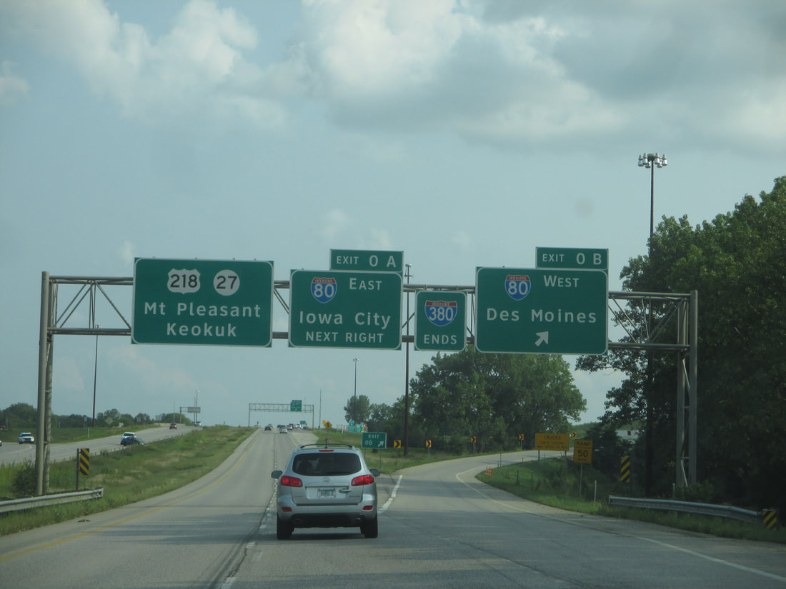
The southern beginning (or end) of Interstate 380 occurs at Interstate 80, as US Route 218 and Iowa Route 27 are passing through the Iowa City area on their expressway. The interchange at Interstate 80 has recently been reconstructed and reconfigured, so the end marker shown below is an old photo. This was taken looking south; note how Interstate 380 ends, but US Route 218 and Iowa Route 27 press onward toward the south:
Exit 2 is for Forevergreen Road, signed as a way to access Coralville...
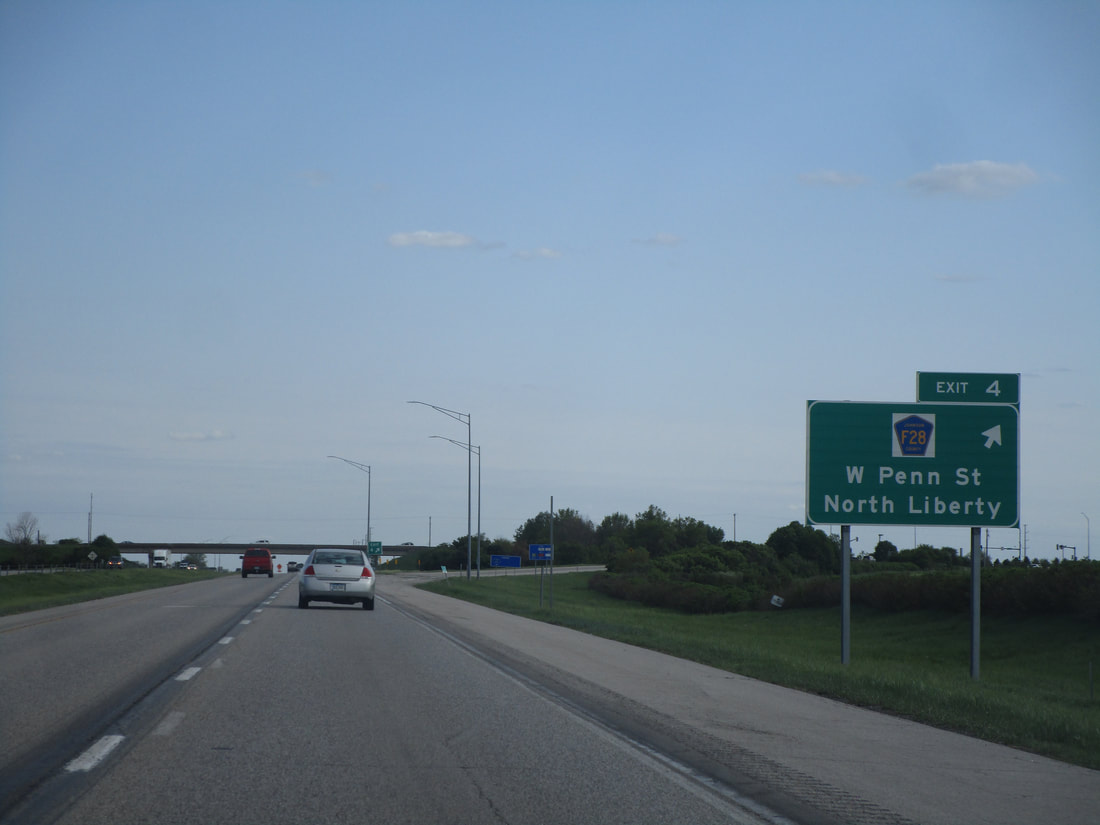
Exit 4 is for Penn Street, carrying the designation of County Highway F28, and it provides a link to North Liberty, Iowa:
Exit 10 leads to Swisher and Shueyville by way of County Highway F12...
Exit 13 is an interchange for Ely and " The Eastern Iowa Airport" (I'm not sure why the "The" was necessary to include on the sign)...
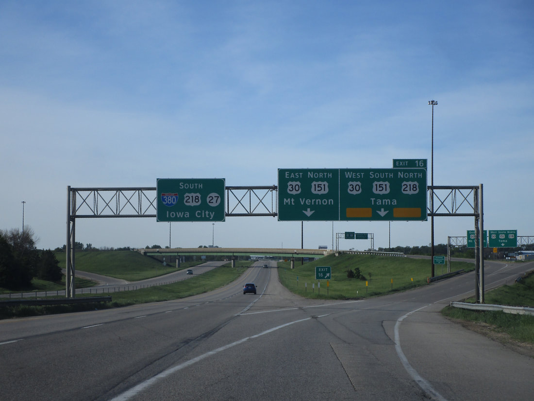
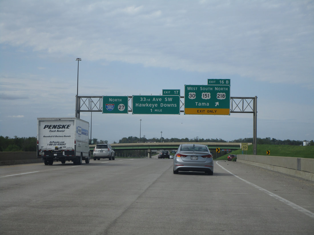
Exit 16A is the first of two ramps at a fully directional interchange to US Route 30's freeway, which flanks the southern side of Cedar Rapids. The first ramp orients travelers eastward toward Mount Vernon, Iowa. Note that the first ramp to US Route 30 eastbound also carries US Route 151 northbound:
Exit 16B is the second ramp of the interchange, leading to US Route 30 westbound toward Tama. US Route 30's westward progression also carries US Route 151 toward its southern continuation, and it also carries US Route 218 toward its northern continuation:
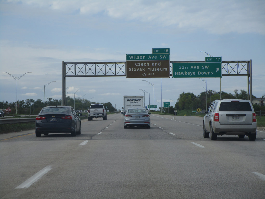
Exit 17 connects with 33rd Avenue and Hawkeye Downs; we are fully within Cedar Rapids, now:
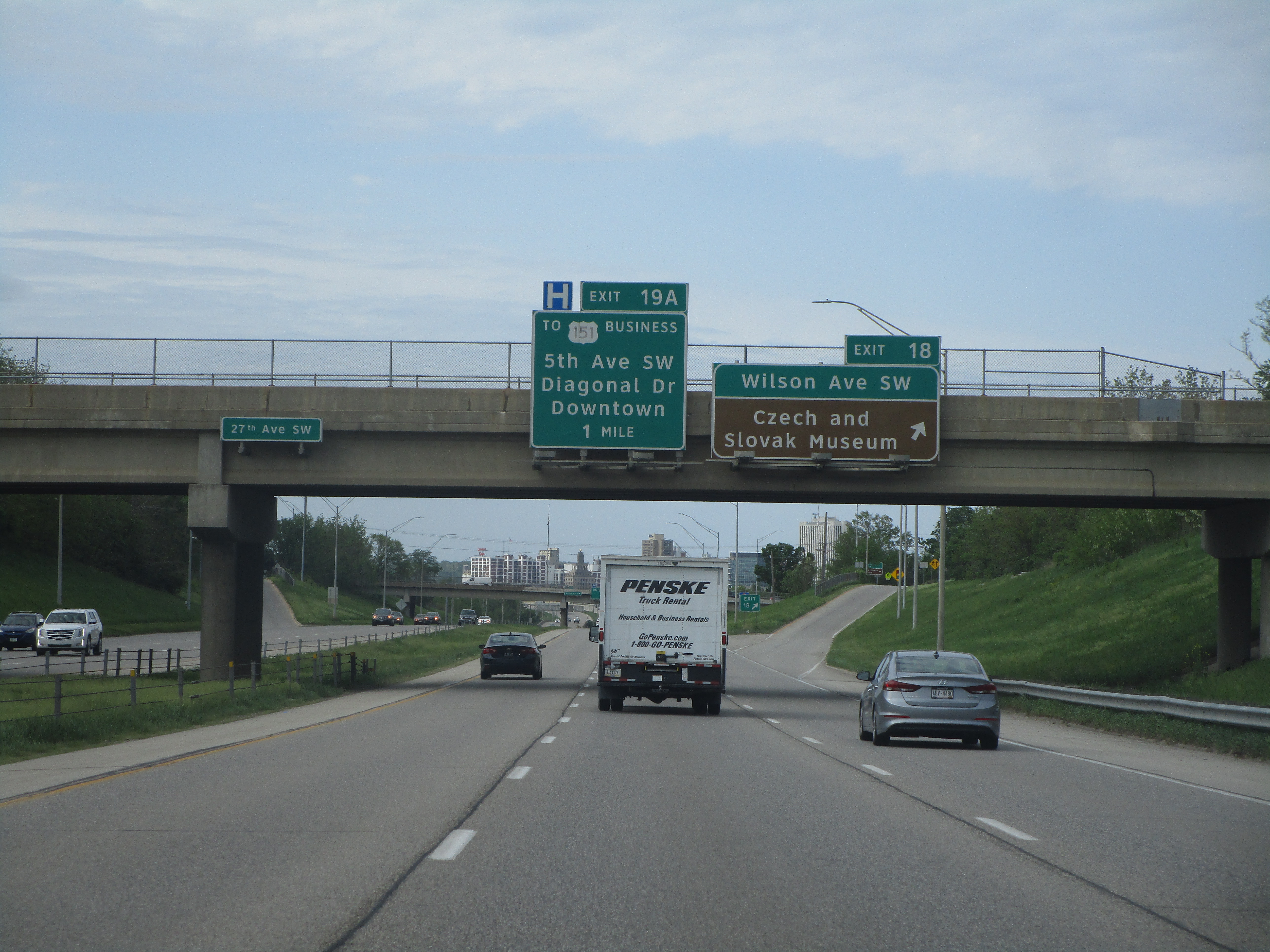
Exit 18 brings people to and from Wilson Avenue in Cedar Rapids:
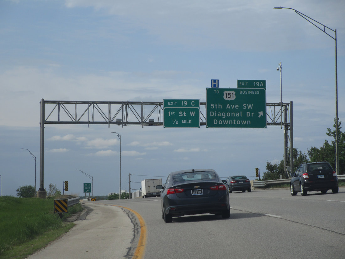
Exits 19A and 19B give travelers a chance to step down to a pair of surface streets parallel to Interstate 380. Exit 19A is the designation for the northbound offramp, and Exit 19B is the designation for the southbound offramp. Both offramps step down to a parallel surface street providing access to a variety of perpendicular streets, like 5th Avenue SW, Diagonal Drive, and Business US Route 151:
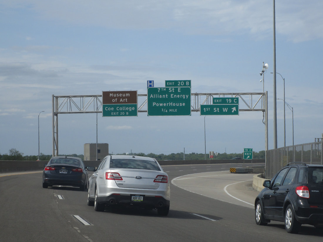
Exit 19C, only accessible to and from the south, leads to First Street West:
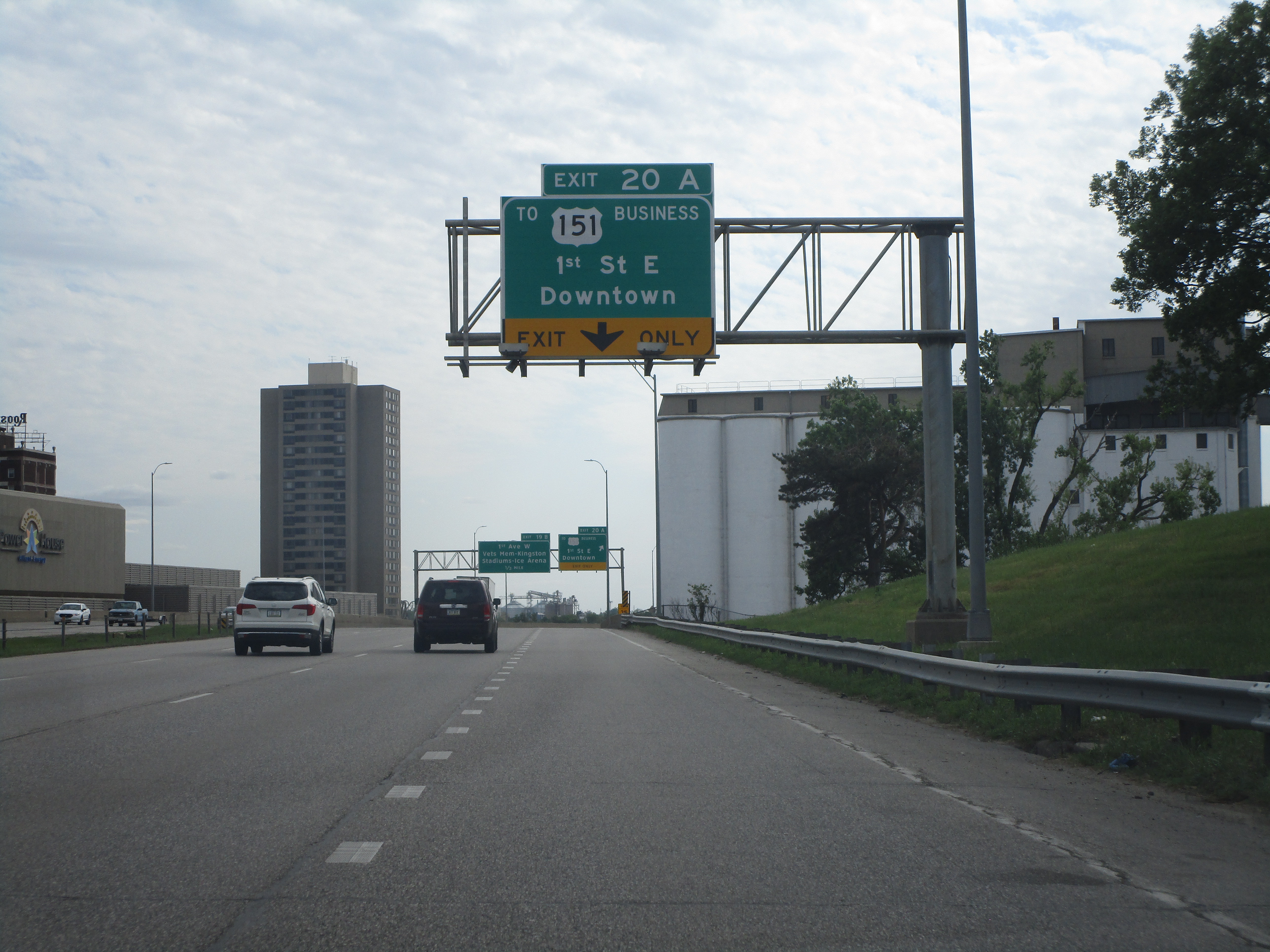
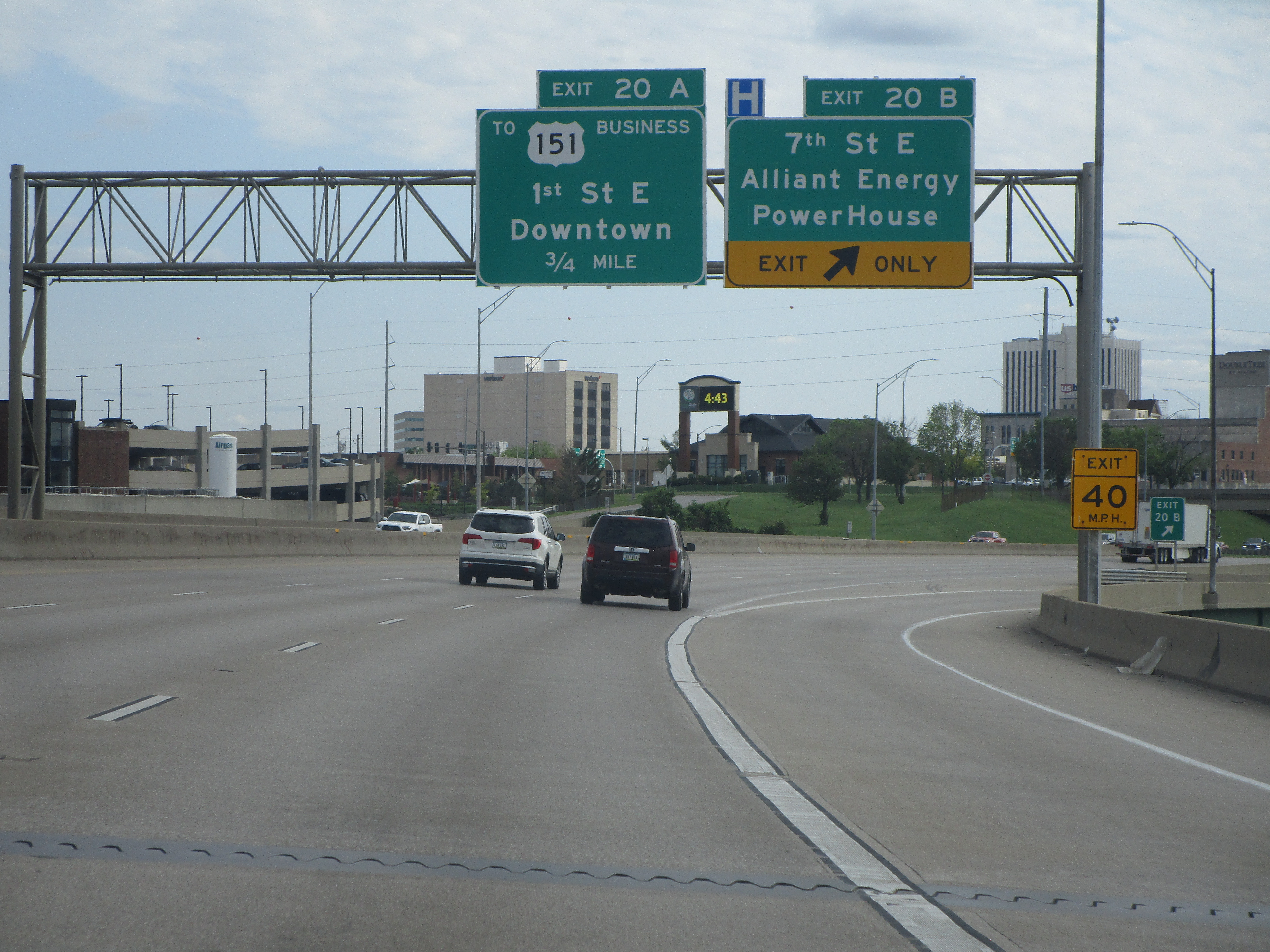
Exit 20A, only providing access to/from the north, leads to 1st Street E; tangentially, it can also lead to Business US Route 151:
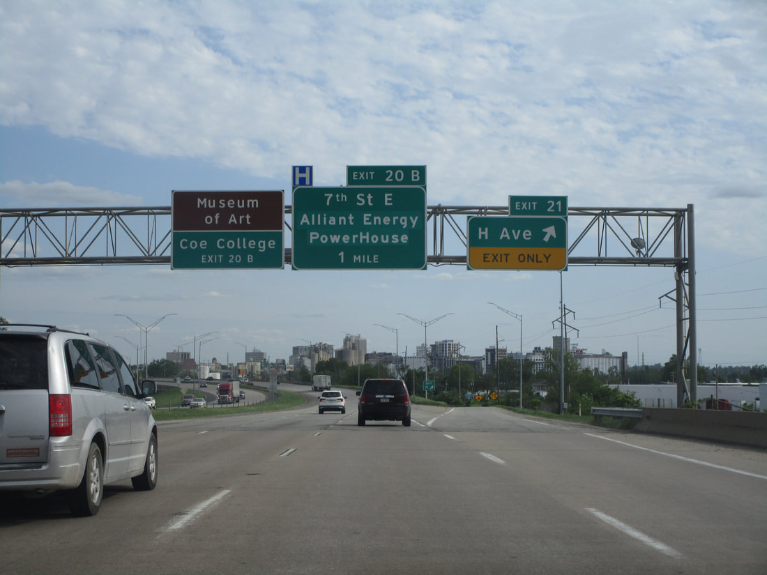
Exit 20B is for 7th Street E, and for the Alliant Energy Powerhouse:
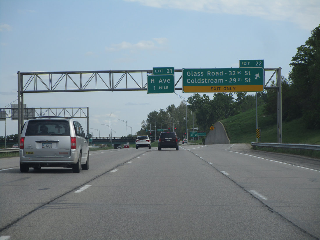
Exit 21 connects to H Avenue:
Exit 22 leads to two streets that both change names. One street is Glass Road, becoming 32nd Street, and the other street is Coldstream Road, which becomes 29th Street:
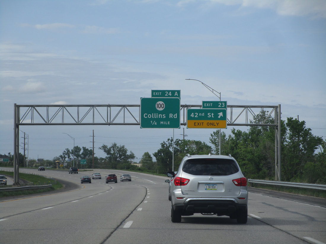
Exit 23 provides access to 42nd Street:
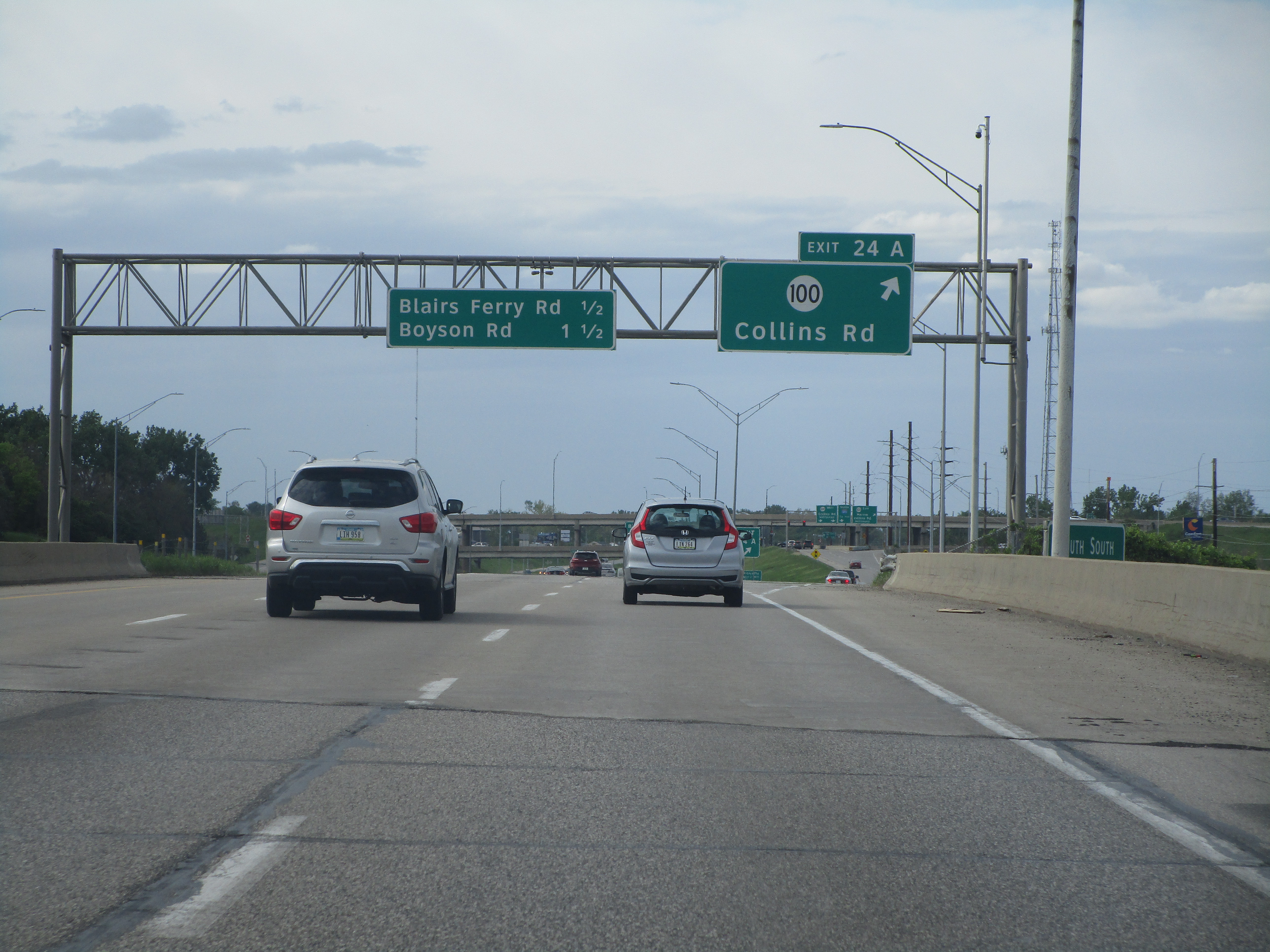
Exit 24A is a volleyball interchange to the Iowa Highway 100 expressway, also known as Collins Road:
Exit 24B is for Blairs Ferry Road...
Exit 25 leads to Boyson Road...
Exit 26 is a diverging diamond interchange with Tower Terrace Road, on the north end of the Cedar Rapids area...
Exit 28 leads to Robins and Toddville by way of County Highway E34:
Exit 35 connects with County Highway W36 and the village of Center Point:
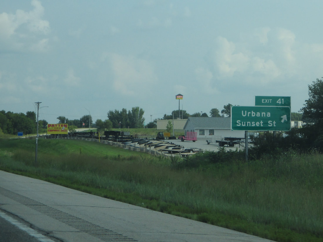
Exit 41 provides a link to Sunset Street in Urbana, Iowa:
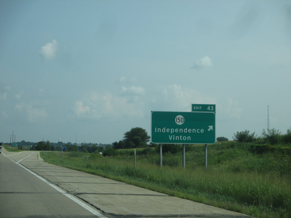
Exit 43, alongside Urbana, leads to Iowa Highway 150, signed as a connection to Independence and Vinton:
Exit 49 leads to County Highway D48 and the village of Brandon, Iowa:
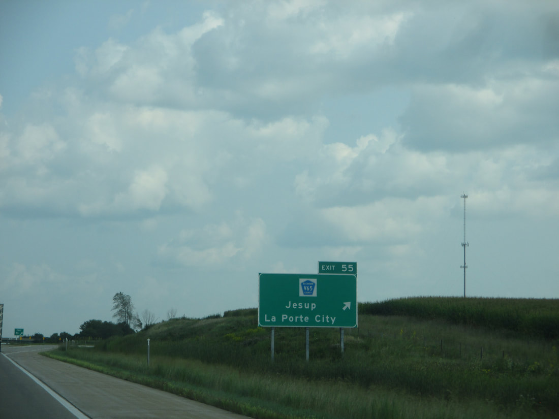
Exit 55 is for Jesup and LaPorte City by way of County Highway V65:
Exit 62 is for Gilbertville and County Highway D38:
Exit 65 connects with US Route 20's eastern continuation toward Dubuque, as Interstate 380 joins US Route 20 westward:
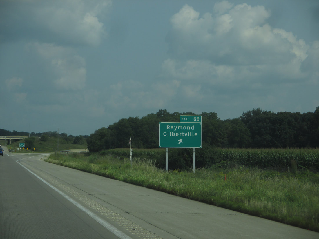
Exit 66 gives people a chance to reach Raymond and Gilbertville:
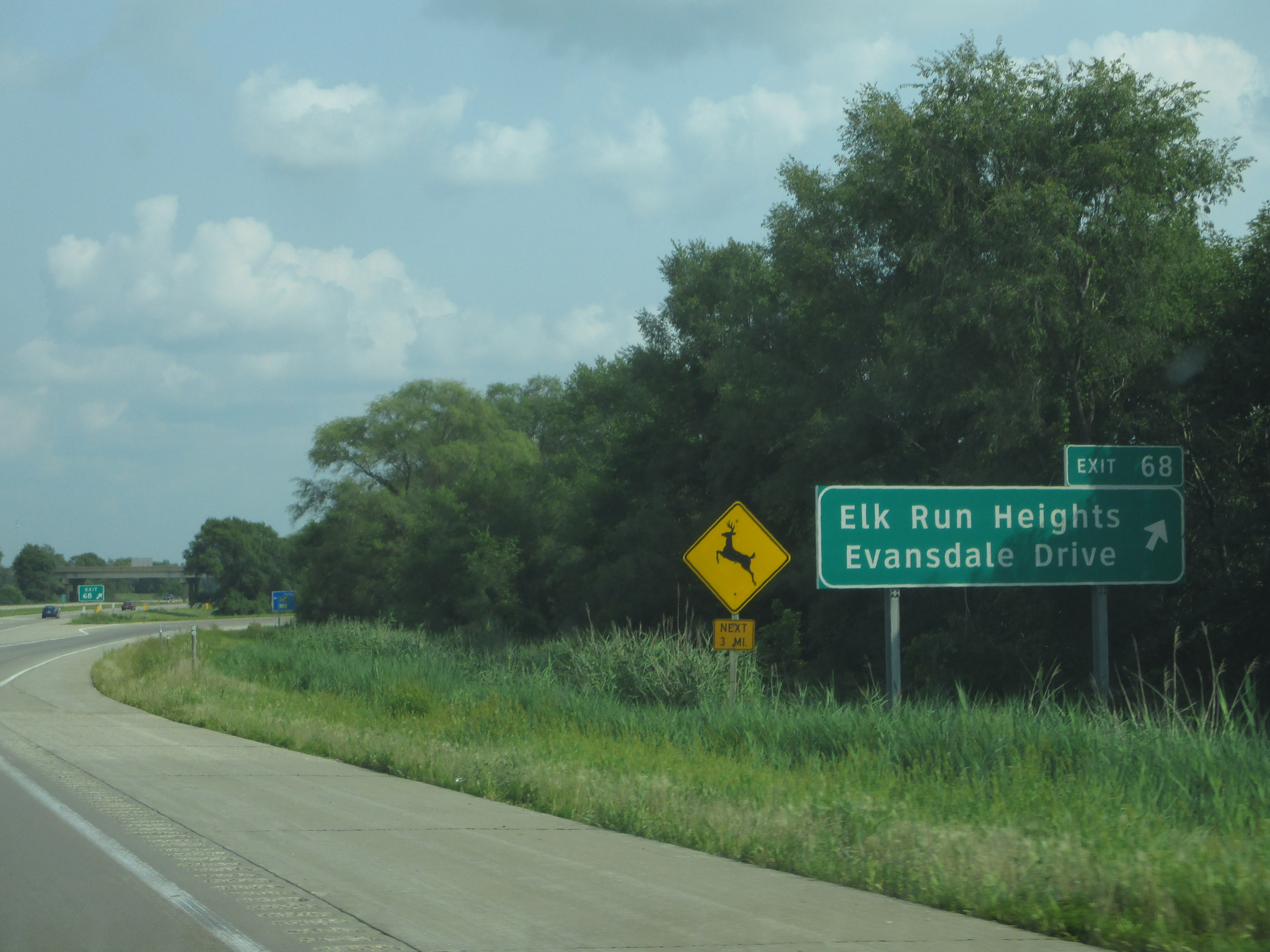
Exit 68 leads to Evansdale Drive and Elk Run Heights:
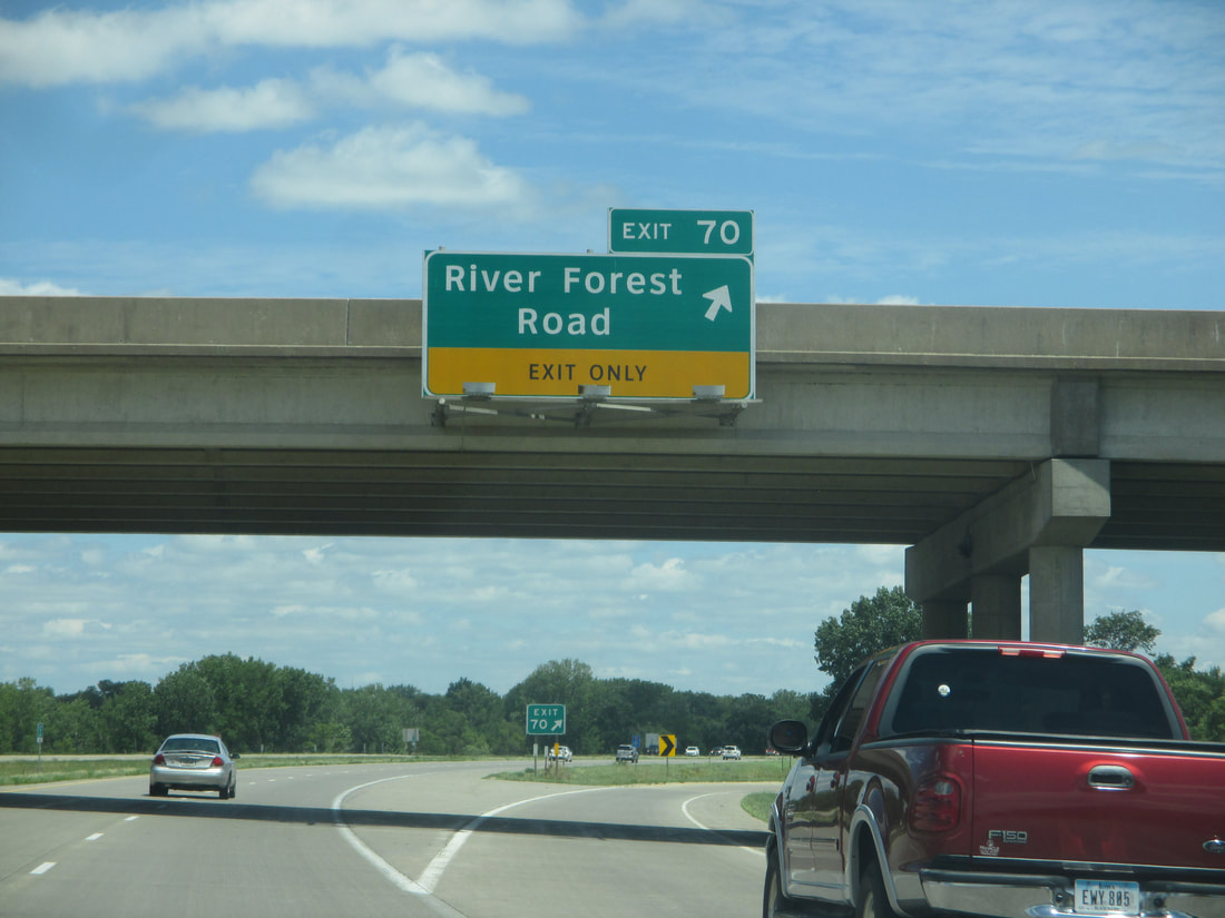
Exit 70 is for River Forest Road in the Waterloo area:
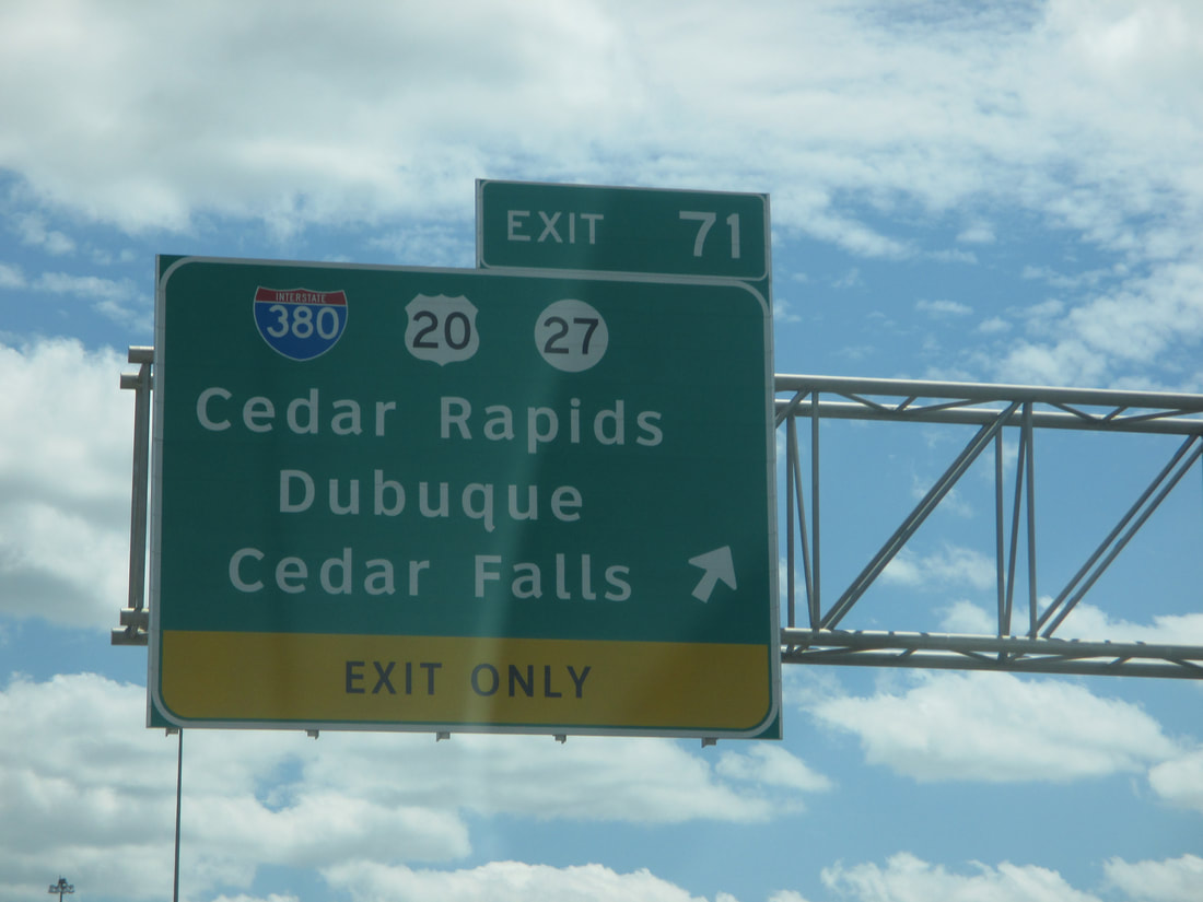
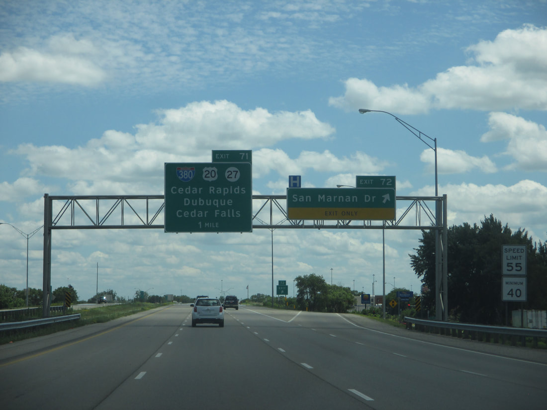
Exit 71 marks the point where Interstate 380 departs from US Route 20. Interstate 380 and US Route 218 split toward the north into downtown Waterloo, while Iowa Route 27 and US Route 20 both continue westward:
Exit 72 leads to San Marnan Drive in Waterloo:
Interstate 380 ends as the highway meets its first at-grade intersection in Waterloo, which is with Mitchell Avenue. US Route 218 continues onward in the Interstate's stead, on a pair of heavily-traveled one-way streets through the heart of Waterloo...
