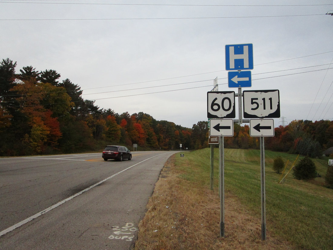
Ohio State Route 511 is a fairly long north-south route, where north-central Ohio meets northeast Ohio. The northern extent bends toward the east through Oberlin. Ohio Route 511 begins in the south at Ohio Route 39 north of Perryville. It heads north in an area about 8 miles east of Mansfield. The route heads through the heart of Ashland, and continues into Lorain County. Ohio Route 511 crosses US Route 20 at Kipton, and then promptly turns to the east. Then, this predominantly north-south highway serves as the main east-west route through Oberlin. Ohio Route 511 continues just a little further east, to end at an interchange with US Route 20, as that route transitions into a northeasterly freeway.
My photo of Ohio State Route 511 comes from Ashland, at US Route 42. A highway carrying Ohio Route 60 and Ohio Route 511 passes under US Route 42 on the southeast side of Ashland. A connector road links the two highways, and the signage depicted directs southbound travelers on US Route 42 to that connector. This photo was taken in October 2022, during the tour around the northeastern quarter of Ohio.
Back to Ohio Routes 500-599.
Back to the Ohio main page.
Back to the home page.
Back to Ohio Routes 500-599.
Back to the Ohio main page.
Back to the home page.

