Ohio State Route 98 is a north-south route where central Ohio meets north-central Ohio, and it always has some amount of northeasterly tilt. It runs from Waldo to Bucyrus to Plymouth. Waldo, at the southern end of Ohio Route 98, is a small town shoved right up alongside the US Route 23 expressway. The southernmost bit of Ohio Route 98 goes through an interchange with US Route 23, and it bends westerly to the ultimate endpoint, at a junction that's also the southern end of Ohio Route 423 and the eastern end of Ohio Route 47. Ohio Route 98 gets started from Waldo, aiming north-northeasterly. It runs straight all the way to Bucyrus, where it goes northerly through downtown along Ohio Route 4. It leaves Bucyrus by splitting from Ohio Route 4 to gain a more easterly tilt than ever before. It's slightly more easterly than northerly along its northeastern course between Bucyrus and Plymouth. The northeastern end in Plymouth is right along the border between Huron and Richland Counties. The terminus is along Ohio Route 61, where it meets Ohio Route 603.
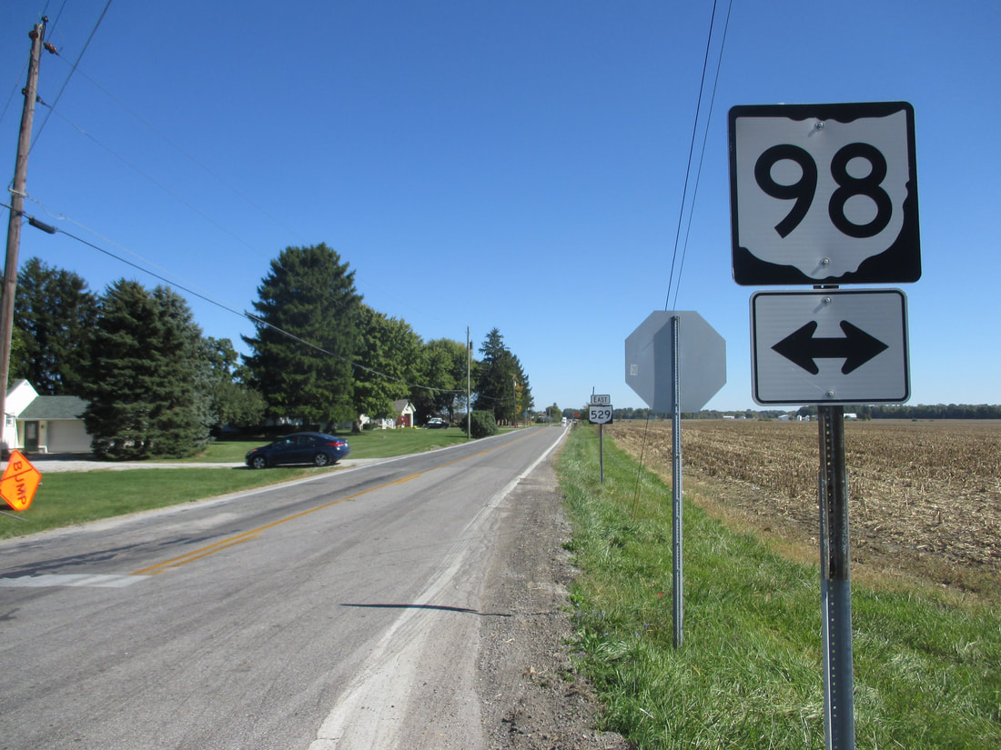
My photo of Ohio State Route 98 comes from a 4-way intersection with Ohio Route 529, pretty close to its southern end at Waldo. This junction is just southeast of Marion. The sign assembly depicted faces west, at eastbound travelers on Ohio Route 529. Those eastbound travelers use this sign assembly to locate the turn onto Ohio Route 98. This photo was taken in October 2016, during a drive northward along the US Route 23 corridor, from Portsmouth to Toledo.
Back to Ohio Routes 1-99.
Back to the Ohio main page.
Back to the home page.
Back to Ohio Routes 1-99.
Back to the Ohio main page.
Back to the home page.

