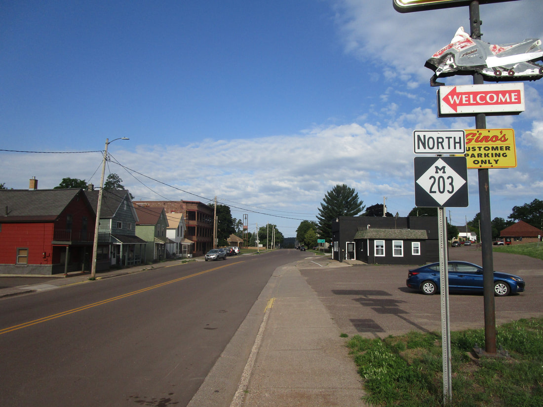
Michigan Highway 203 is a "C"-shaped route on the Keweenaw Peninsula, stemming northerly from the Houghton-Hancock area. The southern end of the "C"-shape, comprising Michigan Highway 203, is a junction with US Route 41 in Hancock. The northern end is also at US Route 41, but Michigan Highway 26 is riding along with US Route 41 at that point, in Calumet, Michigan. At the northwestern corner of Michigan Highway 203's "C"-shaped path is McLain State Park, on the shores of Lake Superior. Presumably, like other short Michigan Highways with higher numbers, Michigan Highway 203's main purpose is to serve the nearby state park (see also: M-149, M-183, M-211, or M-212). Michigan Highway 203 is almost 18 miles in length.
My photo of Michigan Highway 203 looks down its southern beginning in Hancock, Michigan. Travelers diverting from US Route 41 onto Michigan Highway 203 will see this sign affirming that they made the right (or wrong?) choice. The aperture faces west, looking down the lower end of the "C"-shape assumed by Michigan Highway 203. This photo was taken at the end of July, 2022, as part of the trip to the Keweenaw, Drummond Island, and Alpena.
Back to the Michigan main page.
Back to the home page.
Back to the Michigan main page.
Back to the home page.

