Ohio State Route 54 |
|
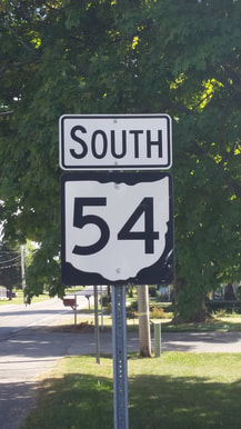
Ohio State Route 54 runs from Urbana to points east of Springfield, in west-central Ohio. It's a rural route whose length is just under 25 miles. The northern end of Ohio Route 54 is in Urbana, at US Route 36, which is concurrent with Ohio Route 29. From this northern end, Ohio Route 54 runs south and zigzags erratically on a series of country roads that cut east. Ohio Route 54 turns southerly through Catawba and South Vienna. There isn't much for Ohio Route 54 to do after that; it ends near South Charleston at Ohio Route 41.
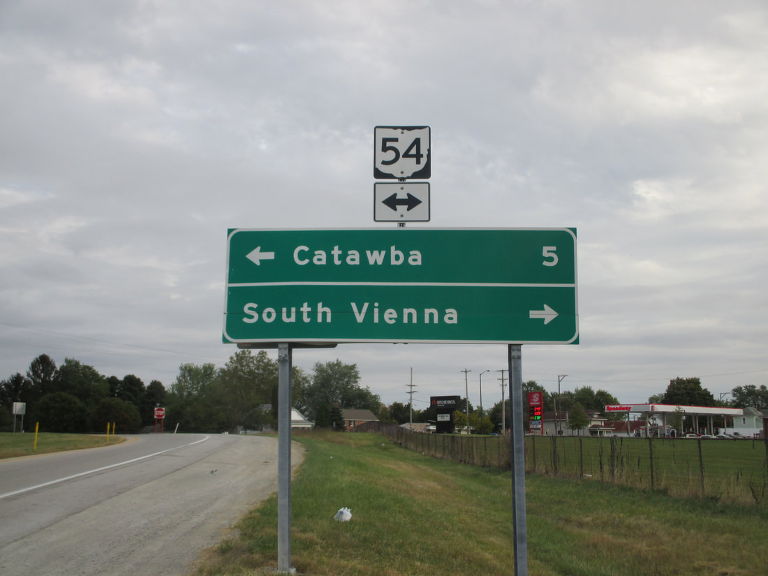
My photo of Ohio State Route 54 comes from the eastbound offramp of Interstate 70 at South Vienna. Those exiting the eastbound lanes of the Interstate will see this scene as they approach the stop sign at Ohio Route 54. This photo was taken in October 2015 on the way to Columbus.
Back to Ohio Routes 1 through 99.
Back to the Ohio main page.
Back to the home page.
Back to Ohio Routes 1 through 99.
Back to the Ohio main page.
Back to the home page.
