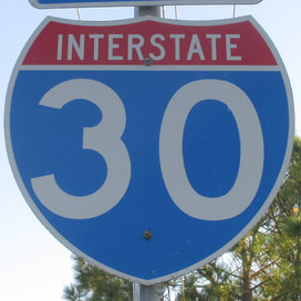
Interstate 30 is the shortest Interstate highway to have a number ending in zero, connecting Little Rock, Arkansas, to the Dallas-Fort Worth metroplex in Texas. It runs northeast-southwest in Arkansas, and in Texas it's a bit flatter, running more west-southwesterly from Texarkana. The northeastern-most segment is a north-south jaunt over the Arkansas River, just barely east of downtown Little Rock. It northern end is at Interstate 40. When it is decidedly past downtown to the south, Interstate 30 turns southwesterly toward Hope and Texarkana. Texarkana, situated on the border between Texas and Arkansas, is served by Interstate 30, which flanks it just to the north. Interstate 30 continues west-southwesterly through northeastern Texas to reach the Dallas area. Interstate serves the cities of Dallas and Fort Worth by skewering westward right through both downtowns, while Interstate 20 flanks both cities to the south as a sort of bypass. Just as Interstate 30 leaves the metroplex for the vast fields of rural Texas, Interstate 20 nudges northward to absorb Interstate 30 and its traffic; this point of convergence is where Interstate 30 ends.
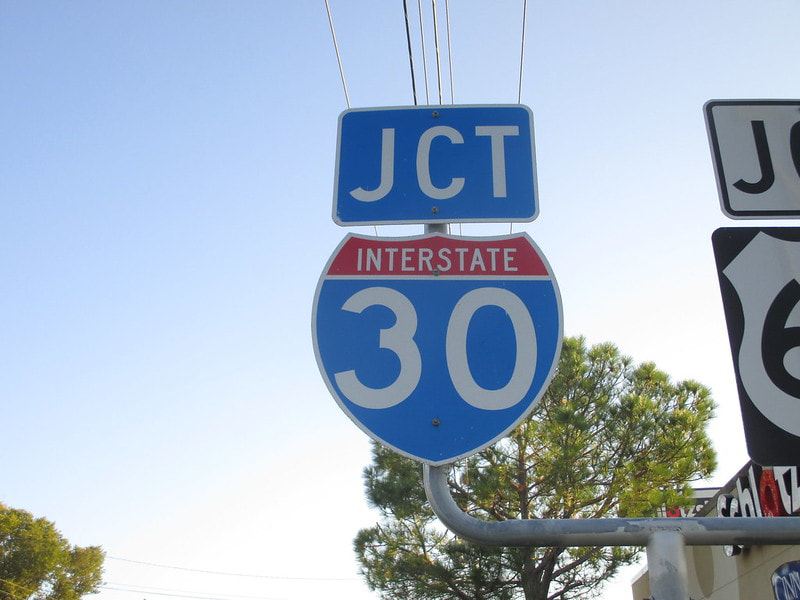
Forgive the lack of proper context, but I can't find an image showing the whole of this pair of junction markers in Greenville, Texas. This pair of junction markers for Interstate 30 and US Route 67 faces north on Texas State Highway 34, in Greenville, a town in Texas about forty miles northeast of Dallas. US Route 67 follows alongside Interstate 30 east of Dallas (so for the freeway's overwhelming majority). I took this photo early in my routesnapping career; you can tell by the amateurish lack of backing up to include the entire sign assembly in the frame. This image comes to you from the later part of the first Gulf Coast trip in October 2014.
Back to the nationwide main page.
Back to the home page.
Back to the nationwide main page.
Back to the home page.


