Ohio State Route 235 is a long north-south highway in west-central and northwestern Ohio. It is the reason why Ohio doesn't have a Route 69, as the old Route 69 was gobbled up by an extension of the old Ohio Route 235. The original Ohio Route 235, still intact today, starts from a split with US Route 68 a few miles north of Xenia. It ran northwest to Fairborn, and it still does; however, it continues beyond Fairborn, flanking the northeastern and northern sides of Wright-Patterson Air Force Base. It joins Ohio Route 4 north, and it meets an interchange with Interstate 70, where Ohio Route 4 joins the freeway eastward. Ohio Route 235 is now headed north on the old Route 69, which was considerably long. Ohio Route 235 runs across western Clark and Champaign Counties, and it then reaches the Indian Lake area in Logan County. Ohio Route 235 runs north around the west side of the lake, and east around the north side of the lake. Looking onward, it continues north as the main north-south highway in the towns of Ada, McComb, and Hoytville. Ohio Route 235 passes through Weston, where it crosses US Route 6 west of Bowling Green. Ohio Route 235 runs for five more miles north to the Maumee River, and goes no further, because it ends at Ohio Route 65. Most continue northeast on Ohio Route 65 toward Perrysburg and Toledo.
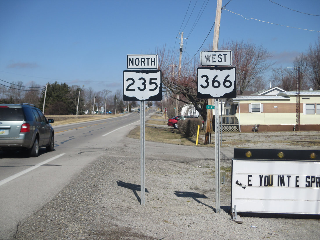
My photo for Ohio State Route 235 comes from the west side of Indian Lake, where the route is continuing north from its junction with Ohio Route 365. Ohio Route 235 is duplexed with Ohio Route 366 at this point, as indicated by the dual trailblazers. The aperture looks north as the duplex continues away from Russells Point, which lies to the south of here. This photo was taken on Leap Day 2016, heading northwest along the US Route 33 corridor away from Columbus (with various detours to sign photo opportunities).
Back to Ohio Routes 200-299.
Back to the Ohio main page.
Back to the home page.
Back to Ohio Routes 200-299.
Back to the Ohio main page.
Back to the home page.

