^Eastbound trailblazer at the bend in Carmi west of Illinois 1, February 2023.
Illinois Route 14 runs east-west in southern Illinois from DuQuoin, east to the Wabash River. For most of its length, Illinois Route 14 is the next east-west route south of Interstate 64, passing through Perry, Franklin, Hamilton, and White Counties.
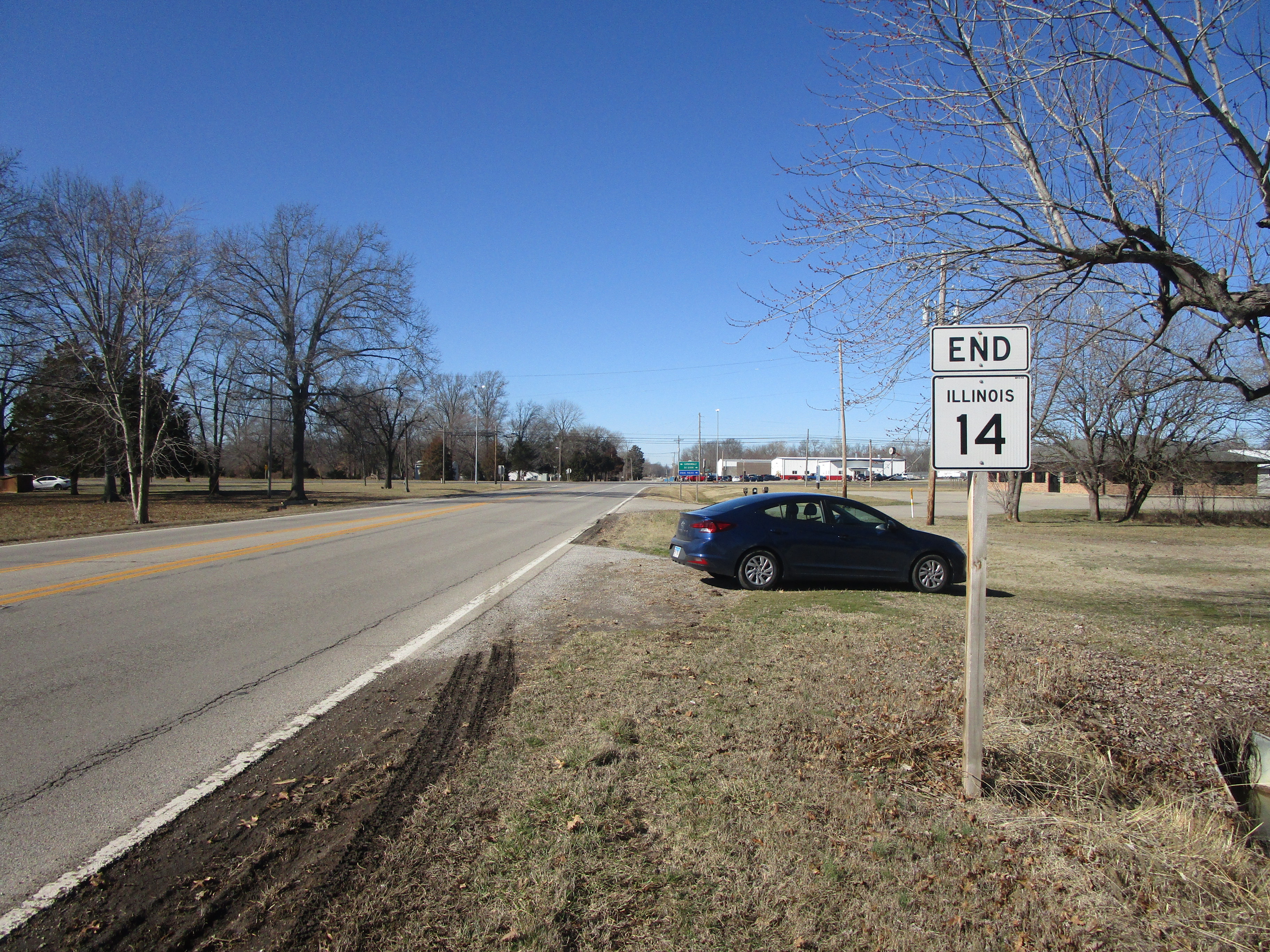
Illinois 14's western end is at US Route 51 on the south side of DuQuoin:
Illinois 14's western end is at US Route 51 on the south side of DuQuoin:
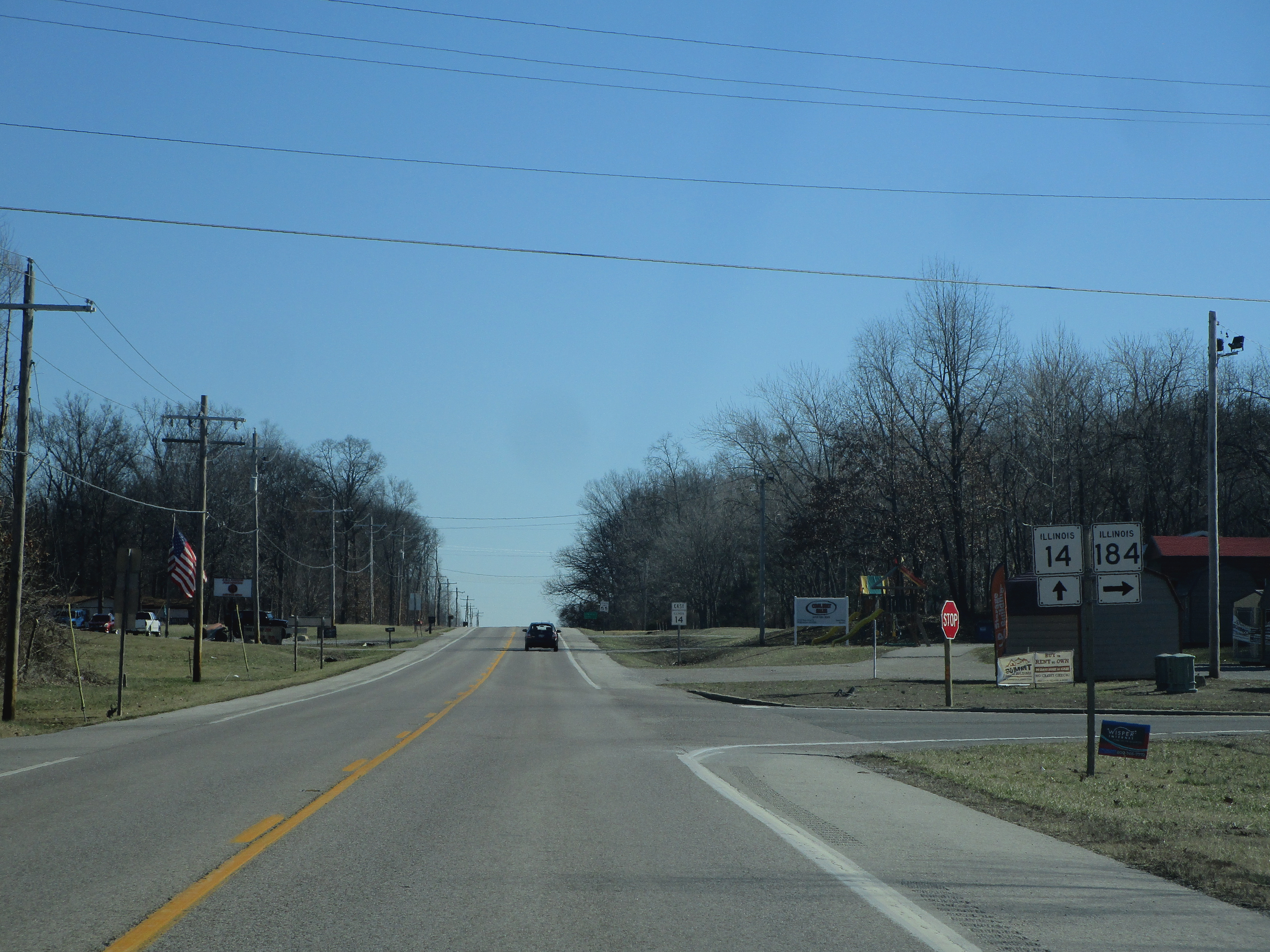
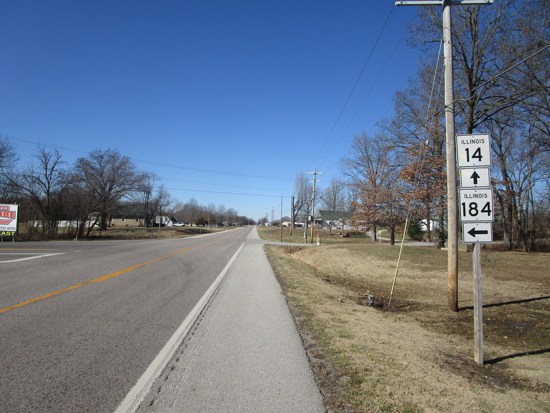
At the unincorporated place called Mulkeytown, Illinois 14 meets the northern end of Illinois 184:
|
|
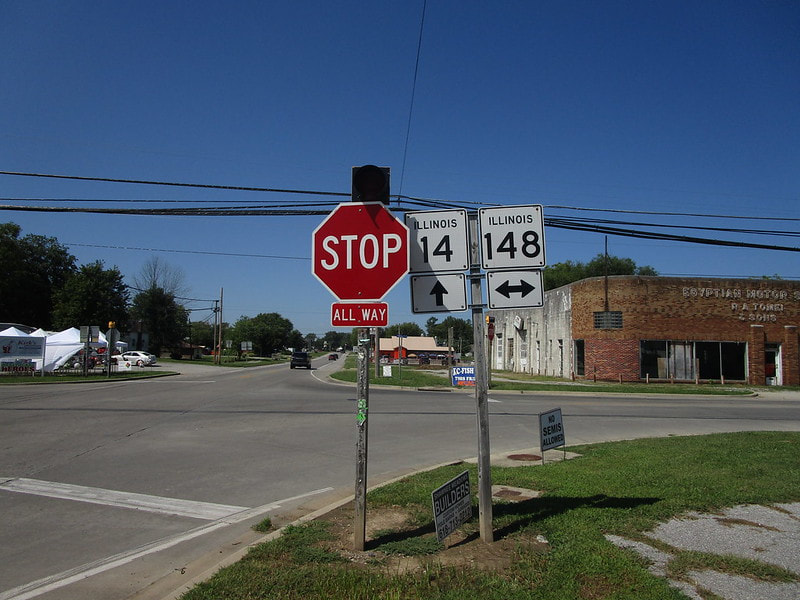
At Christopher, Illinois 14 crosses Illinois 148:
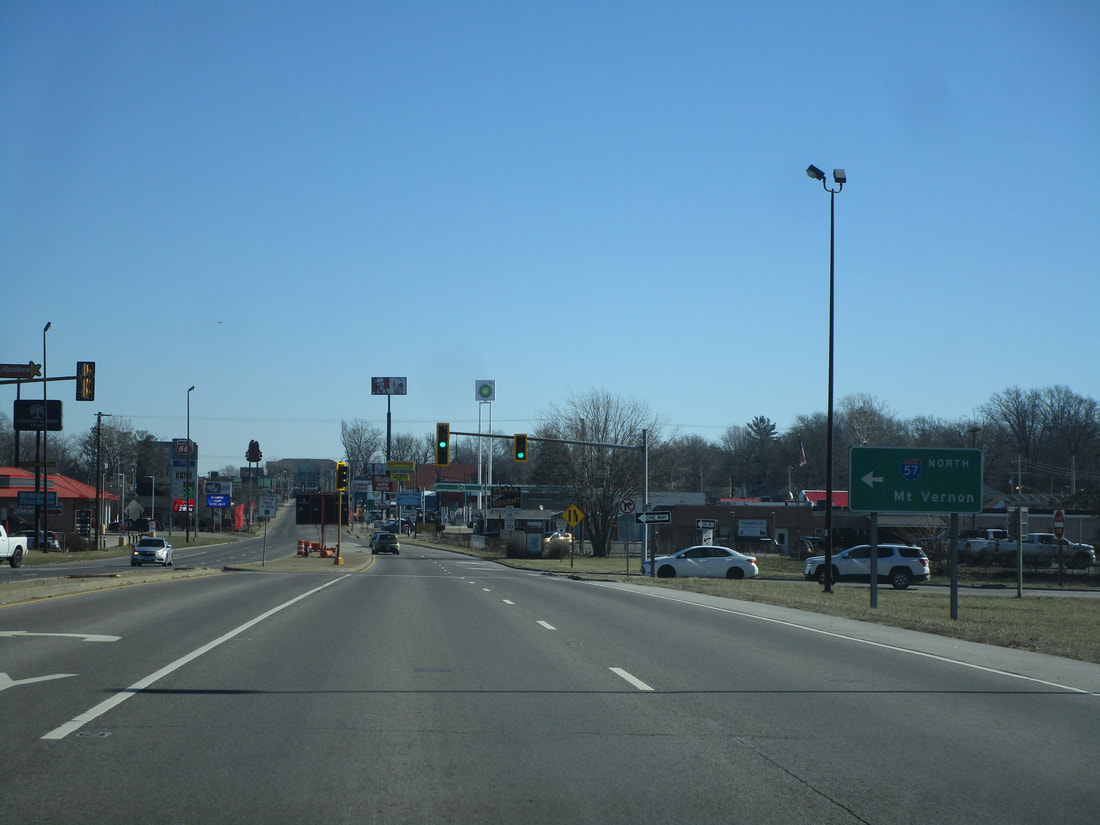
As Illinois 14 reaches Benton, it meets an interchange with Interstate 57:
At the town square roundabout in Benton, Illinois 14 joins Illinois 37 north, while Illinois 34 starts out heading east:
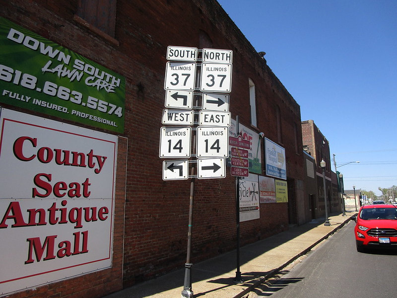
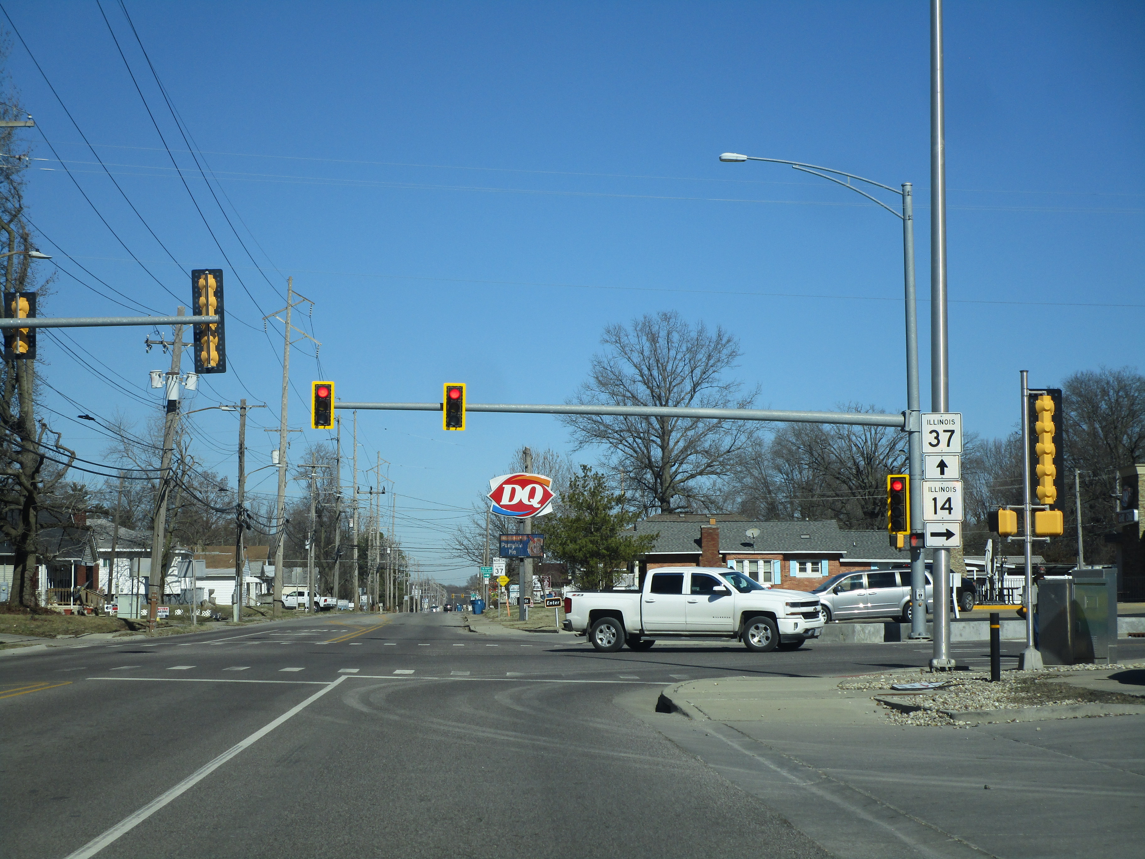
Still in Benton, Illinois 14 turns off of Illinois 37 to resume heading easterly:
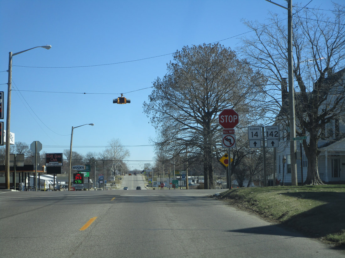
At McLeansboro, Illinois 14 encounters Illinois 142, at the south end of that route's stint as a pair of one-way streets; this means the southbound side of Illinois 142 joins Illinois 14 east for one block, while the northbound side crosses straight across Illinois 14. Here's the intersection where southbound Illinois 142 joins from the north:
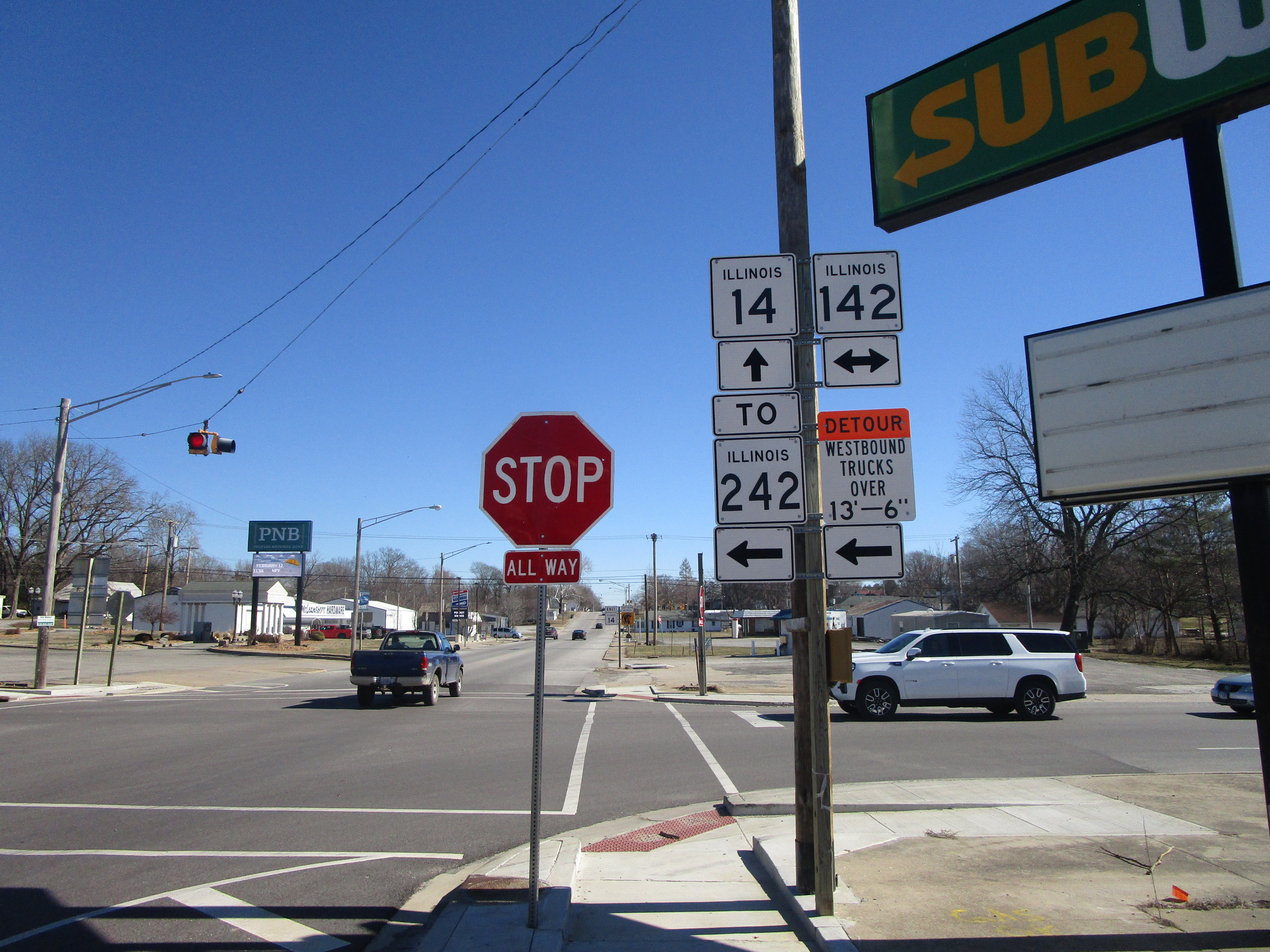
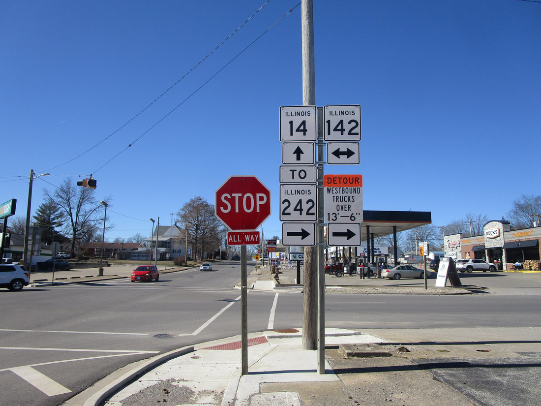
And here is the intersection one block to the east, where Illinois 142's southbound and northbound directions head away from Illinois 14:
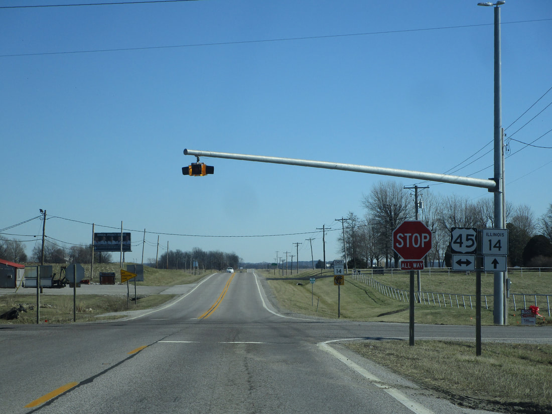
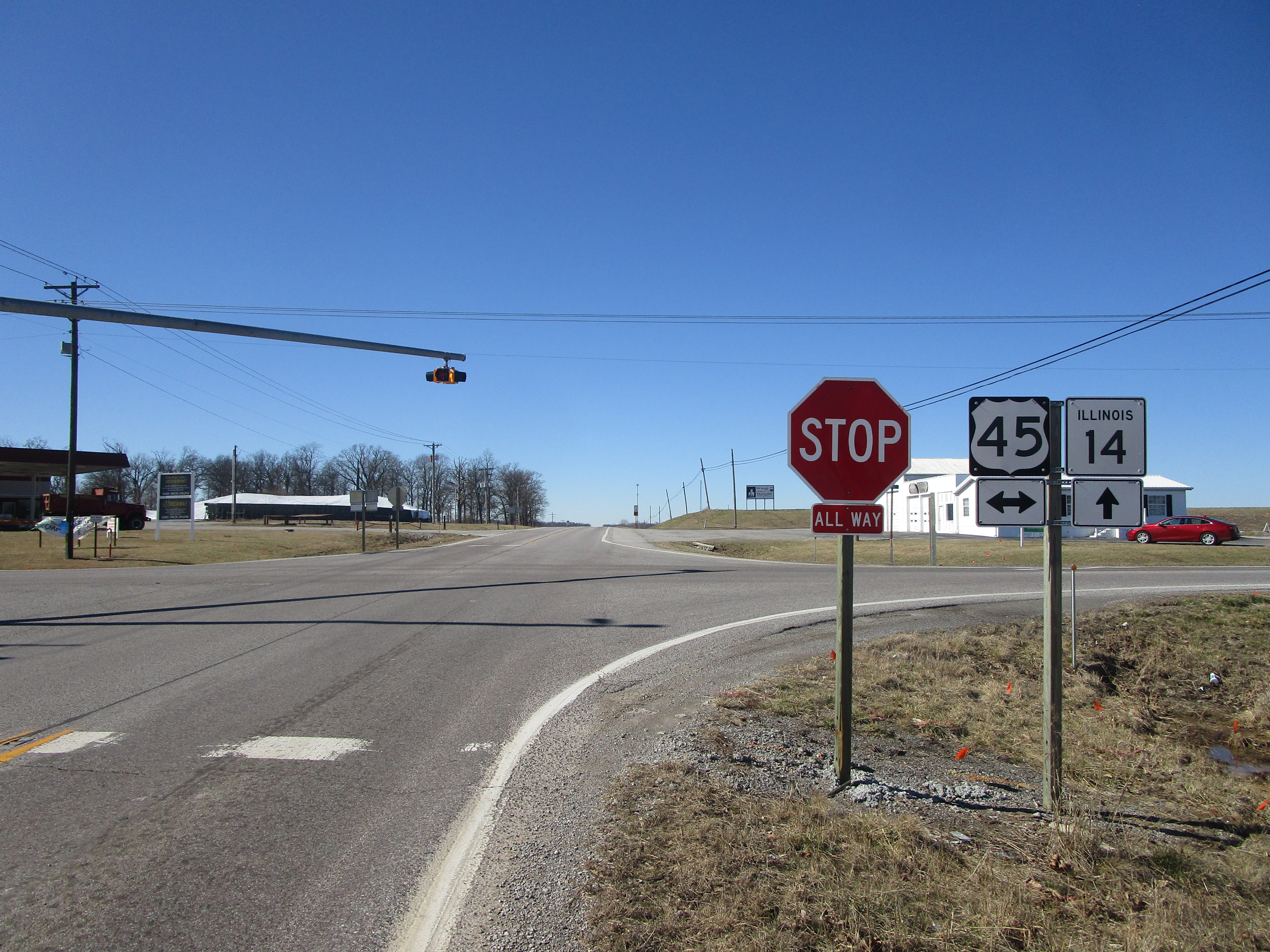
Just outside of Enfield, Illinois 14 crosses US Route 45:
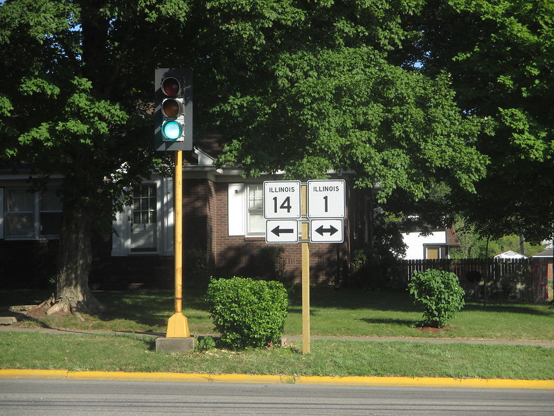
At Carmi, Illinois 14 joins Illinois 1 north, though this point might as well be the new eastern endpoint of Illinois 14 (see below):
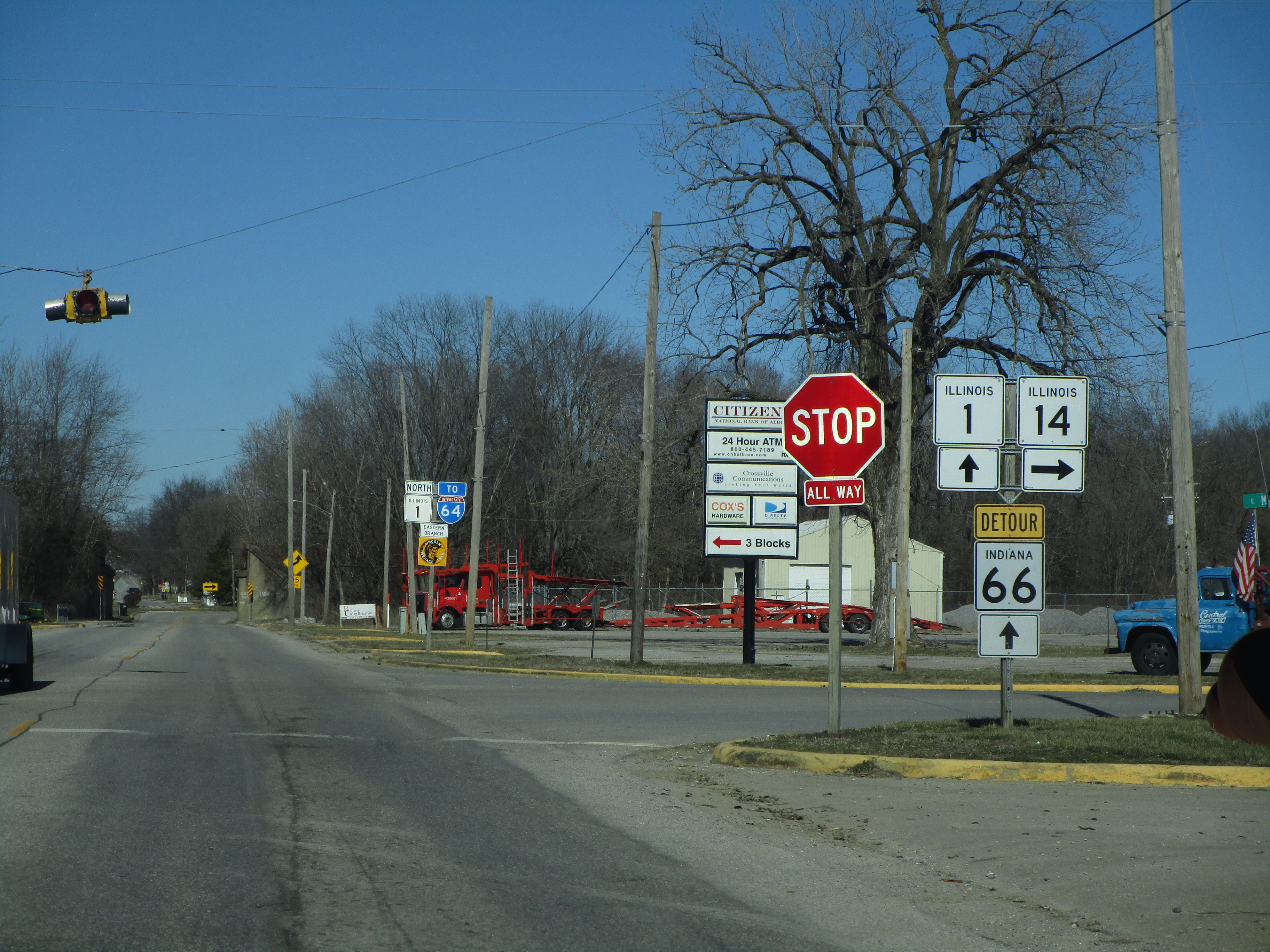
At Crossville, Illinois 14 splits from Illinois 1 to head east:
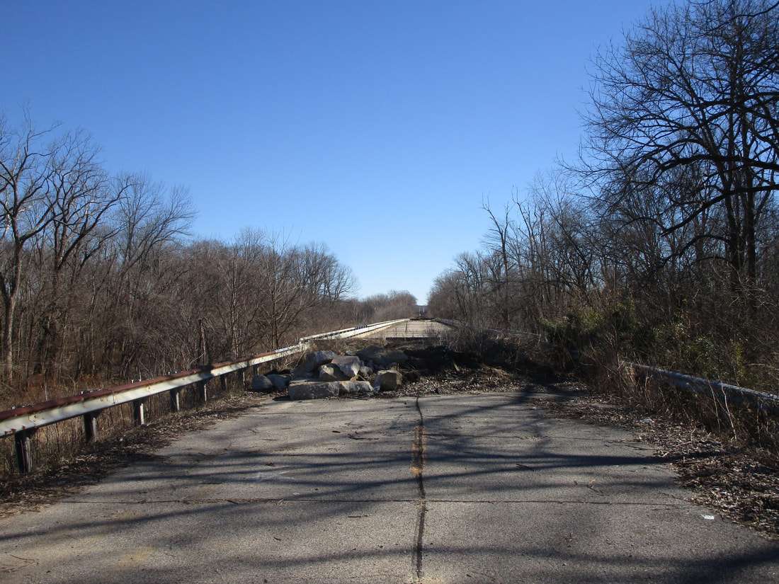
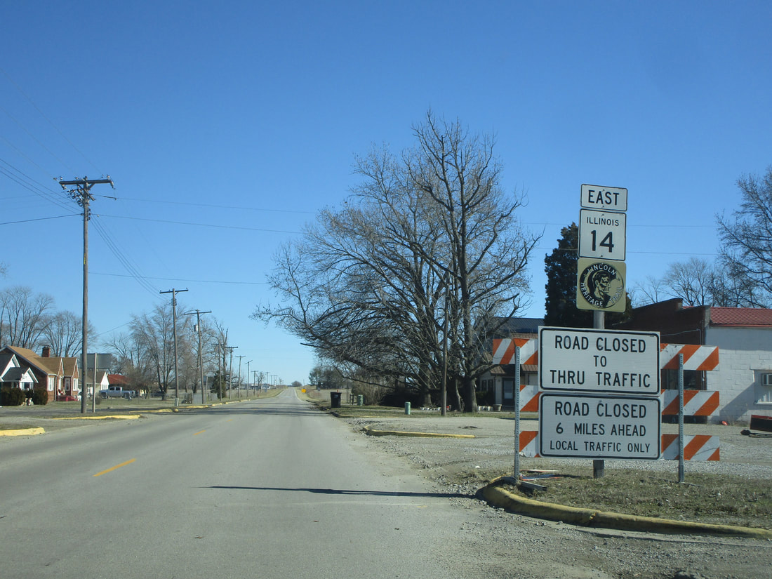
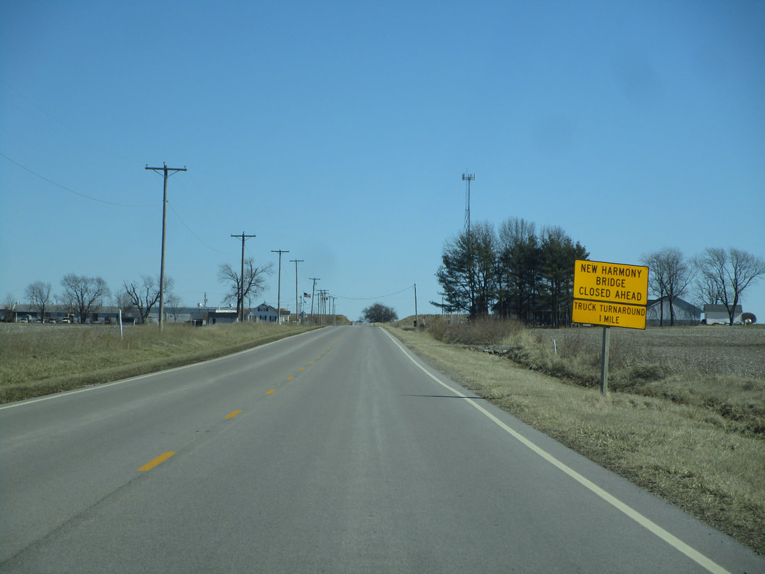
At the site of a former bridge over the Wabash River, Illinois 14 ends across the river from New Harmony, Indiana. Illinois 14 used to cross a bridge here into New Harmony, where it became Indiana State Route 66, but the bridge was closed about ten years ago, leaving Illinois 14 to simply dead-end at the river in the present day. A bevy of signs make it abundantly clear that the bridge to Indiana is closed:
The pavement is blocked off by an arrangement of refuse. This is as close as I could drive my car to the bridge.