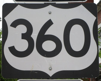
US Route 360States traversed: Virginia
|
|
US Route 360 runs from southwest to northeast, from south-central Virginia to east-central Virginia. US Route 360's southwestern end is in downtown Danville, Virginia, at the business alignments of US Route 58 and US Route 29. US Route 360 starts off concurrent with US Route 58 east until South Boston, where US Route 360 diverts northeasterly to start doing its own thing. It skewers through Richmond, Virginia, before ending at the Chesapeake Bay, in a town called Reedville. Just before this end, US Route 360 provides a very important bridge over the Rappahannock River, connecting Tappahannock to Warsaw.
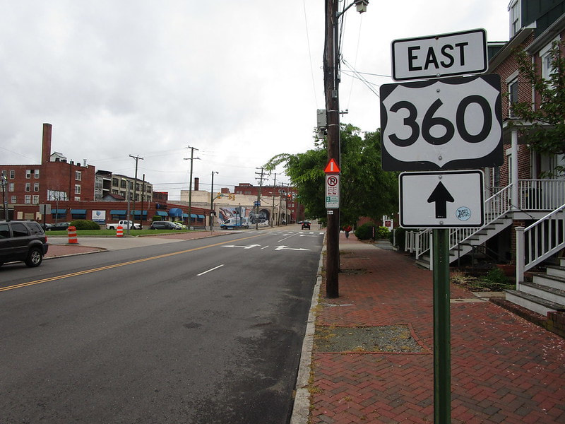
My photo for US Route 360 shows a guide marker that sits just east of Interstate 95 in Richmond, Virginia. The aperture is looking north along 18th Street in Richmond, and that street's intersection with Broad Street is visible in the background. US Route 360 turns from easterly to northerly at this intersection. I took this photo as part of the Virginia trip in April, 2021.
Back to the nationwide main page.
Back to the main page.
Back to the nationwide main page.
Back to the main page.
