Interstate 35, while in Iowa, is the main north-south freeway running down Iowa's central backbone. It's instrumental for reaching Des Moines, the capital in the middle of the state of Iowa. It has a very slight angle toward the northeast (or southwest) while in Iowa, because, on a broader scale, it connects Kansas City to the Twin Cities of Minnesota.
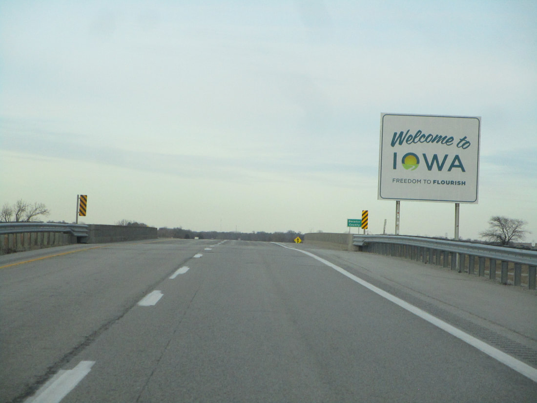
Interstate 35's southern entrance into Iowa occurs near Lamoni, Iowa, at a point slightly closer to the Missouri River than to the Mississippi. Continuing north, Interstate 35 proceeds through the middle of Iowa to flank the west side of Des Moines. In the southwest corner of the Des Moines area, Interstate 35 meets the western end of the Iowa Highway 5 expressway. Soon after, on the west side of Des Moines, Interstate 35 meets an interchange where Interstate 80 joins it northerly; at the same interchange, Interstate 235 is given its eastbound beginning toward downtown Des Moines. Interstates 35 and Interstate 80 run north concurrently, and then bend into an easterly path together around the northern side of Des Moines; the bend is home to the southeastern beginning of Iowa Route 141. In northeast Des Moines, Interstate 35 splits from Interstate 80 to continue north, at an interchange home to the northeastern end of Interstate 235. Interstate 35 is now on its own, continuing north past Ankeny and Ames. At Clear Lake, just west of Mason City, Interstate 35 picks up Iowa Route 27, also known as the Avenue of the Saints. The freeway carries that added designation for its remaining 37 miles in Iowa, crossing the Minnesota border south of Albert Lea.
For now, I'll just include a couple of photos of Interstate 35. But I will soon get some more photos from the Interstates in Iowa so I can provide full exit lists for everyone. Those exit lists will have a photo for every exit. In the meantime, enjoy a short reel of photos.
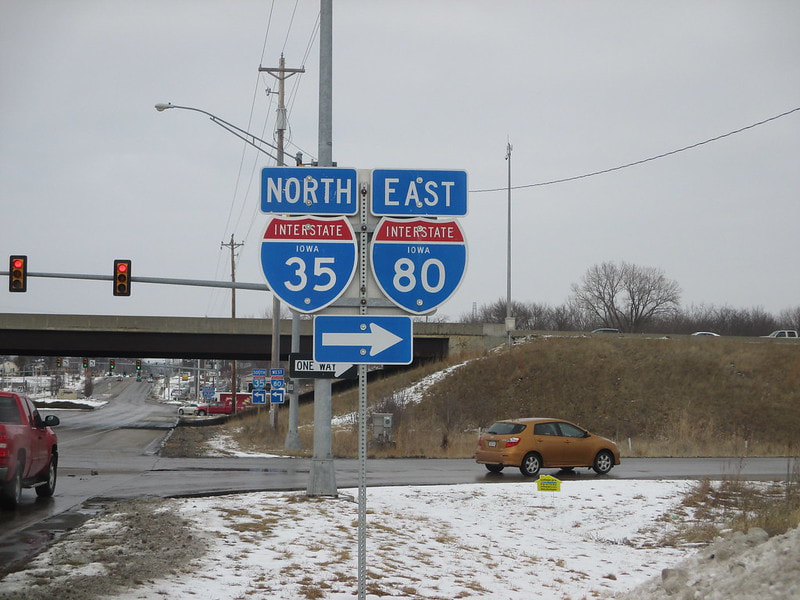
First of all, though, here is the photo showing where I got my shield image for Interstate 35. This photo comes from the interchange where Interstates 35 and 80, running concurrently, have ramps to the northern extent of Iowa Route 28. The photo was taken in February 2016, showing the south-facing signage that helps northbound traffic find where to turn onto the eastbound side of the freeway.
Interstate 35's southern entrance into Iowa occurs near Lamoni, Iowa, at a point slightly closer to the Missouri River than to the Mississippi. Continuing north, Interstate 35 proceeds through the middle of Iowa to flank the west side of Des Moines. In the southwest corner of the Des Moines area, Interstate 35 meets the western end of the Iowa Highway 5 expressway. Soon after, on the west side of Des Moines, Interstate 35 meets an interchange where Interstate 80 joins it northerly; at the same interchange, Interstate 235 is given its eastbound beginning toward downtown Des Moines. Interstates 35 and Interstate 80 run north concurrently, and then bend into an easterly path together around the northern side of Des Moines; the bend is home to the southeastern beginning of Iowa Route 141. In northeast Des Moines, Interstate 35 splits from Interstate 80 to continue north, at an interchange home to the northeastern end of Interstate 235. Interstate 35 is now on its own, continuing north past Ankeny and Ames. At Clear Lake, just west of Mason City, Interstate 35 picks up Iowa Route 27, also known as the Avenue of the Saints. The freeway carries that added designation for its remaining 37 miles in Iowa, crossing the Minnesota border south of Albert Lea.
For now, I'll just include a couple of photos of Interstate 35. But I will soon get some more photos from the Interstates in Iowa so I can provide full exit lists for everyone. Those exit lists will have a photo for every exit. In the meantime, enjoy a short reel of photos.
First of all, though, here is the photo showing where I got my shield image for Interstate 35. This photo comes from the interchange where Interstates 35 and 80, running concurrently, have ramps to the northern extent of Iowa Route 28. The photo was taken in February 2016, showing the south-facing signage that helps northbound traffic find where to turn onto the eastbound side of the freeway.
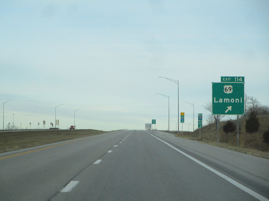
Interstate 35 enters into Iowa from Missouri at a diamond interchange to a road running along the state line. That road carries an eastward jog in US Route 69's overall northward path. The interchange leads to Lamoni and it's marked "Exit 114" using Missouri's mileage-based exit numbers:
|
|
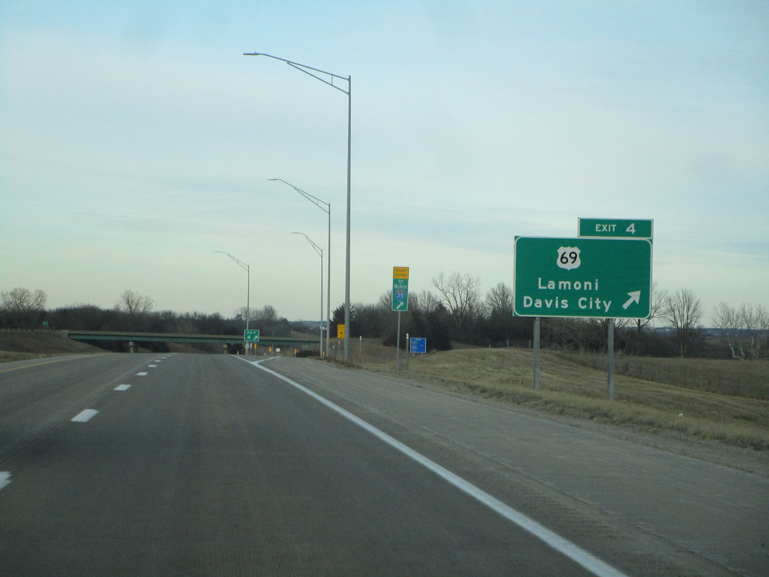
Exit 4 is the first interchange fully within Iowa, and it leads to US Route 69, Lamoni, and Davis City, Iowa:
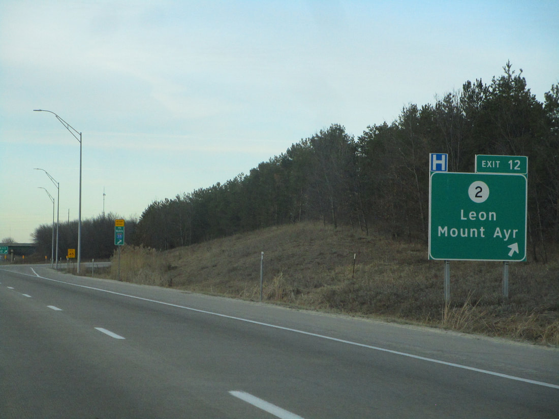
Exit 12 connects with Iowa Route 2, a highway that reaches Leon and Mount Ayr:
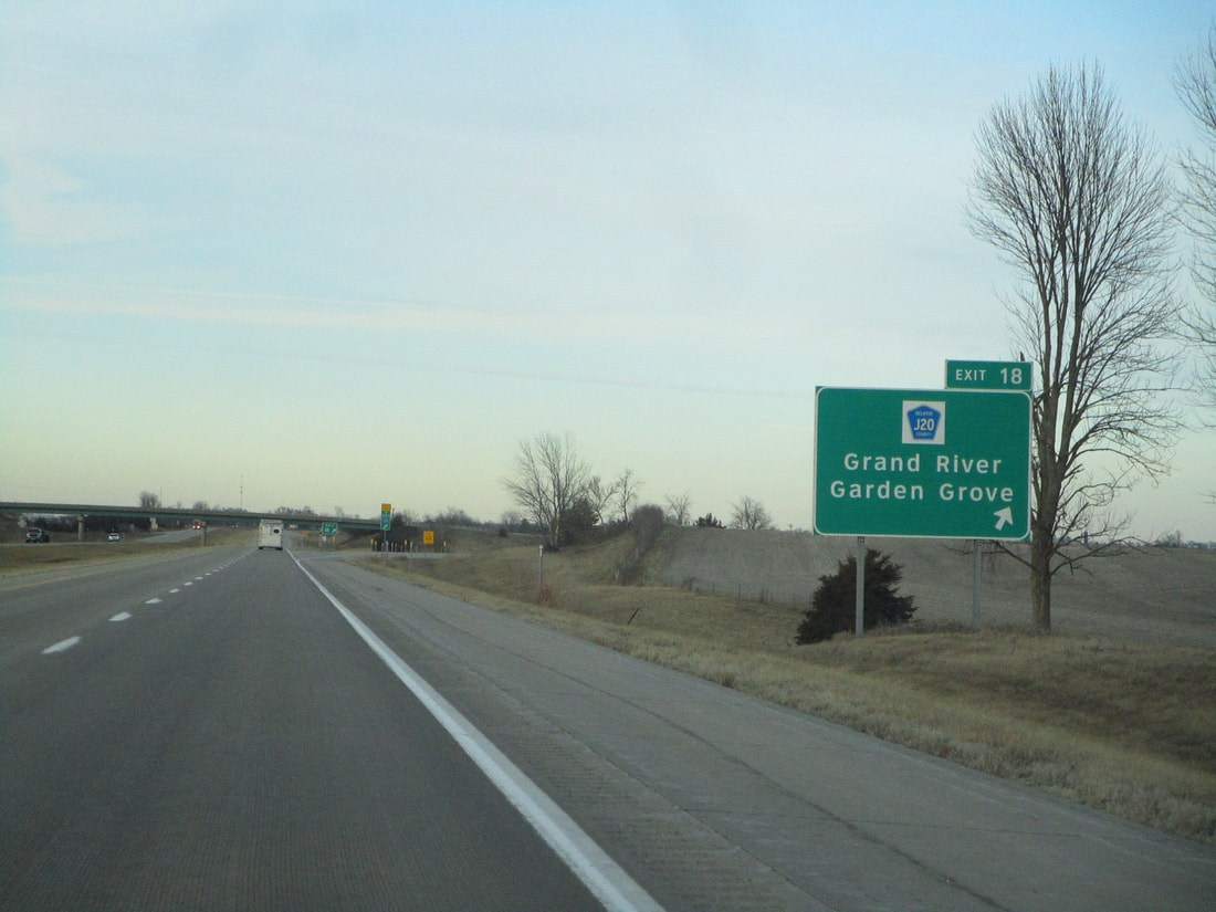
Exit 18 links to County Highway J20, Grand River, and Garden Grove:
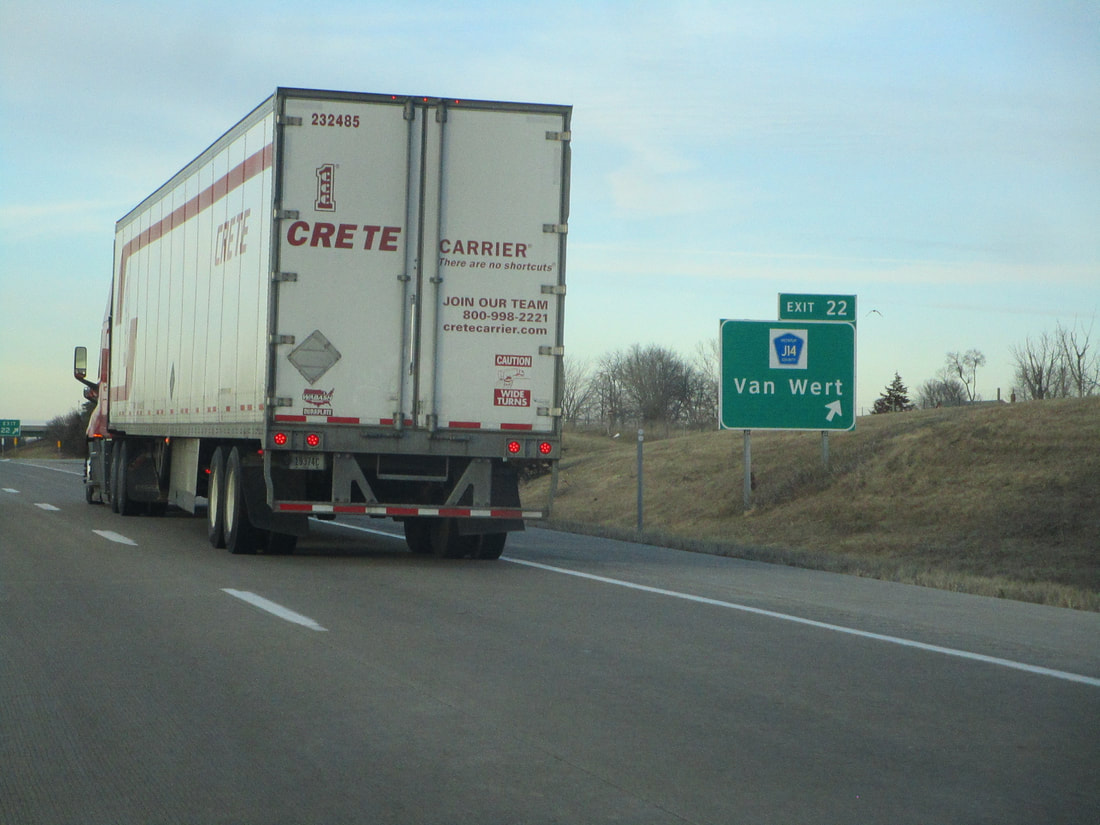
Exit 22 is for County Highway J14 and the town of Van Wert, Iowa:
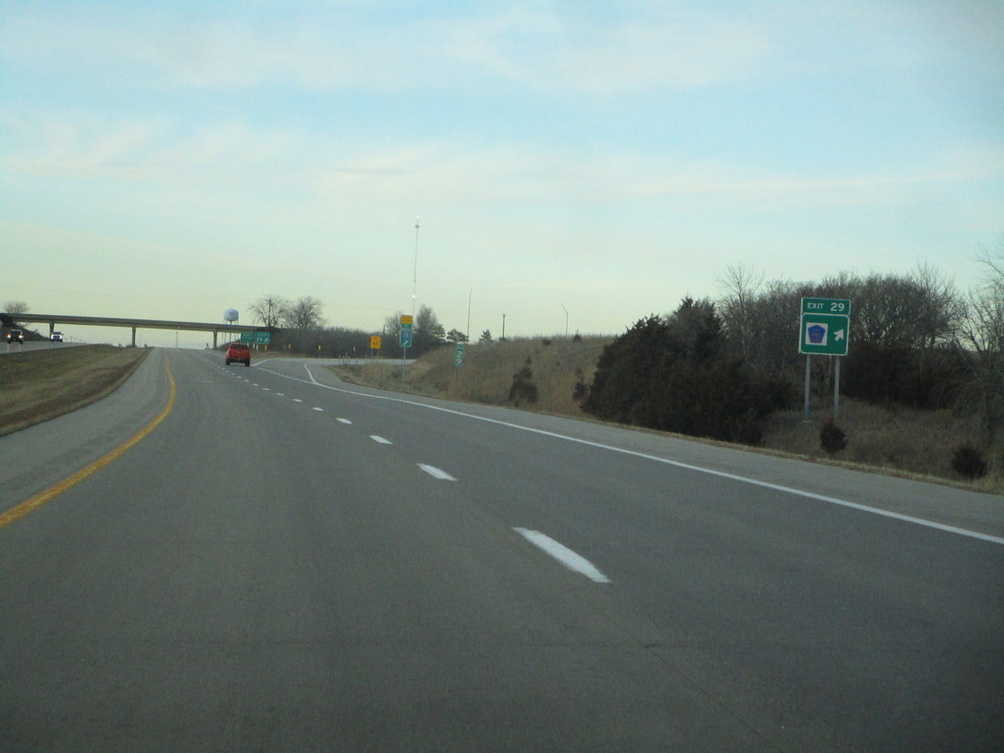
Exit 29 is a lonely interchange connecting with County Highway H45, found south of Osceola:
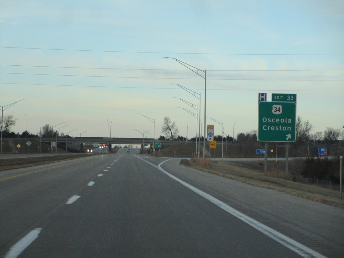
Exit 33 is for US Route 34 at Osceola; Creston is also shown as a control city:
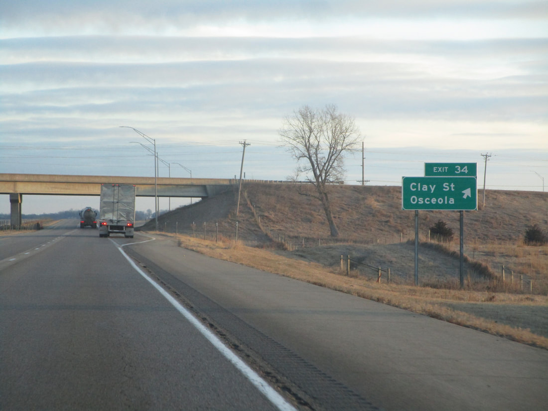
Exit 34 is a second exit to Osceola, linking with Clay Street:
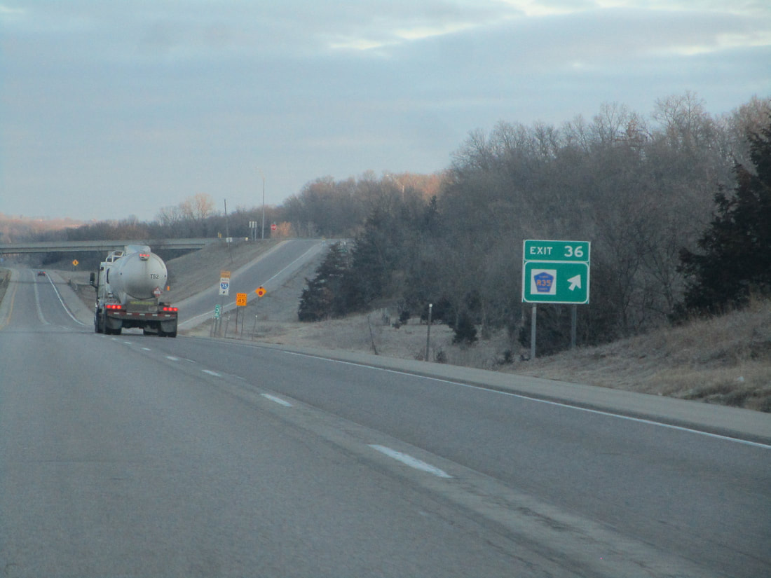
Exit 36 is an interchange for County Highway R35:
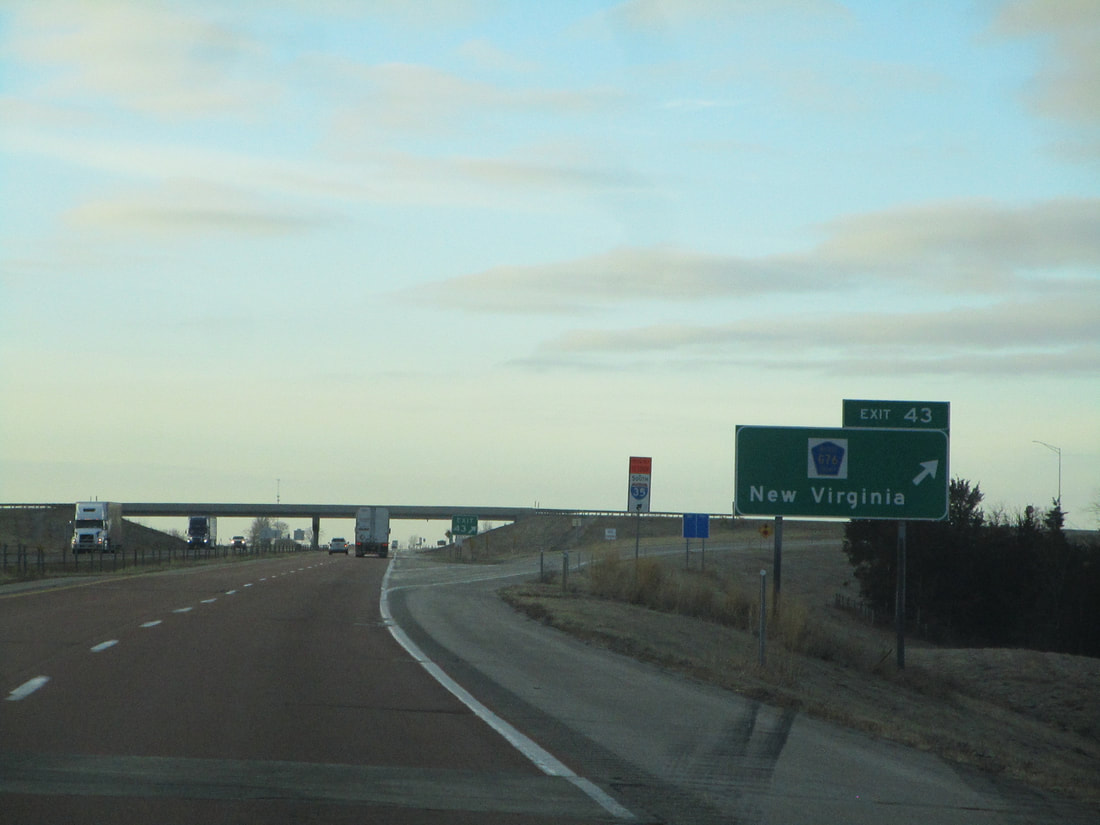
Exit 43 leads to County Highway G76 and New Virginia, Iowa:
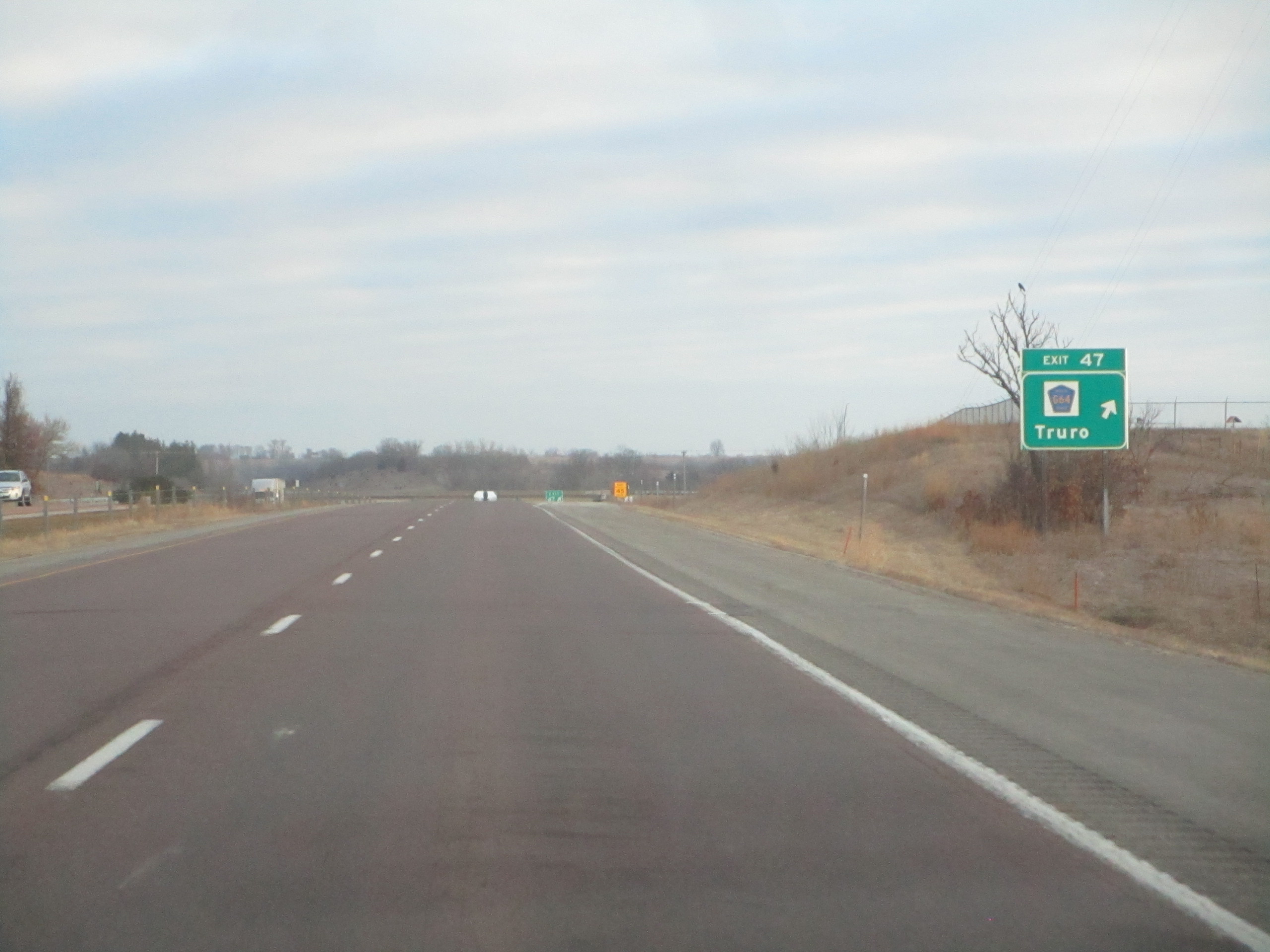
Exit 47 provides a connection to Truro and County Highway G64:
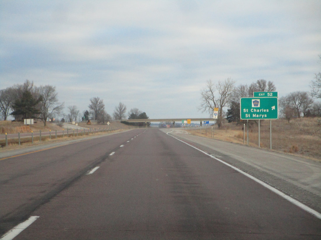
Exit 52 leads to St. Charles, St. Marys, and County Highway G50:
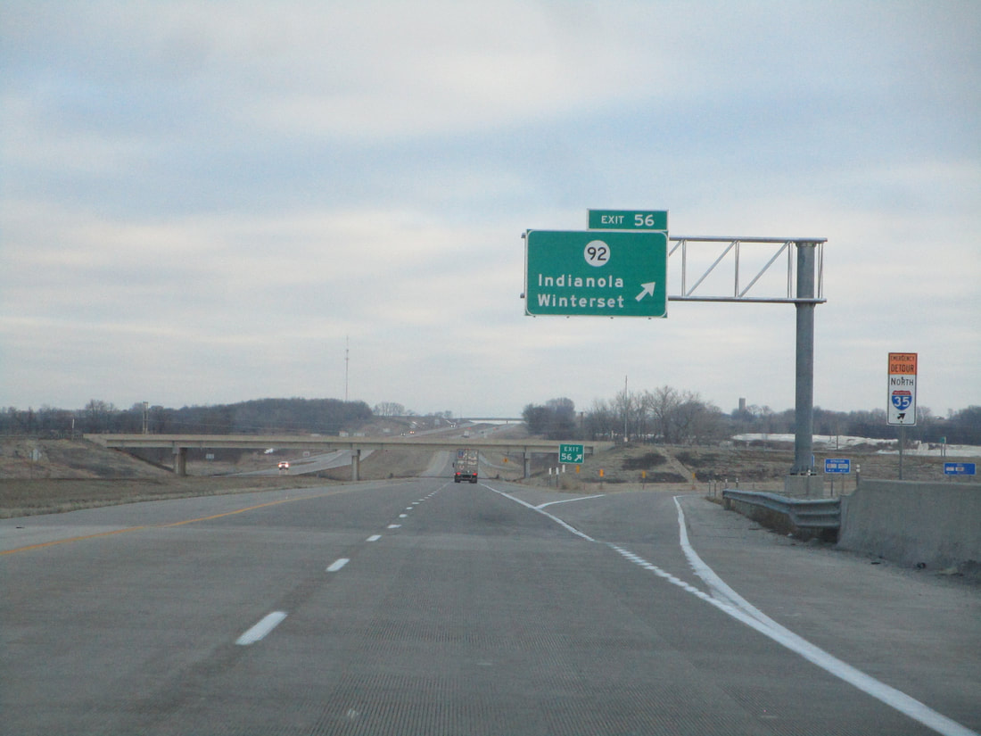
Exit 56 is an interchange for Iowa Route 92, signed as a way to Indianola and Winterset:
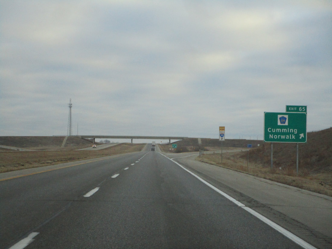
Exit 65 leads to County Highway G14, Cumming, and Norwalk:
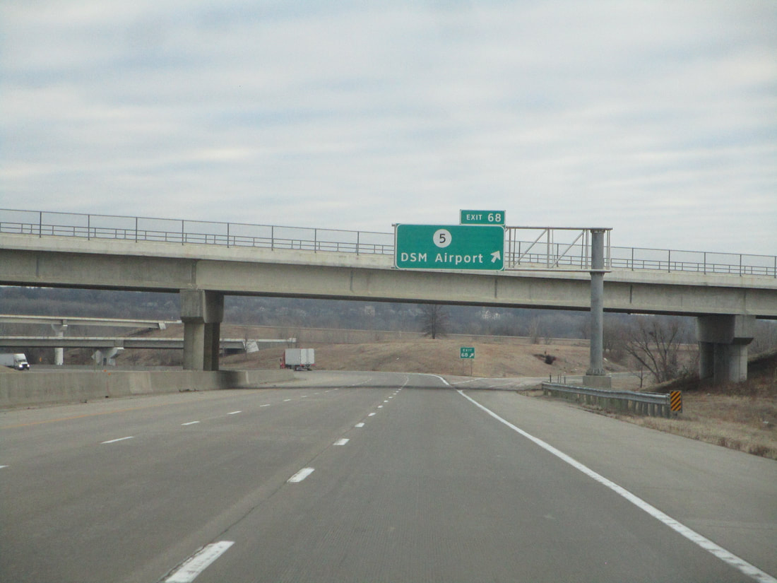
Exit 68 is a broad terminal stack interchange meeting the western end of the Iowa Route 5 freeway, signed as the way to "DSM Airport", as it says on the sign:
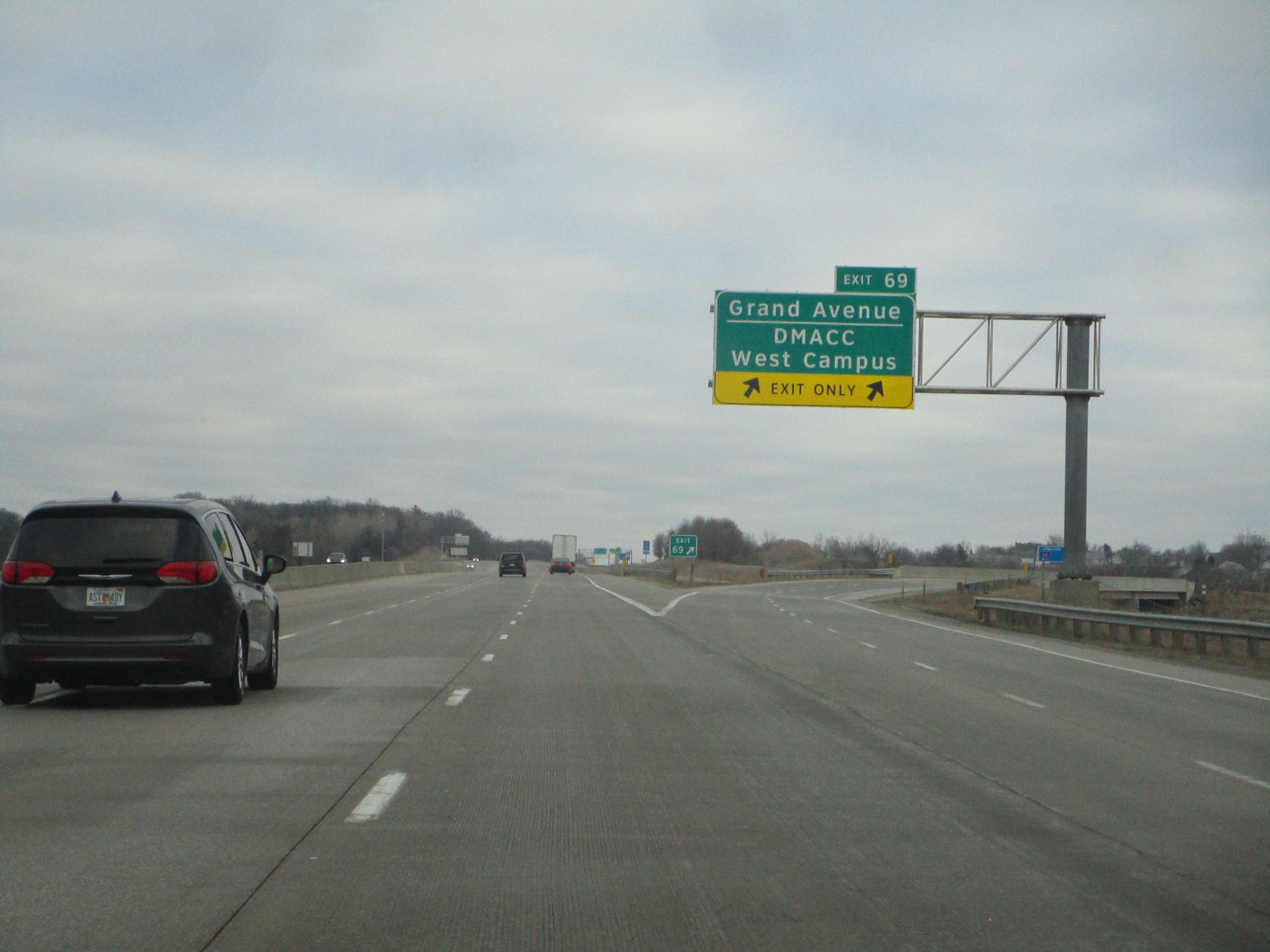
Exit 69 helps travelers to reach Grand Avenue and the DMACC West Campus:
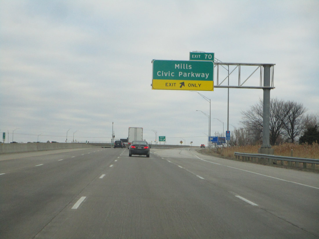
Exit 70, in suburban Des Moines, reaches Mills Civic Parkway:
Exit 72A is the first half of an interchange involving Interstate 80's western continuation and with Interstate 235's point of origin. Interstate 235 points east toward downtown Des Moines, and Interstate 80 joins Interstate 35 toward the north and east. This first exit leads to Interstate 235 east:
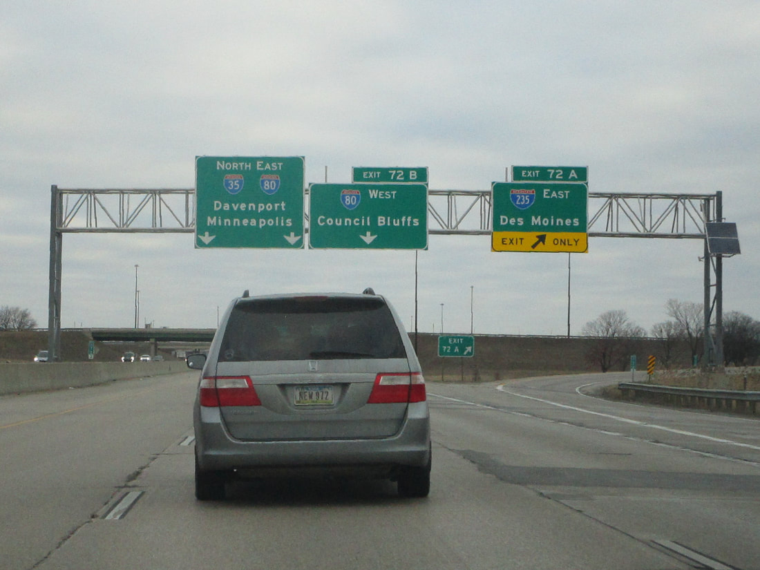
Exit 72B is the second half of the interchange, linking with Interstate 80's western continuation toward Council Bluffs:
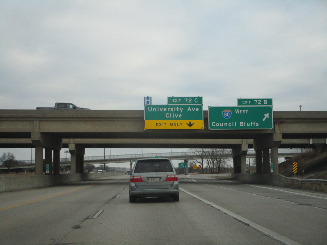
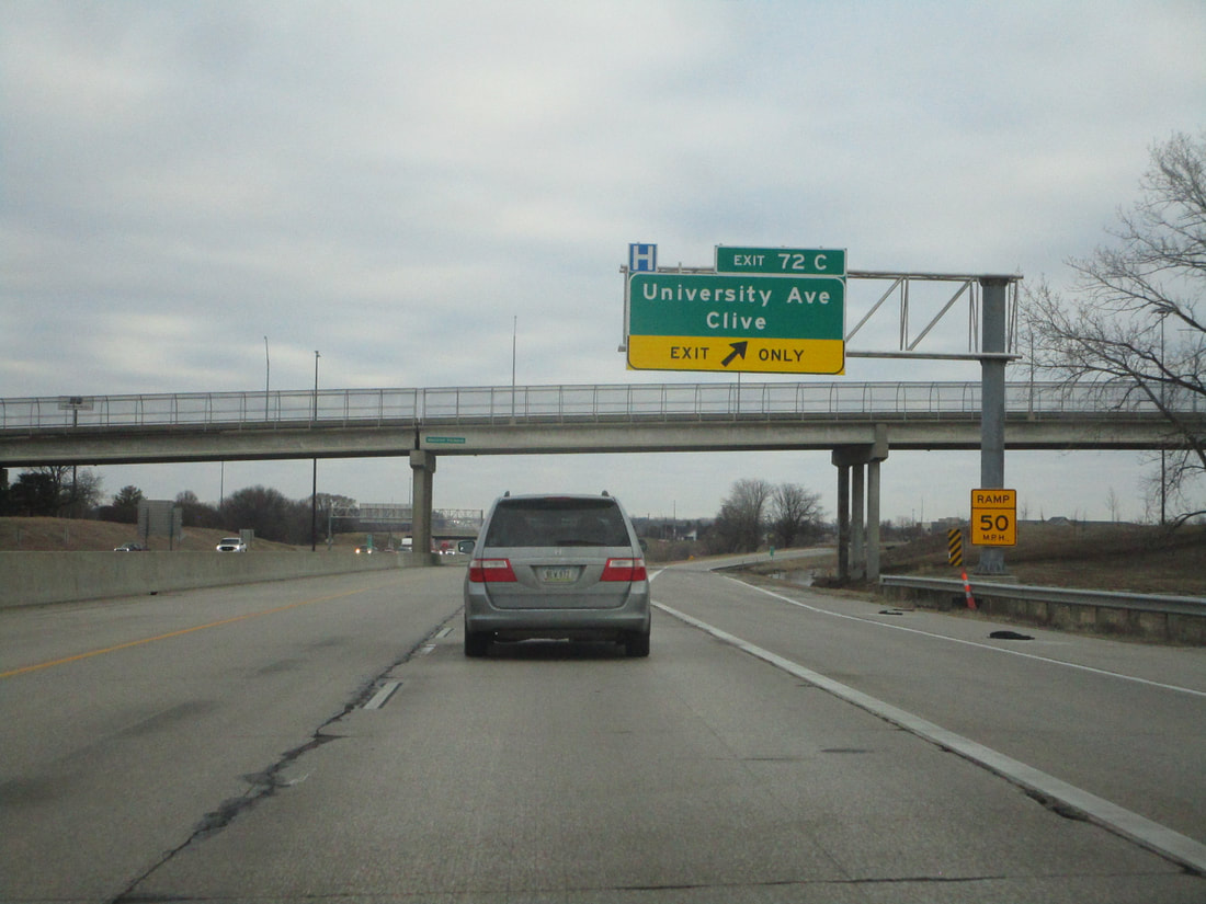
Exit 72C is a half-folded diamond leading to University Avenue in Clive:
Since the exits along Interstate 35's concurrency with Interstate 80 are marked with Interstate 80's exit numbers, you can find information on those exits on Iowa's Interstate 80 page.
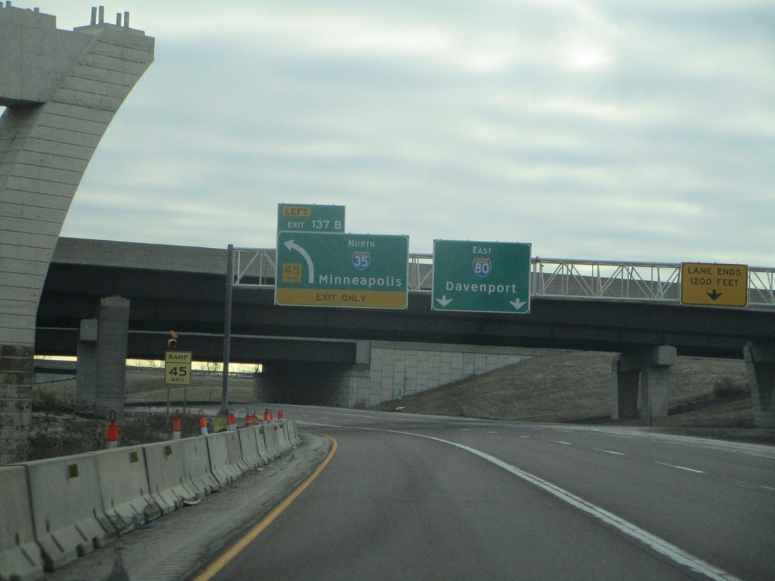
The exit marked 137B hosts the departure from Interstate 80, at the interchange also home to the northeastern end of Interstate 235. This is on the northeast side of Des Moines:
The exit marked 137B hosts the departure from Interstate 80, at the interchange also home to the northeastern end of Interstate 235. This is on the northeast side of Des Moines:
Exit 89 leads to Corporate Woods Drive, as Interstate 35 gets into the Ankeny area:
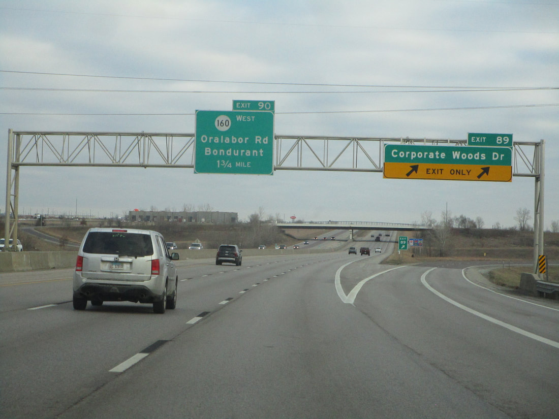
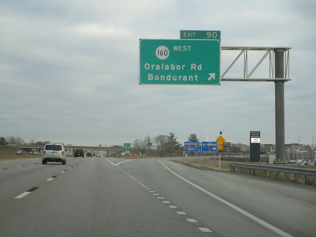
Exit 90 meets the eastern end of Iowa Route 160, as well as Oralabor Road and Bondurant:
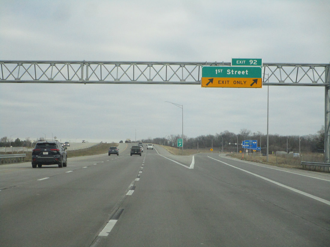
Exit 92 connects with 1st Street in Ankeny:
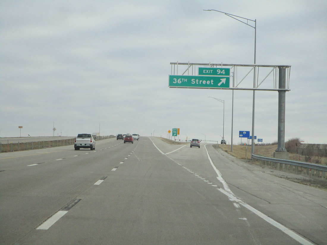
Exit 94 is for 36th Street in Ankeny:
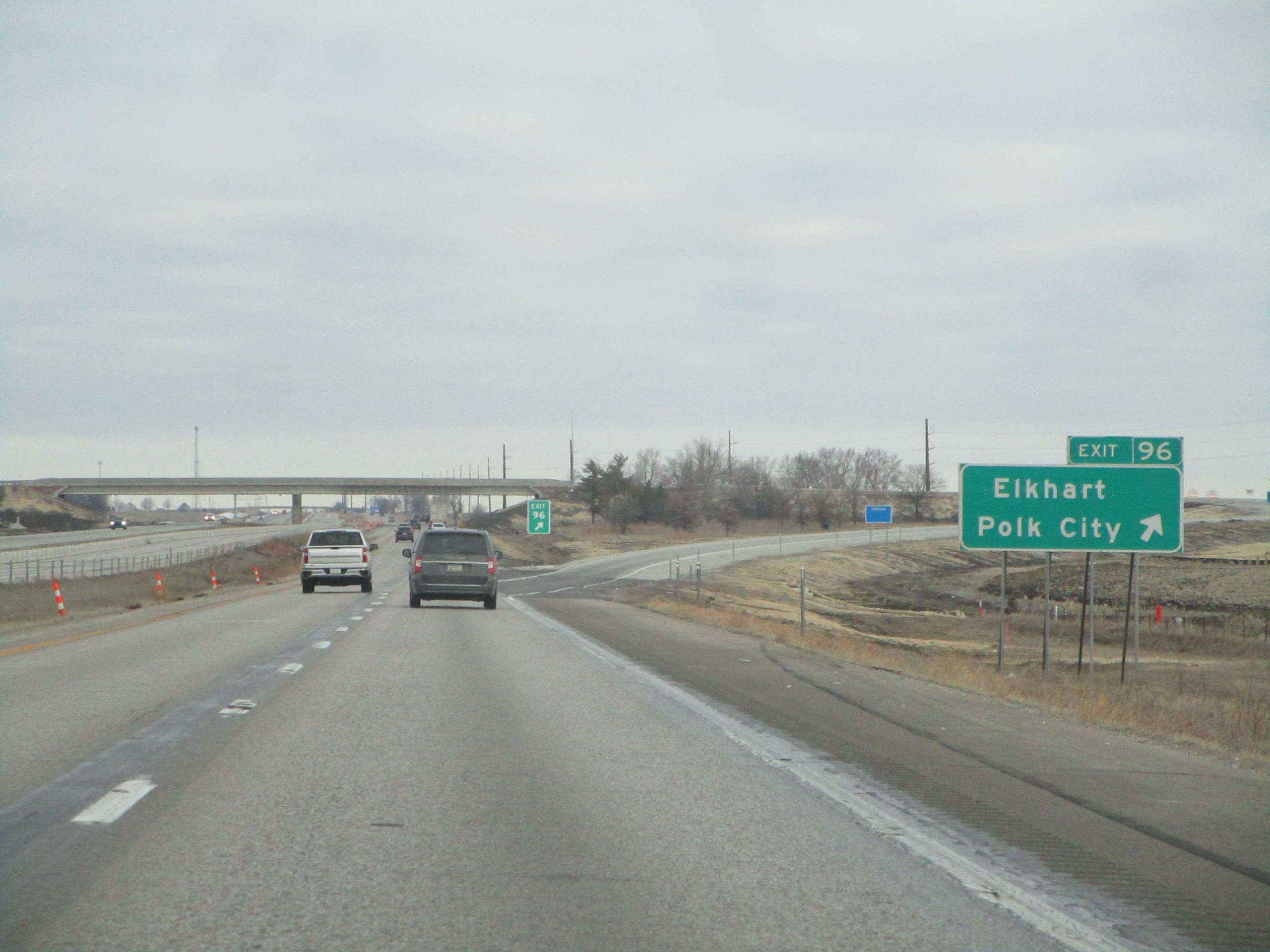
Exit 96 is signed as the way to Elkhart and Polk City:
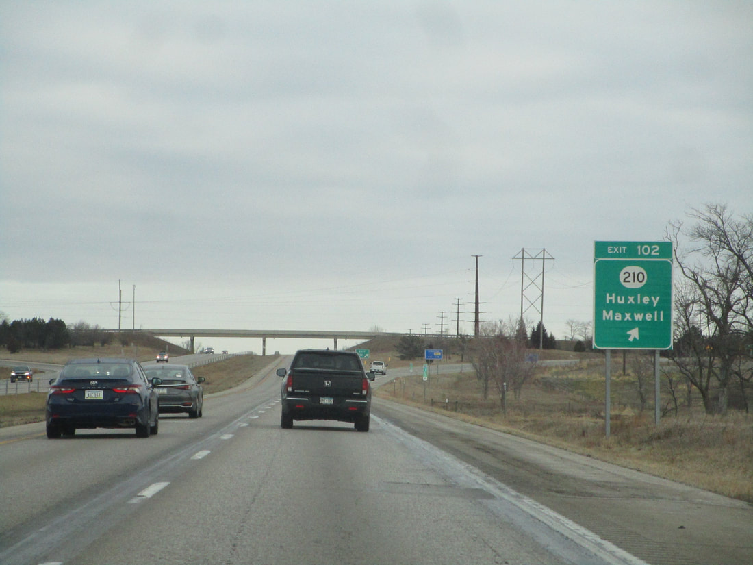
Exit 102 leads to Iowa Route 210, which is signed as the wat to Huxley and Maxwell:
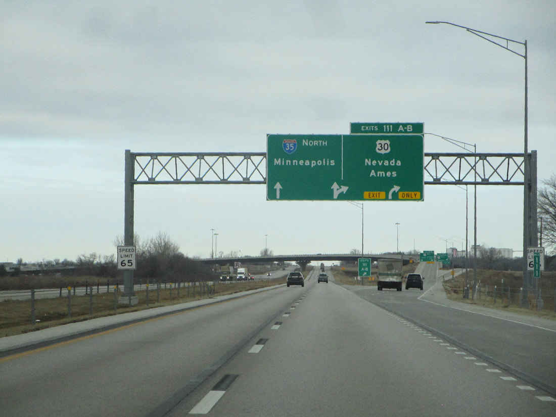
Exit 111 is the access to a cloverleaf interchange with US Route 30, signed as the way to Nevada and Ames:
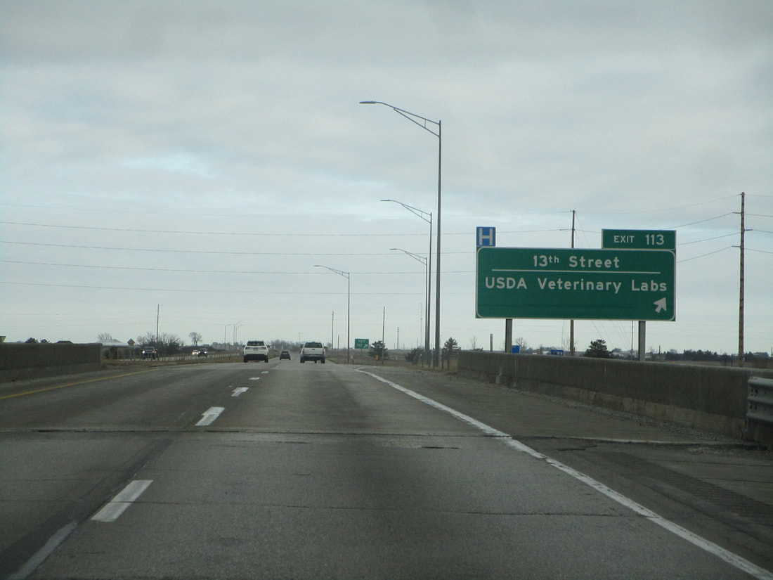
Exit 113, in Ames, leads to 13th Street and the USDA Veterinary Labs:
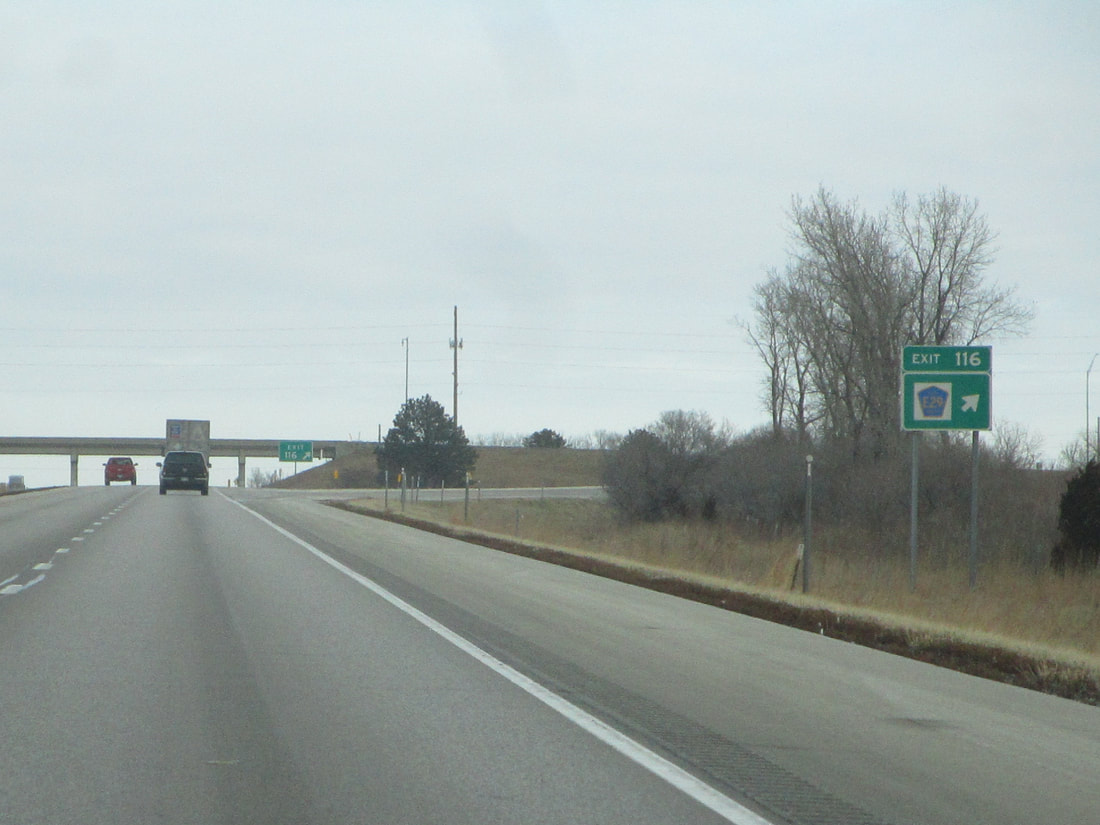
Exit 116, north of Ames, connects with County Highway E29:
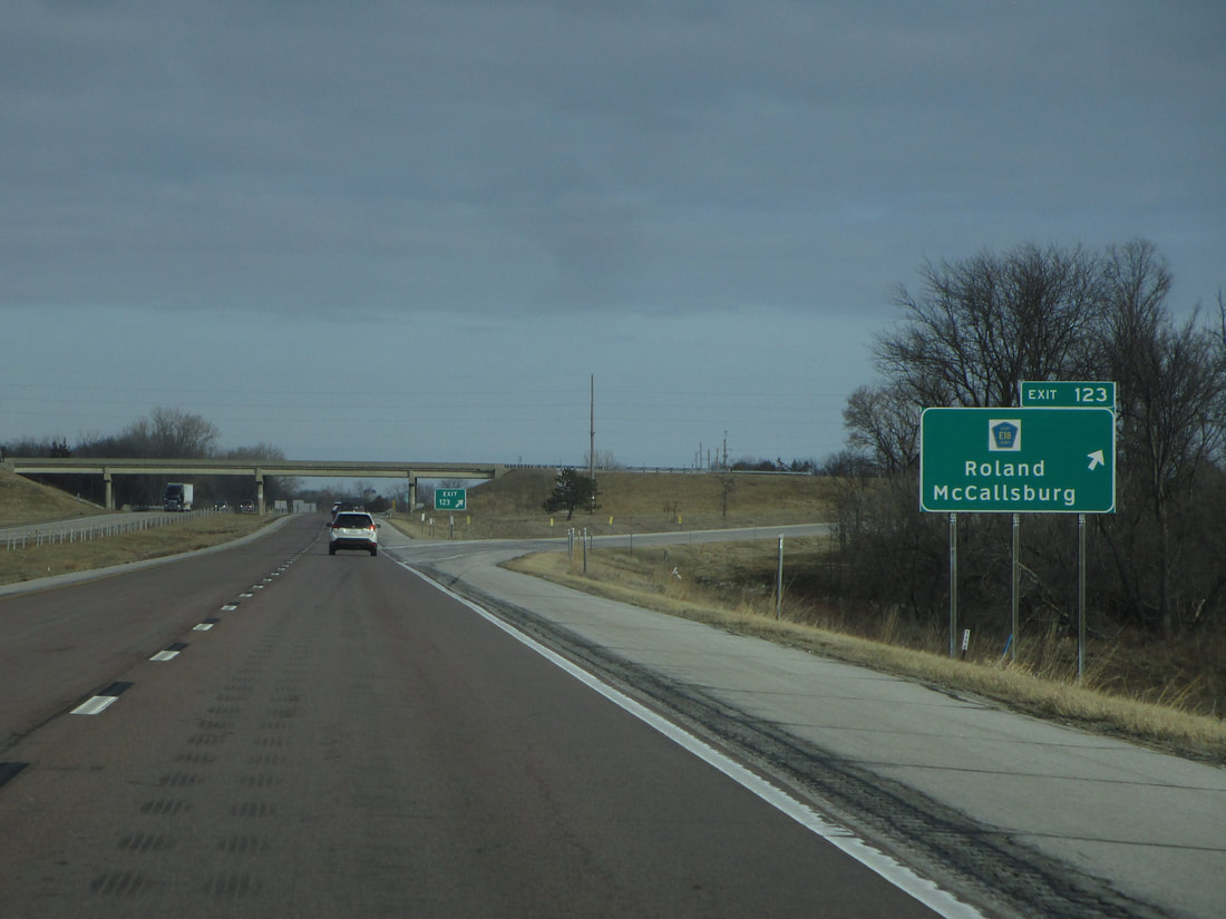
Exit 123 is for County Highway E18, Roland, and McCallsburg:
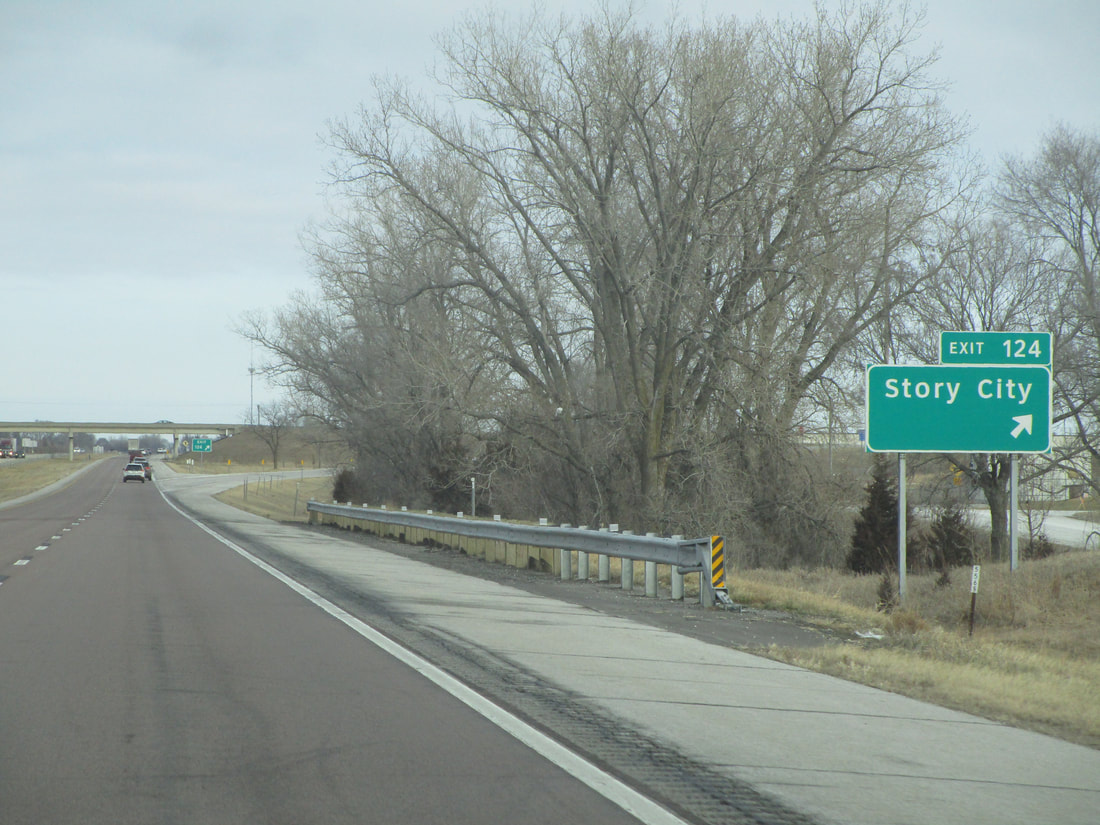
Exit 124 is an interchange where the signage simply calls out the town of Story City:
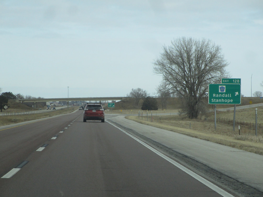
Exit 128 signage lists Randall and Stanhope as towns accessed by County Highway D65:
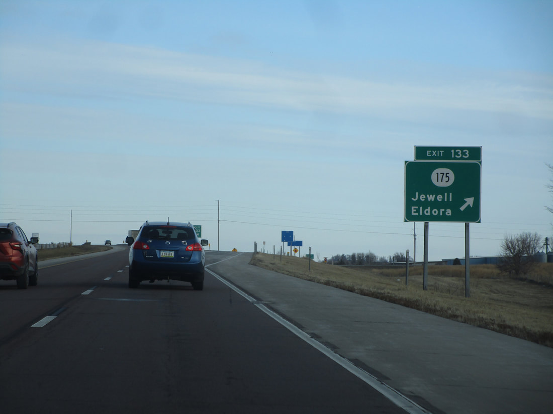
Exit 133 is for Iowa Route 175, a highway leading to Jewell and Eldora:
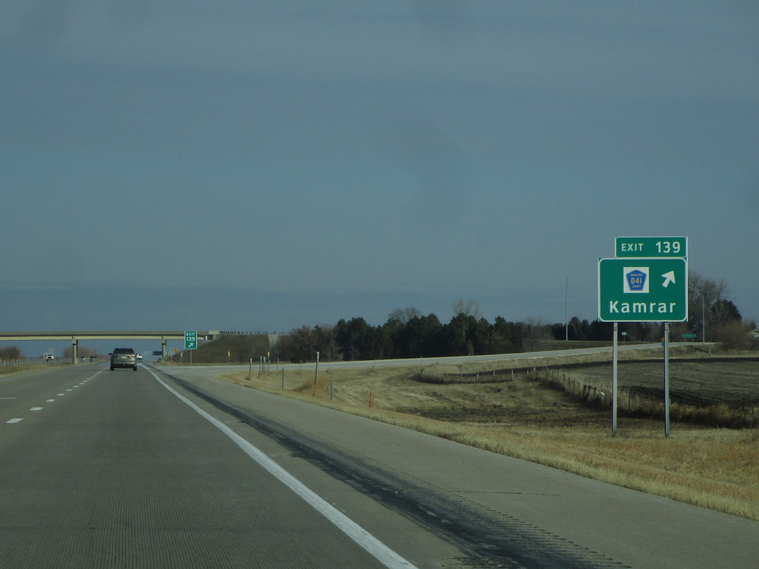
Exit 139 provides access to County Highway D41 and the village of Kamrar:
Exit 142A is the first half of an interchange between two freeways in the middle of nowhere. This first ramp to US Route 20 carries travelers eastward toward Waterloo:
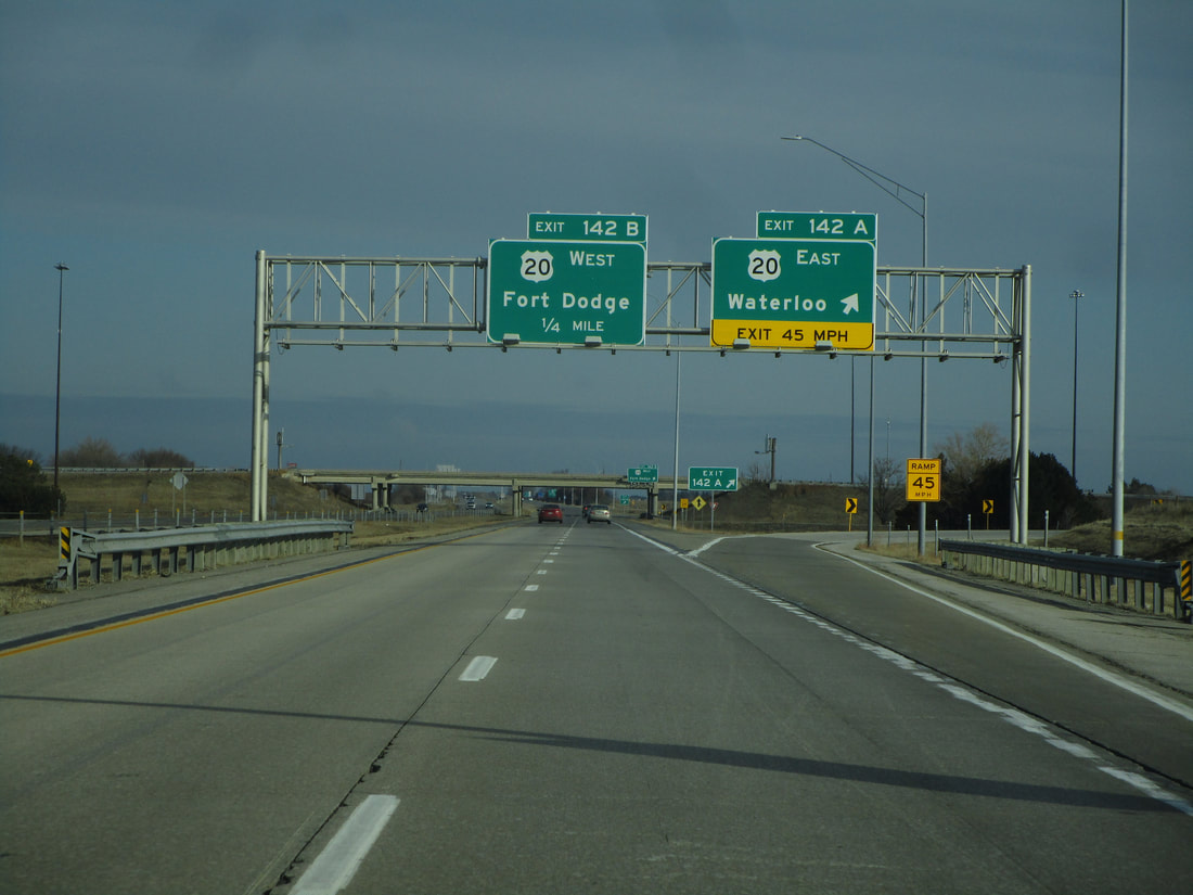
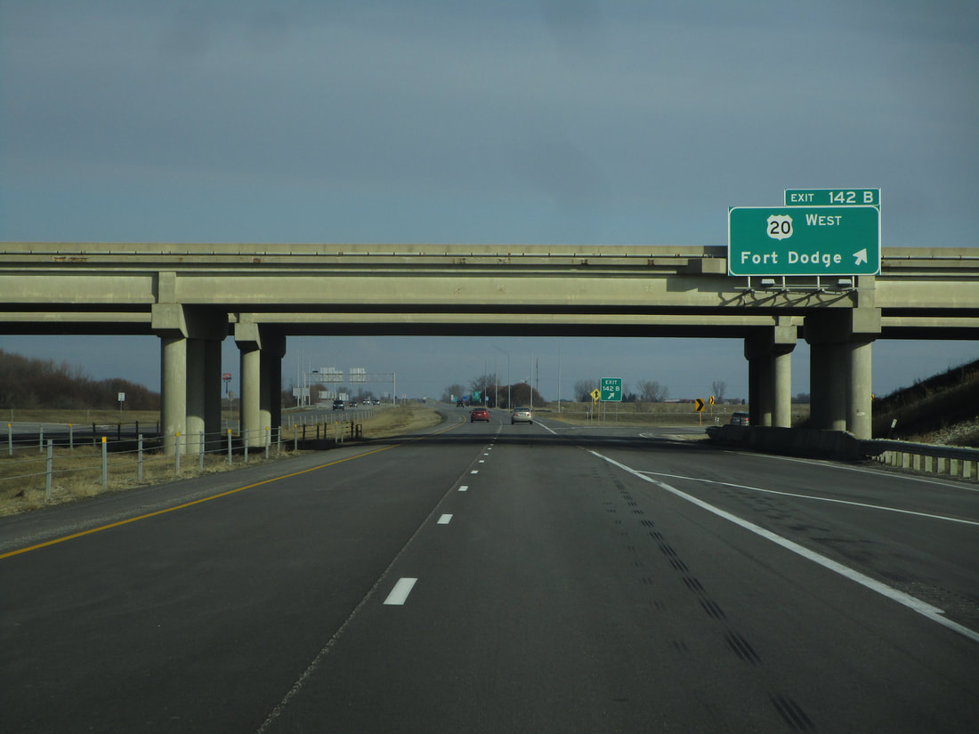
Exit 142B, the second ramp to US Route 20, orients travelers westward toward Fort Dodge:
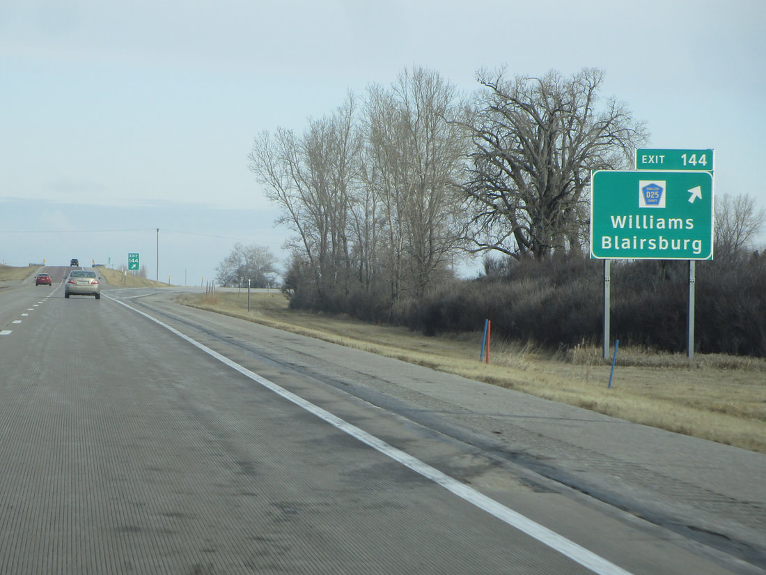
Exit 144 is an interchange with County Highway D25, shown as the way to reach Williams and Blairsburg:
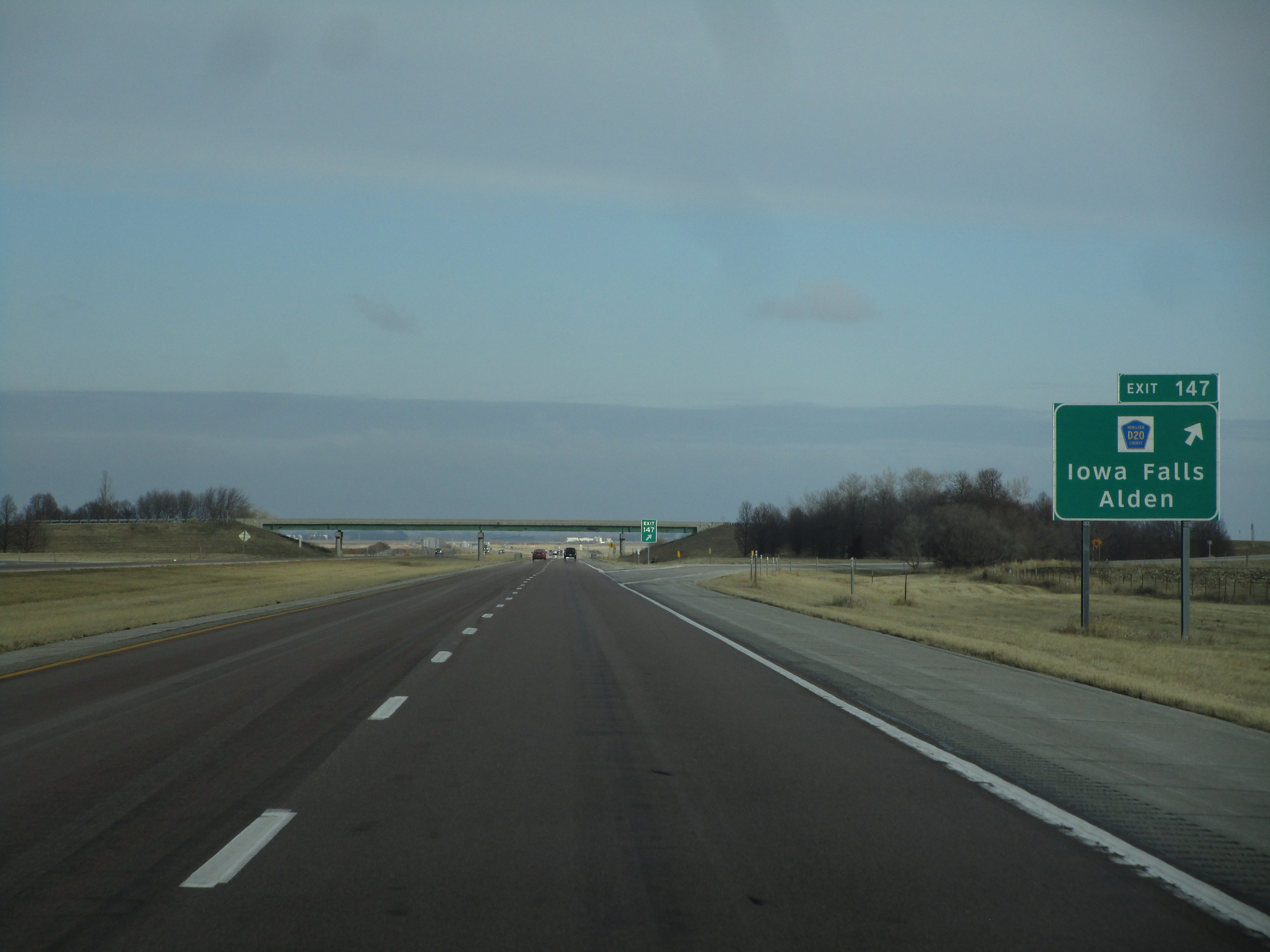
Exit 149 connects with Iowa Falls and Alden by way of County Highway D20:
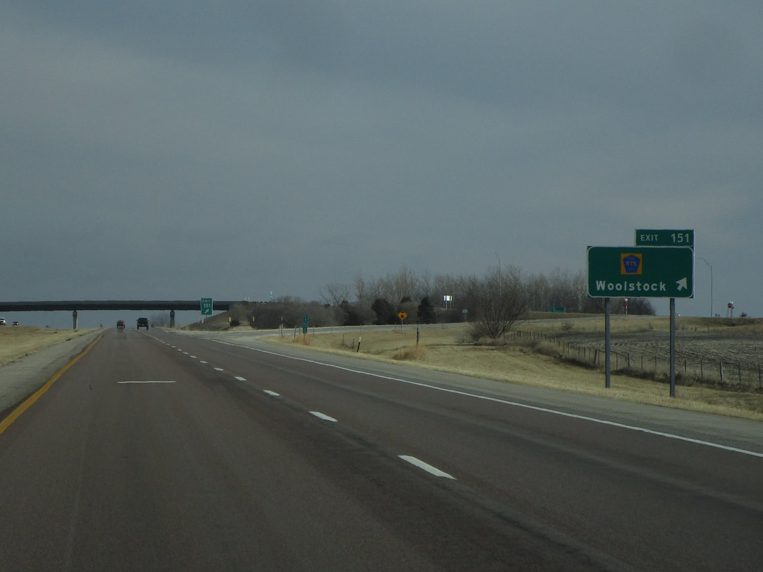
Exit 151 leads to County Highway N75 and Woolstock:
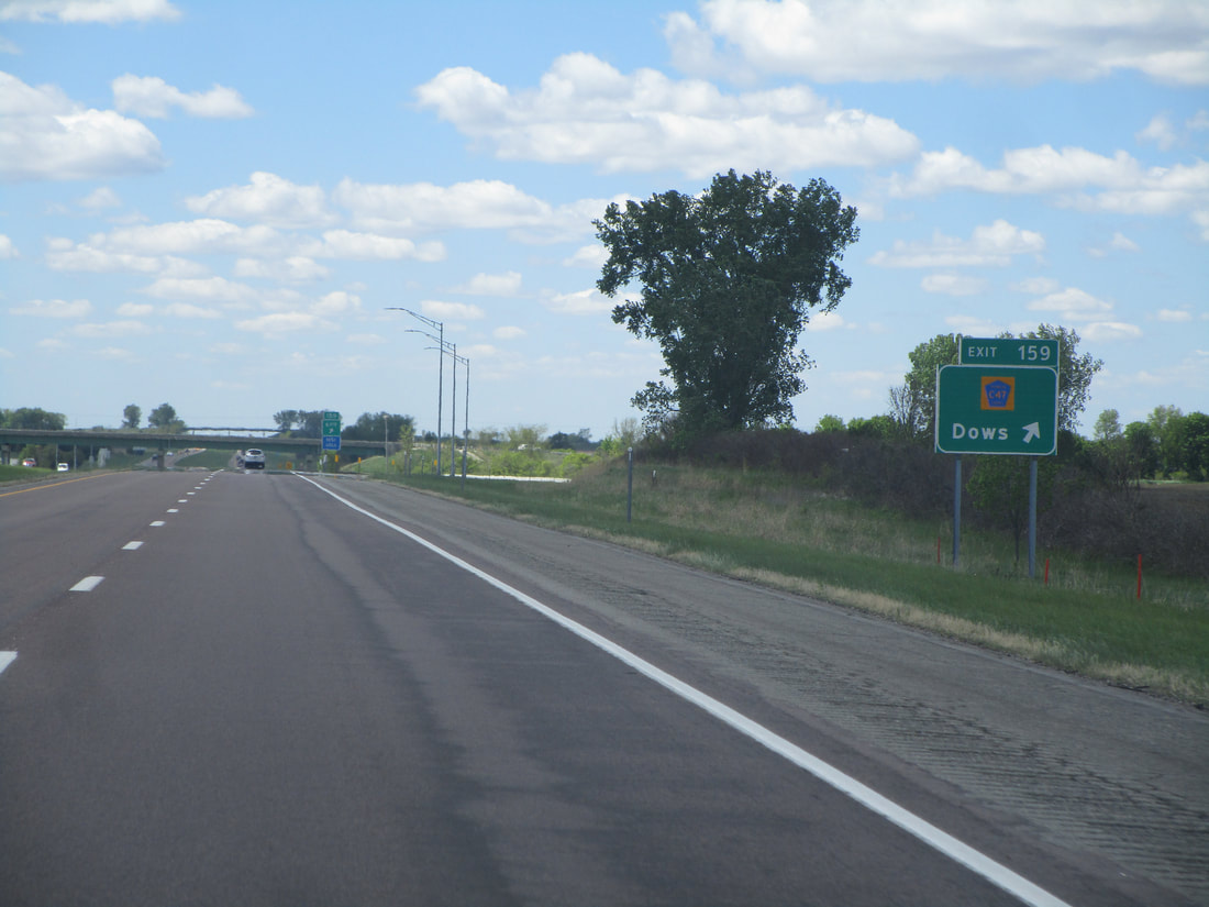
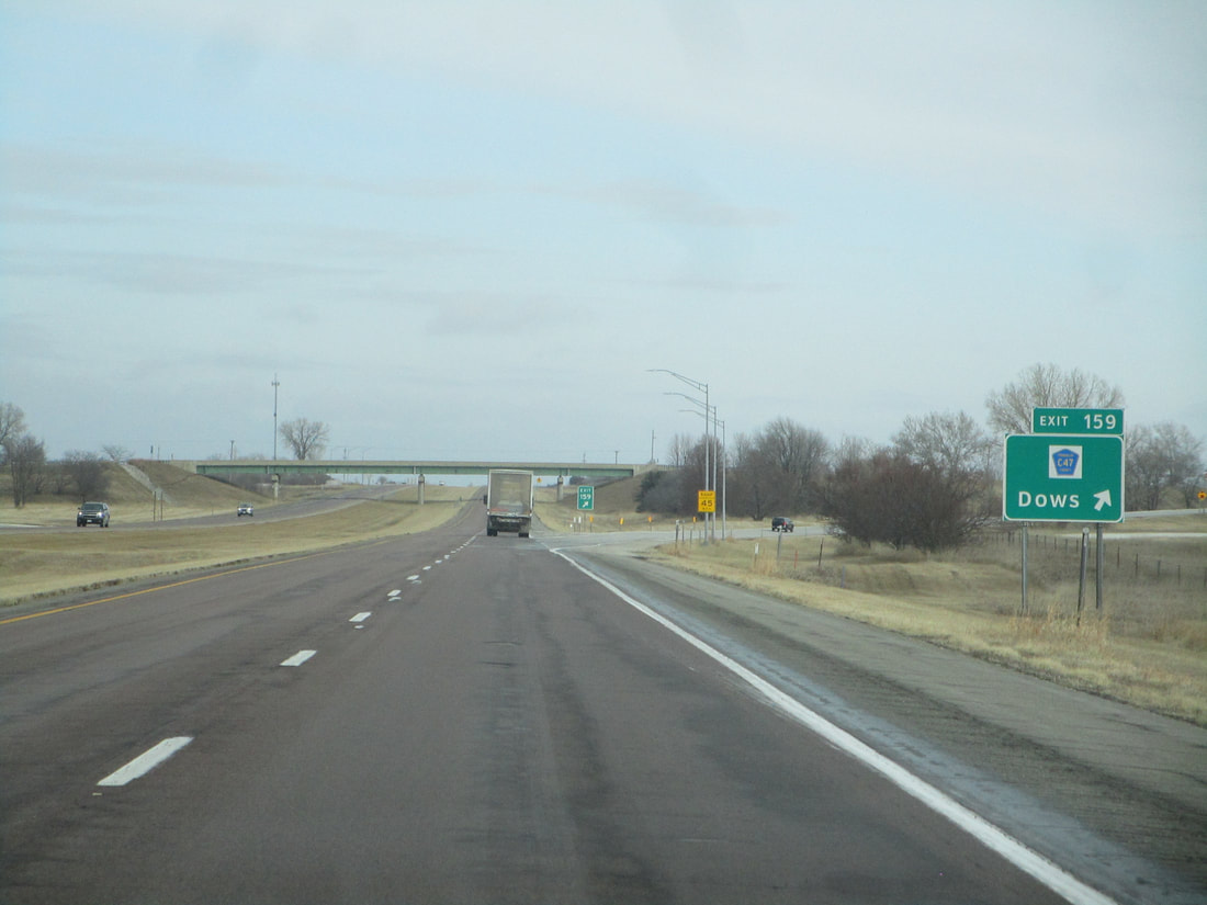
Exit 159 reaches County Highway C47 and Dows:
|
|
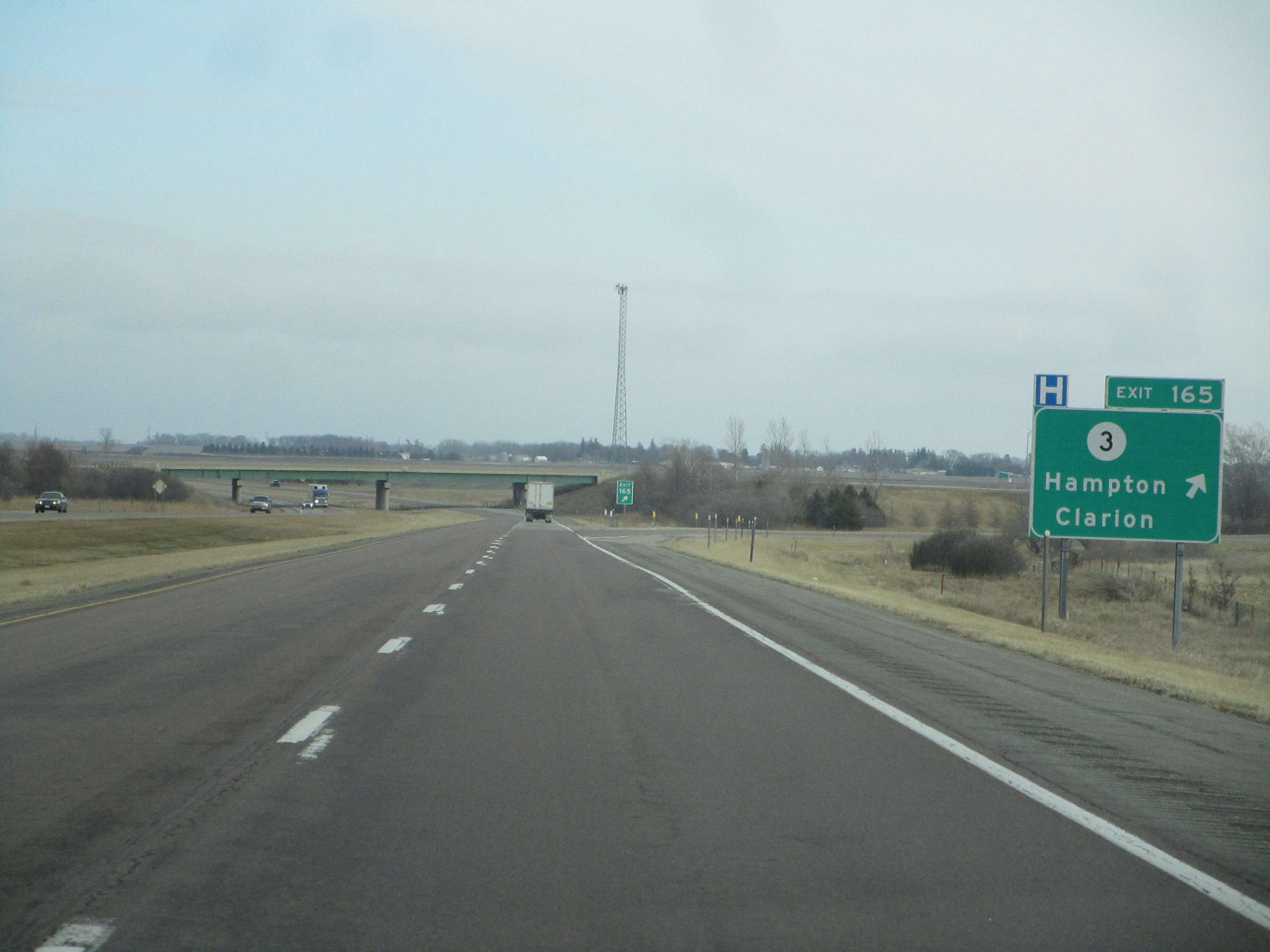
Exit 165 is for Iowa Highway 3, signed as the way to Hampton and Clarion:
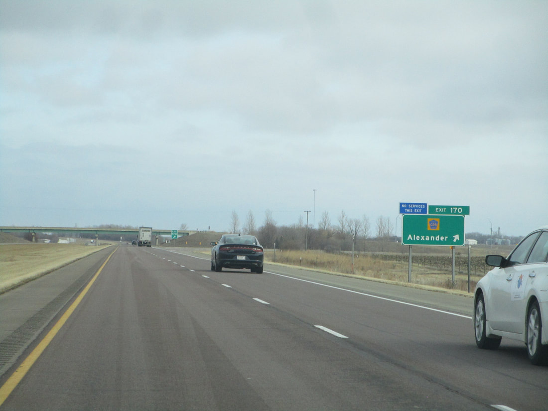
Exit 170 connects with County Highway C25, a road that reaches Alexander:
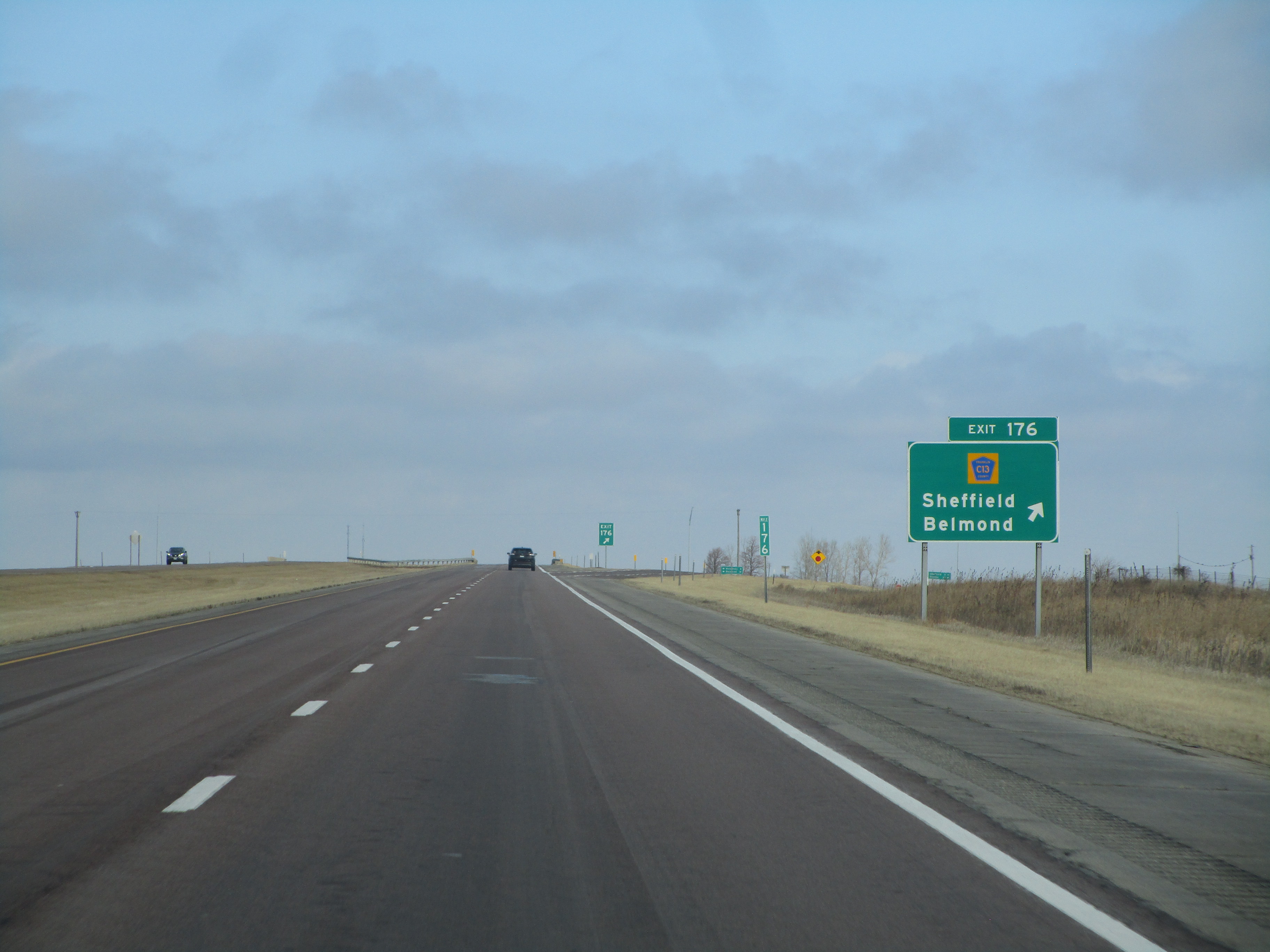
Exit 176 leads to Sheffield and Belmond by way to County Highway C13:
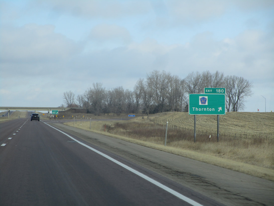
Exit 180 is for County Highway B65 and Thornton:
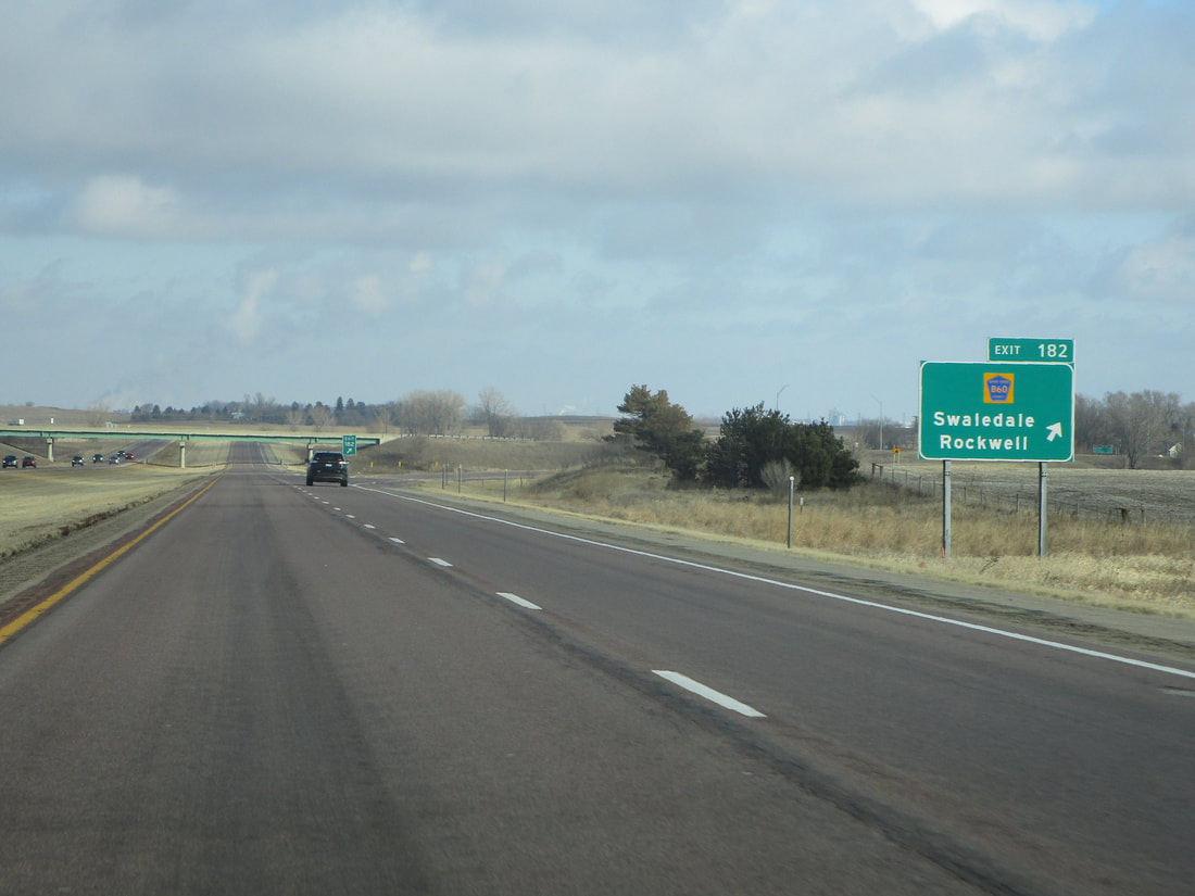
Exit 182 is an interchange with County Highway B60, signed as the way to Swaledale and Rockwell:
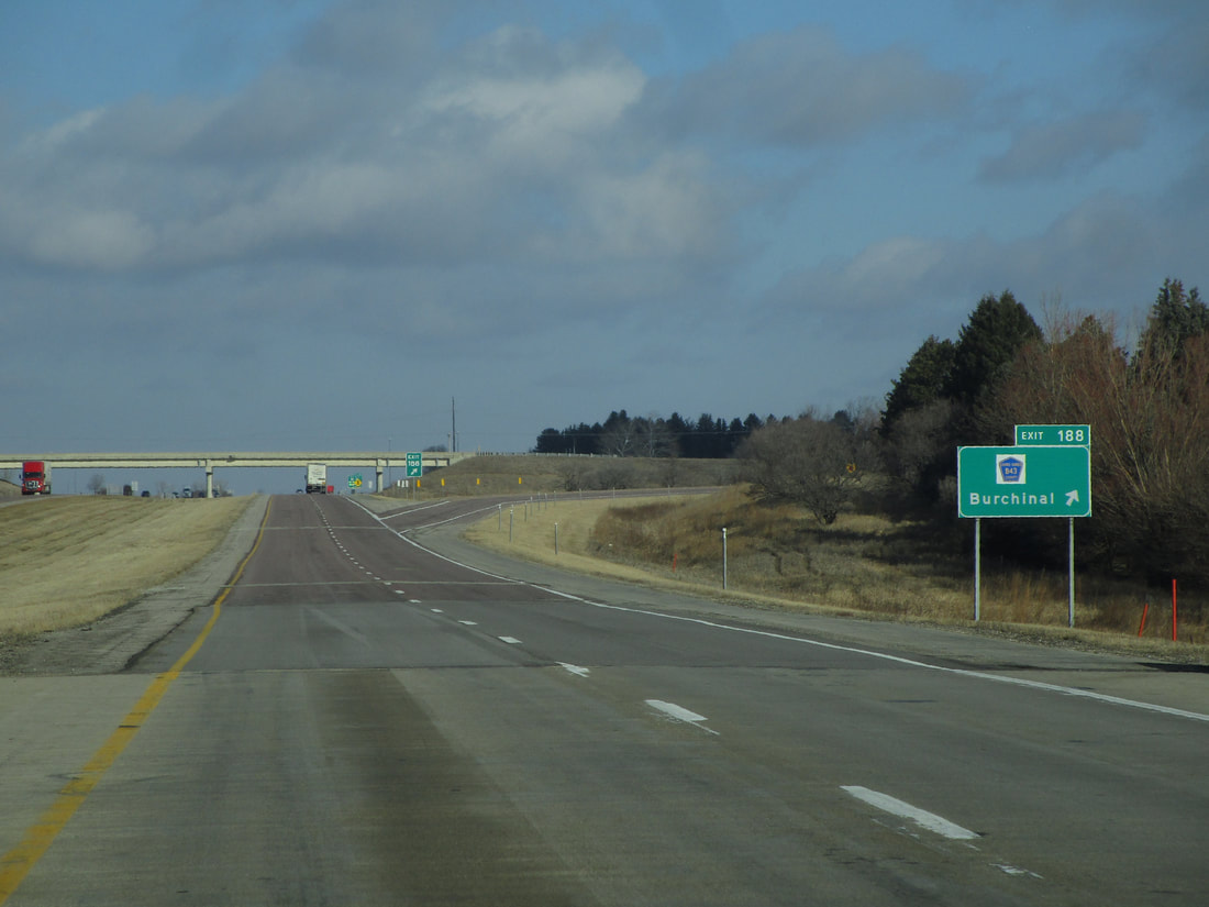
Exit 188 is for Burchinal and County Highway B43:
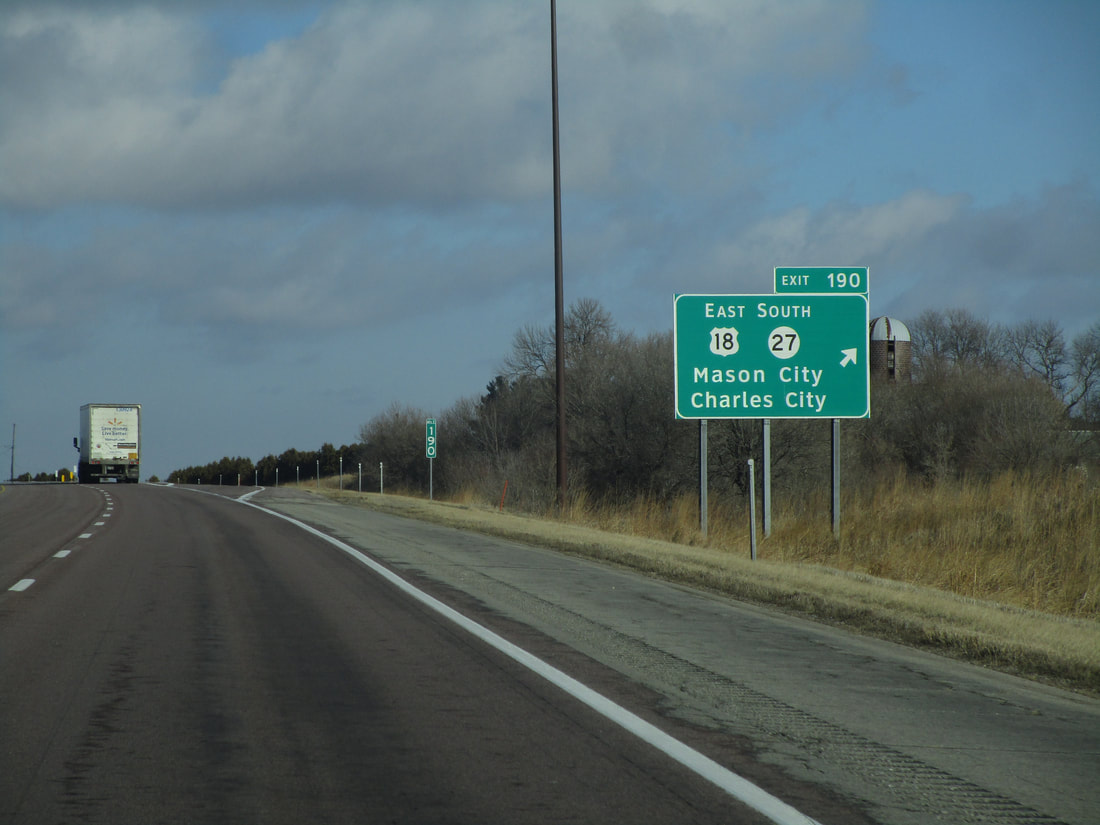
Exit 190 is an interchange with Iowa Route 27, or the Avenue of the Saints, a chain of rural expressways connecting St. Louis to St. Paul. This interchange marks the western end of the east-west portion of the expressway that's concurrent with US Route 18. At this point, both US Route 18 and Iowa Route 27 come from the east to join Interstate 35 north. The ramp here leads to US Route 18 east and Iowa Route 27 south, toward Mason City and Charles City:
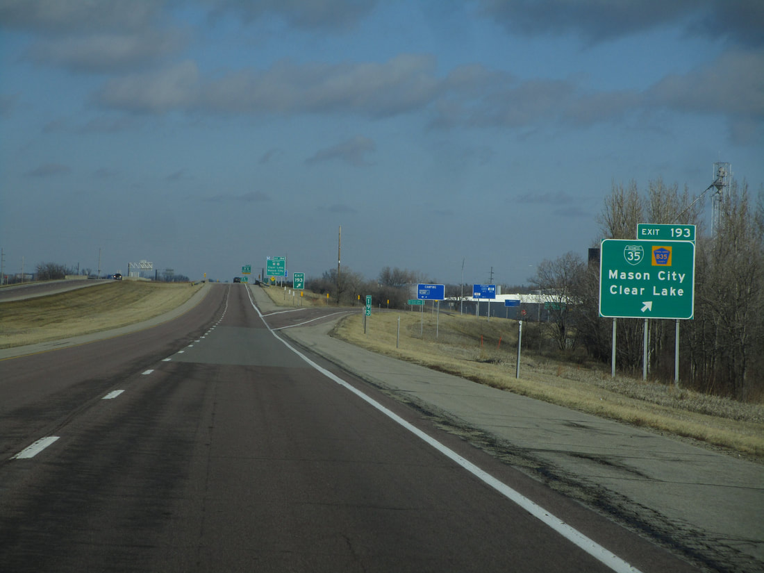
Exit 193 is an interchange with County Highway B35 and the southern beginning of Business Loop 35 through Clear Lake. Mason City is also signed here:
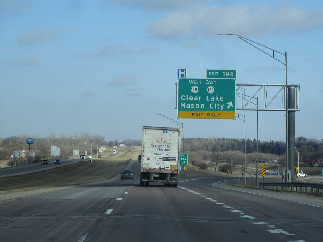
Exit 194 also provides access to Clear Lake and Mason City,
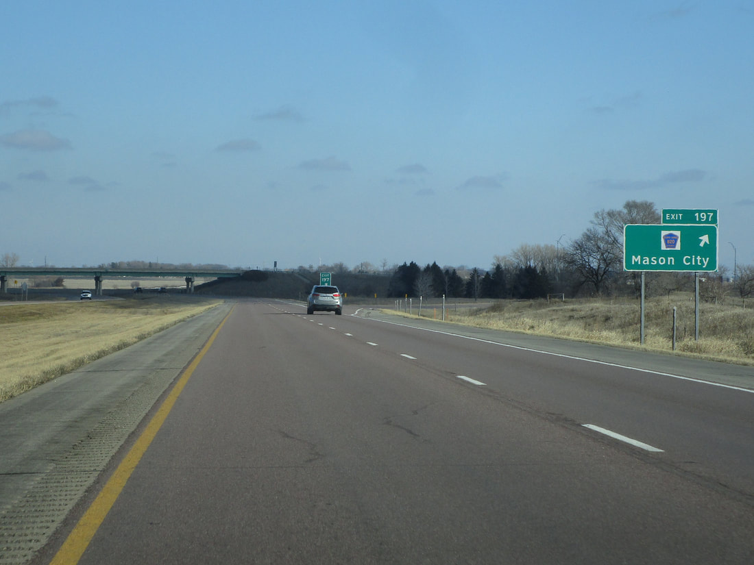
Exit 197 is for County Highway B20, signed as another way to Mason City:
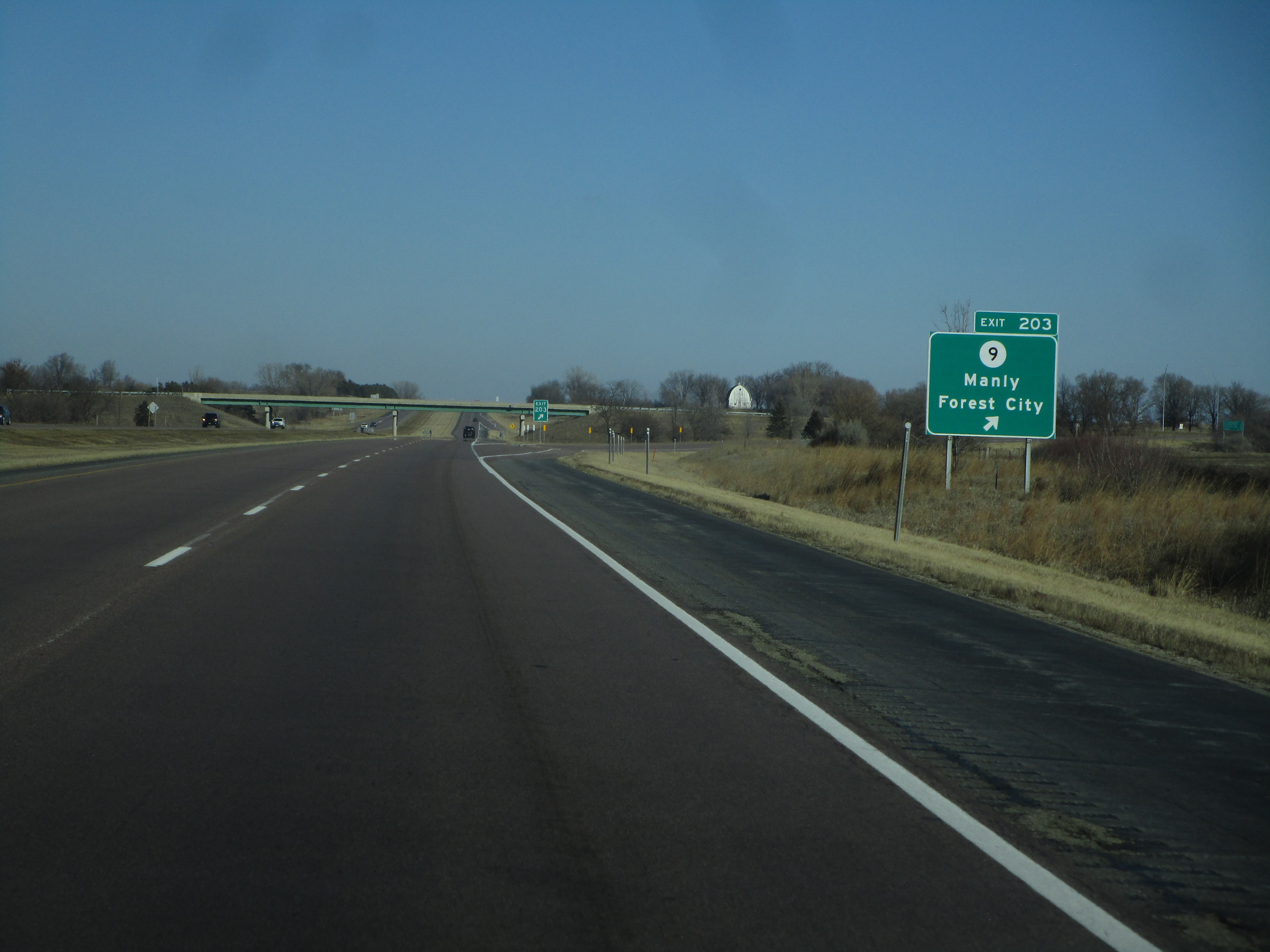
Exit 203 is the interchange with Iowa Route 9, with Manly and Forest City shown as towns that are reachable at this exit:
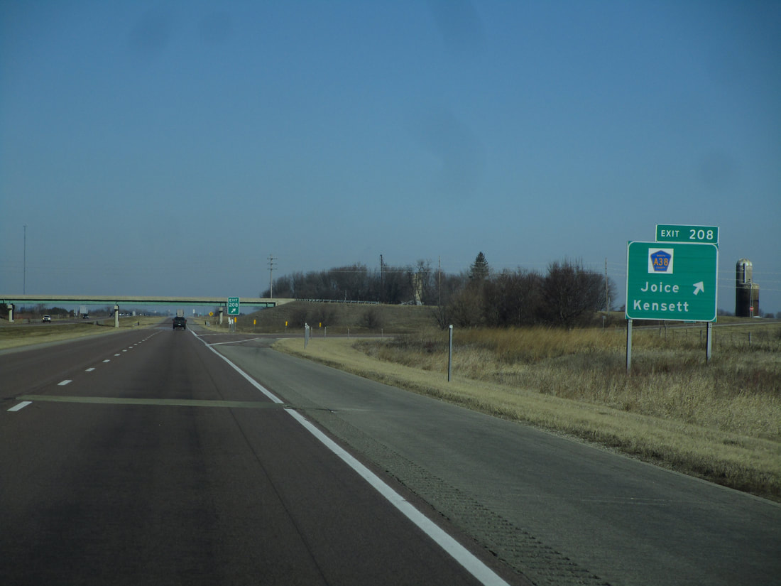
Exit 208 is for County Highway A38, which reaches Joice and Kensett:
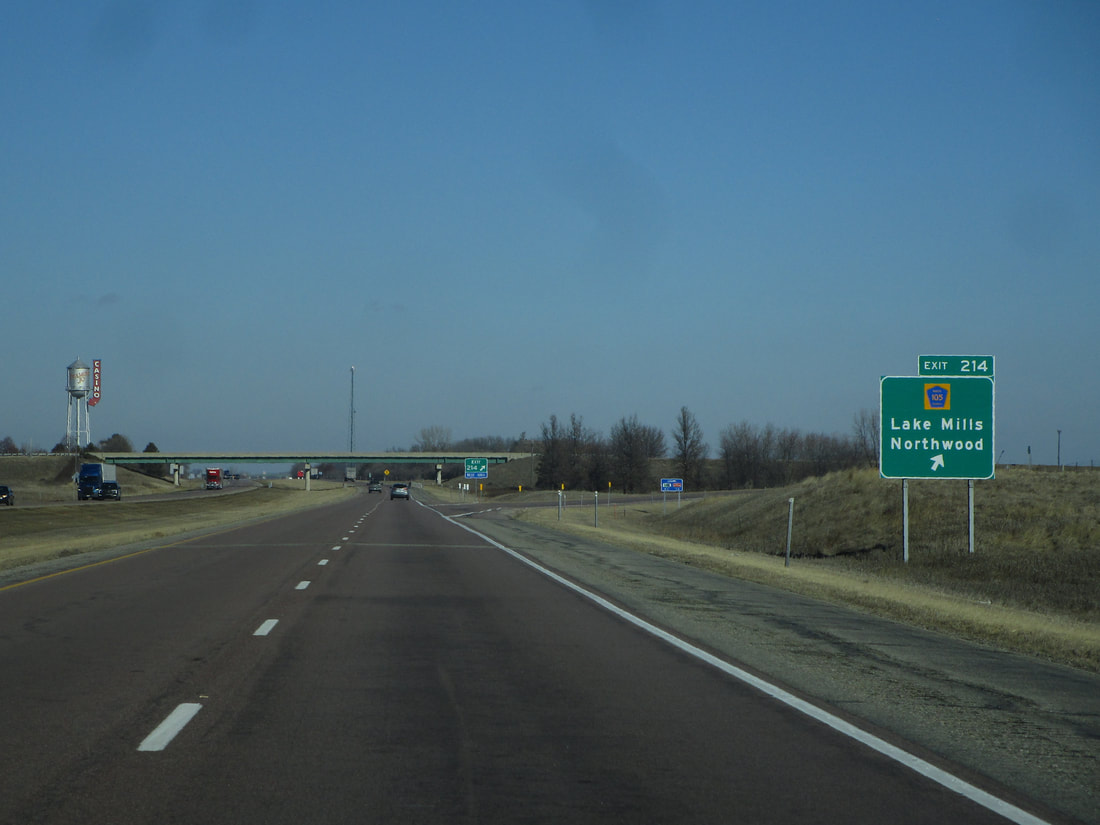
Exit 214 leads to County Highway 105, Lake Mills, and Northwood:
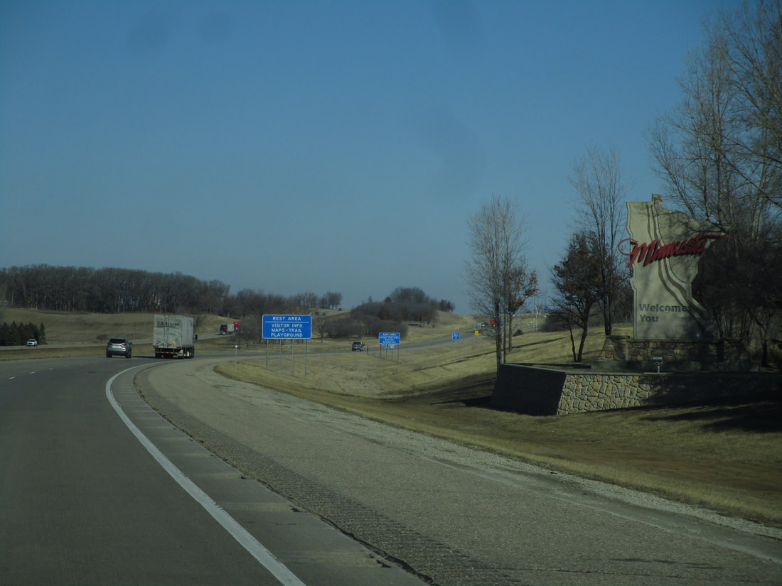
Interstate 35 reaches the Minnesota border after about 217 miles in Iowa. This state border crossing is about 10 miles south of Albert Lea, Minnesota, and Interstate 90. This arrival at the state border marks the northern end of Iowa Route 27.