Ohio State Route 613 runs west from Fostoria to the Indiana state line, through Hancock, Putnam, and Paulding Counties. The eastern beginning occurs as Ohio Route 18 turns westerly off of a northerly course along US Route 23 and Ohio Route 199, in Fostoria. Ohio Route 613 appears duplexed with Ohio Route 18 west of this intersection. This duplex continues until Ohio Route 18 turns northerly toward Bloomdale. Ohio Route 613, finally gaining its independence, heads west to Van Buren, McComb, and Leipsic. Beyond Leipsic, Ohio Route 613 continues straight west through farmland. It serves a variety of very small towns situated along the east-west Norfolk Southern railroad tracks. The last of these towns is Payne, Ohio, where Ohio Route 613 joins Ohio Route 500 and Ohio Route 49 for short concurrencies. Ohio Route 613 shakes off these other two routes as it leaves Payne toward the west, and it ends at the Indiana border. There is no Indiana marked route that meets Ohio Route 613 at its western end.
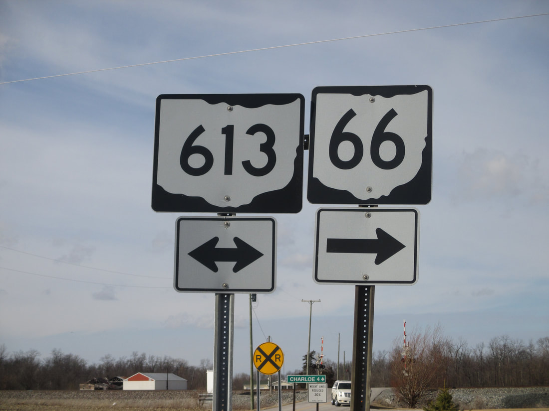
My photo for Ohio Route 613 comes from Oakwood, Ohio, where it interacts with Ohio Route 66. This sign assembly faces south so that northbound travelers know that continuation along Ohio Route 66 requires a turn to the right on Ohio Route 613. The two routes share a very short concurrency, after which Ohio Route 66 turns left to continue north through Oakwood. This photo was taken on Leap Day 2016, taking a backwoods route northwest from Columbus.
Back to Ohio Routes 600-699.
Back to the Ohio main page.
Back to the home page.
Back to Ohio Routes 600-699.
Back to the Ohio main page.
Back to the home page.

