Ohio State Route 676 is an east-west route stretching across Washington County, in southeastern Ohio. The route begins in the Marietta area, just barely on the west side of the Muskingum River. From this eastern terminus at Ohio Route 7, Ohio Route 676 heads northwesterly and westerly, up into the hills. The constant squiggles and curves take Ohio Route 676 to the tiny town of Watertown, where it meets Ohio Route 339. Ohio Route 676 then continues west, and the squiggles continue as well. The route continues past the southern end of Ohio Route 792, skirting the southern edge of Morgan County. Soon after, Ohio Route 676 ends at Ohio Route 555 near Chesterhill.
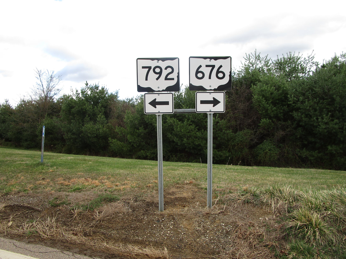
My photo for Ohio Route 676 comes from its junction with Ohio Route 792, a few miles away from its own western terminus. The intersection featured in the photo is the southern terminus of Ohio Route 792, which stems northerly from here. Eastbound travelers will encounter the guide markers shown in the picture when they reach this somewhat Y-shaped intersection. Continuation on Ohio Route 676 requires those travelers to navigate a sharp curve to the right, whereas Ohio Route 792 is reached via a left turn. This photo was taken in March 2021, as I was driving all around southeastern Ohio.
Back to Ohio Routes 600-699.
Back to the Ohio main page.
Back to the home page.
Back to Ohio Routes 600-699.
Back to the Ohio main page.
Back to the home page.

