Michigan Highway 27 is a small fraction of what was the length of US Route 27 in Michigan, now serving as a spur from Interstate 75 to Cheboygan. This is near the center of the Lower Peninsula's northern edge; Cheboygan is just southeast of Mackinaw City and the Mackinac Bridge (pronounced the same as each other). Interstate 75's exit numbered "313" is the southwestern end of Michigan Highway 27; this is at the town of Toppinabee. Michigan Highway 27 goes northeasterly from here to the northern terminus of Michigan Highway 33, a few miles south of Cheboygan. Then, Michigan Highway 27 takes a northerly path colinear with Michigan Highway 33's alignment to the south, traversing the few remaining miles into Cheboygan. That town is where Michigan Highway 27 ends at US Route 23, which is tracing along the northeastern edge of the Lower Peninsula in this region.
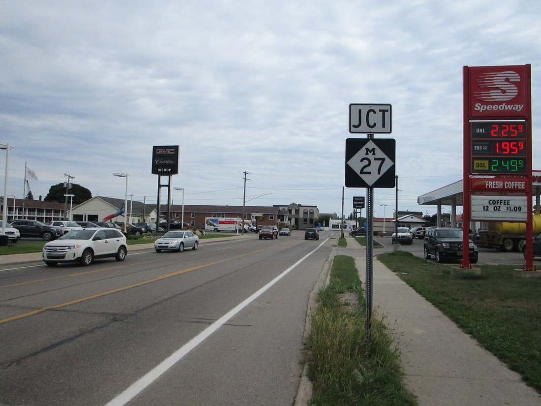
My photo of a route marker for Michigan Highway 27 shows the junction marker showing eastbound traffic on US Route 23 in Cheboygan. The sign assembly seen here shows eastbound traffic (signed as southbound) on US Route 23 that the junction with Michigan Highway 27's northern end is just ahead. The aperture looks east, and the junction of the two routes sits in the background. This photo was taken during the August 2020 trip to Pictured Rocks, Mackinac Island, and Traverse City.
Here are a few more photos along Michigan Highway 27:
Here are a few more photos along Michigan Highway 27:
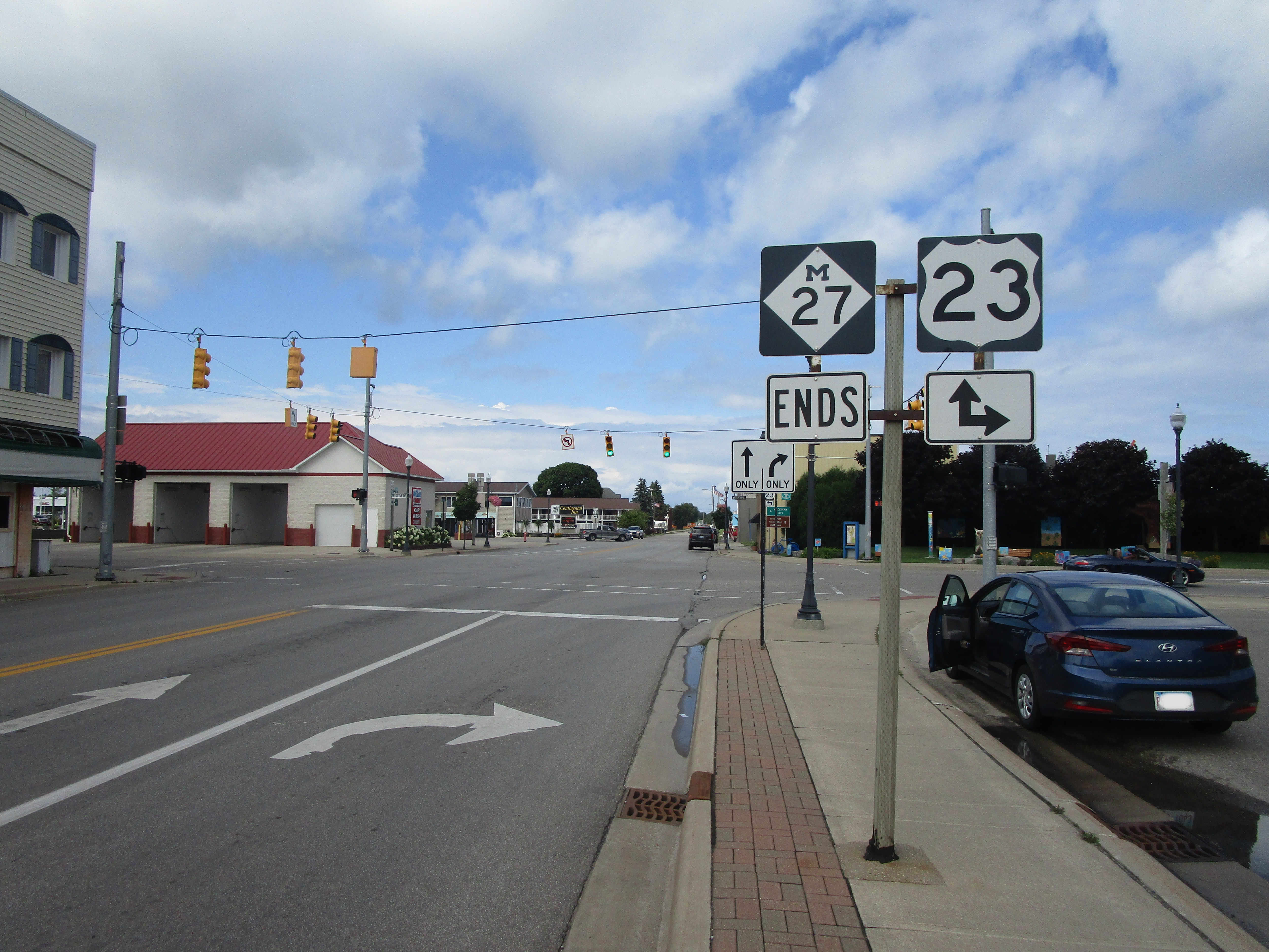
Michigan Highway 27's northern end marker in Cheboygan, at US Route 23.

Michigan Highway 27 southbound in Cheboygan.

Signage for southbound traffic on Michigan Highway 27, pointing out the only other state highway that M-27 intersects: Michigan Highway 33.
