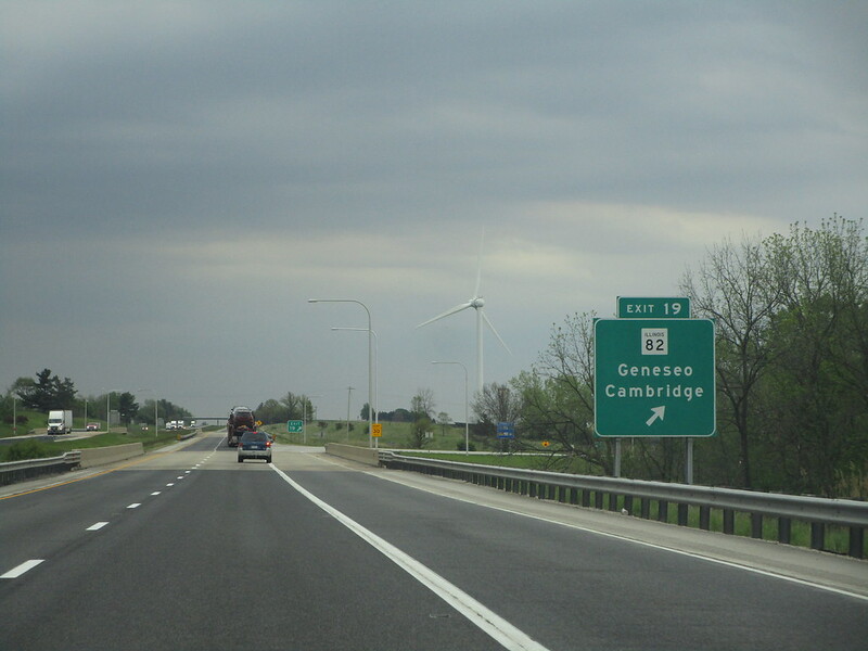
^Looking east from exit 19, the exit to Geneseo (Illinois 82), June 2023.
Interstate 80 spends its time in Illinois connecting the Quad Cities to the southern outskirts of the Chicago area, continuing into northwest Indiana to serve the chokepoint created by the southern extent of Lake Michigan. Chicago is listed as a control city along Interstate 80 in the surrounding region, though Interstate 80 never reaches Chicago proper. It is still a very handy route for reaching Chicago eventually though, either via Interstate 55, 57 or 94. Interstate 80 is often regarded in Illinois as the boundary between "northern Illinois" and "downstate Illinois", two regions regarded by locals as culturally distinct. However, only about a quarter of Illinois's landmass lies north of the line carved by Interstate 80.
Exits on this page are listed in order from west to east, in accordance with the nationally-recognized mile numbering system.
Interstate 80 crosses into Illinois from Iowa via a bridge over the Mississippi River on the northwestern periphery of the Quad Cities area. Its first ten miles are oriented in a southerly direction before the Interstate turns easterly. (For portions of I-80 west of here, in the state of Iowa, click here.)
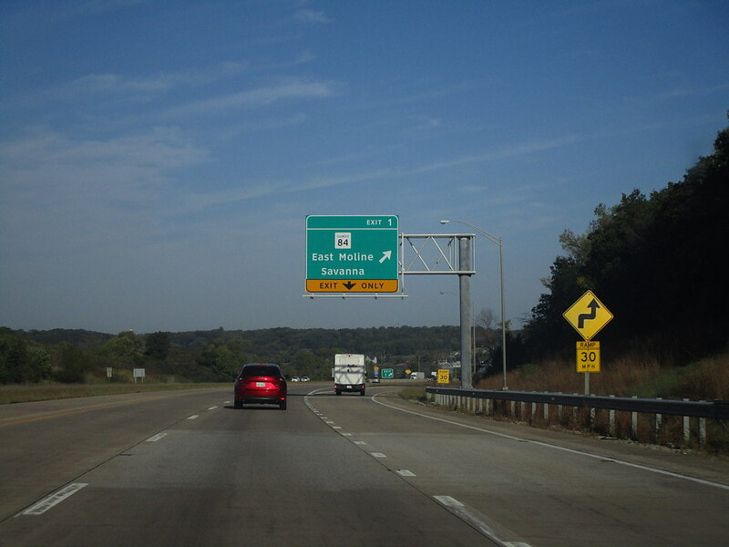
Exit 1 is a fountain interchange to Illinois 84, carrying the Great River Road and running right along the Mississippi River. East Moline and Savanna are shown as control cities, even though Rapids City is right on Illinois 84 very near the interchange:
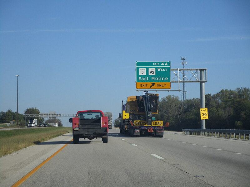
Exit 4A is the first ramp of a cloverleaf interchange marking the western end of Interstate 88, but this first exit is to the western beginning of Illinois 5, with Illinois 92 along for the ride into East Moline:
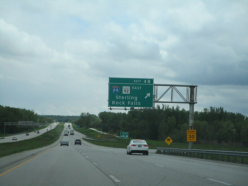
Exit 4B is the ramp at the cloverleaf leading to Interstate 88 east toward Sterling and Rock Falls, plus Illinois 92 which continues east:
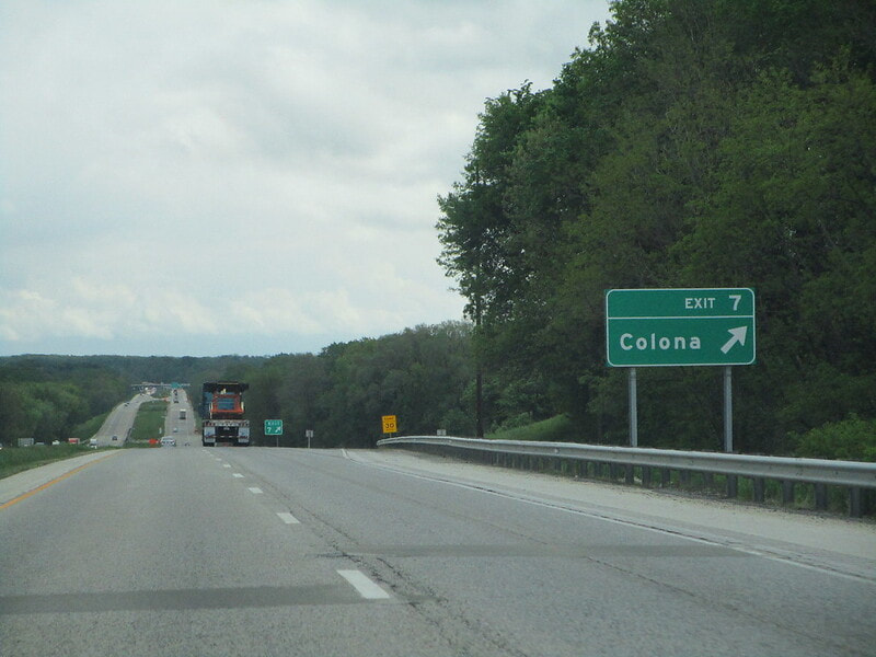
Exit 7 is for a local road leading to Colona:
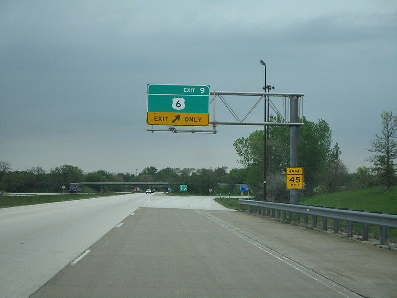
Exit 9 leads to US Route 6, with no control cities shown on signs:
|
|
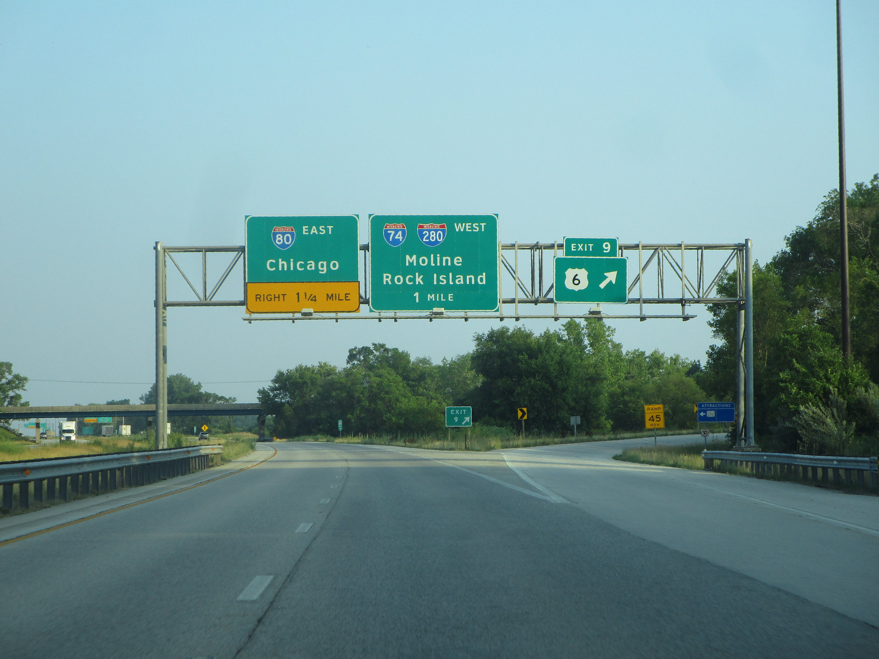
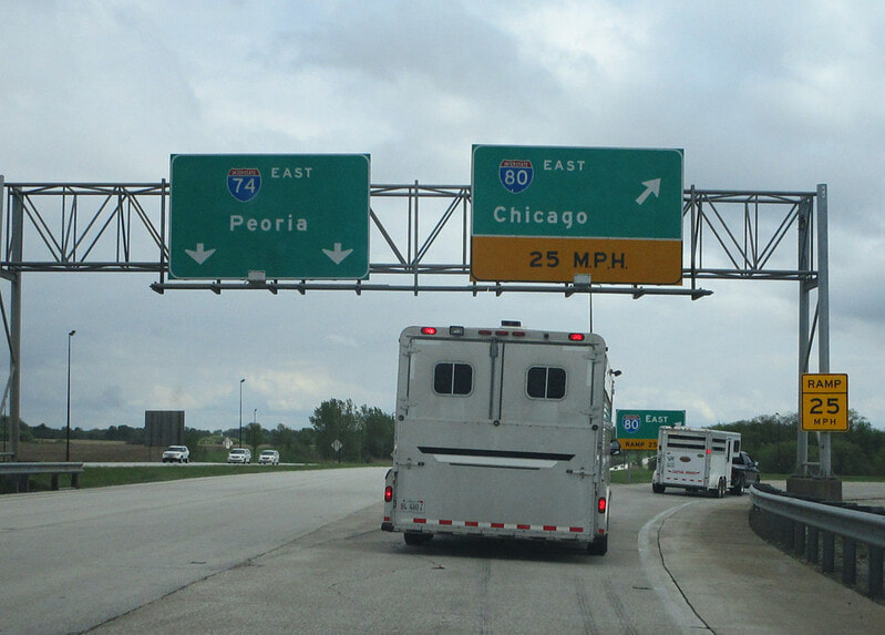
Next, Interstate 80 reaches a cloverleaf interchange where it ricochets off of Interstate 74, and Interstate 280 gets its westerly start; as Interstate 80 turns from the northern leg of the interchange to the eastern leg, Interstate 74 is turning from the western leg to the southern leg. Traffic on both Interstates must use an exit ramp to stay on the same Interstate designation. The first ramp leads to Interstate 74 and Interstate 280 west toward Moline-Rock Island (we'll call this unnumbered exit ramp "exit 10A":
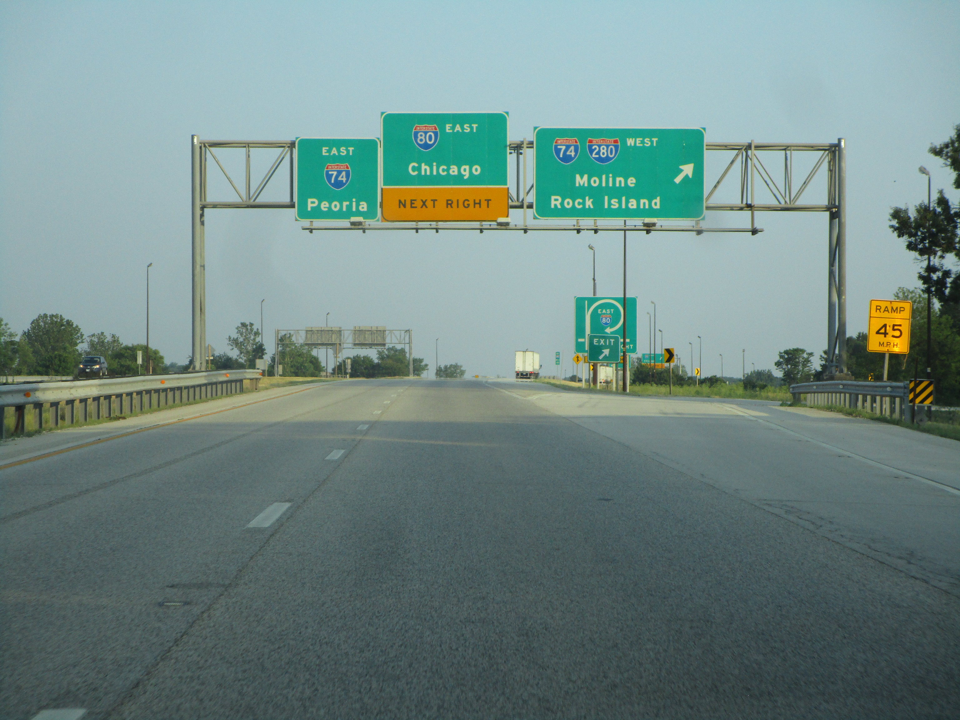
The second ramp at the cloverleaf allows Interstate 80 to continue, but that doesn't count as an exit. The exit (we'll call it "exit 10B") is to keep going onto Interstate 74 east toward Peoria:
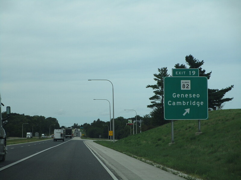
Exit 19, on the east-west corridor traversed by Interstate 80 through most of Illinois, is for Illinois 82, providing access to Geneseo and Cambridge:
|
|
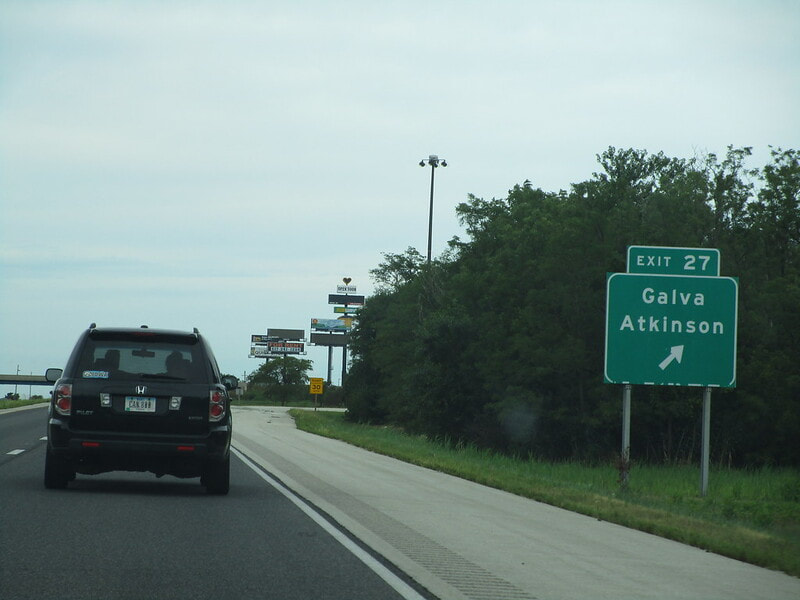
Exit 27 is for reaching Galva and Atkinson:
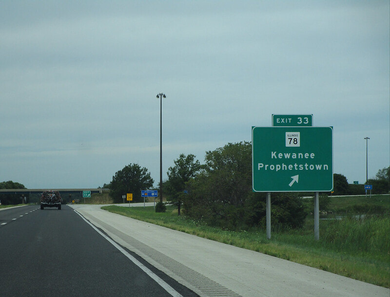
Exit 33 is for Illinois 78, which provides a link to Kewanee and Prophetstown:
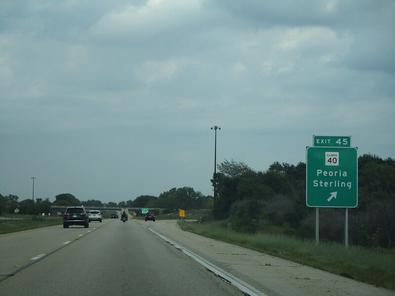
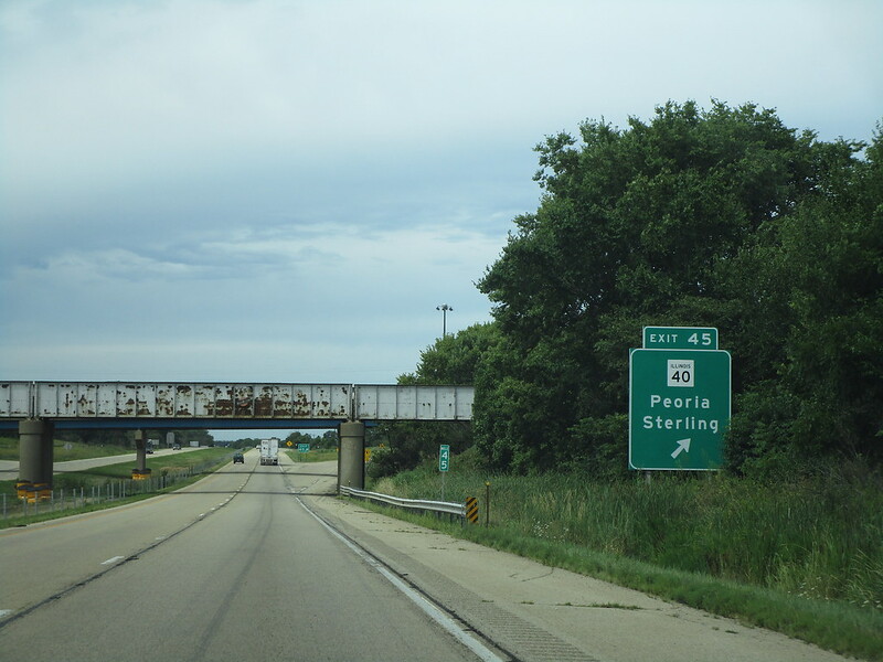
Exit 45 is a fountain interchange for Illinois 40, signed as a connection to Peoria and Sterling:
|
|
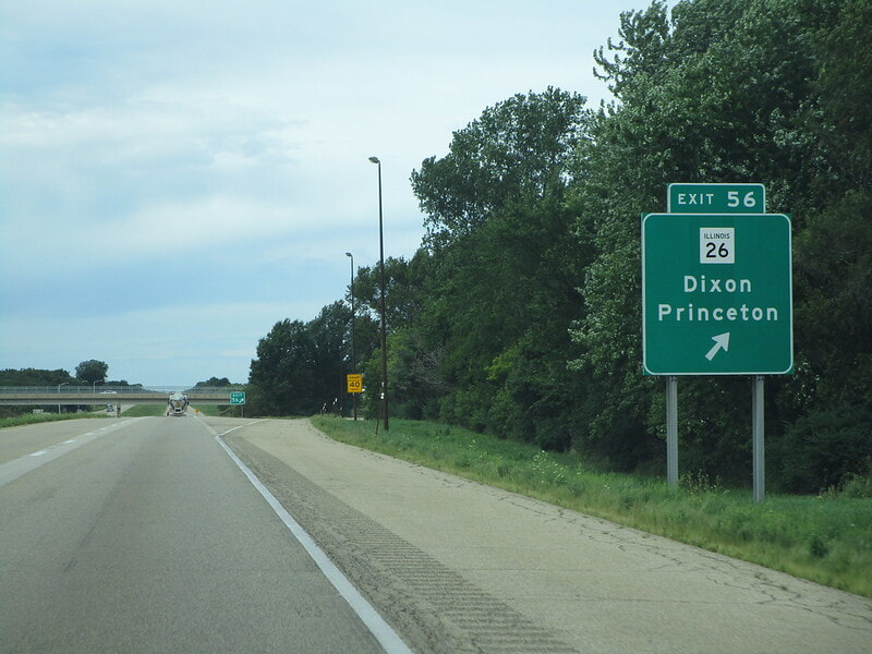
Exit 56 is for Illinois 26, providing a link to Princeton and Dixon:
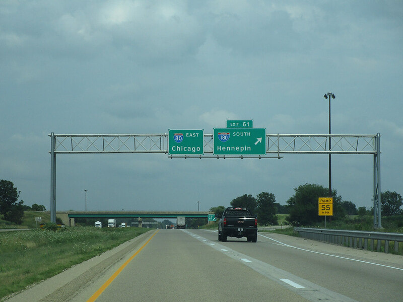
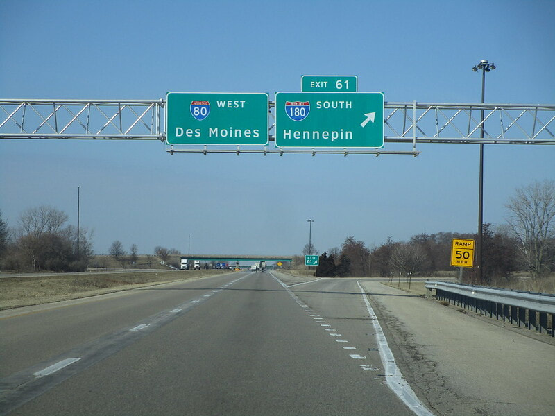
Exit 61 is a trumpet interchange to Interstate 180, the most useless Interstate in America, serving Hennepin, a town of 750 people:
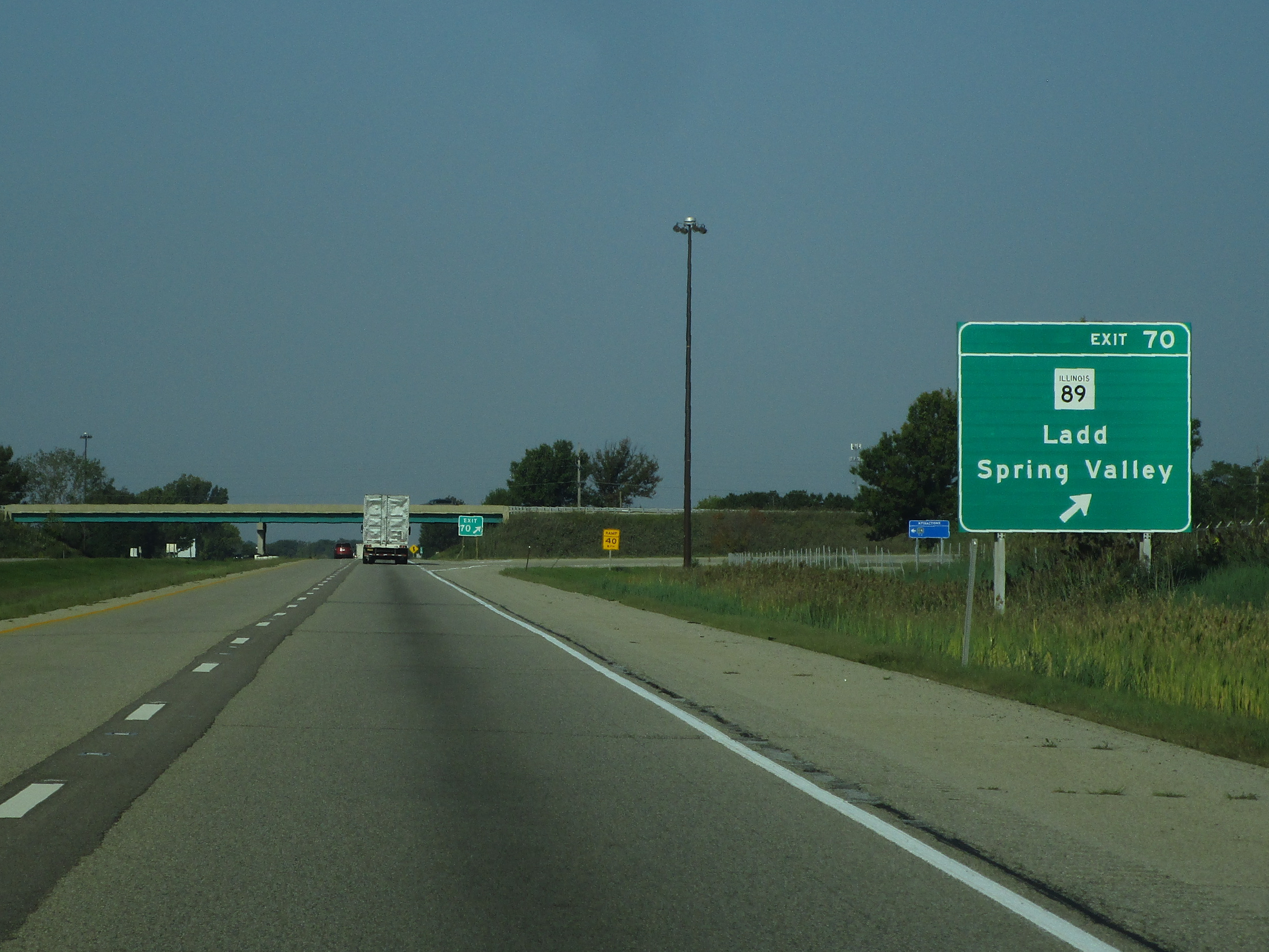
Exit 70 is for Illinois Route 89, connecting to Ladd and Spring Valley:
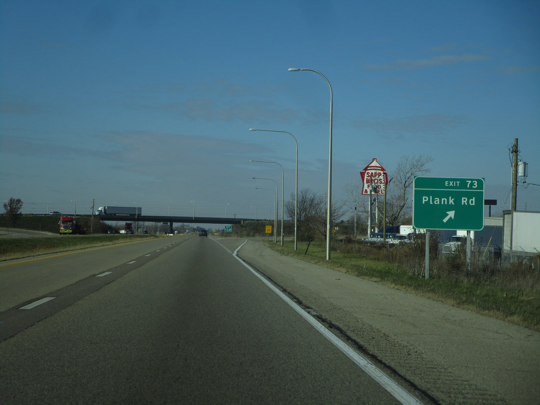
Exit 73 is for Plank Road, a local road which connects to Cherry and Peru:
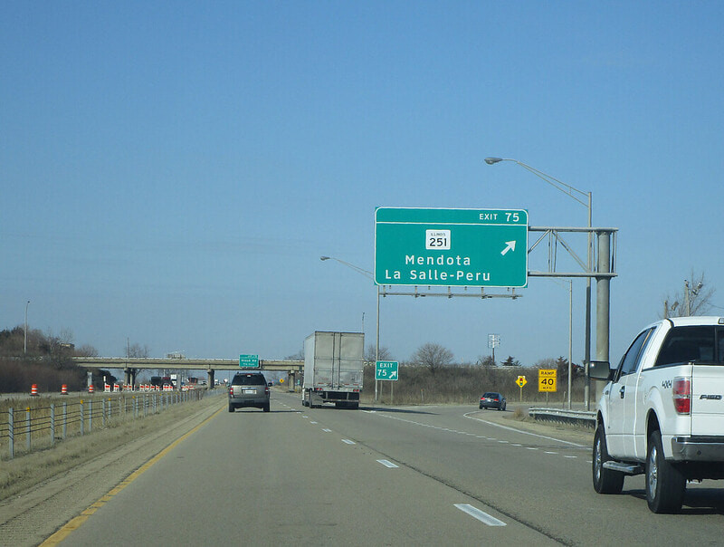
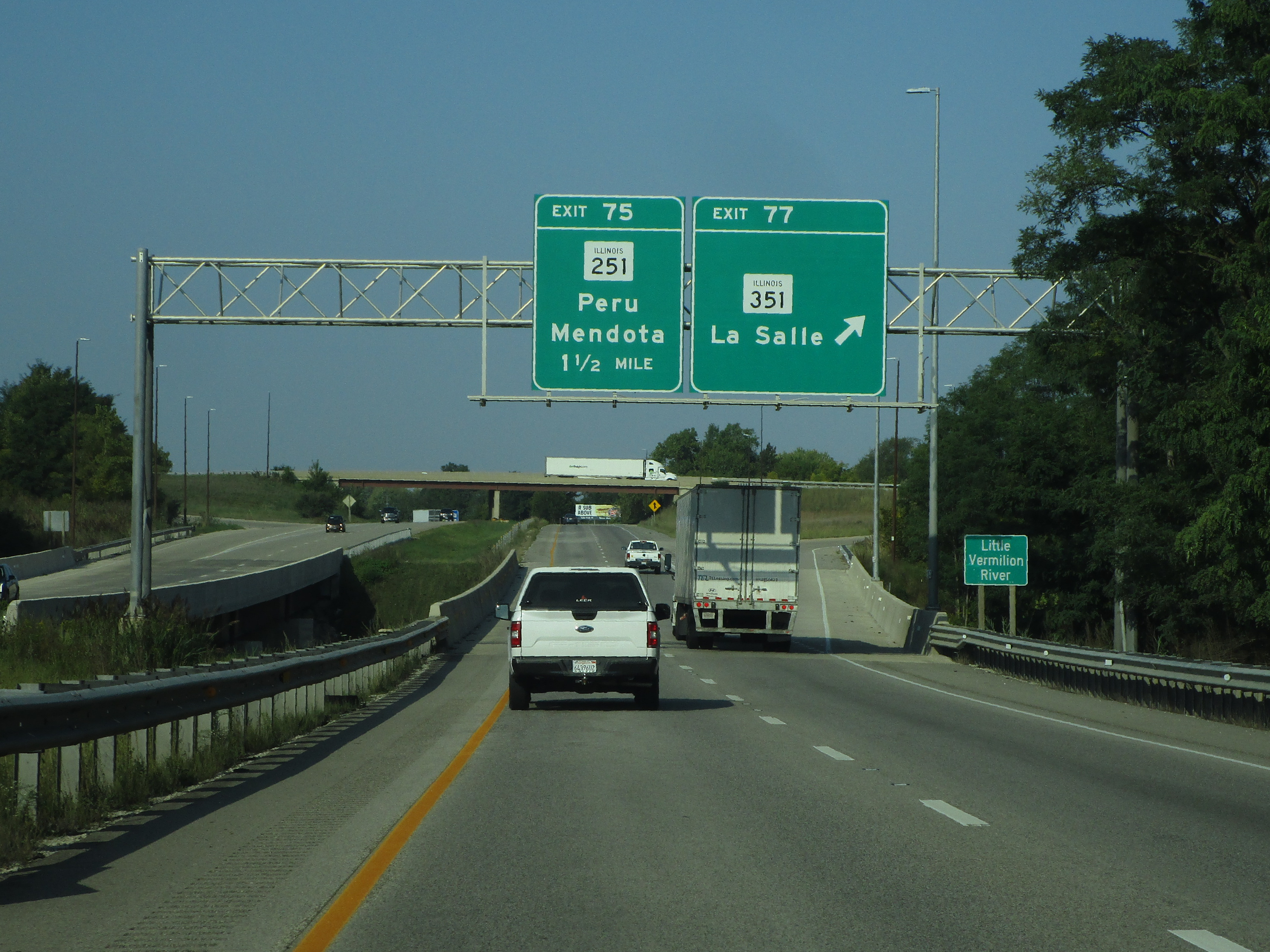
Exit 75 is for Illinois 251, providing access to Peru and Mendota:
Exit 77 is a trumpet interchange to Illinois 351, which heads south into LaSalle:
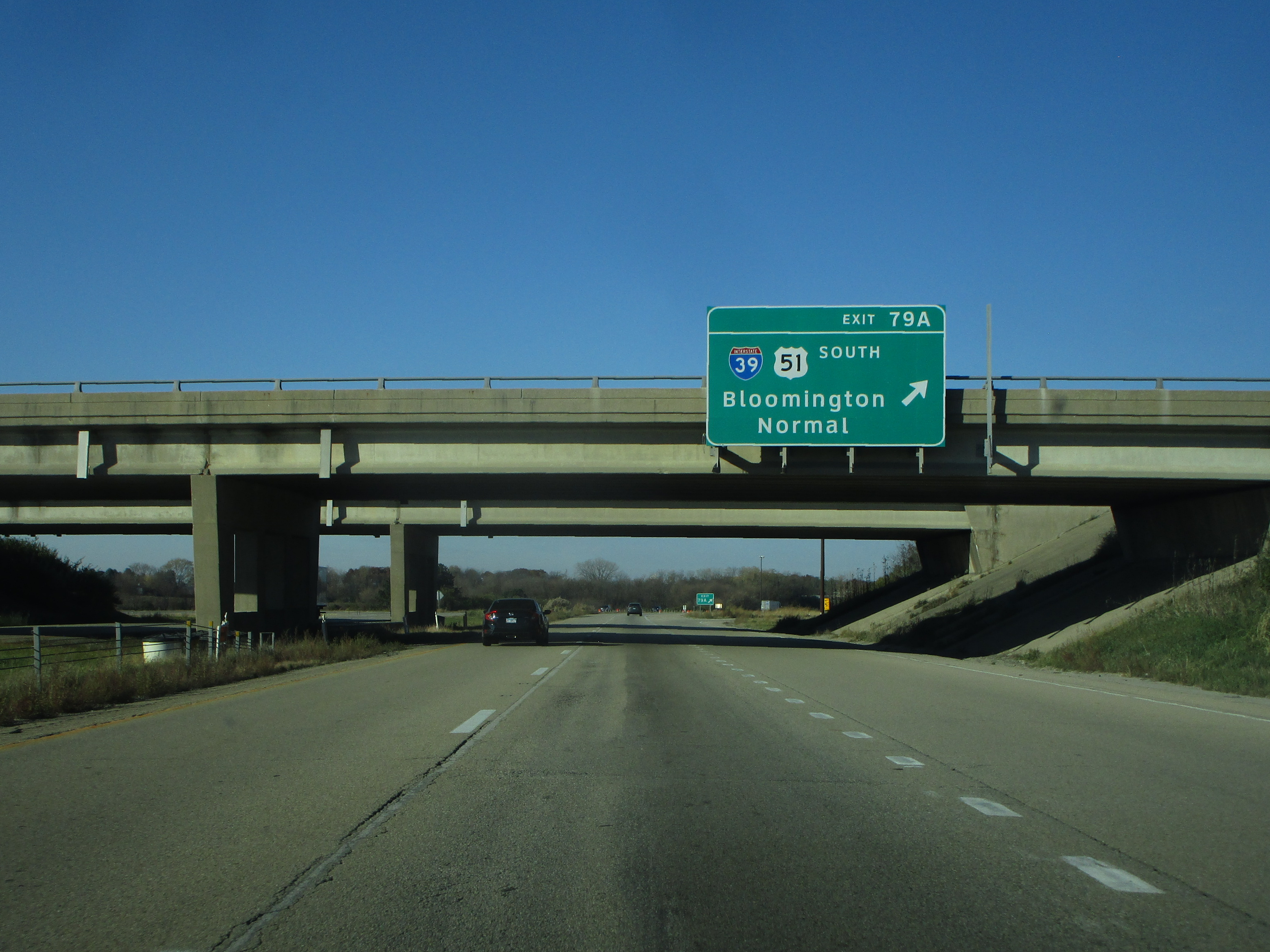
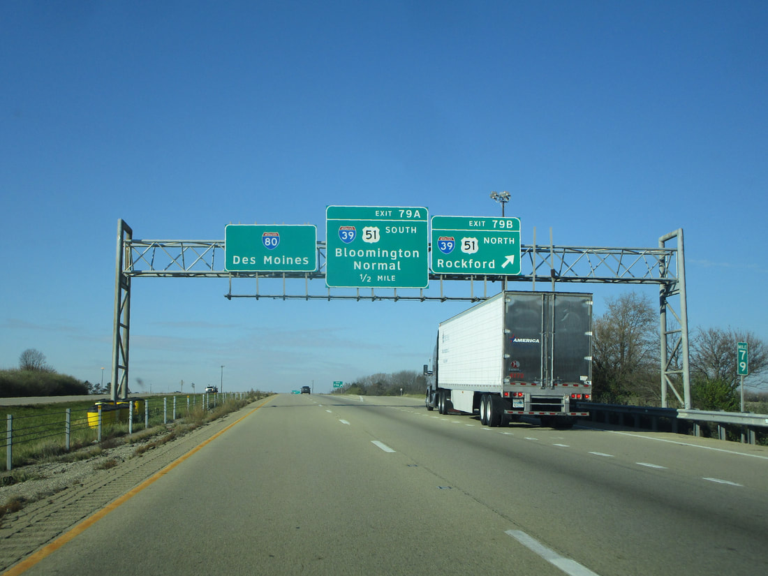
Exit 79A is the first ramp of two at a cloverleaf interchange to Interstate 39 and US Route 51; this first ramp leads to the freeway carrying the two routes south toward Bloomington-Normal:
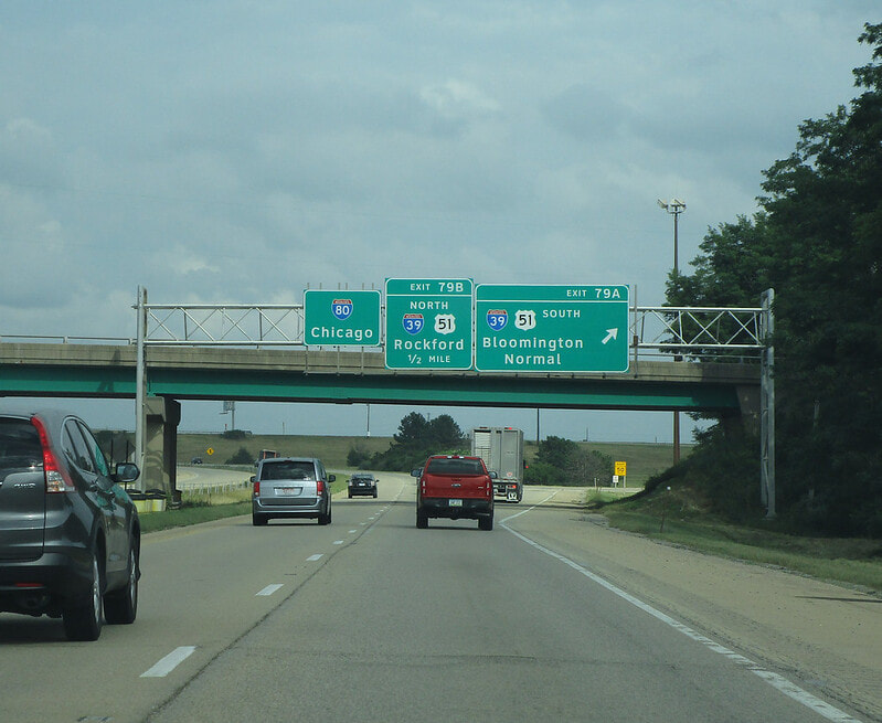
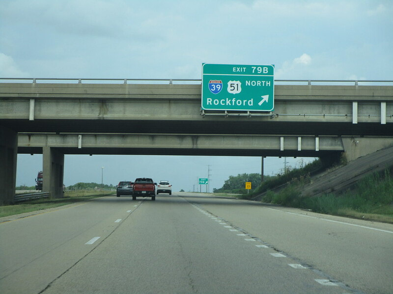
Exit 79B, the second ramp of the cloverleaf, leads to Interstate 39 and US Route 51 north toward Rockford:
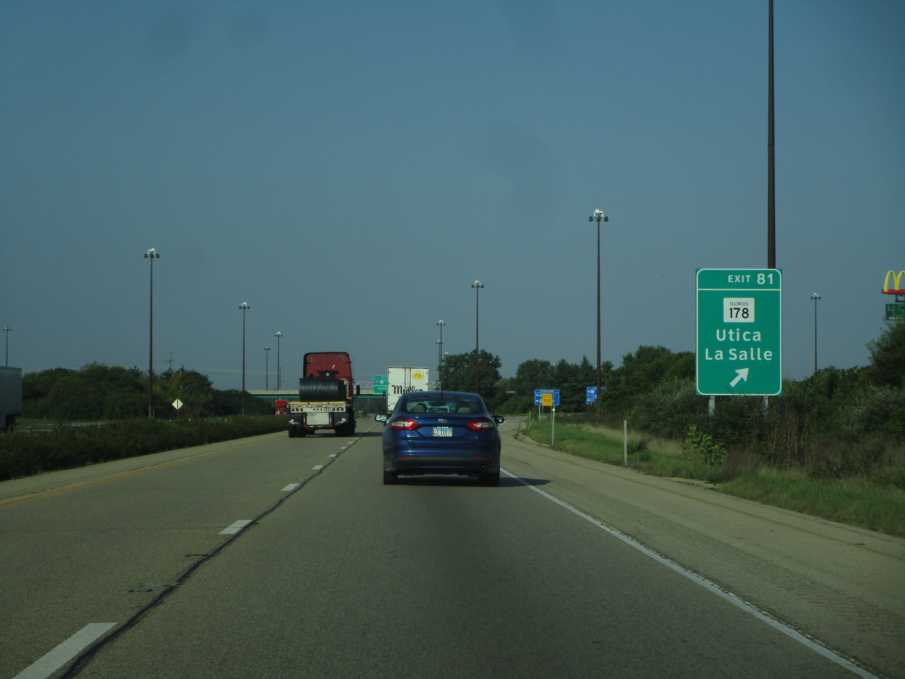
Exit 81 leads to Illinois 178, which is a link to Utica (formally "North Utica"):. I couldn't tell you why LaSalle is mentioned on the sign:
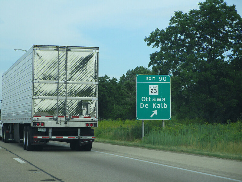
Exit 90 is for Illinois 23, which connects to Ottawa and DeKalb:
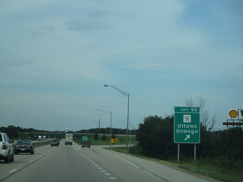
Exit 93 is for Illinois 71, which can bring travelers northeast to Oswego or southwest to Ottawa:
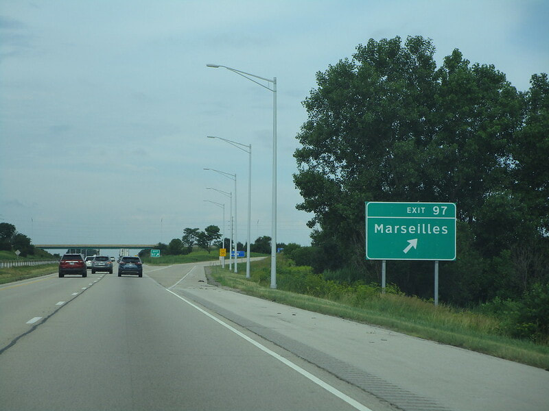
Exit 97 is for a county road that provides access to Marseilles:
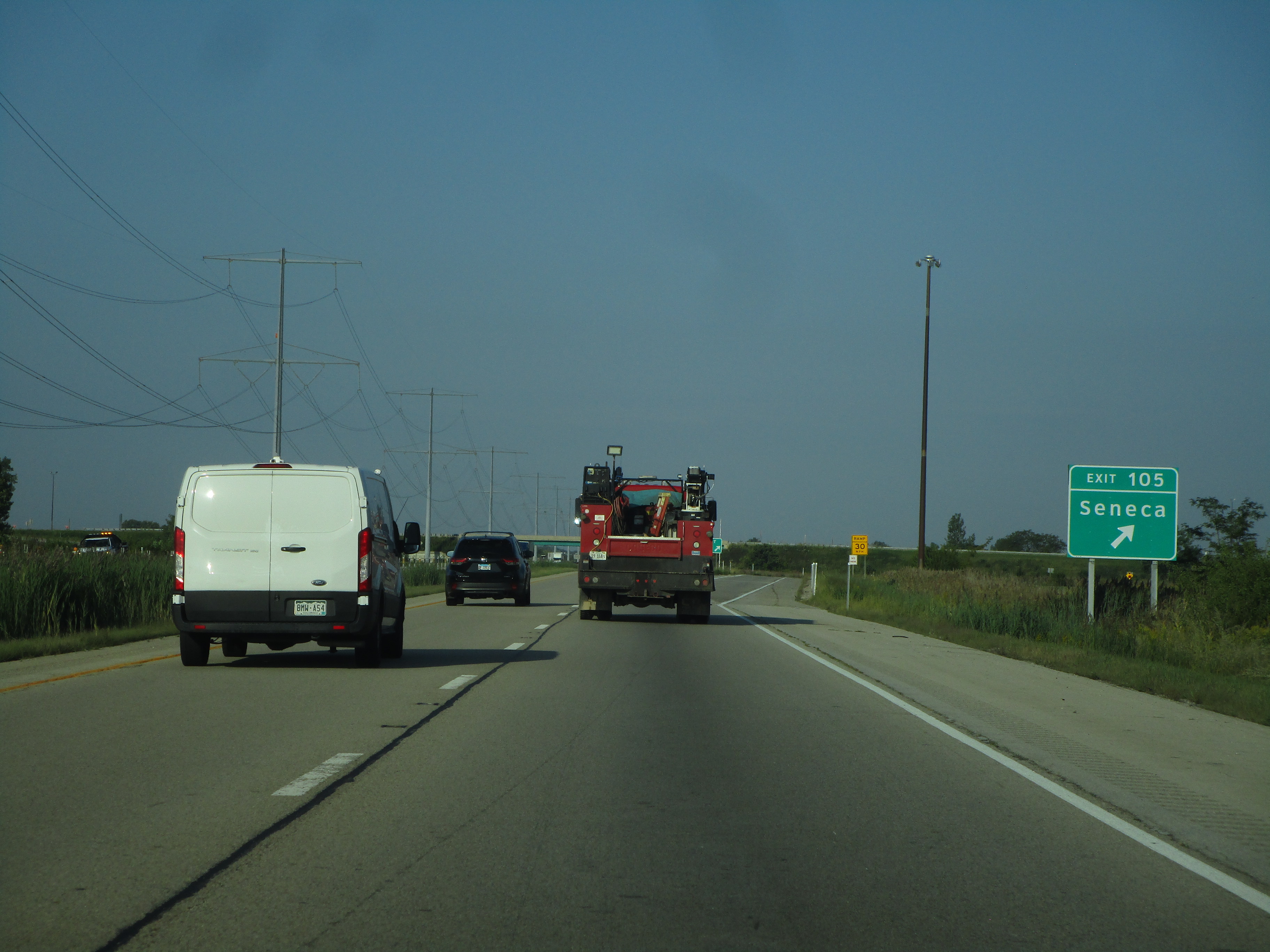
Exit 105 is labeled as the "Seneca" exit, but it just is a short local road connecting to US Route 6, which leads southwest to Seneca:
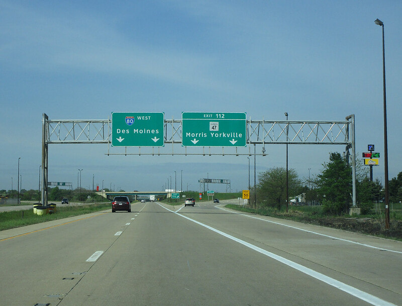
Exit 112 is for Illinois 47, providing access to Morris and Yorkville:
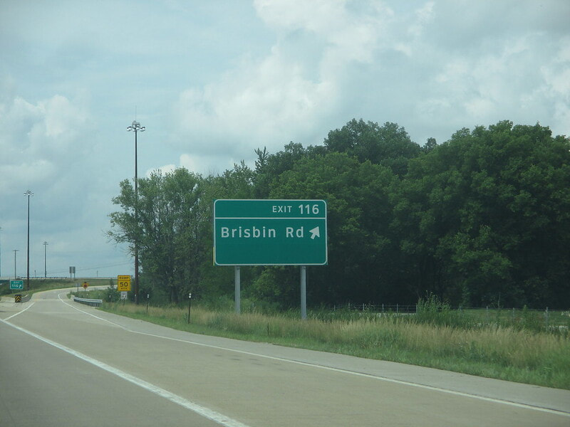
Exit 116 is for Brisbin Road:
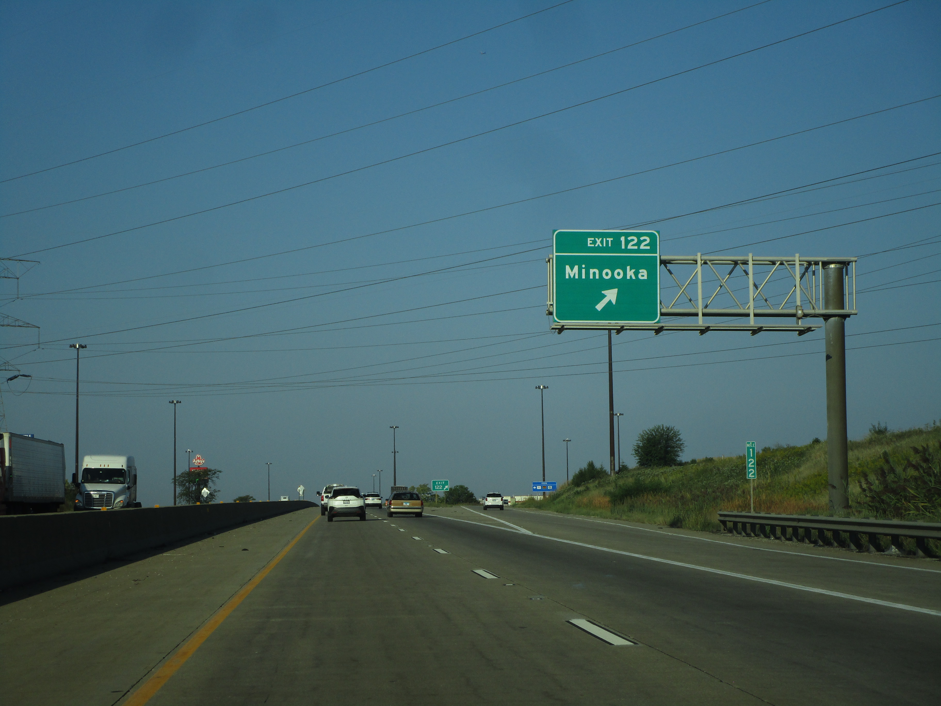
Exit 122 is for Ridge Road in Minooka, but signs just indicate "Minooka":
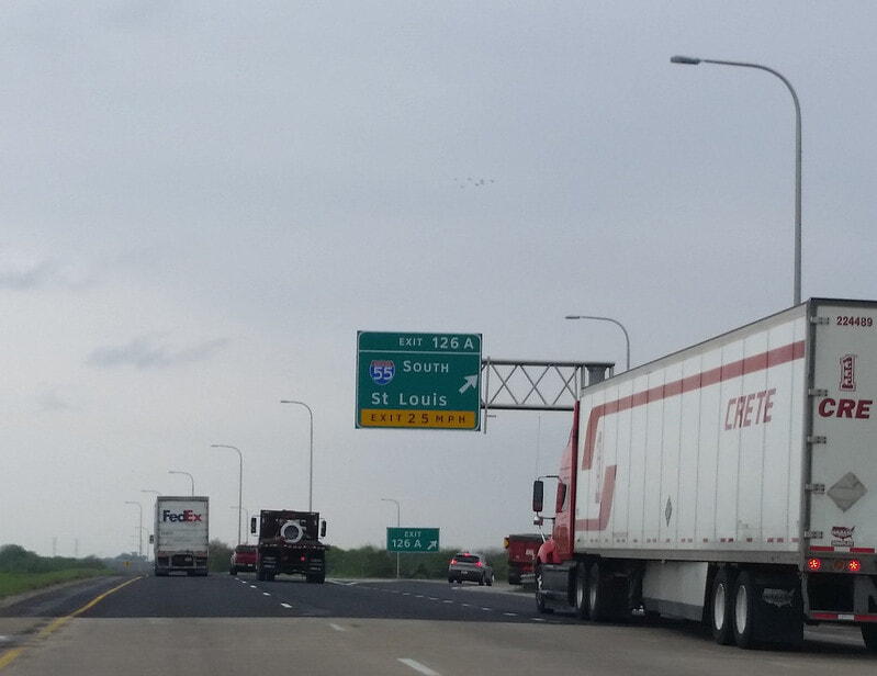
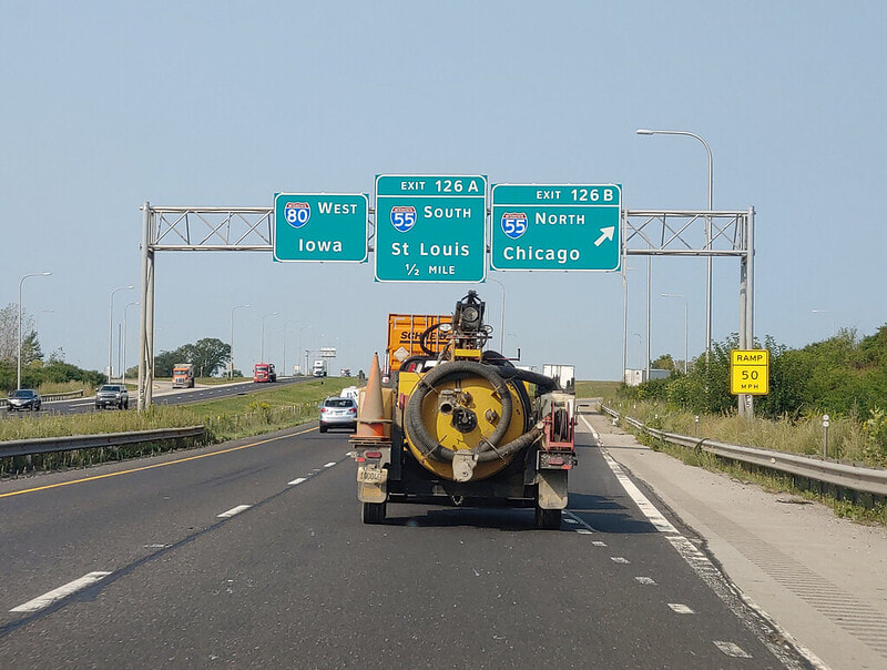
Exit 126A is the first half of a cloverleaf interchange to Interstate 55; this first ramp leads travelers southward toward St. Louis:
Exit 126B, the latter half of the cloverleaf interchange, leads to Interstate 55 north, toward Chicago:
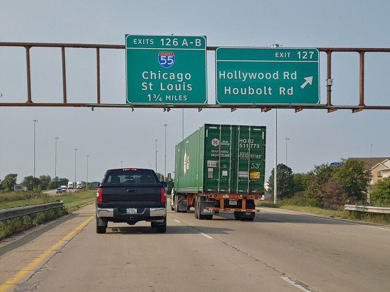
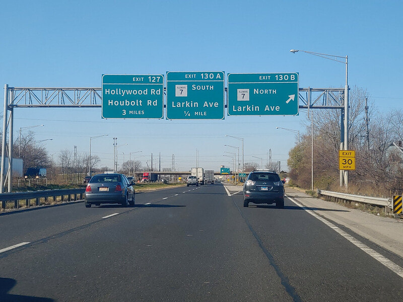
Exit 127 is for Hollywood Road and Houbolt Road in Joliet:
Exit 130A is the first half of a cloverleaf interchange to Illinois 7, known as Larkin Avenue; the first ramp here leads to Illinois 7 south:
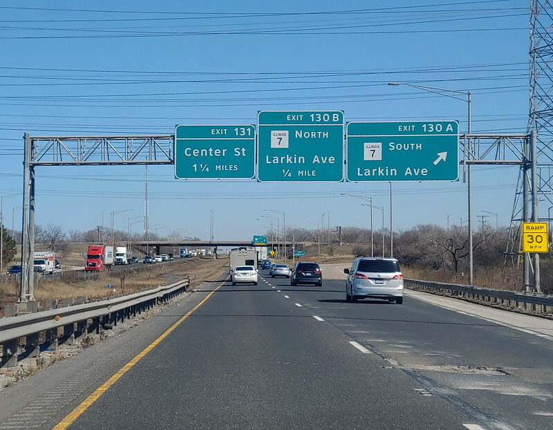
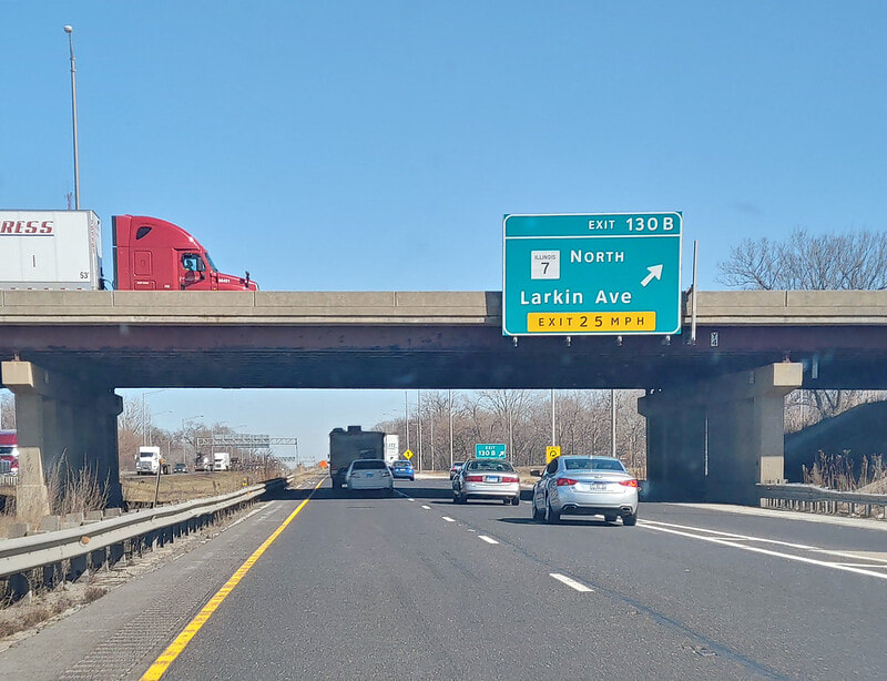
Exit 130B is the second half of the cloverleaf, leading to Illinois 7 and Larkin Avenue north:
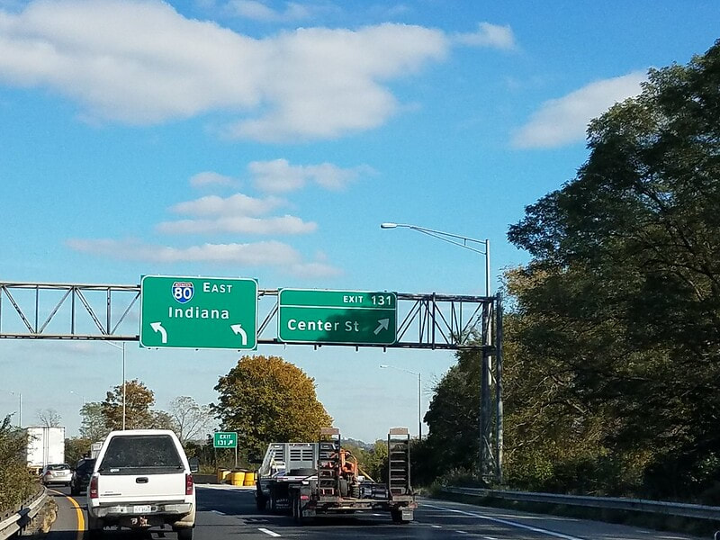
Exit 131 leads to Center Street in Joliet; the westbound offramp also leads to Meadow Avenue into Rockdale:
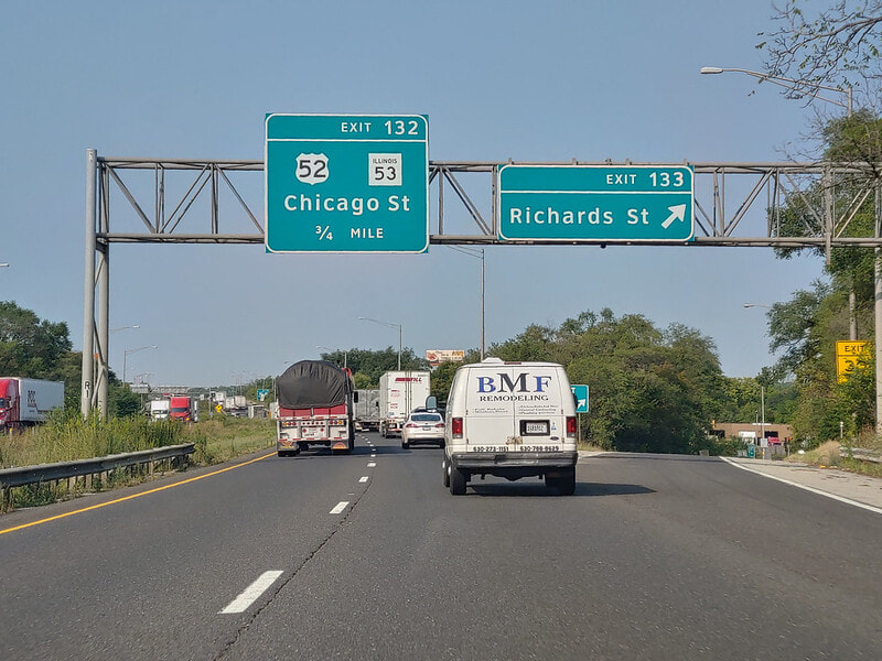
Exit 132A is for US Route 52 east and Illinois 53 south, along Center Street in Joliet:
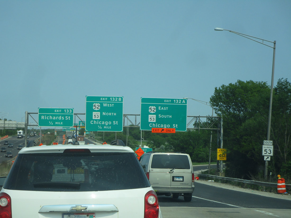
Exit 132B is a tight cloverleaf ramp to US Route 52 west and Illinois 53 north, on Center Street north toward downtown Joliet. Note that westbound has only one ramp, exit 132, to Center Street, Illinois 53, and US Route 52, instead of a pair of directional ramps:
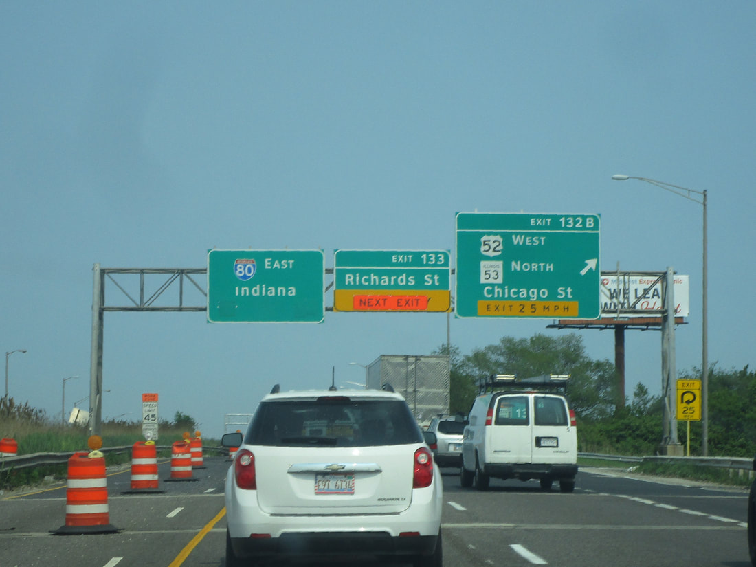
Exit 133 is a normal diamond interchange to Richards Street in Joliet:
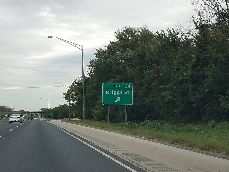
Exit 134 is for Briggs Street, a county road in Joliet:
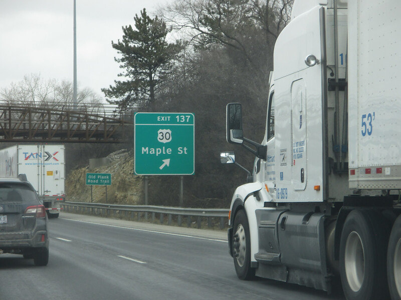
Exit 137 is a fountain interchange to US Route 30, also known as Maple Street in New Lenox:
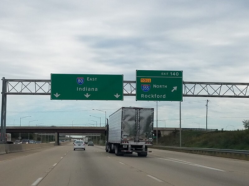
Exit 140 is to the southernmost point on the Interstate 355 tollway; Rockford is inexplicably listed as a control city even though Interstate 355 doesn't get anywhere near Rockford:
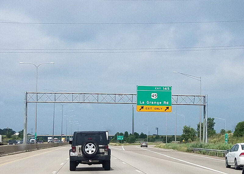
Exit 145 is to US Route 45, also known as LaGrange Road:
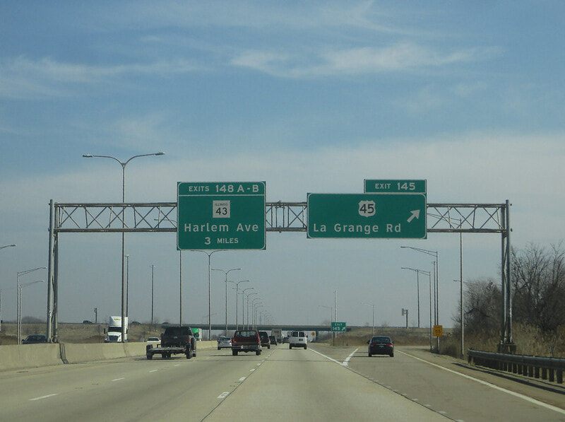
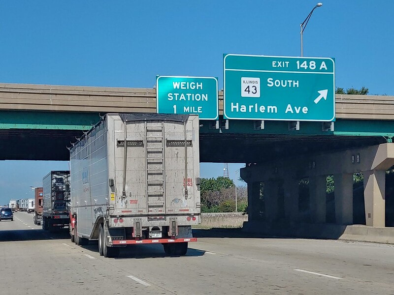
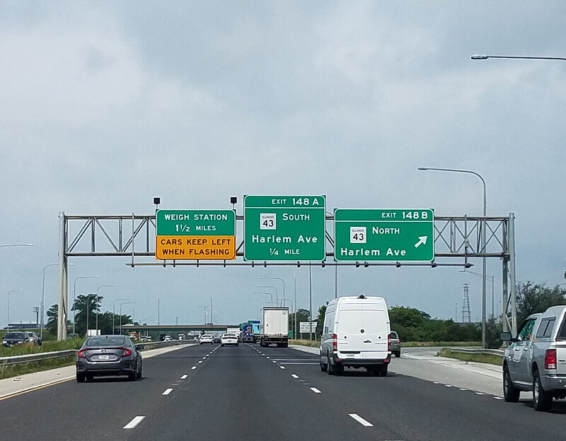
Exit 148A is to Illinois 43 (known as Harlem Avenue) southbound:
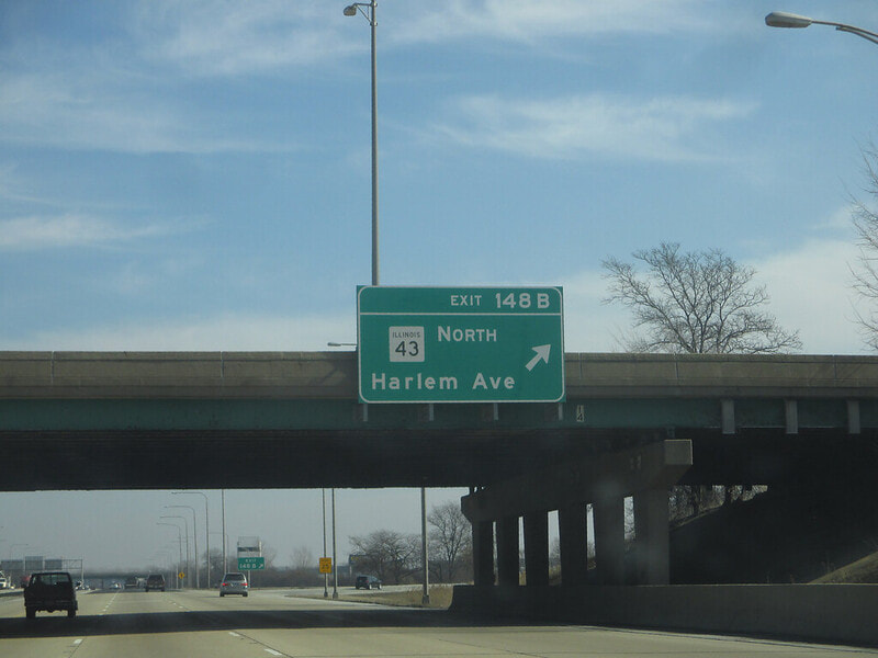
Exit 148B is to Illinois 43 (known as Harlem Avenue) northbound:
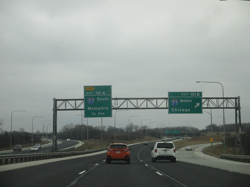
Exit 151A is to Interstate 57 southward, toward Memphis:
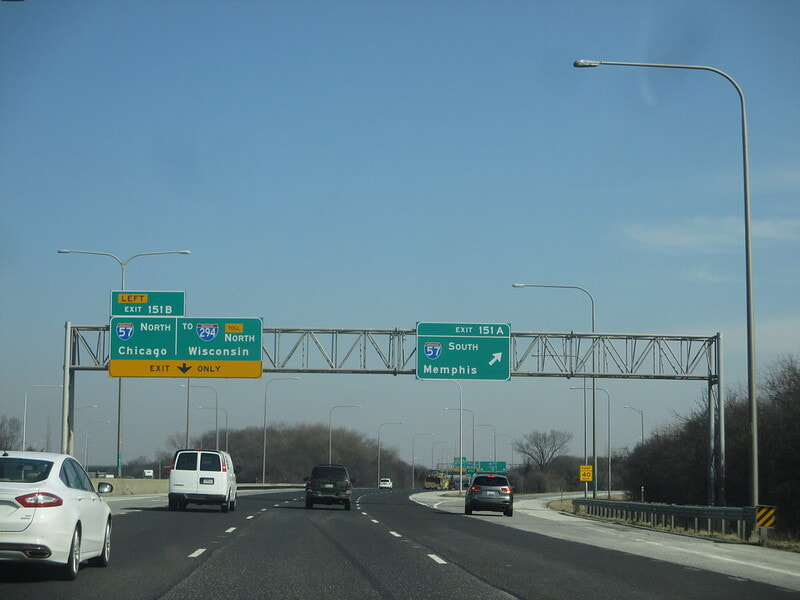
Exit 151B is to Interstate 57 northward, toward Chicago:
Exit 154 is an interchange to Kedzie Avenue that only provides access to/from the west on Interstate 80:
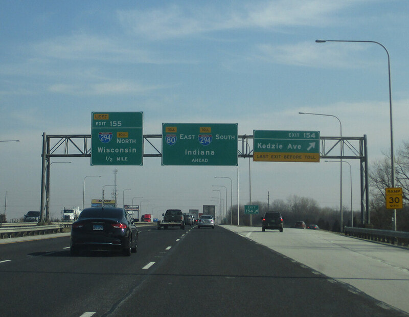
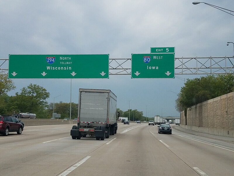
Exit 155 provides access to Interstate 294 north toward Wisconsin, as that tollway joins Interstate 80 east, turning Interstate 80 into a tollway for a short stretch:
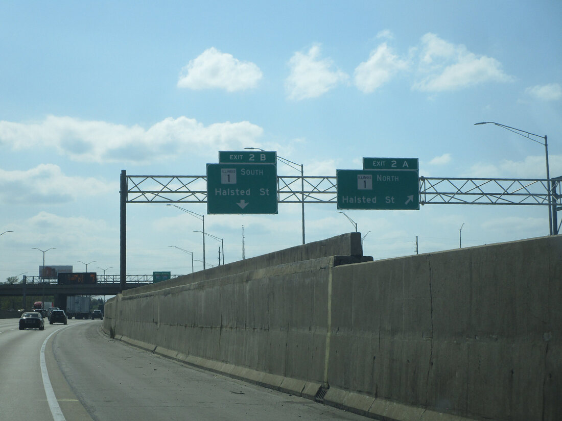
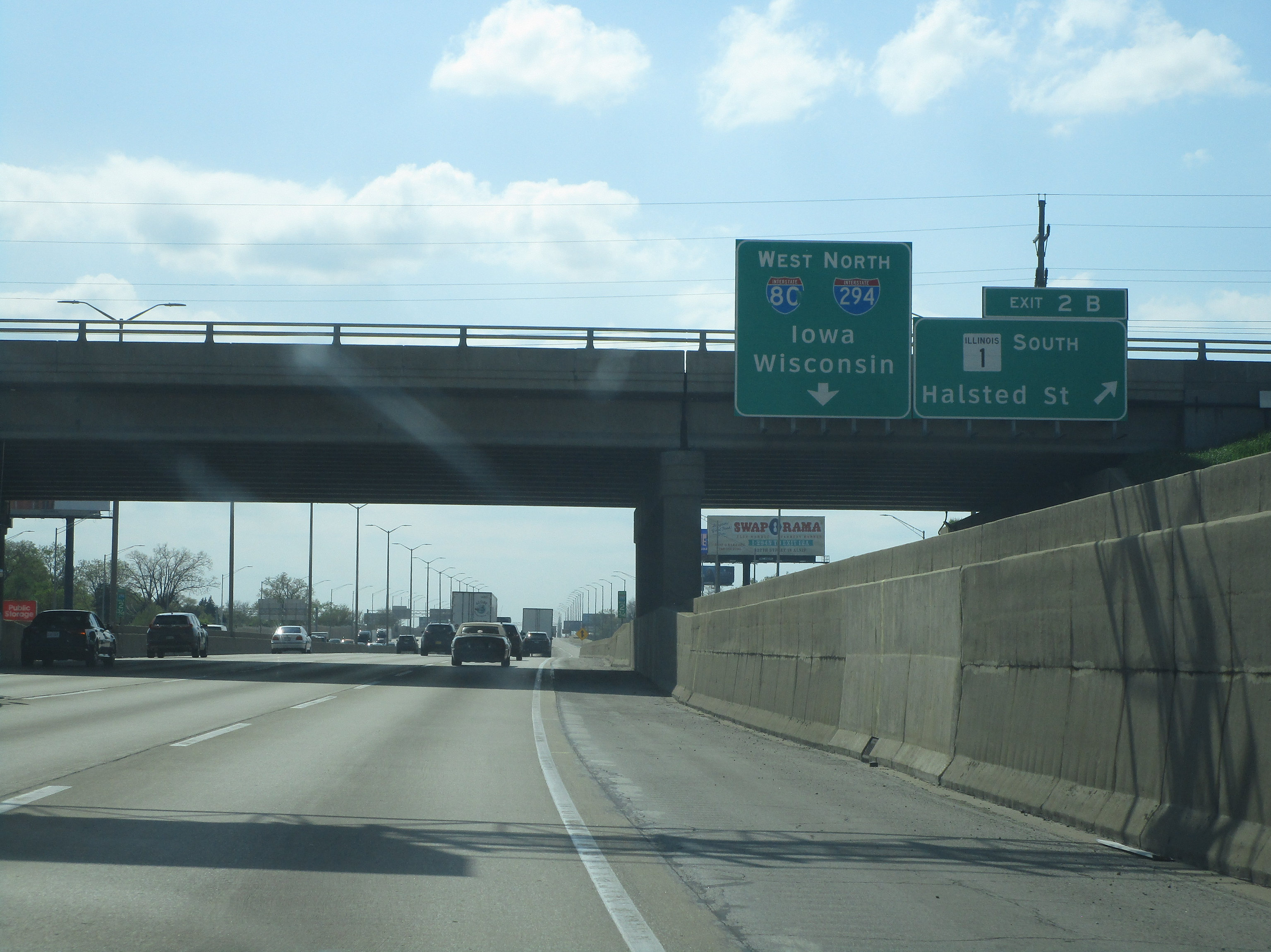
The next exit leads to a cloverleaf to Illinois 1 and Halsted Avenue, but its exit number is 2 because the Interstate 294 numbering scheme is allowed to dominate here for some reason:
|
|
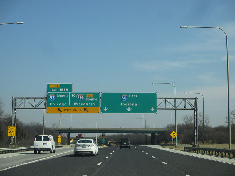
After that, Interstate 80 reaches exit 160, where Interstate 80 reaches the westbound leg of Interstate 94 into Chicago, the northern beginning of the short Illinois 394 expressway, and the end of Interstate 294. The first ramp (we'll call it "Exit 160A) leads to Illinois 394 southbound, signed as a path to Danville:
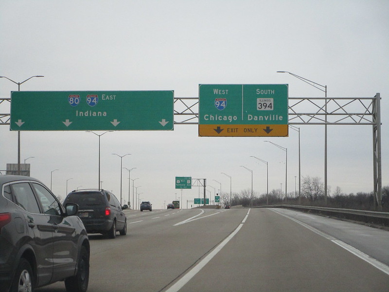
Interstate 80 then reaches the other ramp, exit 160B, leading to Interstate 94 west (north) to Chicago. Interstate 94 joins Interstate 80 east into Indiana at this point:
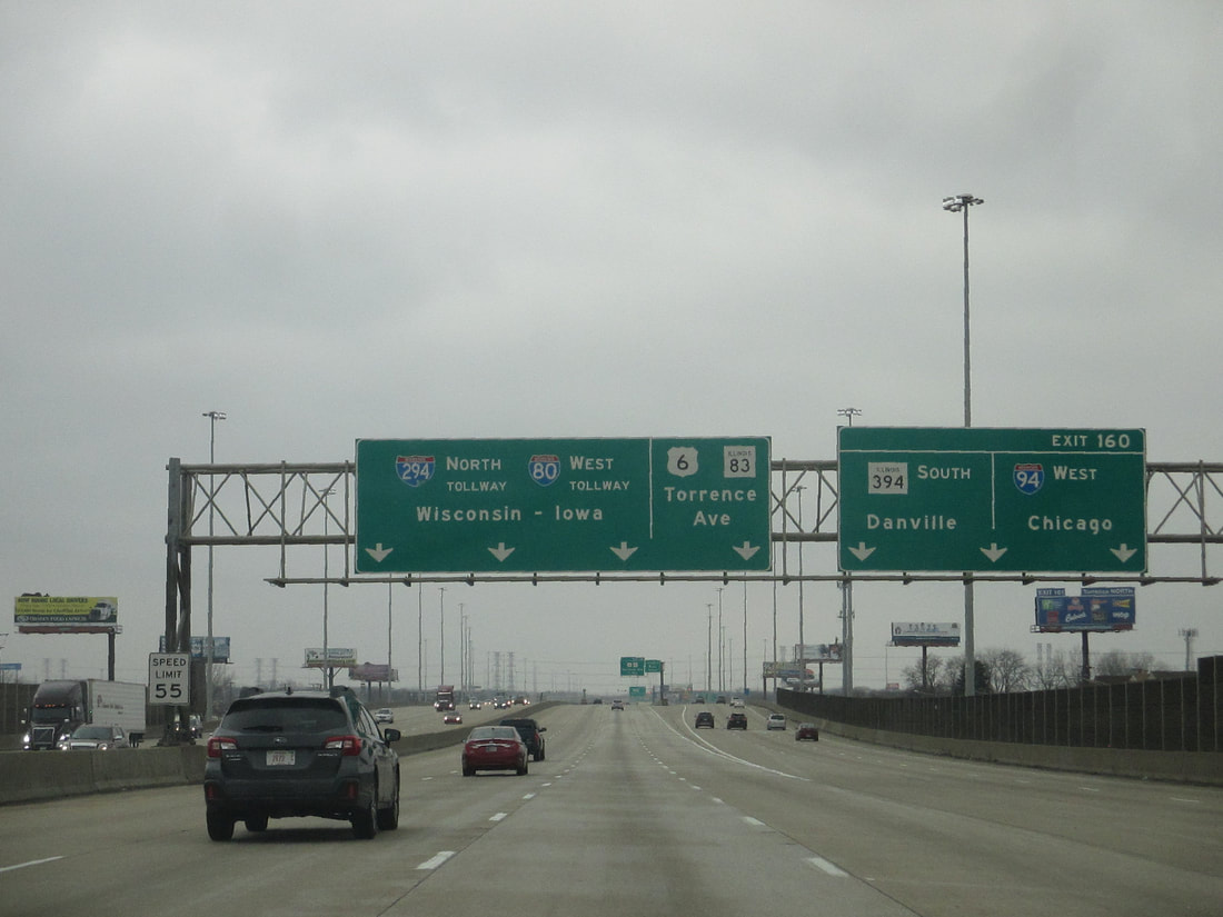
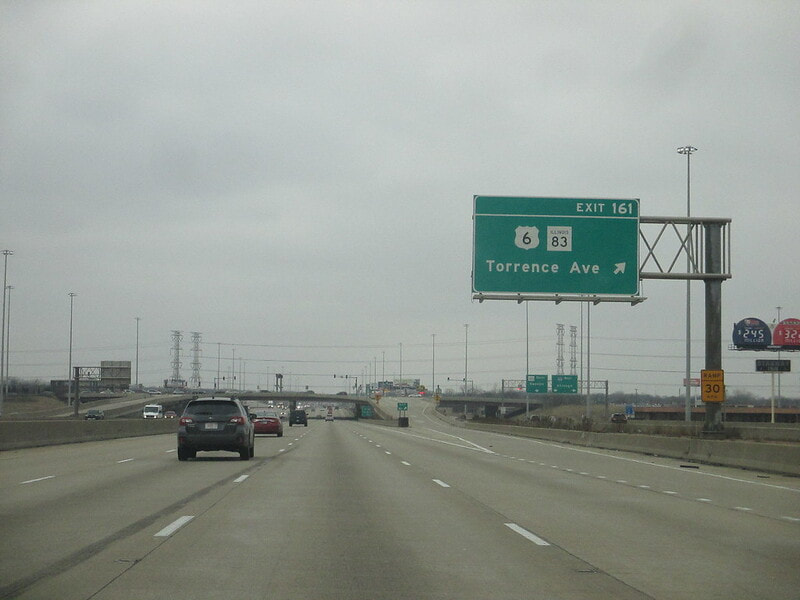
Exit 161 is a single-point interchange with Illinois 83 and Torrence Avenue, plus US Route 6 which comes from the north to join Interstate 80 (and 94) east:
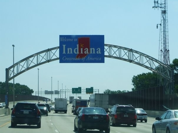
After spending about 162 miles in Illinois, Interstate 80 continues east into Indiana, concurrent with Interstate 94 and US Route 6. This is near Lansing, Illinois, and Hammond, Indiana (if you want to continue into Indiana on I-80, click here):