Michigan Highway 46 spans the entire width of the Lower Peninsula, running from Muskegon through Saginaw to Port Sanilac. West of US Route 131, it closely follows the same latitude from Muskegon to Cedar Springs. Since it joins US Route 131 north from that stretch, the rest of Michigan Highway 46 sits along a more northerly latitude through Saginaw and Port Sanilac. (Michigan Highway 57 sort of heads east from Michigan Highway 46's southwestern portion, and Michigan Highway 82 sort of heads west from the northeastern portion. So the eastern part of M-46 ought to be an extension of M-82, and the western part of M-46 ought to be an extension of M-57.) The western end of Michigan Highway 46 in Muskegon is at Business US Route 31. It heads east from there to Cedar Springs, where it joins US Route 131 north. Near Howard City, Michigan Highway 46 splits from US Route 131 to head due easterly again. It barely deviates from a straight westward pathing right through St. Louis, Saginaw, and Sandusky, Michigan. This is a very long, straight alignment from US Route 131 east to Lake Huron. Its end occurs at Michigan Highway 25 in Port Sanilac, a town along the shores of Lake Huron.
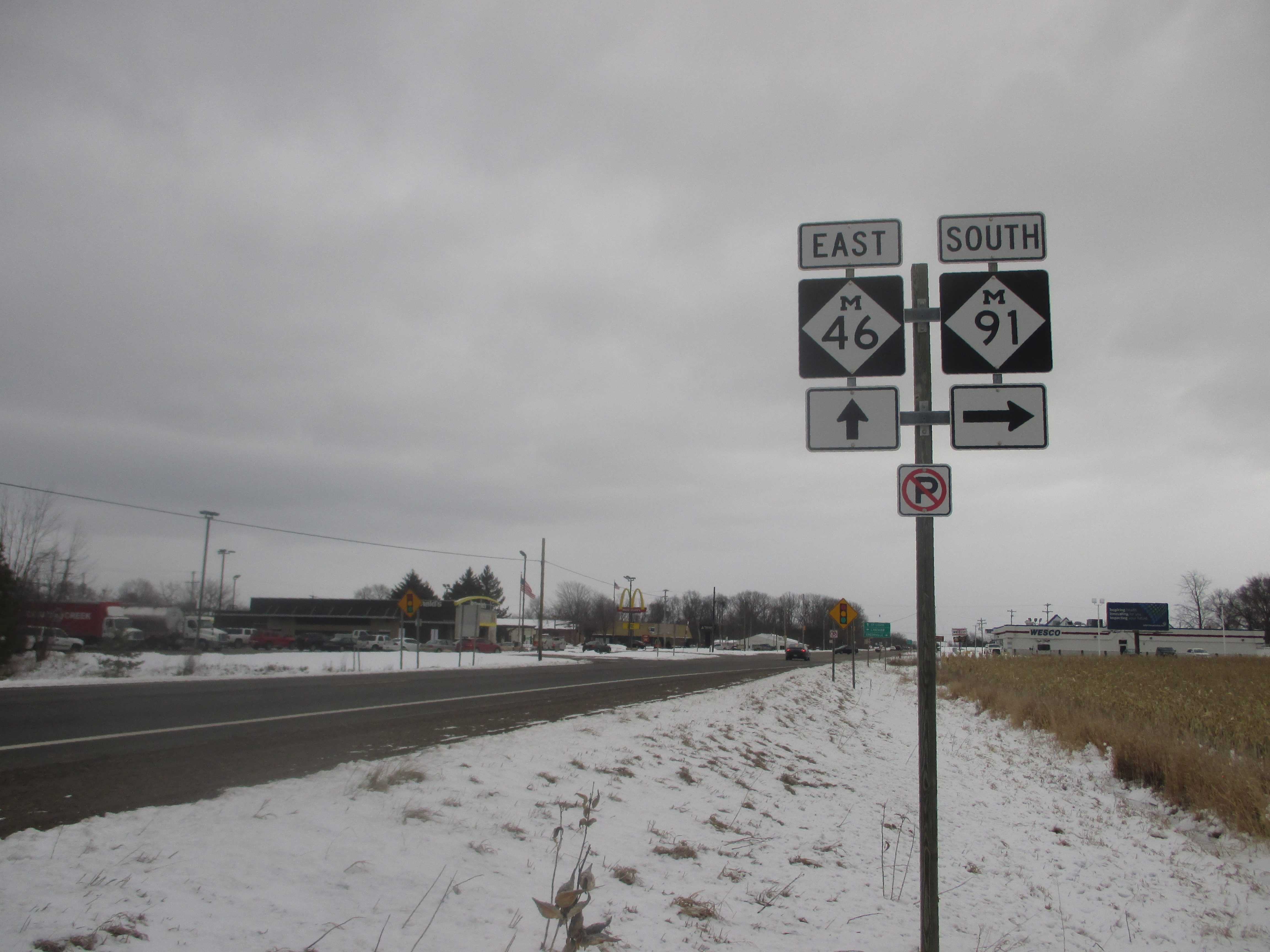
My photo of a Michigan Highway 46 marker comes from the junction of Michigan Highways 91 and 46, at the small town of Lakeview. This is east of US Route 131 and Howard City. The guide assembly photographed faces west for eastbound traffic on Michigan Highway 46. The photo was taken on the way home from Traverse City in March 2018.
Back to the Michigan main page.
Back to the home page.
Back to the Michigan main page.
Back to the home page.

