Ohio State Route 661 runs south out of Mount Vernon to Granville, in central Ohio. The northern end is a split from Ohio Route 13 on the south side of Mount Vernon. It shifts west to a different southerly alignment from the one Ohio Route 13 uses to leave Mount Vernon. Ohio Route 661's direction is closer to due south than that of Ohio Route 13 serves Utica and Saint Louisville before serving Newark. Ohio Route 661 heads into Licking County with a different intention. It aims to serve Granville, where it meets the freeway carrying Ohio Route 16 and Ohio Route 37. Ohio Route 661 ends at this freeway, which becomes Ohio Route 16 just to the west.
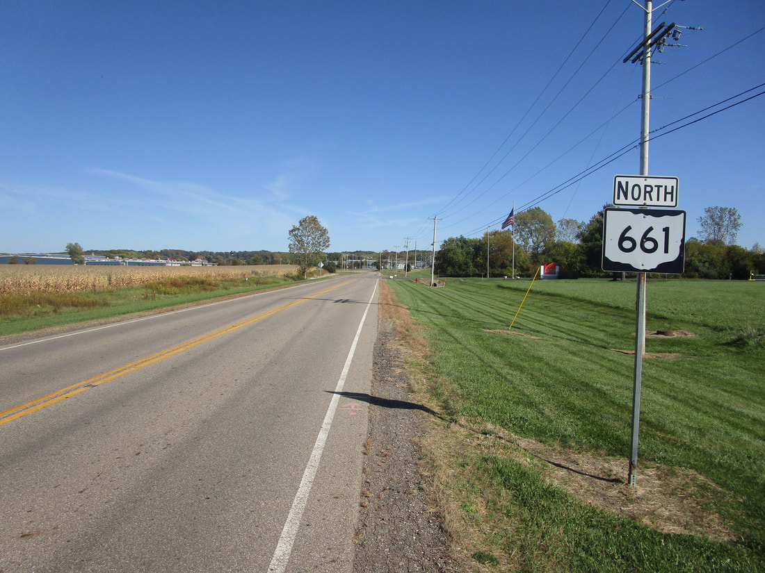
My photo for Ohio Route 661 comes from its northernmost segment, the final northeasterly jaunt to Ohio Route 13 in Mount Vernon. When Ohio Route 661 splits away from Ohio Route 13, it uses Blackjack Road southwest to a turn onto Granville Road south. This photo comes from the corner of Blackjack Road and Granville Road, looking east on Blackjack Road. Ohio Route 661's trailblazer is shown, reassuring those who made the turn to the east. This photo was taken on the way from Columbus to my tour around northeastern Ohio, in October 2022.
Back to Ohio Routes 600-699.
Back to the Ohio main page.
Back to the home page.
Back to Ohio Routes 600-699.
Back to the Ohio main page.
Back to the home page.

