Ohio State Route 148 is an east-west route running across southern Belmont County. It has the habit of catching other north-south routes looking for a place to terminate. Ohio Route 148 begins in southwestern Belmont County, at Ohio Route 800 a few miles south of Barnesville. Ohio Route 148 then runs east through the valley carved by Captina Creek (no, I didn't spell "captain" wrong). As Ohio Route 148 runs eastward, it meets the northern end of Ohio Route 26, the northern end of Ohio Route 145, and the southern end of Ohio Route 9. The terminus of Ohio Route 9 occurs at the unincorporated place known as Armstrongs Mills. Ohio Route 148 continues along Captina Creek until it reaches Powhatan Point, a town on the Ohio River. It crosses Ohio Route 7 at-grade as it enters town, and loops back north through town to end at Ohio Route 7. As it meets Ohio Route 7 twice, Ohio Route 148 acts as a sort of business alternate to Ohio Route 7 through Powhatan Point as its final contribution before ending.
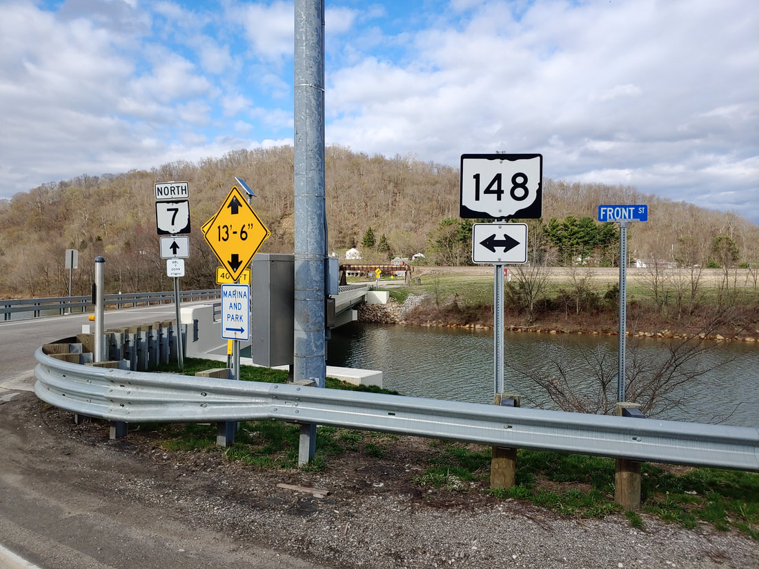
My photo of Ohio State Route 148 comes from its 4-way intersection with Ohio Route 7 on the southwest side of Powhatan Point. The photo looks north at signage that was placed for use by Ohio Route 7's northbound traffic. The guide marker points out the location of the intersection where a turn in either direction will put a driver on Ohio Route 148. This photo was taken during the tour around the southeastern quarter of Ohio in March 2021.
Back to Ohio Routes 100-199.
Back to the Ohio main page.
Back to the home page.
Back to Ohio Routes 100-199.
Back to the Ohio main page.
Back to the home page.

