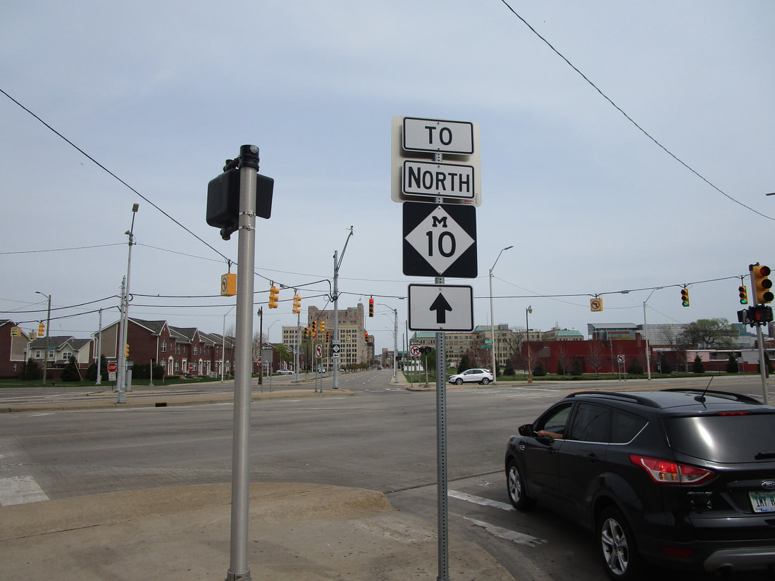
Michigan Highway 10 is a highway running northwest out of downtown Detroit to the suburbs; it runs along the John C. Lodge Freeway for all of its length except for its last few miles away from downtown. The southeastern end of Michigan Highway 10 dumps cars out onto Jefferson Avenue, right alongside the Detroit River. The northwestern extent of the John C. Lodge Freeway occurs at a convoluted interchange involving Interstate 696 and US Route 24. Beyond that interchange, Michigan Highway 10 continues farther northwest for another three or four miles. That remainder of Highway 10 follows a classic Michigan boulevard called Northwestern Highway. The final endpoint is at Orchard Lake Road in West Bloomfield Township.
My photo of a Michigan Highway 10 marker was taken on Temple Avenue at the junction with Grand River Avenue, which carries Michigan Highway 5. You'll notice that neither of the streets at this intersection is Michigan Highway 10; if you're looking for Michigan Highway 10, it passes under this intersection via a long underpass. The guide sign shown faces west at eastbound travelers along Temple Avenue. It would like to inform those travelers that the turn on the M-10 northbound isn't here at M-5, but it's just ahead. This photo was taken in April 2021 along my trip around Detroit and the Thumb of Michigan.
Back to the Michigan main page.
Back to the home page.
Back to the Michigan main page.
Back to the home page.

