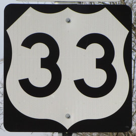
US Route 33 is a diagonal route just like US Route 35, and it gets its northwestern start in Indiana, just like US Route 35. US Route 33 gets a little farther than US Route 35, though, as its southeastern end is in Richmond, Virginia. The northwestern end of US Route 33 is at the peripheral US Route 20 freeway along the south side of Elkhart, Indiana. From there, US Route 33 heads southeast to the Fort Wayne area, where it uses Interstate 69 and Interstate 469 around the south side of town. US Route 33 continues southeast to Wapakoneta, Bellefontaine, Columbus, Athens, and Pomeroy in Ohio; from Bellefontaine to Pomeroy, US Route 33 is an expressway. Soon after Pomeroy, US Route 33 crosses the Ohio River into West Virginia. Across West Virginia, US Route 33 runs mainly east-west, north of the state's exact middle, but still in a region I'd call "central West Virginia". In Virginia, US Route 33 runs southeast along the Interstate 64 corridor to end somewhere along Leigh Street in Richmond, Virginia. The Leigh Street viaduct carries the street over Interstate 95; poor signage makes the exact eastern endpoint difficult to pinpoint, but the few literal signs point to US Route 33 ending somewhere near that viaduct.
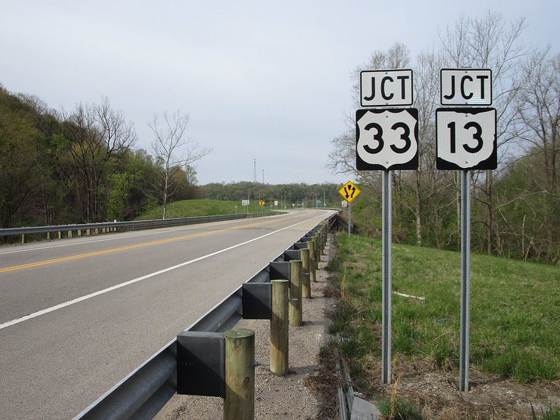
My photo for US Route 33 comes from its interchange with Ohio State Route 550 on the north side of Athens, Ohio. This pair of junction markers faces northeast along Ohio State Route 550, announcing the upcoming interchange with US Route 33 to traffic on that state highway. I took this photo in April 2021, at an early stage of the Virginia trip. The interchange home to this junction marker assembly sits a bit north of US Route 50, in Athens, in southeastern Ohio.
Back to the nationwide main page.
Back to the home page.
Back to the nationwide main page.
Back to the home page.


