Michigan Highway 38 is an east-west route in the northwestern part of the Upper Peninsula. It basically traces across the base of the Keweenaw Peninsula. The western extent of the route becomes Michigan Highway 64 at a four-way junction with US Route 45 in Ontonagon. That is to say, the northern end of Michigan Highway 64 and the western end of Michigan Highway 38 are at the same point. From that endpoint, Michigan Highway 38 heads east for 42 miles to Baraga, where it ends at US Route 41. It meets Michigan Highway 26 near Greenland; this is the only route and the only town encountered by Michigan Highway 38 between its two endpoints.
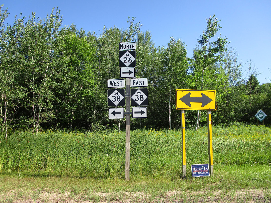
My photo of a Michigan Highway 38 marker is at the western junction with Michigan Highway 26 near Greenland. From the point where I took this photo, Michigan Highway 26 joins Michigan Highway 38 easterly for a short distance. The sign assembly depicted points south, communicating to northbound travelers waiting at the stop sign across the road. This photo was taken in July 2015 during an excursion to the Upper Peninsula. I had just explored a pitch-black copper mine tunnel nearby when I took this photo!
Here are a few more photos from Michigan Highway 38:
Here are a few more photos from Michigan Highway 38:

Michigan 38 begins as a continuation of the pavement carrying Michigan 64, which ends at US Route 45 in Ontonagon.

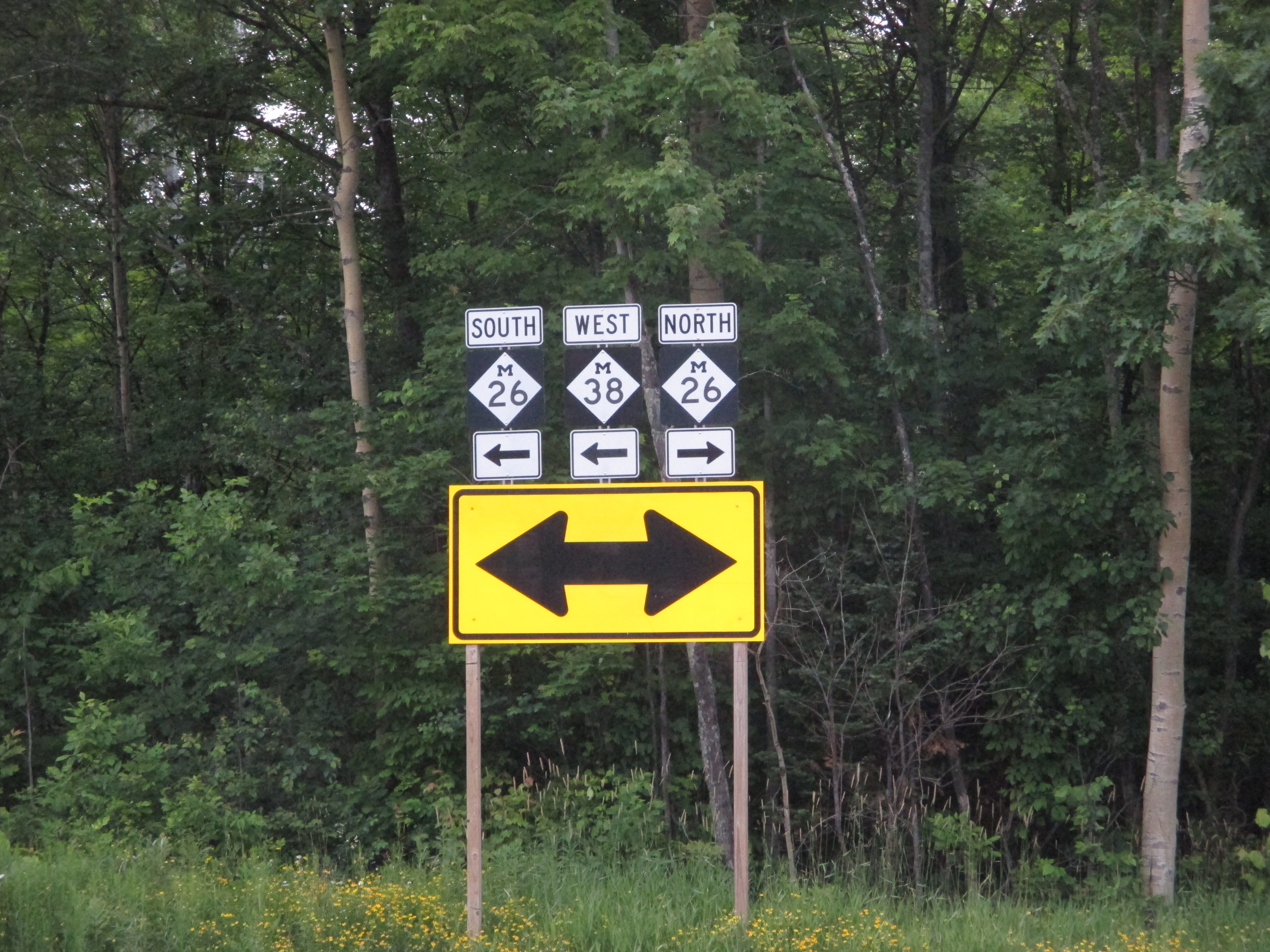
Michigan 38 heads west, splitting from Michigan 26.

Westbound travelers on Michigan 38 reach a T-intersection, and are told to turn left onto Michigan 26 in order to continue on Michigan 38.

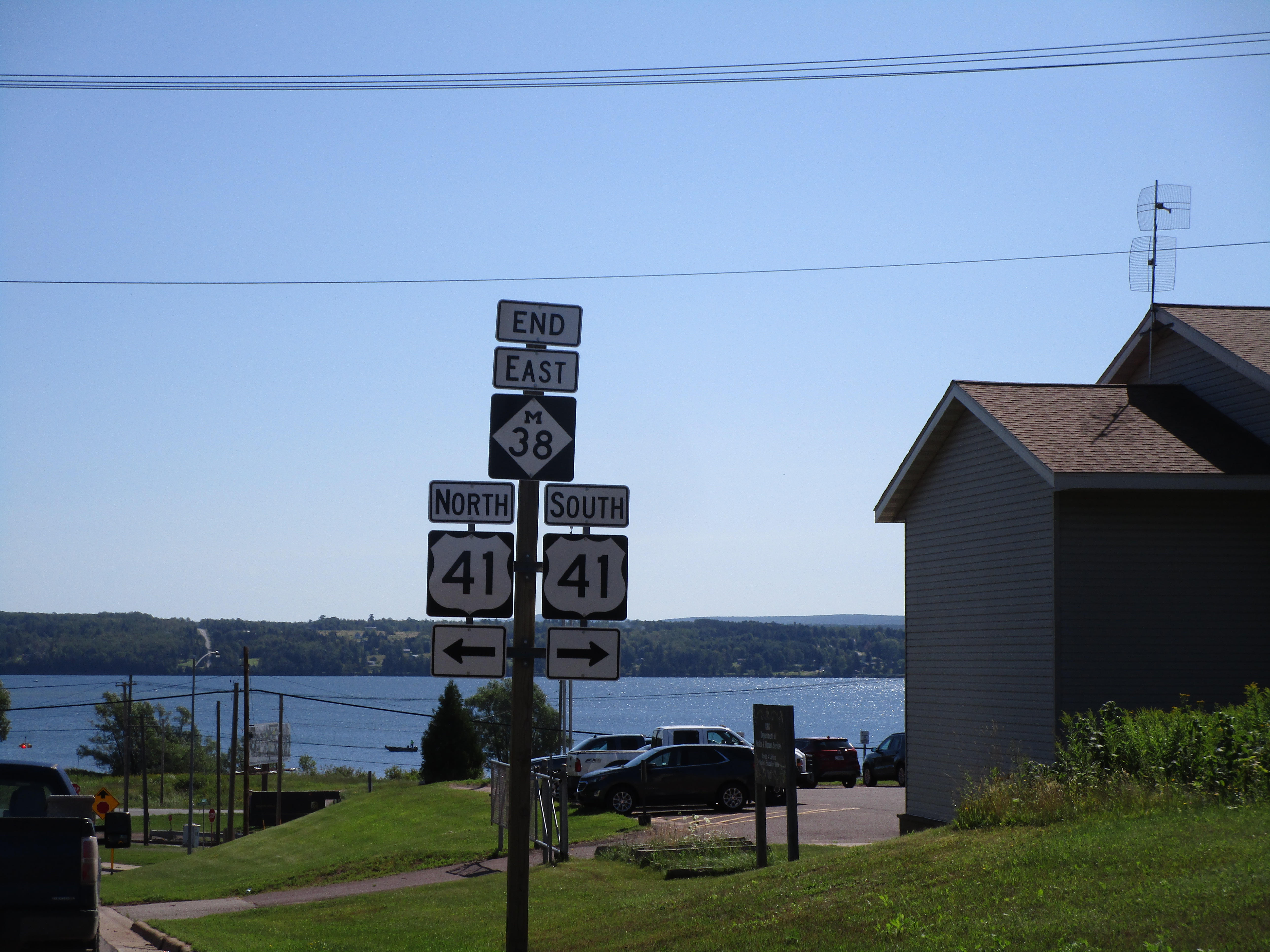
Michigan 38 meets its eastern end at US Route 41 in Baraga.

