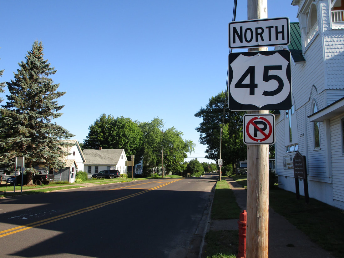
US Route 45's stretch in Michigan spans north-south across the western portion of the Upper Peninsula. US Route 45's ultimate northern endpoint occurs in the downtown of Ontonagon, Michigan, a town on the shores of Lake Superior. It reaches that endpoint by proceeding north across the western Upper Peninsula; this beings with a crossing out of Wisconsin at the town of Land O' Lakes, Wisconsin. US Route 45's northward progression meets US Route 2 at Watersmeet, and it meets Michigan Highway 28 at Bruce Crossing. Near Rockland, the northward path of US Route 45 frays into two paths; the continuation of US Route 45 diverts northwesterly, and the inception of Michigan Highway 26 starts off northeasterly toward the Keweenaw. The last section of US Route 45 spears through Rockland and continues northwest to its terminus in Ontonagon. This terminus is at Ontonagon Street in the eponymous village; it doesn't involve any marked highways, as Ontonagon is a northern offshoot from the rest of the highway system.
My photo of US Route 45 shows the northbound reassurance marker for travelers entering Ontonagon, just after crossing the junction with Michigan Highways 38 and 64. For context, an east-west highway skirts along the southern edge of Ontonagon, serving as a bypass. East of the junction with US Route 45, the highway is Michigan Highway 38, and west of US Route 45, the highway is Michigan Highway 64. Both of those state highway designations get their start at this junction with US Route 45, and the reassurance marker shown in the picture is for those turning northerly out of this junction. This photo was taken in August 2020, on a trip to various rural locations in Michigan (the Porcupine Mountains, Pictured Rocks, Tahquamenon Falls, Mackinac Island, and the Traverse City area).
Back to the Michigan main page.
Back to the home page.
Back to the Michigan main page.
Back to the home page.

